Elevation of Lilac Ridge Road, Lilac Ridge Rd, San Ramon, CA, USA
Location: United States > California > Contra Costa County > San Ramon >
Longitude: -121.93667
Latitude: 37.7815255
Elevation: 183m / 600feet
Barometric Pressure: 99KPa
Elevation Map:
Satellite Map:
Related Photos:

Freshly Watered

Mt Diablo Fisheye View

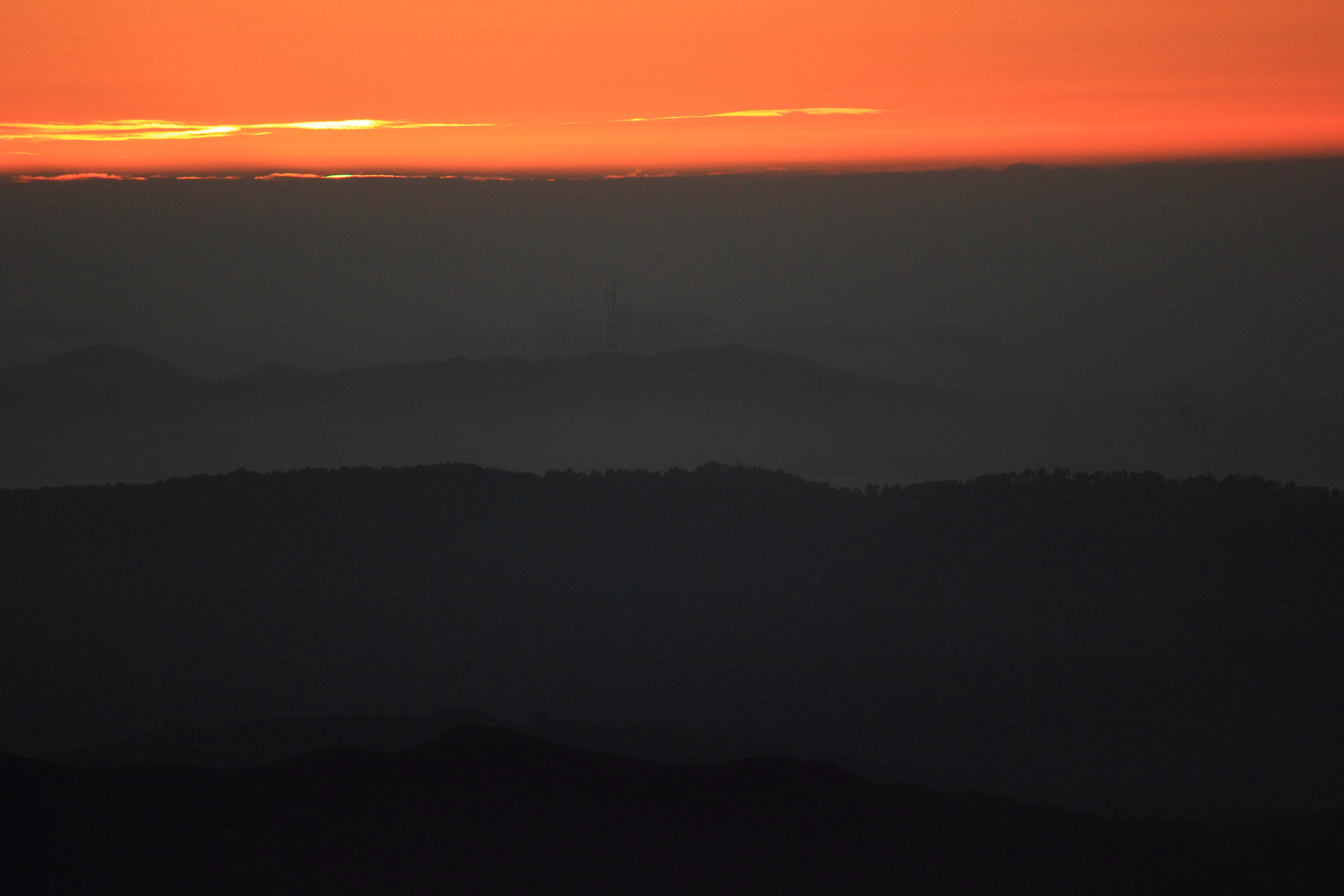
Sunset from Mount Diablo

Giddy-Up!

Fossil Ridge Trail - View Large

All Jeweled Up

American Robin - Frontal View

Driver's View

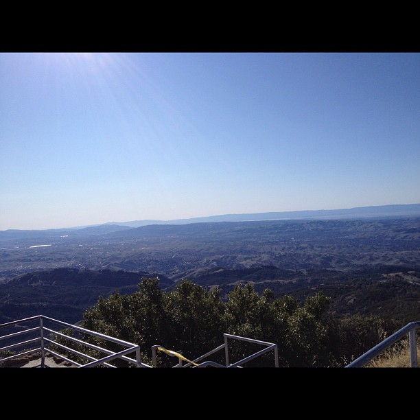
Mt. Diablo Sunset

Flowers on a Bush

#cloud #sky #blue #circular #circle #sun #nature #view #scenery

wheels on fire

California Sunset

Night View of Tri-Valley

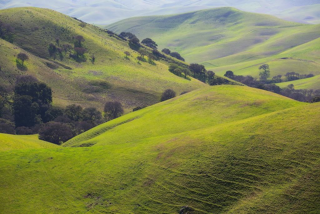
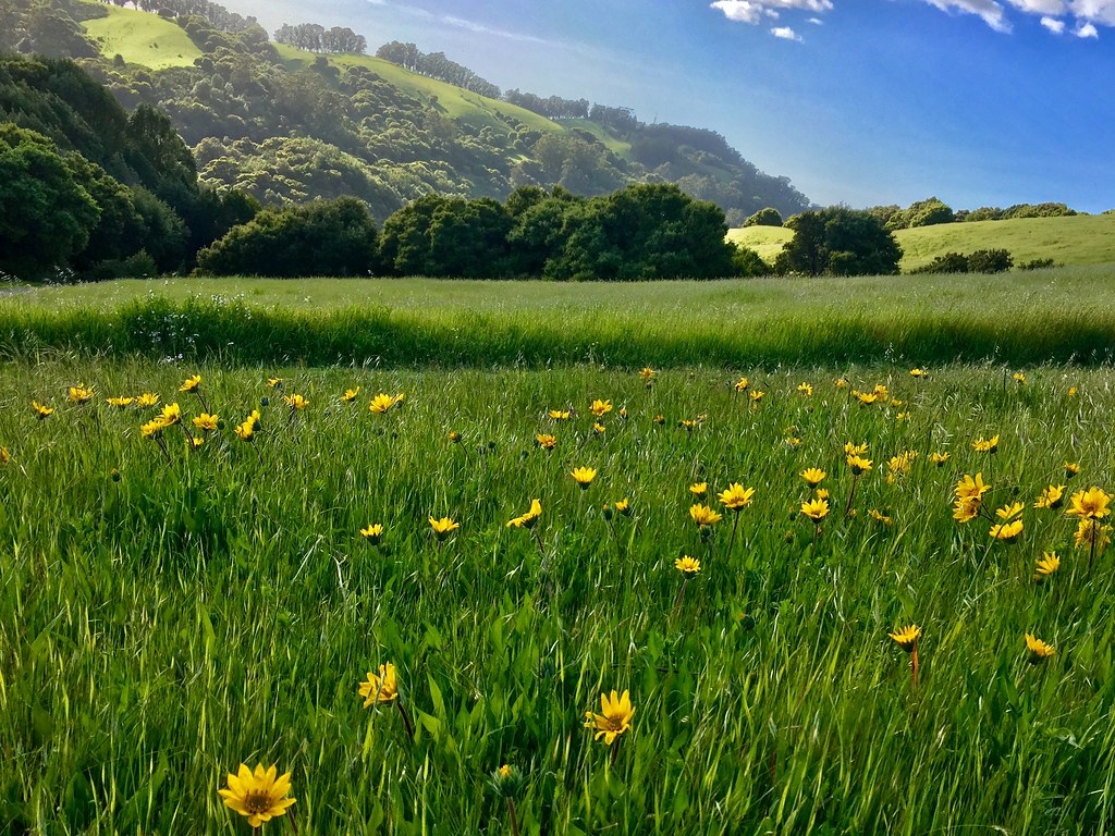
While the Hills are Green!
Green Flash

Asters in the Lights

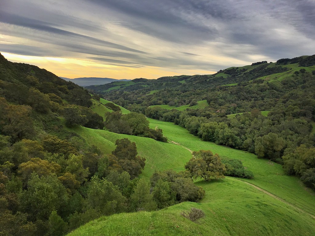
The hills are alive...

JA Lewis Park 20150326

View from my room.

Serenity - Super Moon over Dublin 05-05-2012

spring all the way
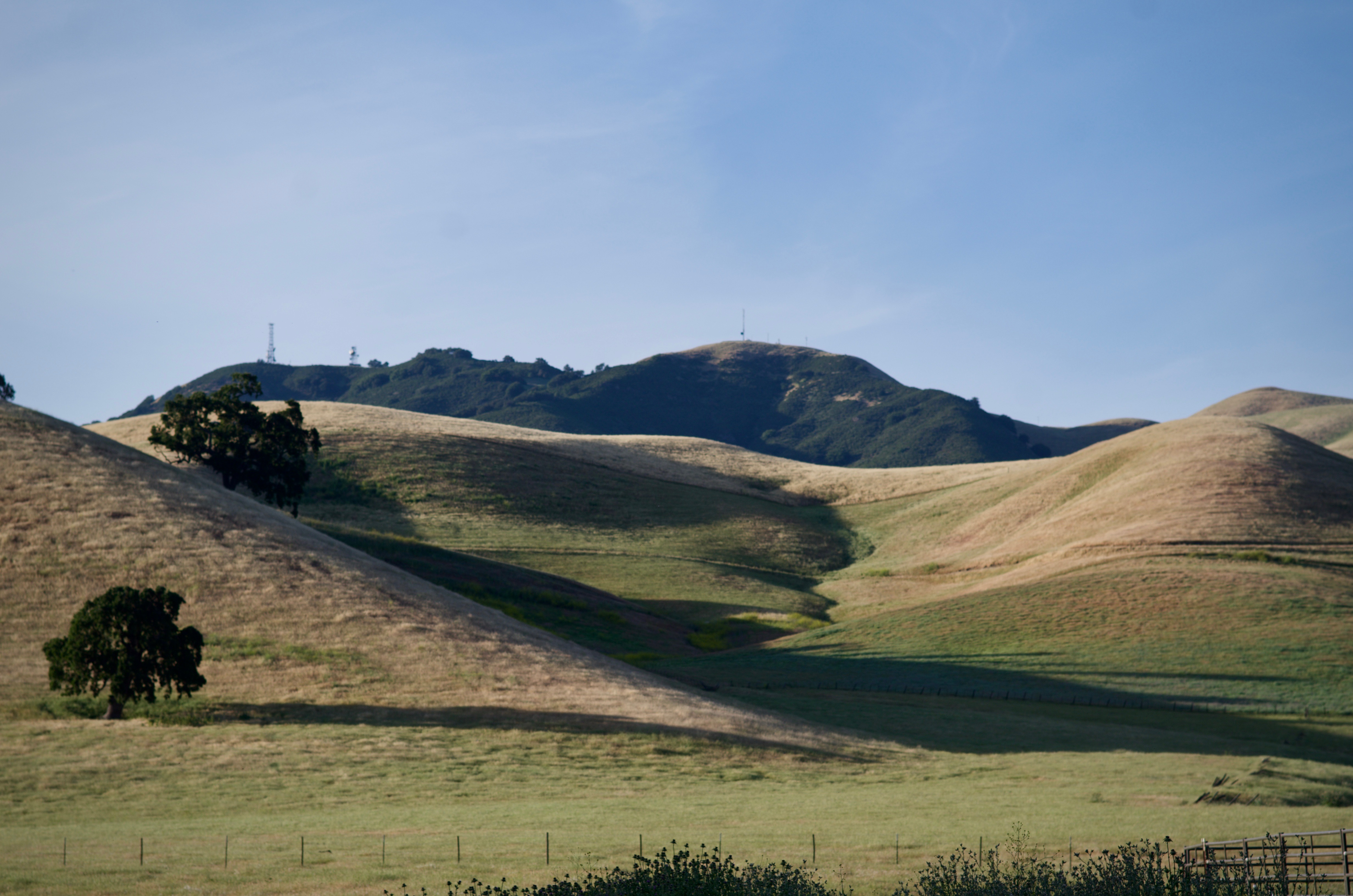
Diablo Hills

Secret Hill

Mindless Self Indulgence
Reinstein Ranch

Oceans of Green
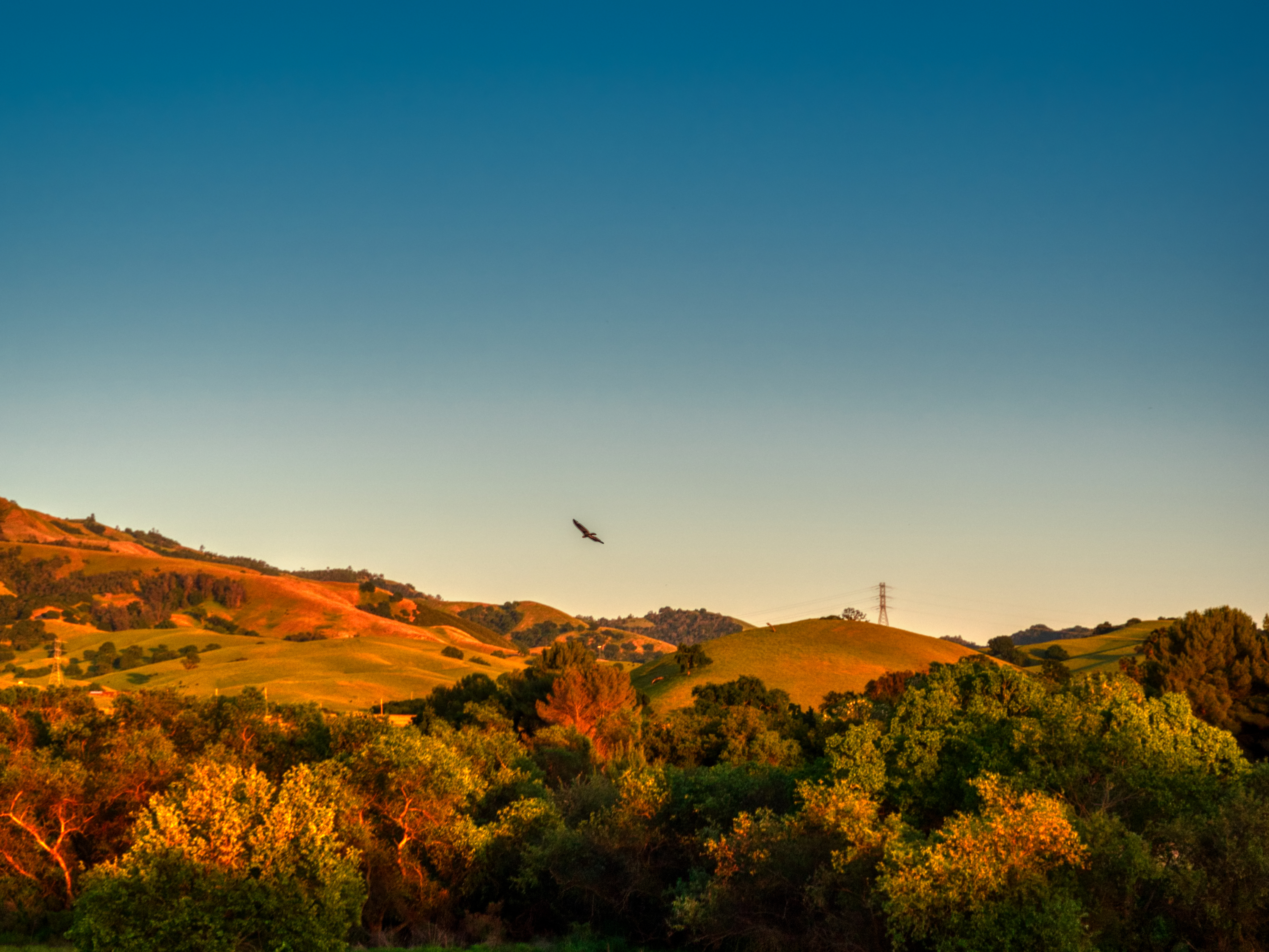
Diablo Foothills Golden Hour

Foggy rock

Mountain partially skinned (Mt Zion mine)
Lake Chabot

Goodbye Stormy Skies

Th fog was rolling in quick!
Las Trampas

Morgan Territory Road, Livermore, California

photo.JPG

APC_1146-hdr-Pano.jpg

Chabot Park

43/365 From The Ridge

136/365
Today's hike
Topographic Map of Lilac Ridge Road, Lilac Ridge Rd, San Ramon, CA, USA
Find elevation by address:

Places near Lilac Ridge Road, Lilac Ridge Rd, San Ramon, CA, USA:
2016 Wineberry Dr
The Bridges Golf Club
372 Bellflower Ct
350 Bollinger Canyon Ln
3010 Lakemont Dr
Canyon Woods Apartments
711 Endsleigh Ct
4168 Greenwich Dr
2623 Camino Ramon
2103 Presidio Ct
6121 Bollinger Canyon Rd
Gale Ranch Middle School
Sentinels Of Freedom Scholarship Foundation
2600 Camino Ramon
Trefoil Road
366 Conway Dr
6001 Bollinger Canyon Rd
3100 Riviera Way
2861 Millbridge Pl
3040 Sombrero Cir
Recent Searches:
- Elevation of Corso Fratelli Cairoli, 35, Macerata MC, Italy
- Elevation of Tallevast Rd, Sarasota, FL, USA
- Elevation of 4th St E, Sonoma, CA, USA
- Elevation of Black Hollow Rd, Pennsdale, PA, USA
- Elevation of Oakland Ave, Williamsport, PA, USA
- Elevation of Pedrógão Grande, Portugal
- Elevation of Klee Dr, Martinsburg, WV, USA
- Elevation of Via Roma, Pieranica CR, Italy
- Elevation of Tavkvetili Mountain, Georgia
- Elevation of Hartfords Bluff Cir, Mt Pleasant, SC, USA