Elevation of Prairie Chapel Rd, Crawford, TX, USA
Location: United States > Texas > Mclennan County > Crawford >
Longitude: -97.550942
Latitude: 31.563834
Elevation: 277m / 909feet
Barometric Pressure: 98KPa
Elevation Map:
Satellite Map:
Related Photos:

Broken Oak and the Night Sky

The Mosheim Schoolhouse

It was a honker of a hill but a wonderful view!

5:00 view during cocktails

This cat has a birds eye view of the bird feeder.
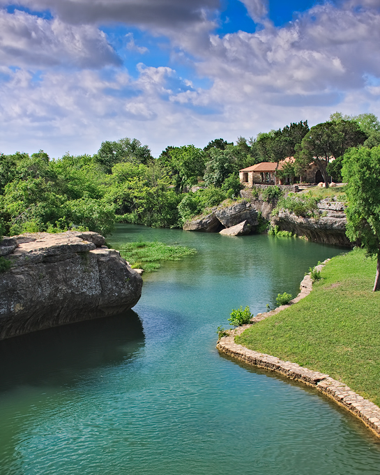
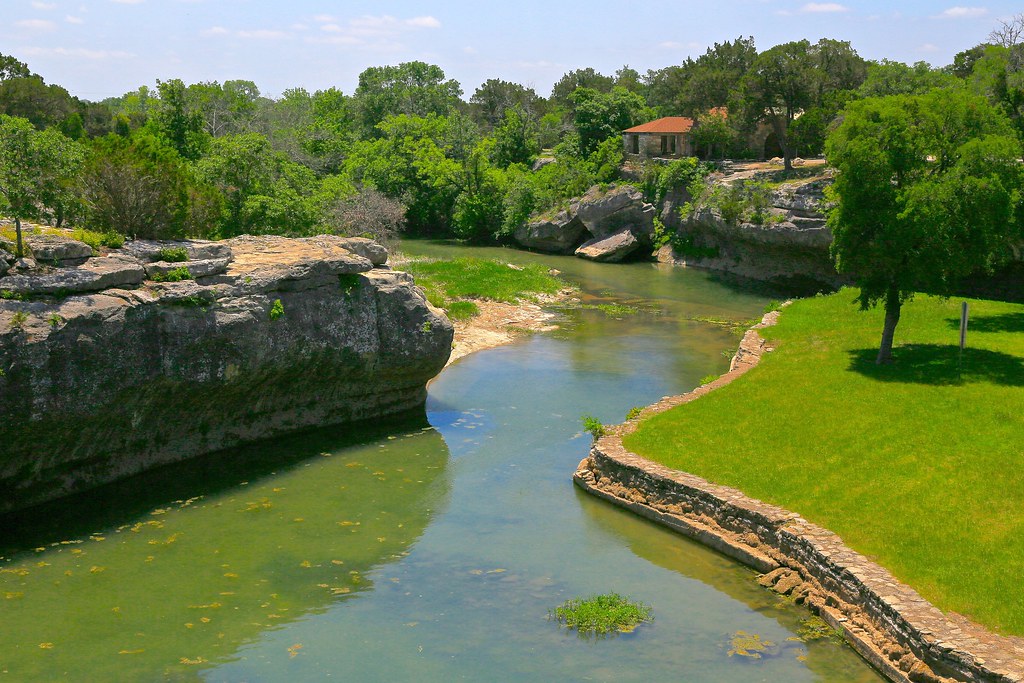
TONKAWA FALLS PARK, CRAWFORD, TX
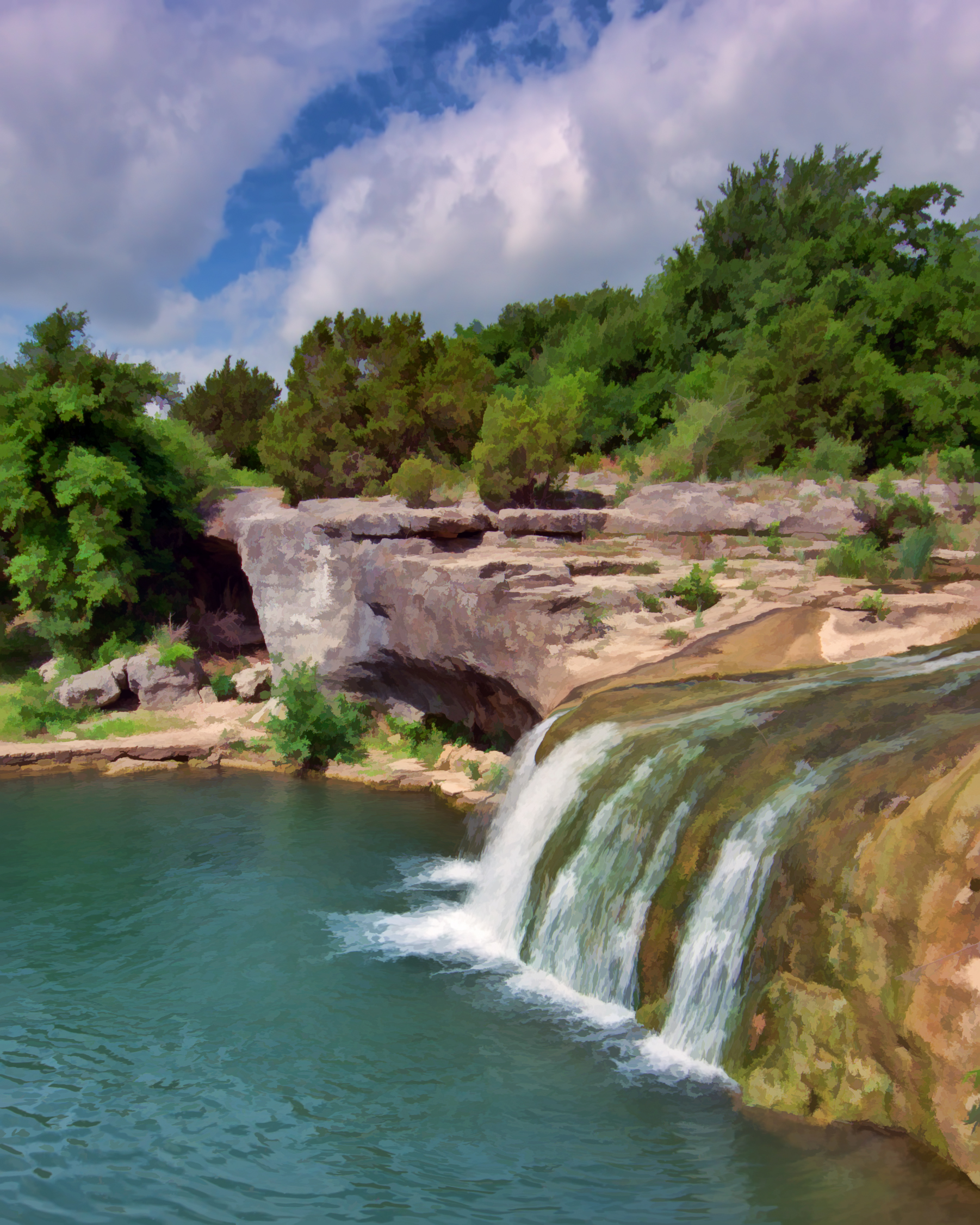
TONKAWA FALLS

Tonkawa Falls #2

Tonkawa Falls

The wheat is ready to harvest.
High Noon

Tonkawa Park Turtle

Tonkawa Park,Crawford Texas

Tonkawa Falls
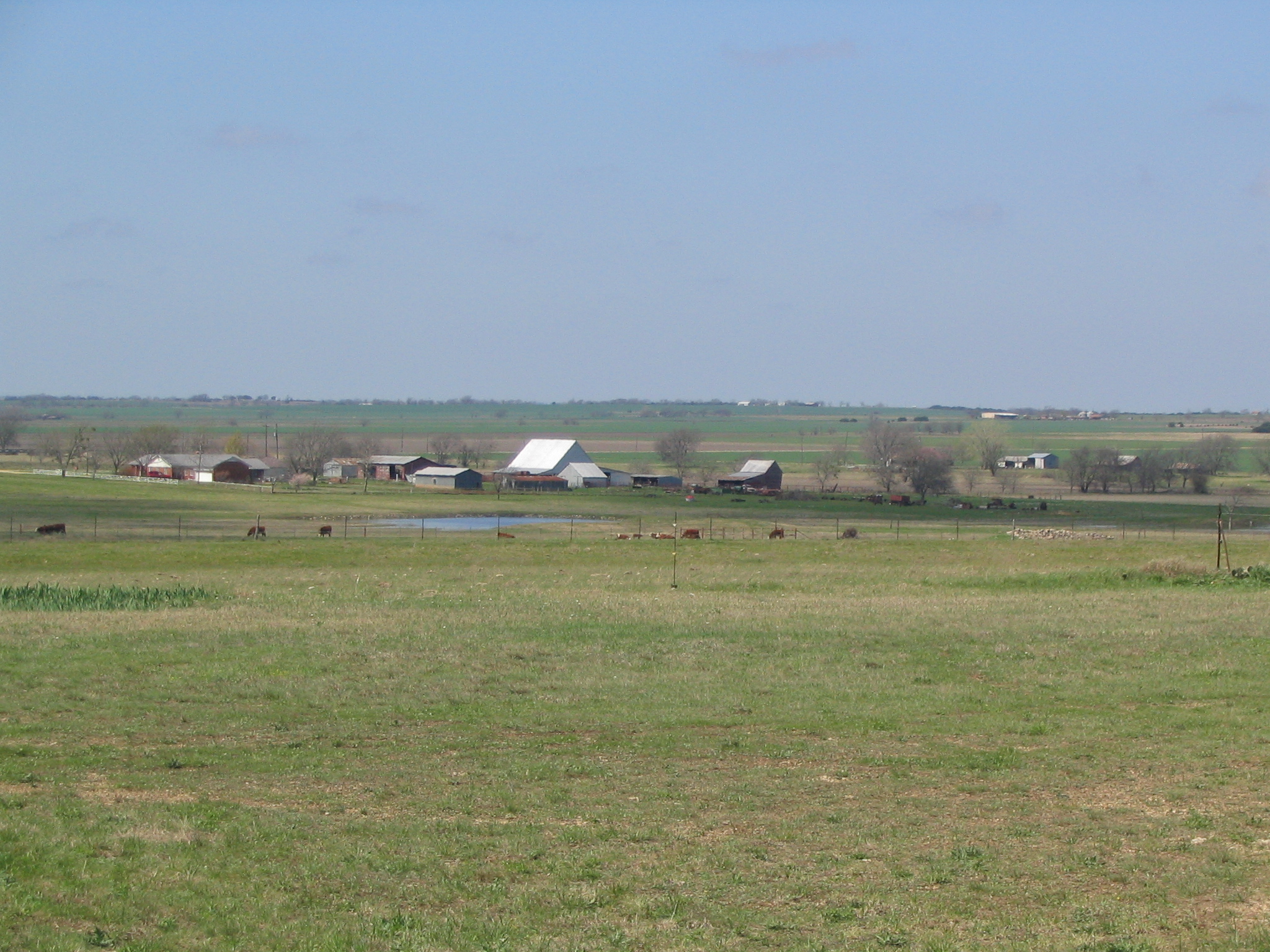
Ranchland Near Prairie Chapel Ranch, Crawford, Texas

Central Texas Summer Creek

Big Old Barn

Technological Harvest

Central Texas Intersection (McLennan County, Texas)

What a beautiful morning as I head to Fort Worth for the Central Texas Ministry Summit

Pretty Yellow (social) Flowers

Heart Breaker???

History that's Laid to Rest.

It's good to be home in Central Texas

Road to the End.
Topographic Map of Prairie Chapel Rd, Crawford, TX, USA
Find elevation by address:

Places near Prairie Chapel Rd, Crawford, TX, USA:
10345 Fm215
Pleasant Run Road
8461 N Lone Star Pkwy
Crawford
N Lone Star Pkwy, Crawford, TX, USA
220 Wendt Rd
Valley Mills
Oglesby
341 Compton School Rd
2915 Anderson Ln
Anderson Lane
Mcgregor
Cedar Rock Pkwy, Crawford, TX, USA
Ole School Pkwy, McGregor, TX, USA
1500 State School Rd
Texas, USA
Clifton
FM 56, Clifton, TX, USA
TX-36, Gatesville, TX, USA
Highway 6
Recent Searches:
- Elevation of Corso Fratelli Cairoli, 35, Macerata MC, Italy
- Elevation of Tallevast Rd, Sarasota, FL, USA
- Elevation of 4th St E, Sonoma, CA, USA
- Elevation of Black Hollow Rd, Pennsdale, PA, USA
- Elevation of Oakland Ave, Williamsport, PA, USA
- Elevation of Pedrógão Grande, Portugal
- Elevation of Klee Dr, Martinsburg, WV, USA
- Elevation of Via Roma, Pieranica CR, Italy
- Elevation of Tavkvetili Mountain, Georgia
- Elevation of Hartfords Bluff Cir, Mt Pleasant, SC, USA