Elevation of N Lone Star Pkwy, Crawford, TX, USA
Location: United States > Texas > Mclennan County > Crawford >
Longitude: -97.442978
Latitude: 31.534638
Elevation: 210m / 689feet
Barometric Pressure: 99KPa
Elevation Map:
Satellite Map:
Related Photos:
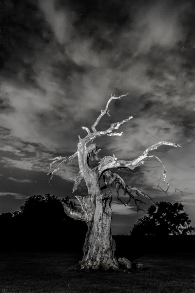
Broken Oak and the Night Sky

8000 N River Dining Area

8000 N River Kitchen

8000 N River View From Loft

8000 N River Living Area

8000 N River Stairs

8000 N River 012
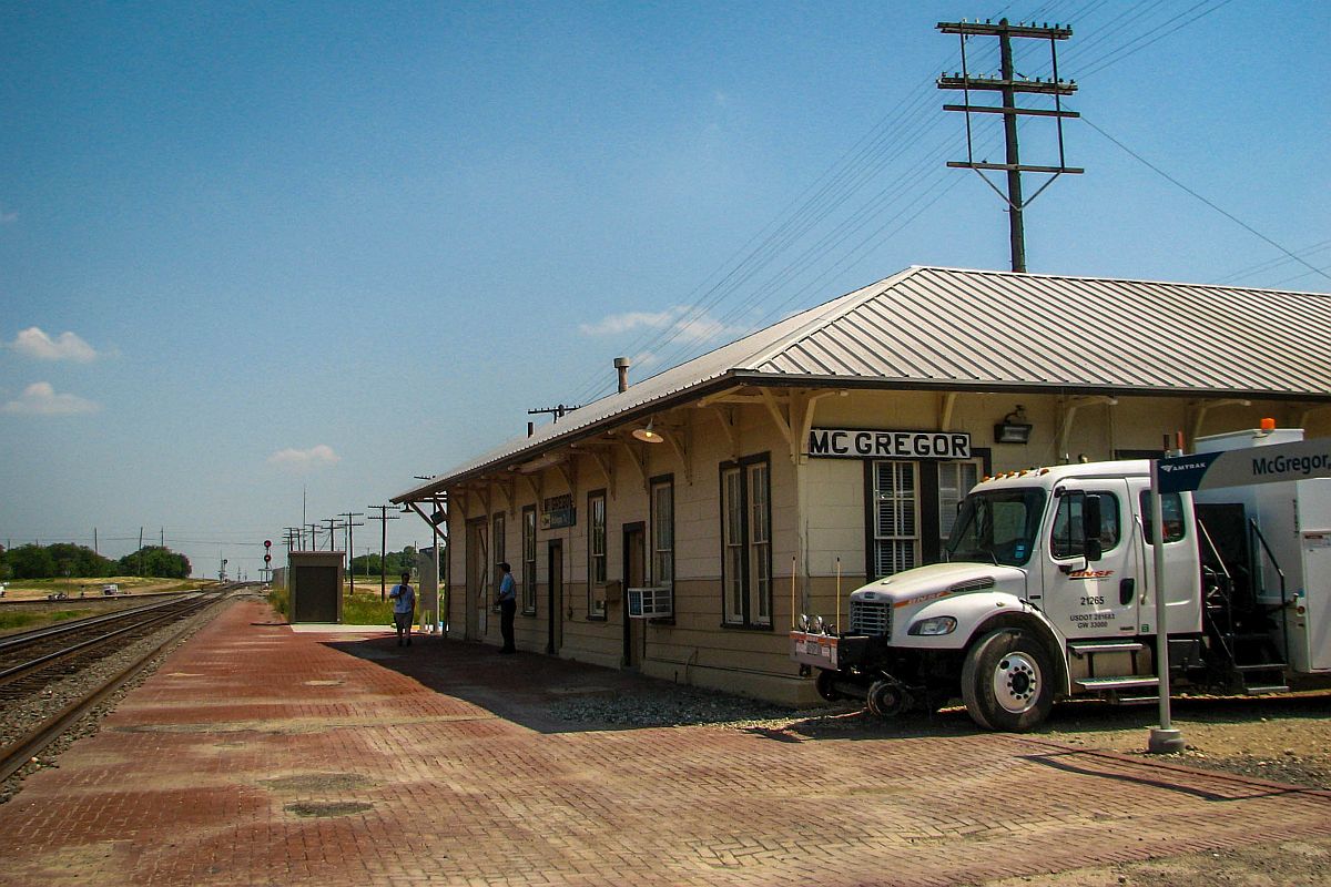
A view to the South at McGregor
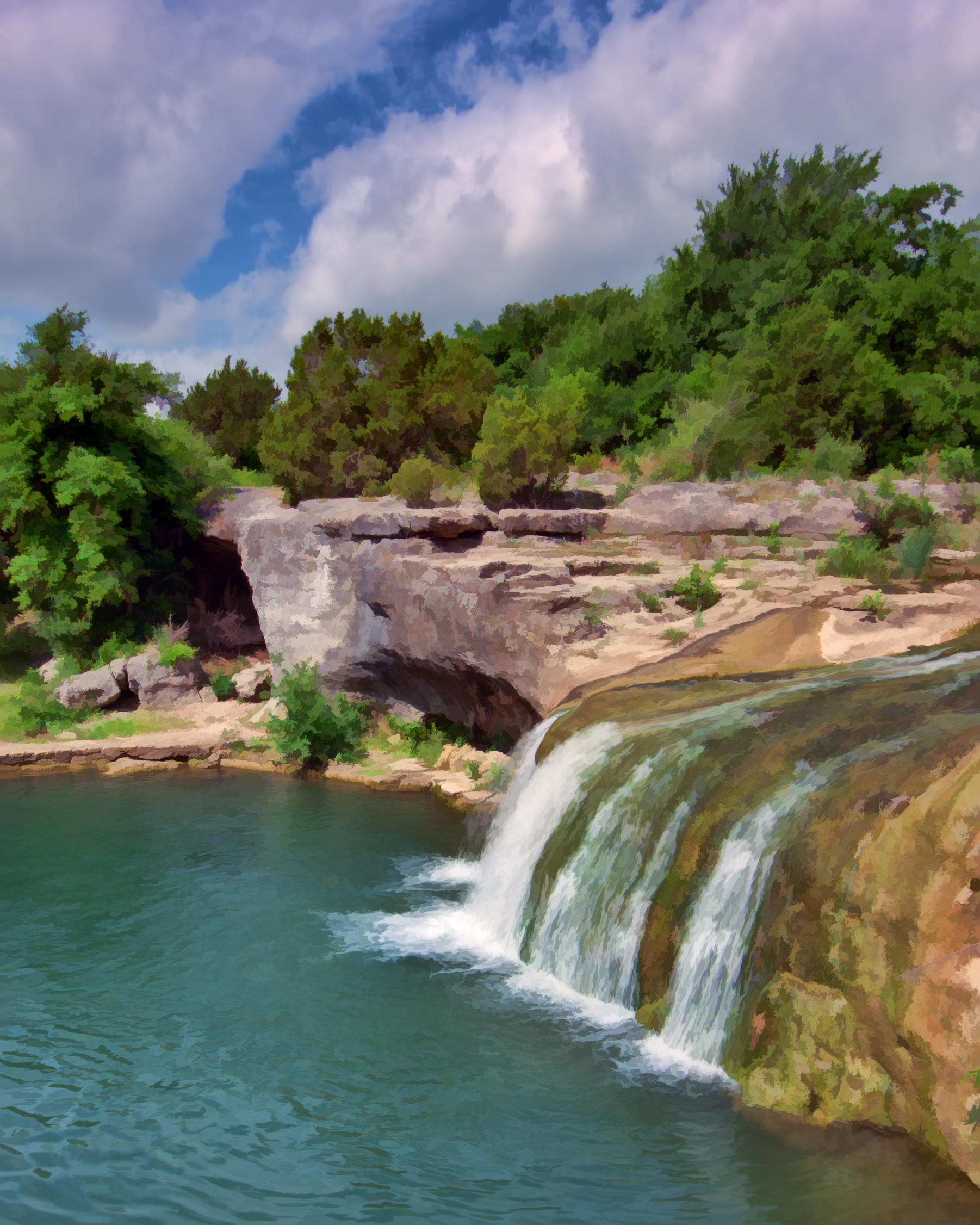
TONKAWA FALLS
TONKAWA FALLS PARK, CRAWFORD, TX
#fmsphotoaday #water lake Waco.

North Bosque River

Project.Flickr - Weather 2
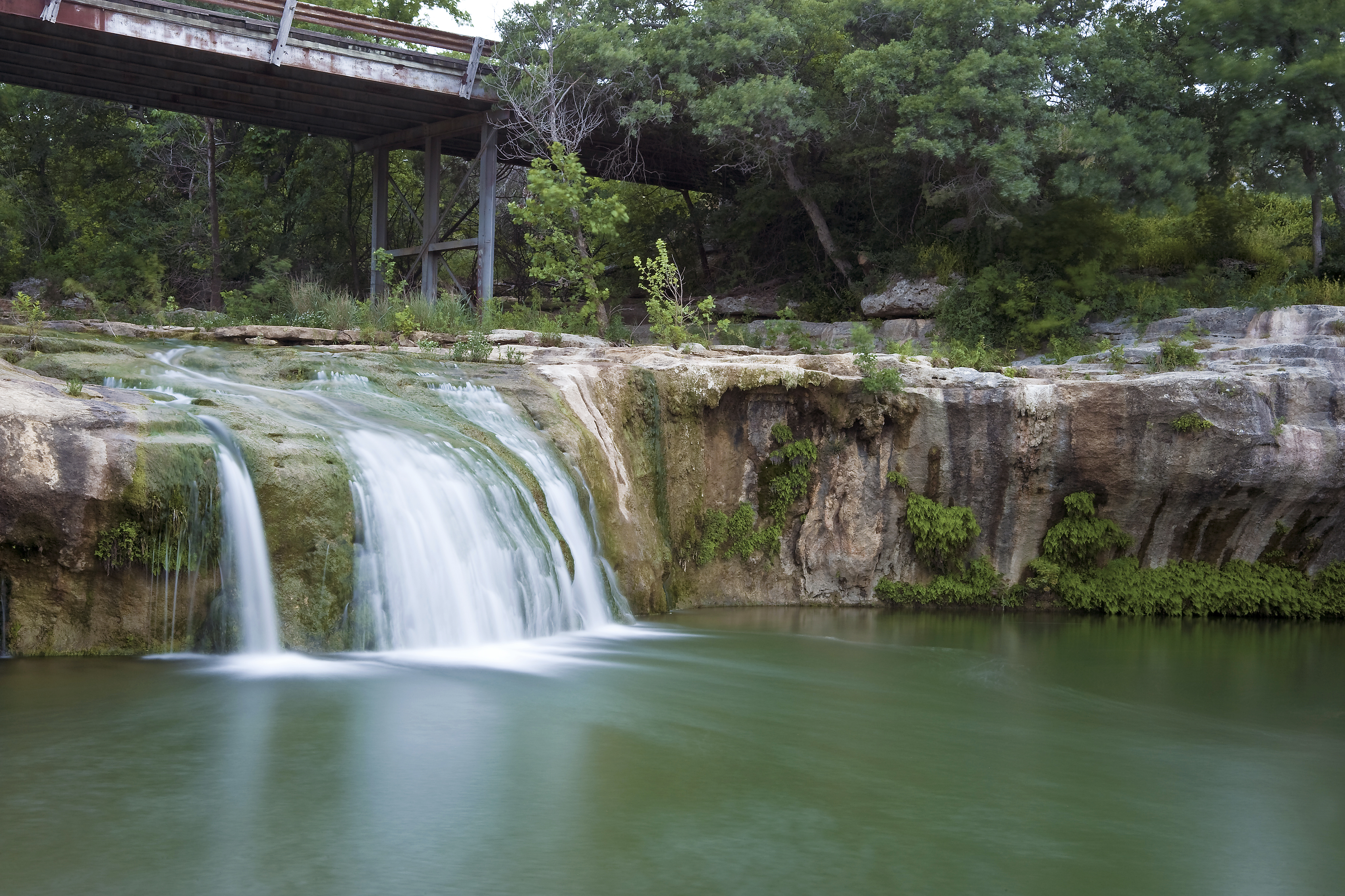
Tonkawa Falls
Winter Sun
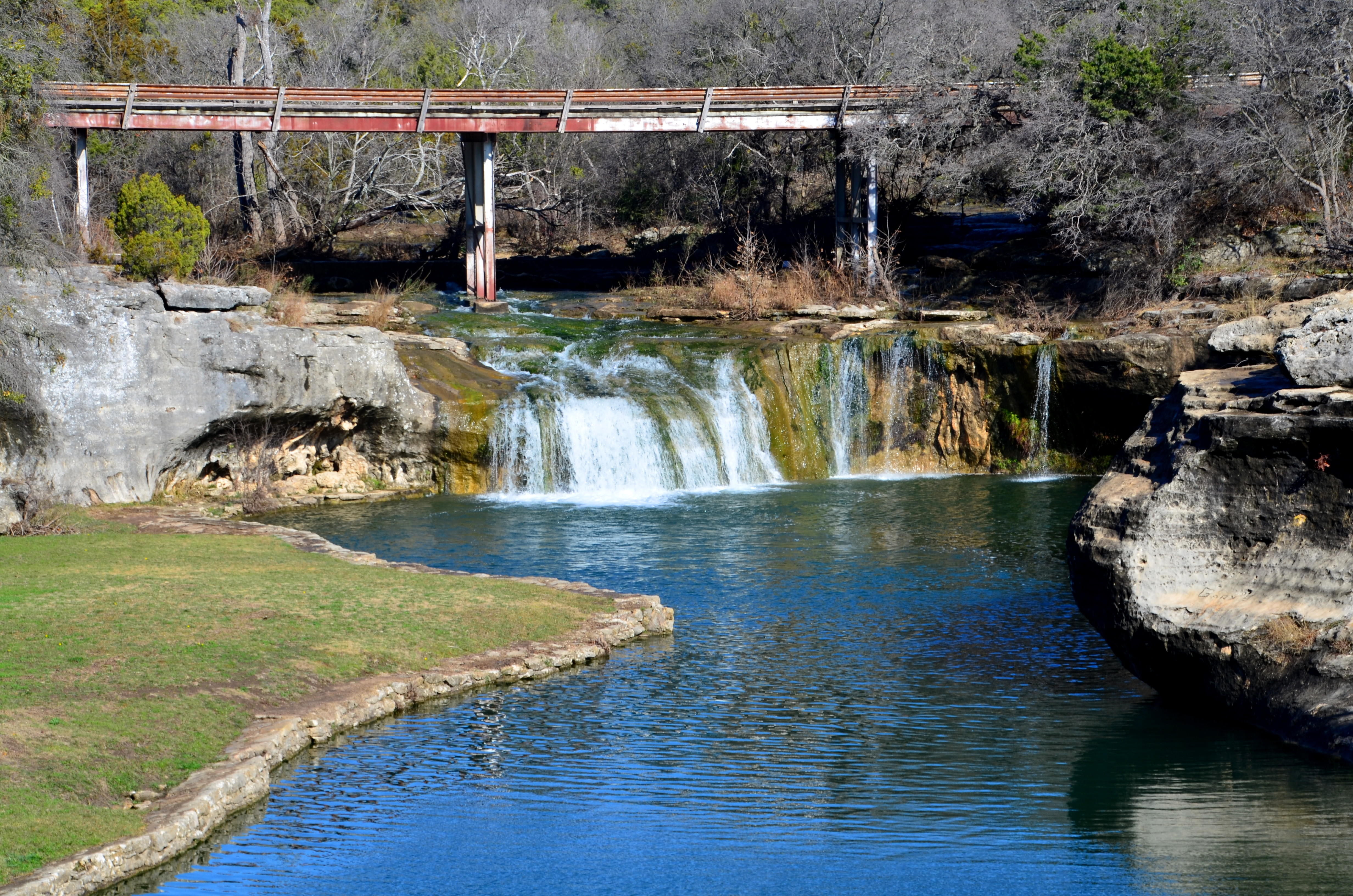
Tonkawa Falls #2

Tonkawa Park Turtle
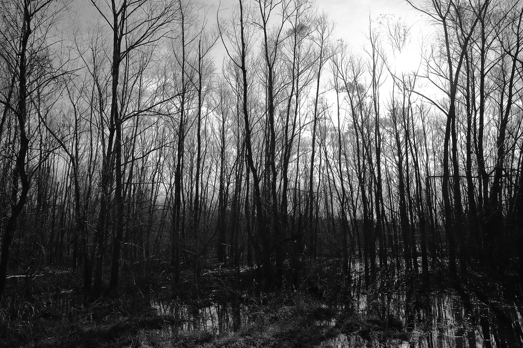
Hog Creek, Ocee, Texas
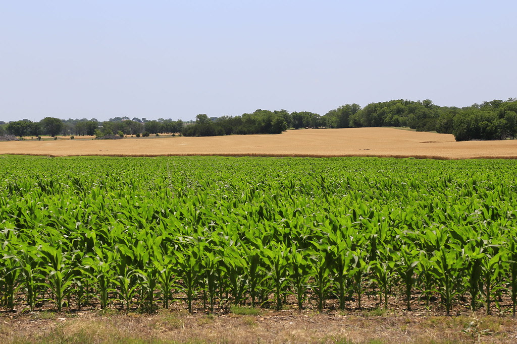
The wheat is ready to harvest.

Big Old Barn

Technological Harvest

History that's Laid to Rest.

High Noon

Road to the End.
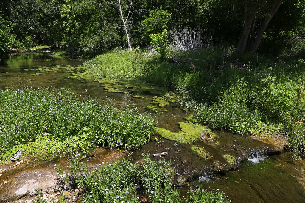
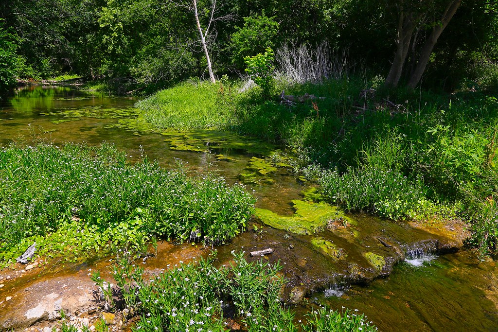
Hog Creek
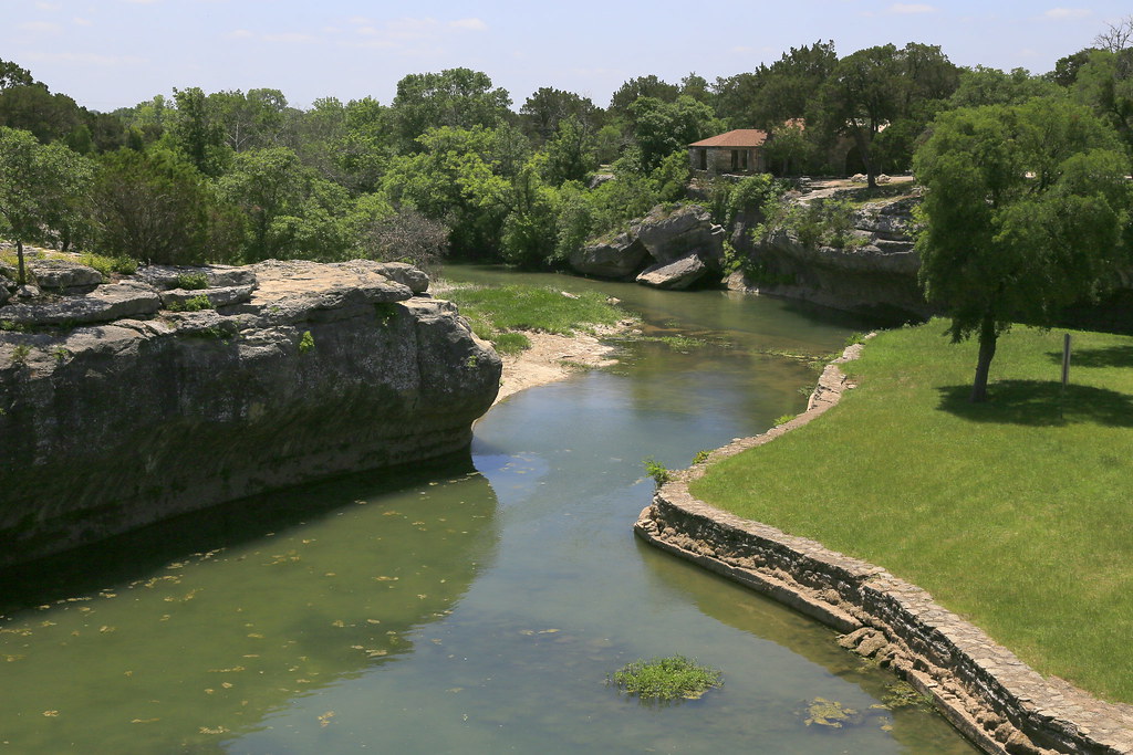
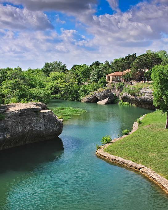
Tonkawa Park,Crawford Texas
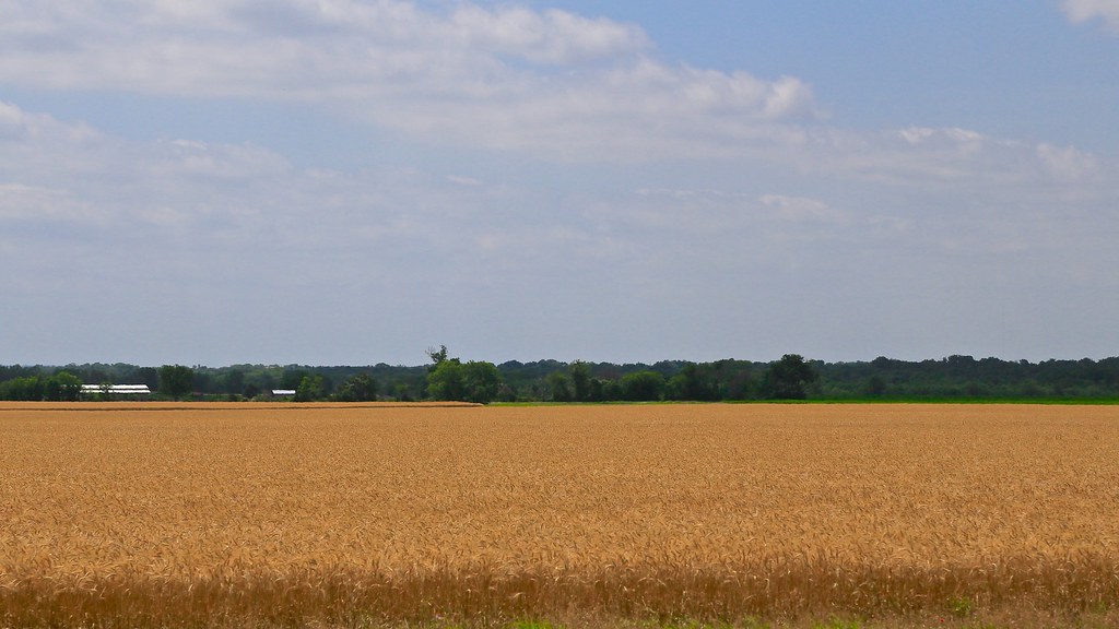
Texas Wheat Field
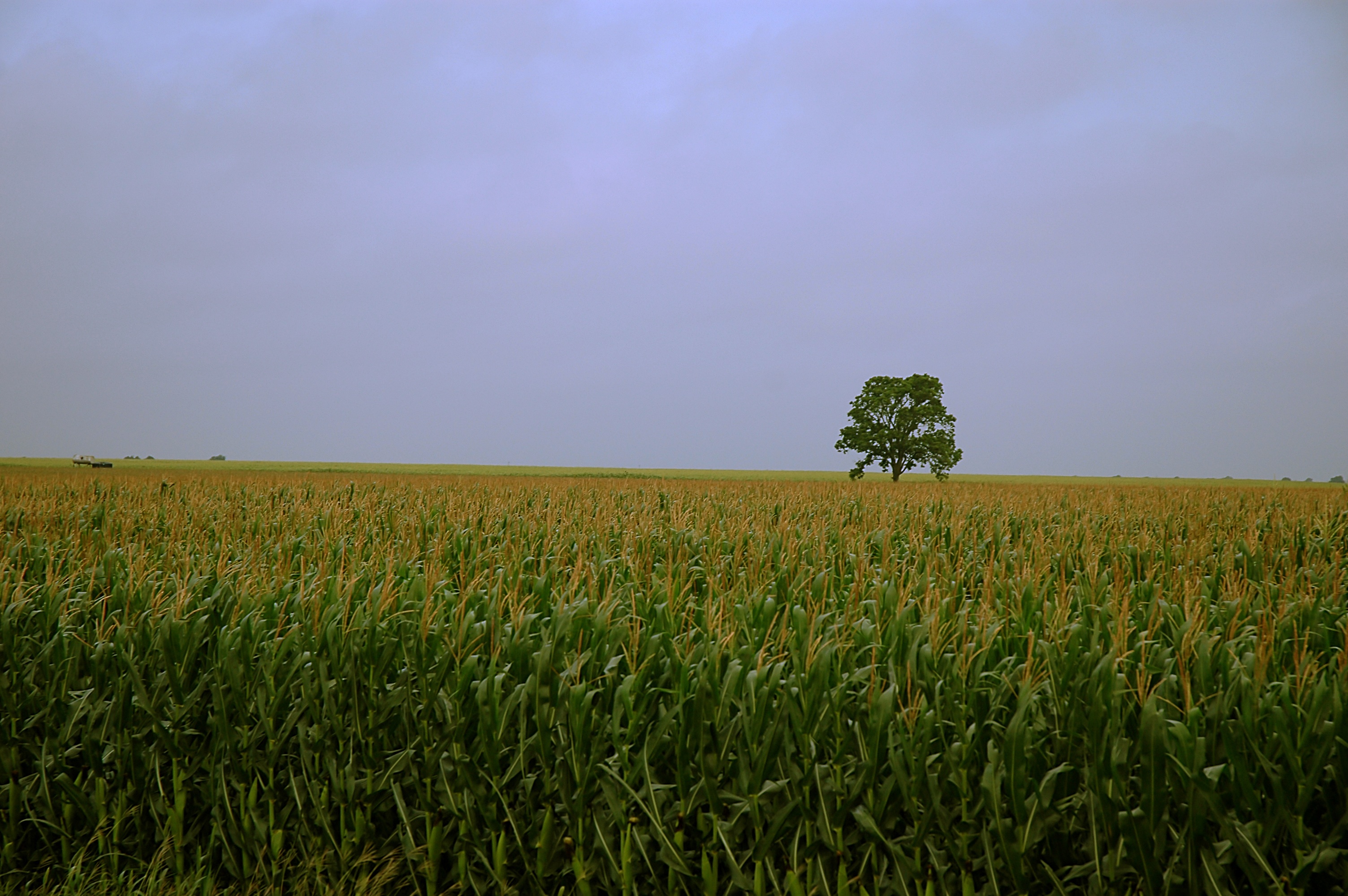
The Lone Tree Among the Corn

Harris Creek Landscape
Topographic Map of N Lone Star Pkwy, Crawford, TX, USA
Find elevation by address:

Places near N Lone Star Pkwy, Crawford, TX, USA:
Crawford
8461 N Lone Star Pkwy
2915 Anderson Ln
Anderson Lane
341 Compton School Rd
Pleasant Run Road
220 Wendt Rd
Cedar Rock Pkwy, Crawford, TX, USA
Ole School Pkwy, McGregor, TX, USA
Mcgregor
8143 Prairie Chapel Rd
Valley Mills
Oglesby
3409 River Oaks Dr
2054 Oak Glen Dr
China Spring
Illinois Ave, China Spring, TX, USA
17025 Ransom Canyon Ct
Speegleville
10345 Fm215
Recent Searches:
- Elevation of Corso Fratelli Cairoli, 35, Macerata MC, Italy
- Elevation of Tallevast Rd, Sarasota, FL, USA
- Elevation of 4th St E, Sonoma, CA, USA
- Elevation of Black Hollow Rd, Pennsdale, PA, USA
- Elevation of Oakland Ave, Williamsport, PA, USA
- Elevation of Pedrógão Grande, Portugal
- Elevation of Klee Dr, Martinsburg, WV, USA
- Elevation of Via Roma, Pieranica CR, Italy
- Elevation of Tavkvetili Mountain, Georgia
- Elevation of Hartfords Bluff Cir, Mt Pleasant, SC, USA