Elevation of Ole School Pkwy, McGregor, TX, USA
Location: United States > Texas > Mclennan County > Mcgregor >
Longitude: -97.351957
Latitude: 31.533335
Elevation: 190m / 623feet
Barometric Pressure: 99KPa
Elevation Map:
Satellite Map:
Related Photos:

Texas Album
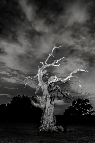
Broken Oak and the Night Sky

Texas Album

Flower Pot man HBM
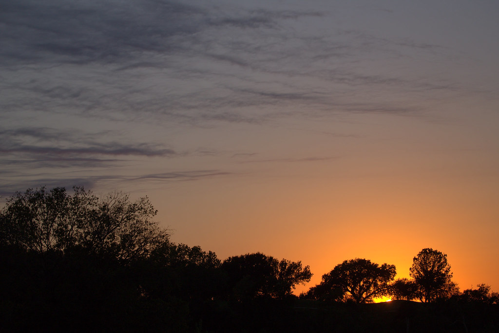
Golden Light

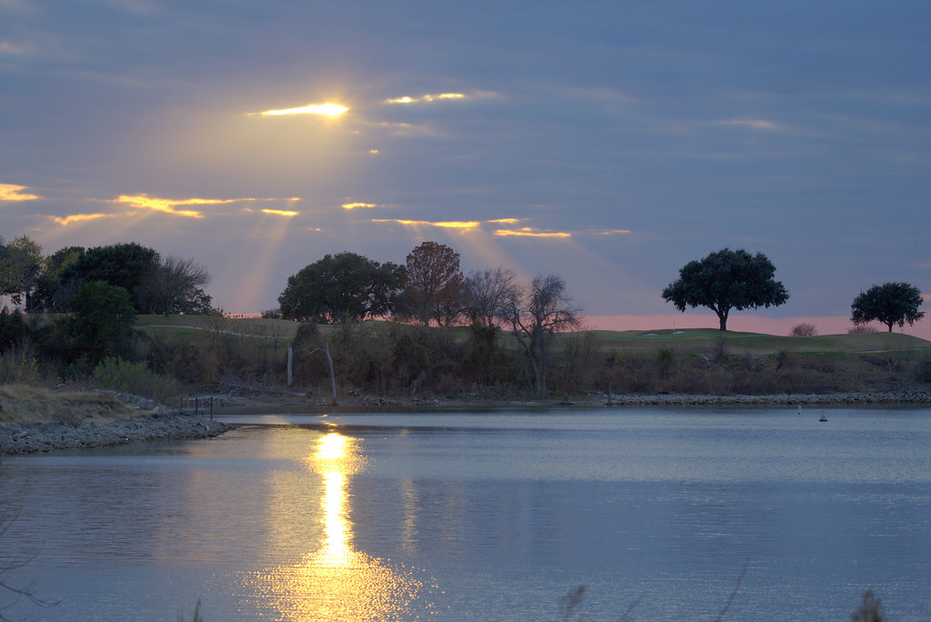
Texas Album Ray of Light

Texas Album

Texas Album

Myrtle Warbler
Texas Album
Snow on the mountian

Love this place...
Texas Album
Texas Album

Black-chinned Hummer

Black-bellied Whistlers

Golden Light

Texas Album

Texas Album
Itchy/Scratchy!
Texas Album

Juniper Hairstreak Photon

Project Flickr, Week 2 - One

Monarch Butterfly
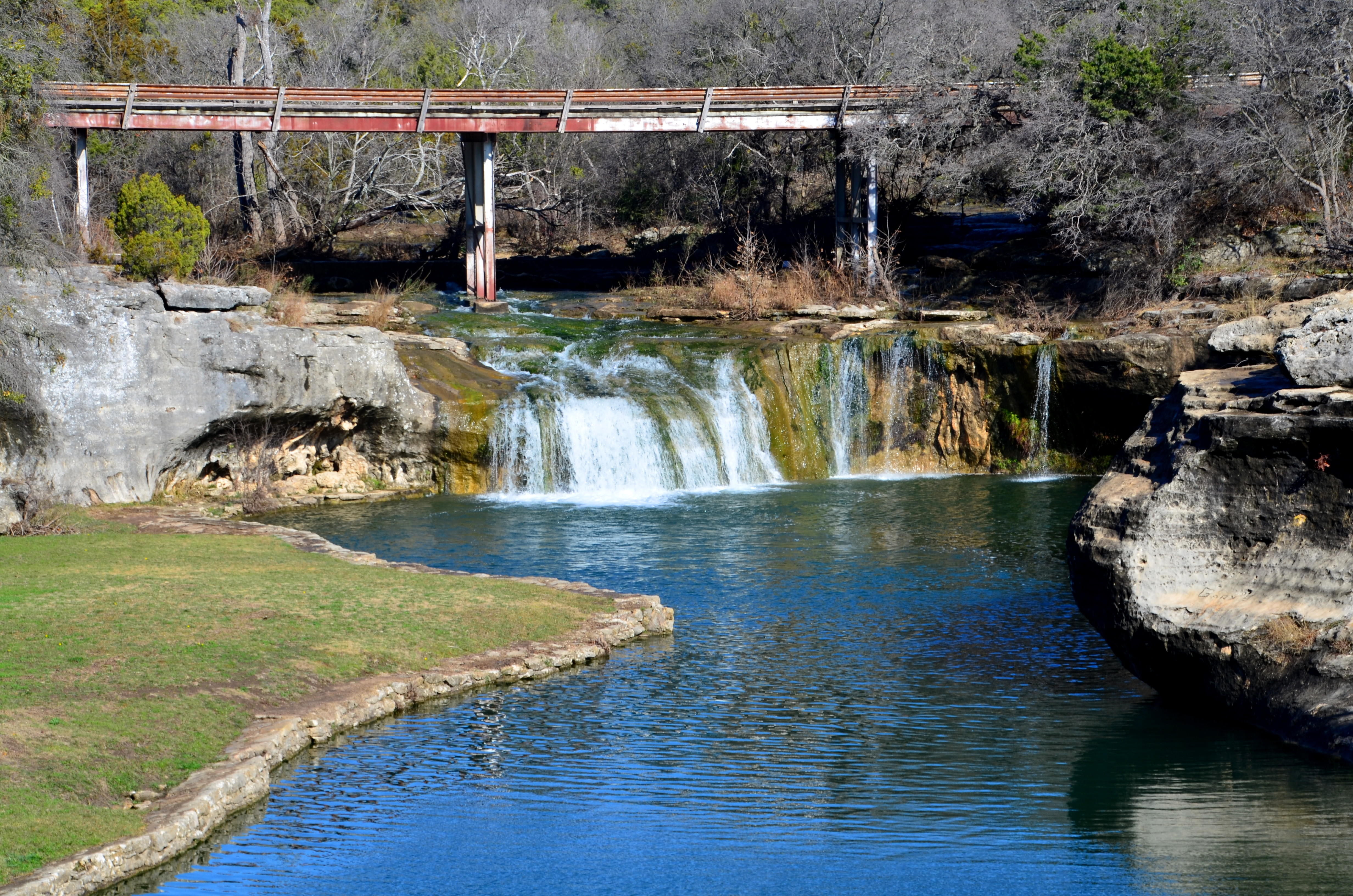
Tonkawa Falls #2

Tonkawa Park Turtle

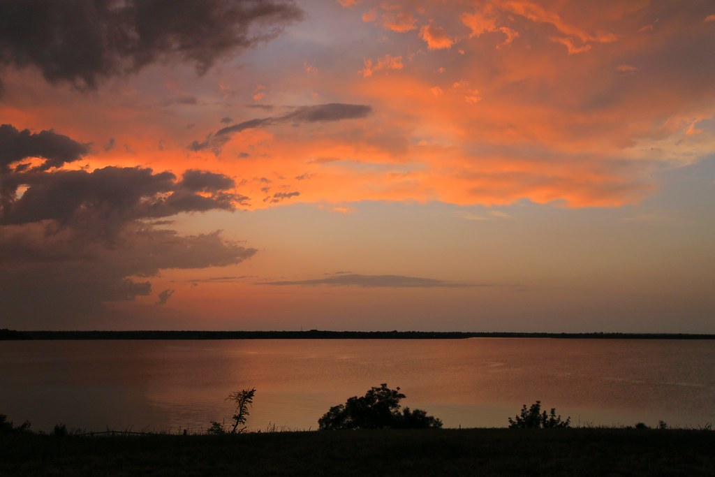
Sunset Lake Waco
YES..ANOTHER SUNSET..NO TWO ARE THE SAME
Looking for Eagles at Lake Waco

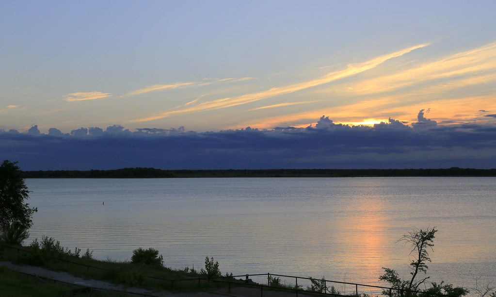
Another Lake Waco sunset.
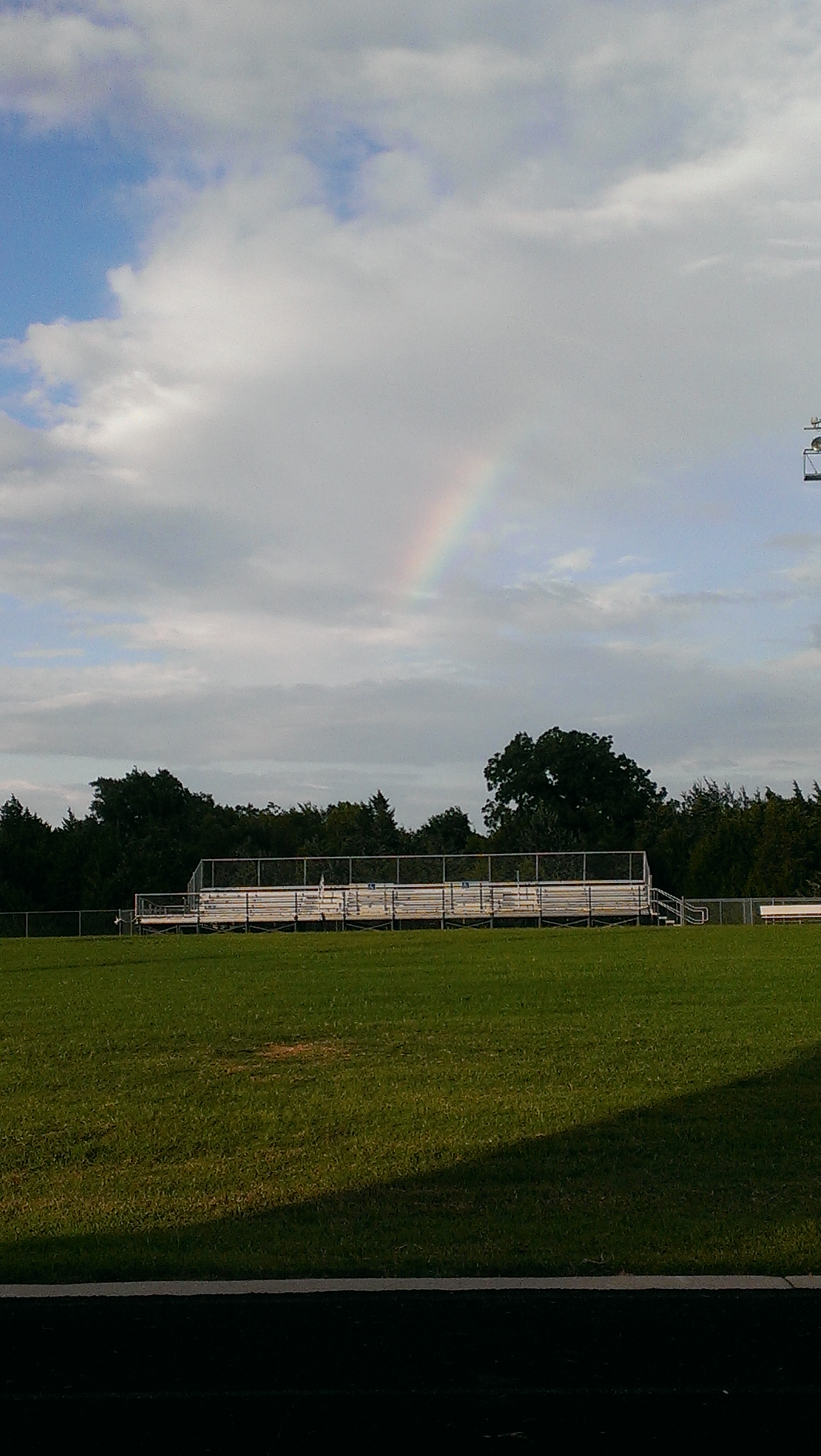
Rainbow on the water.

Tonight's Sunset
August 2013

End of the day
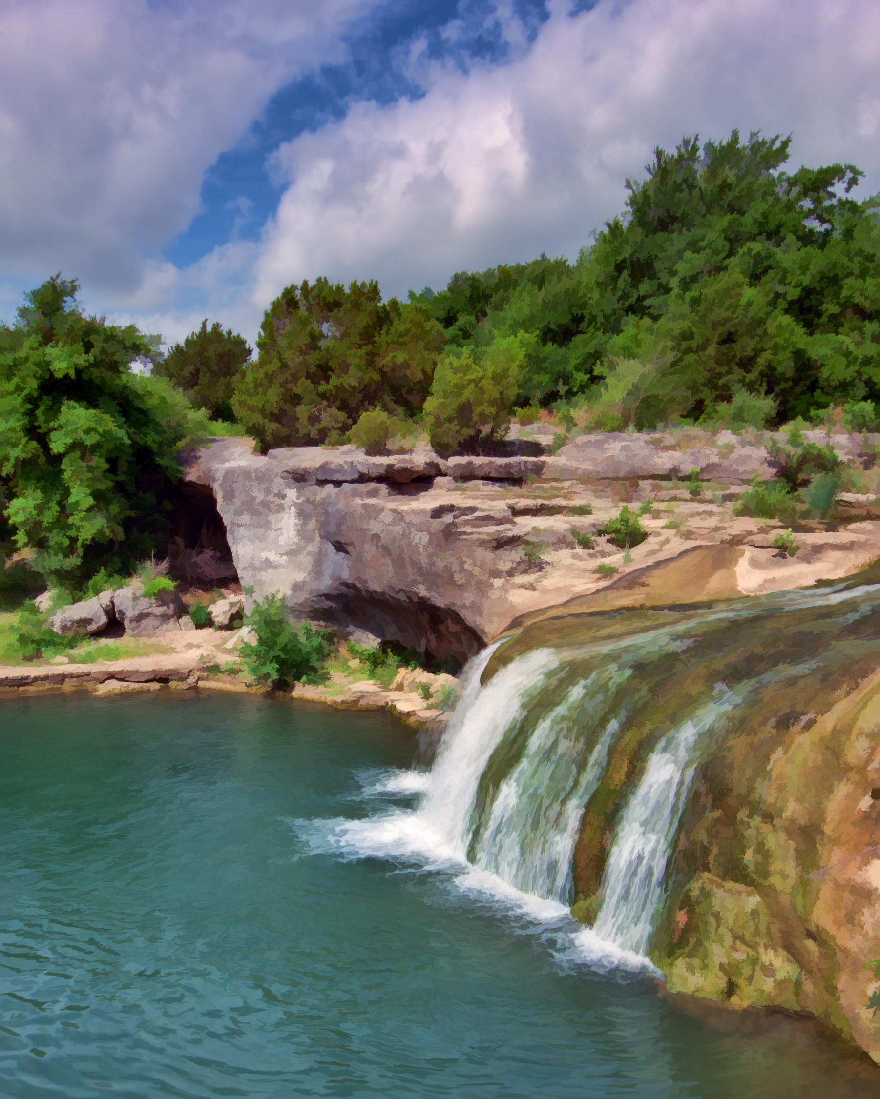
TONKAWA FALLS
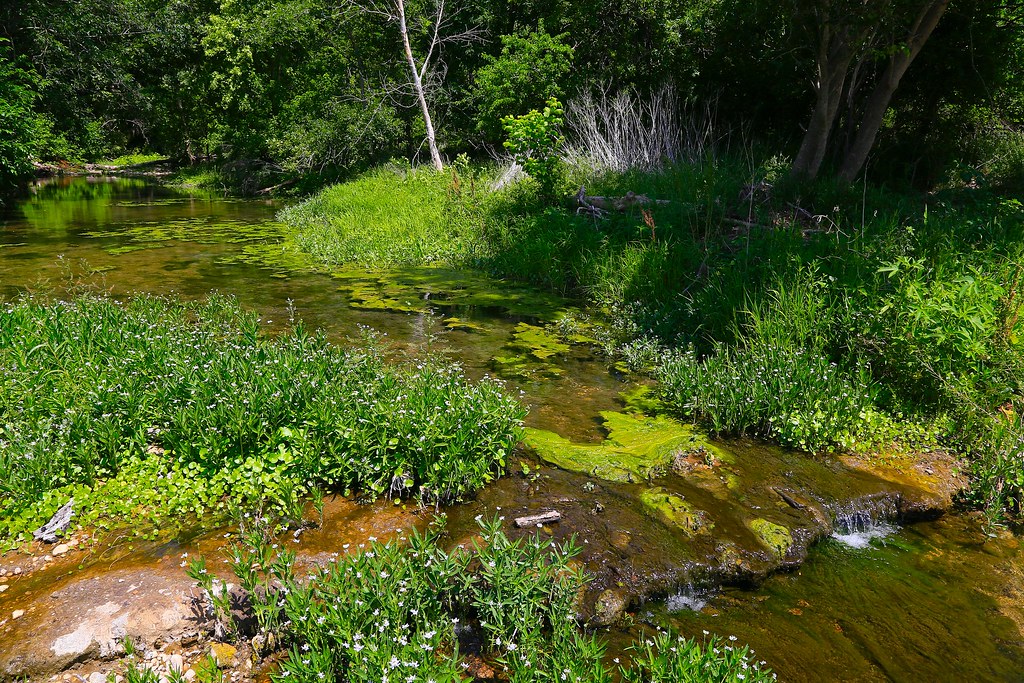
Hog Creek, Ocee, Texas
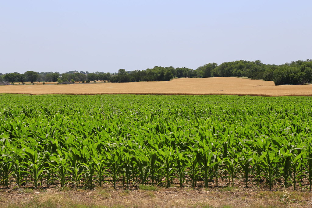
The wheat is ready to harvest.

_MG_0015-001
TONKAWA FALLS PARK, CRAWFORD, TX
Topographic Map of Ole School Pkwy, McGregor, TX, USA
Find elevation by address:

Places near Ole School Pkwy, McGregor, TX, USA:
Cedar Rock Pkwy, Crawford, TX, USA
3409 River Oaks Dr
2054 Oak Glen Dr
Speegleville
17025 Ransom Canyon Ct
5608 Flat Rock Rd
9408 Village Lake Cir
884 White Oak Dr
8809 Oriole Dr
Lake Waco
8801 Oriole Dr
14 Club Estates Ct
5005 Woodway Dr
5005 Woodway Dr
5409 Stillhouse Hollow Dr
1201 Wedgewood Dr
203 Elysian Ln
Chapel View Rd, Waco, TX, USA
Parkdale Viking Hills
Dominic Court
Recent Searches:
- Elevation of Corso Fratelli Cairoli, 35, Macerata MC, Italy
- Elevation of Tallevast Rd, Sarasota, FL, USA
- Elevation of 4th St E, Sonoma, CA, USA
- Elevation of Black Hollow Rd, Pennsdale, PA, USA
- Elevation of Oakland Ave, Williamsport, PA, USA
- Elevation of Pedrógão Grande, Portugal
- Elevation of Klee Dr, Martinsburg, WV, USA
- Elevation of Via Roma, Pieranica CR, Italy
- Elevation of Tavkvetili Mountain, Georgia
- Elevation of Hartfords Bluff Cir, Mt Pleasant, SC, USA