Elevation of Pople River Rd, Argonne, WI, USA
Location: United States > Wisconsin > Forest County > Popple River >
Longitude: -88.681216
Latitude: 45.7909874
Elevation: 463m / 1519feet
Barometric Pressure: 96KPa
Elevation Map:
Satellite Map:
Related Photos:

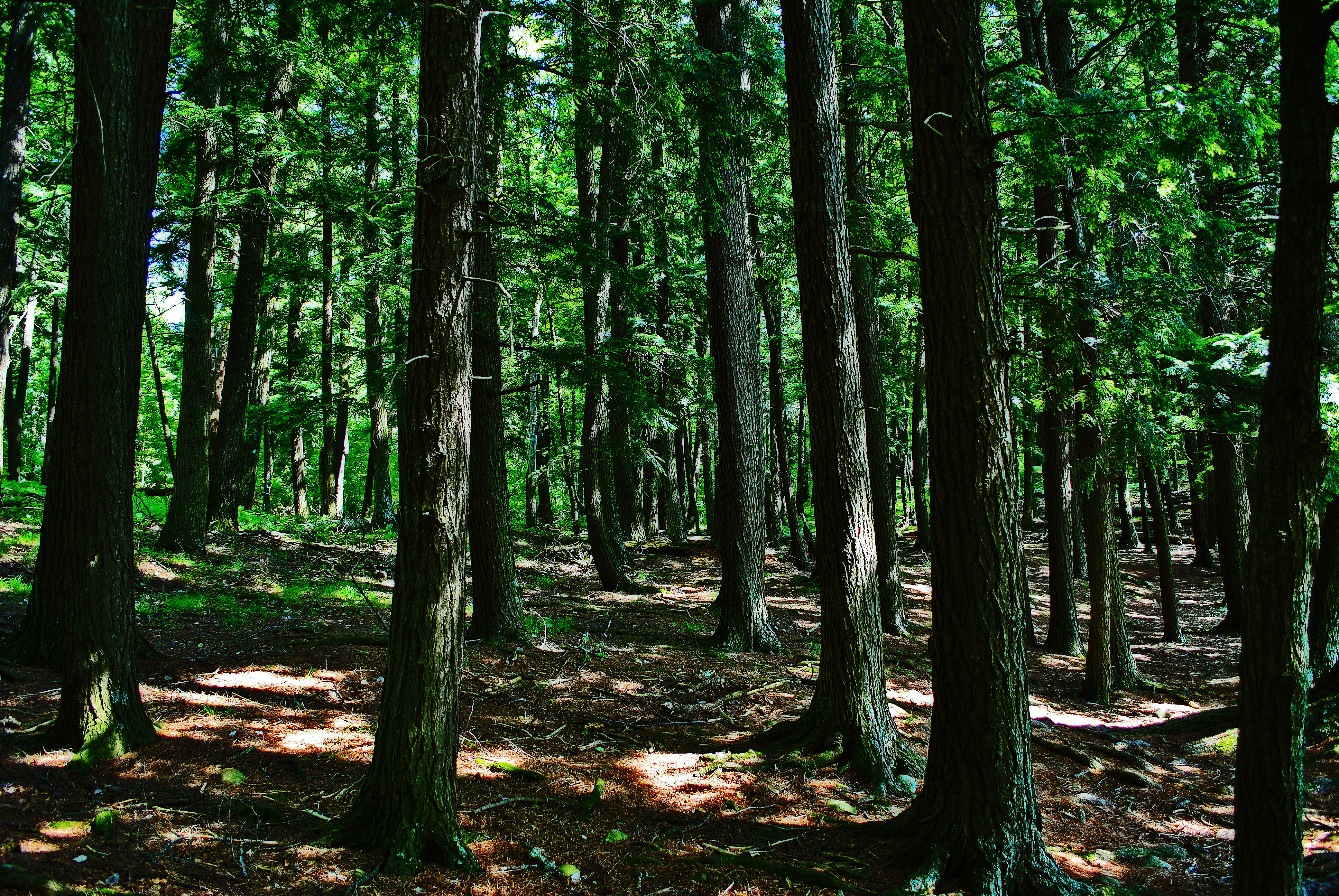
WIPW - VII The Woods Are Full Of Surprises

Battered, But Not Broken
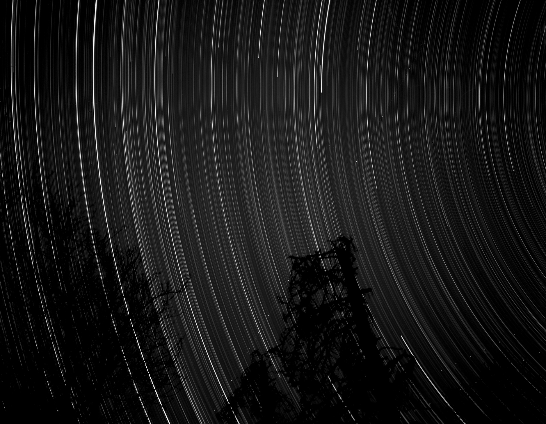
star trails

NBNR....dismissed.
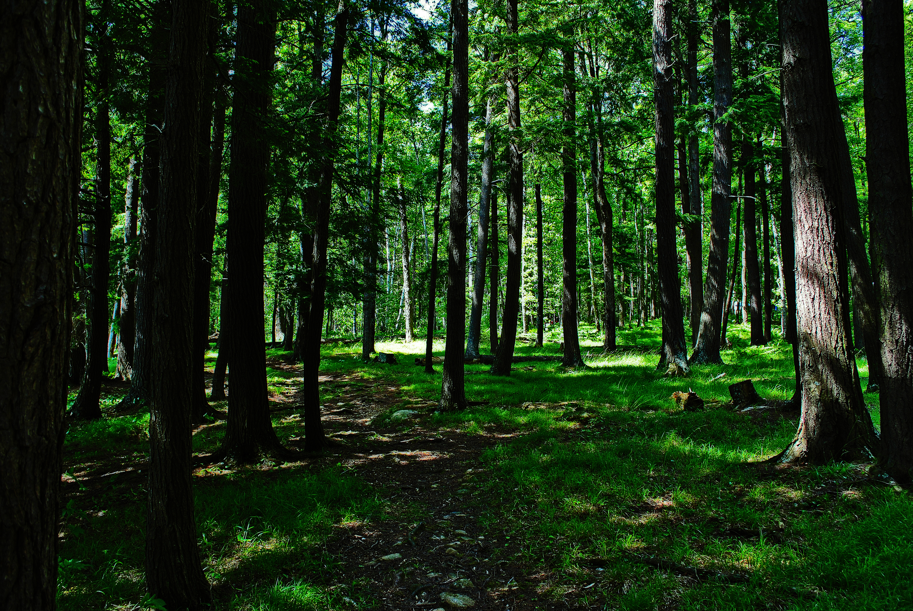
Assessor's Trail
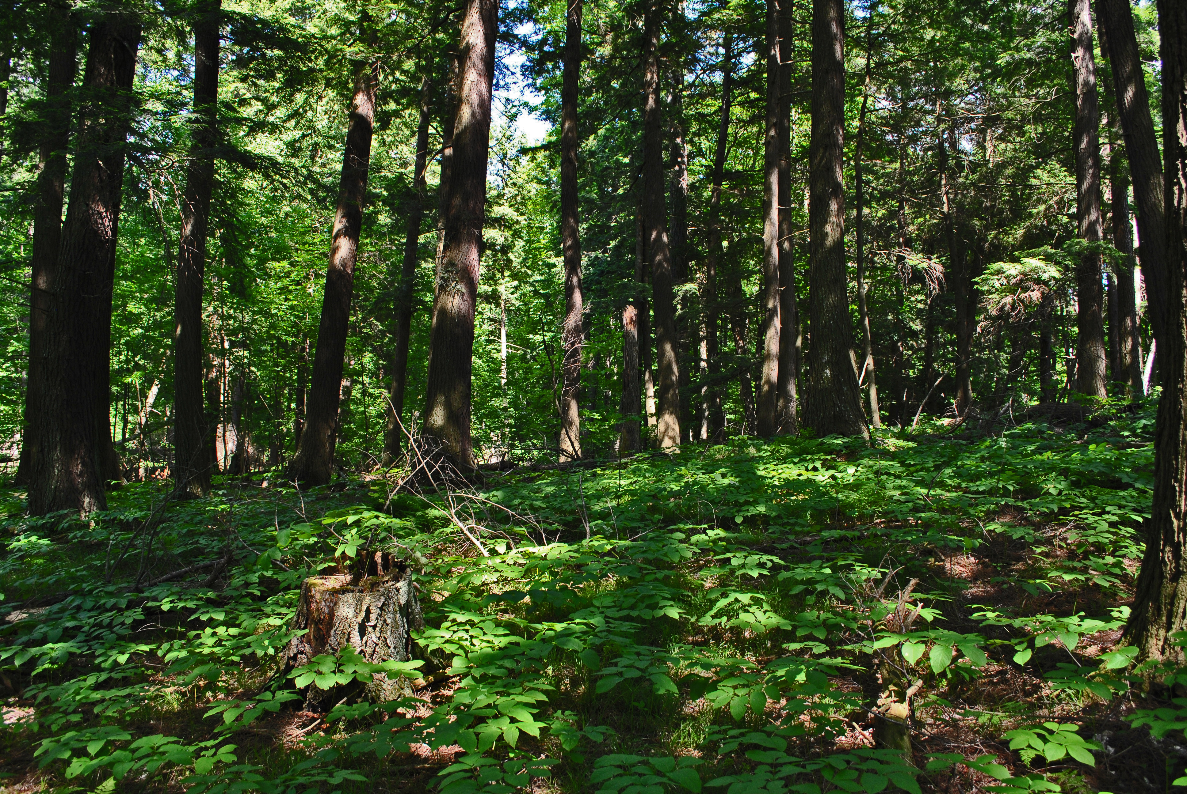
Assessor's Trail
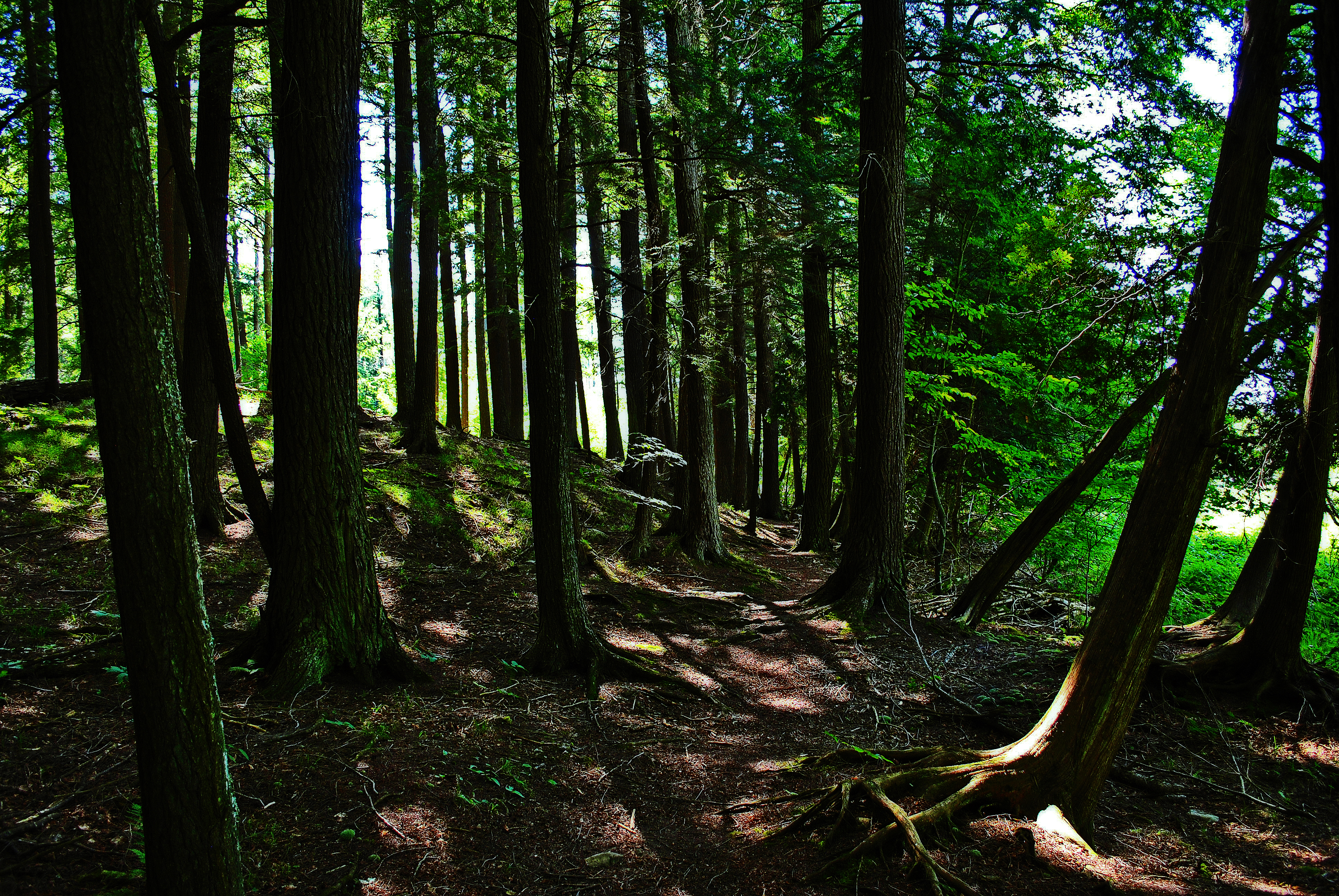
Assessor's Trail

December Sunrise
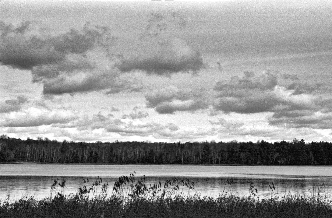
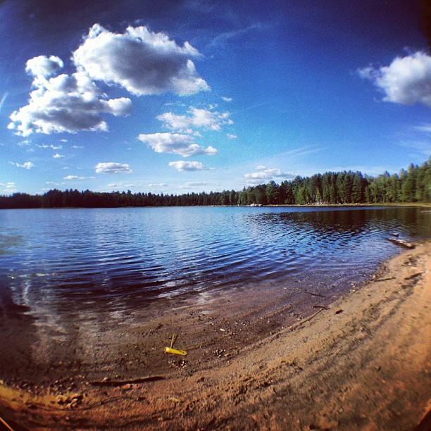
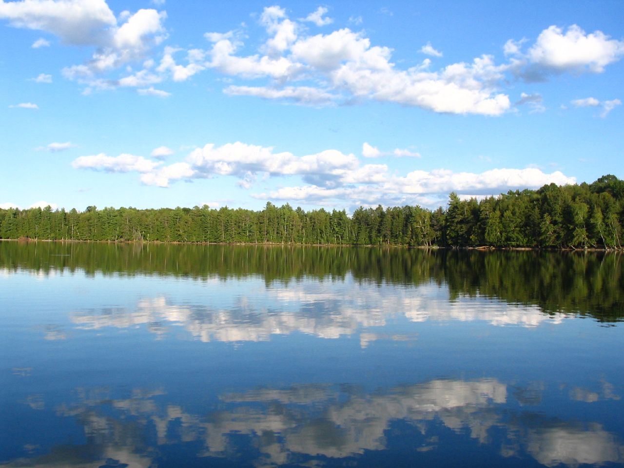
Lost Lake

Root Flow
first night camping spot
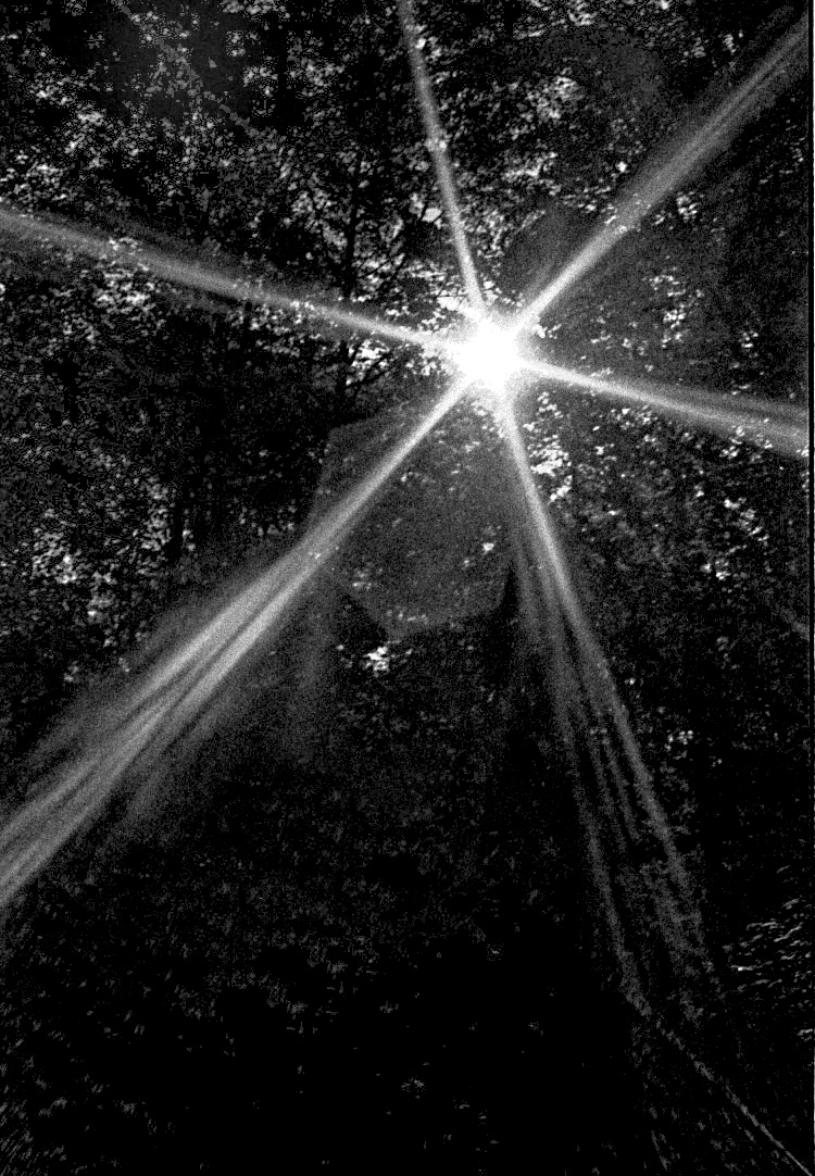
God Rays

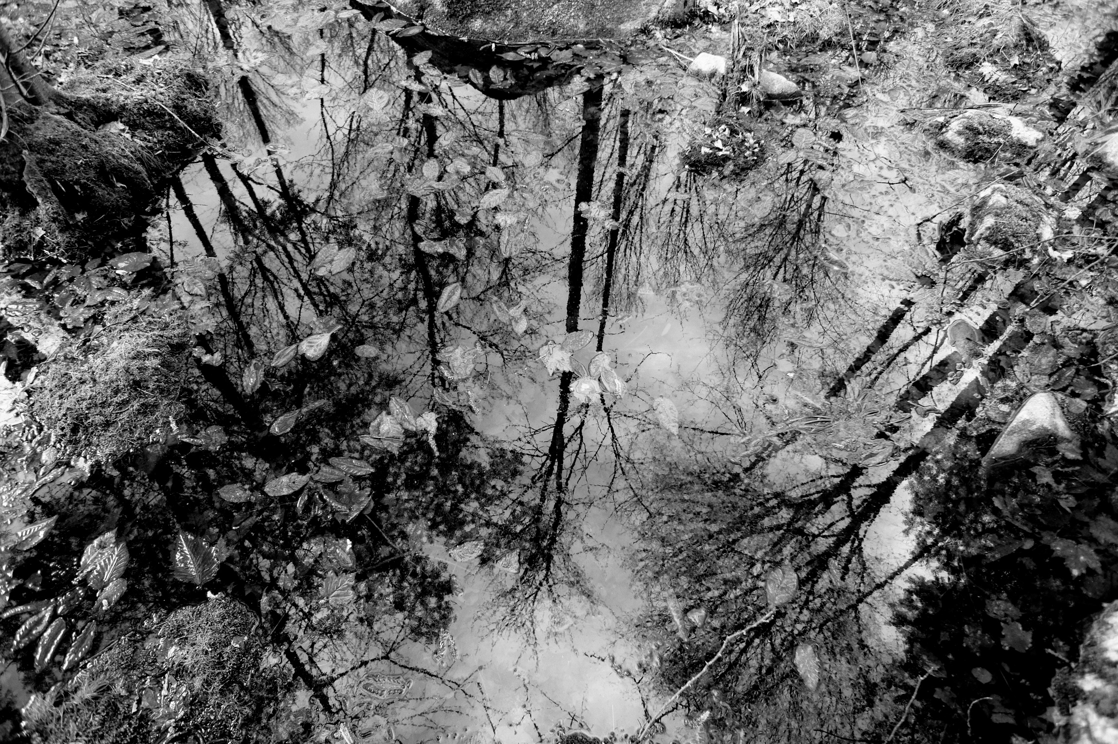
Flooded Woods in Monochrome
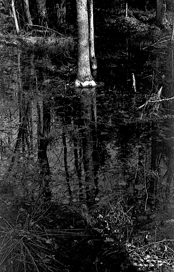
Vernal Pond in BW
Hemlock around Lost Lake
A bad day fishing is better then a good day at work.
Flooded Timber
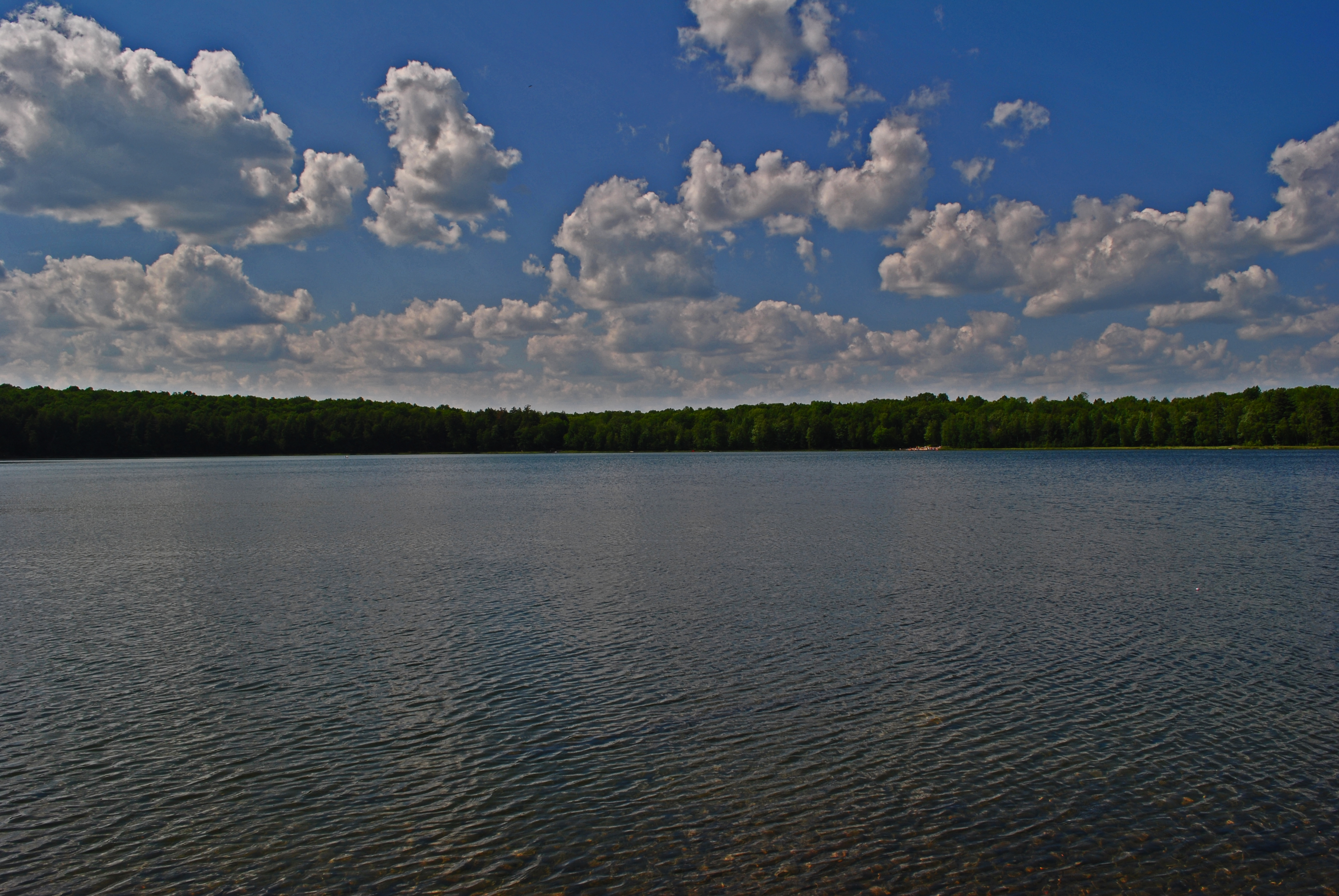
Lost Lake
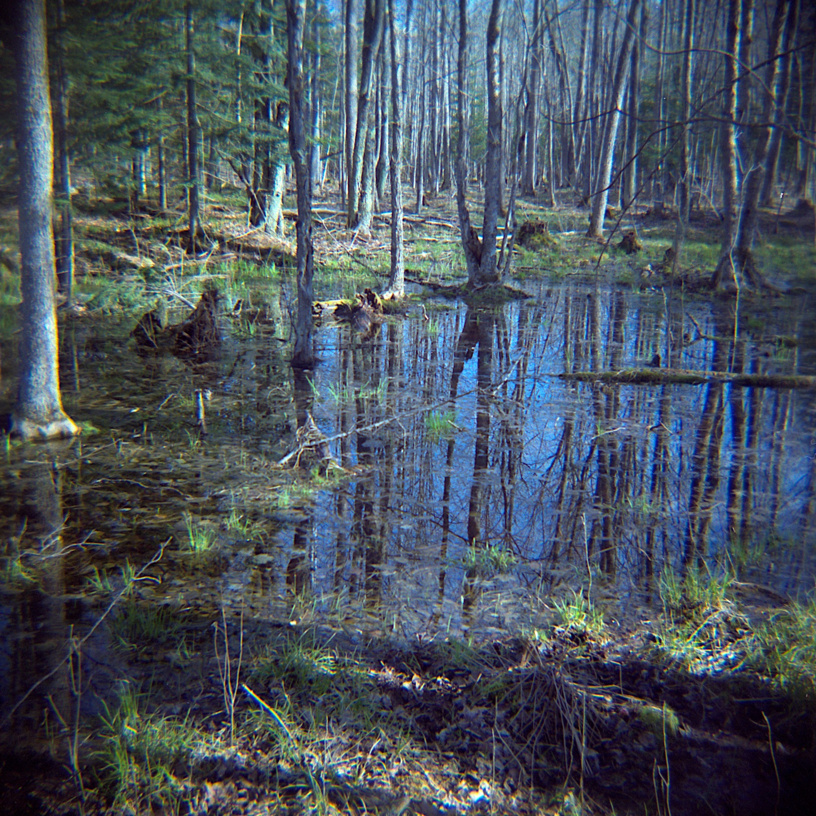
vernal pond reflected

Woodland Refections
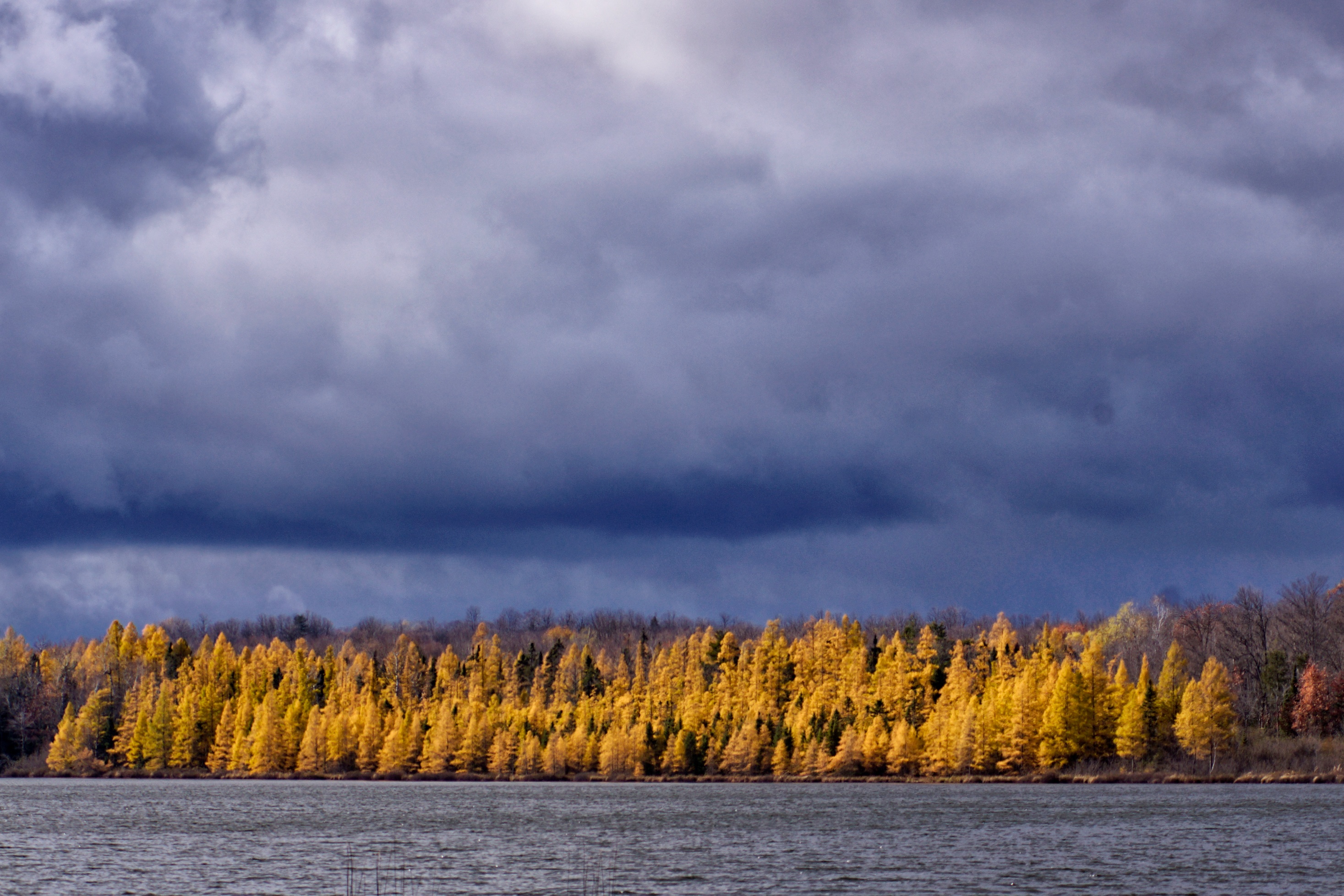
Halsey Lake Tamaracks
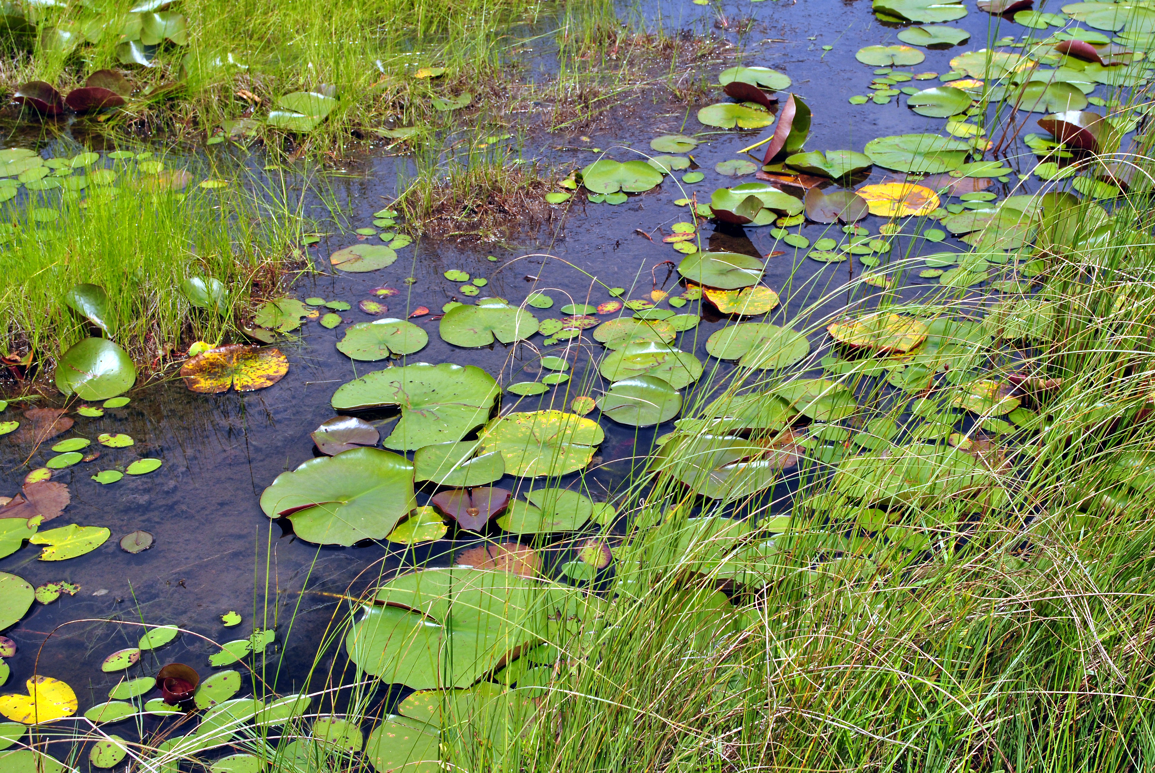
Grandma Lake Wetlands State Natural Area
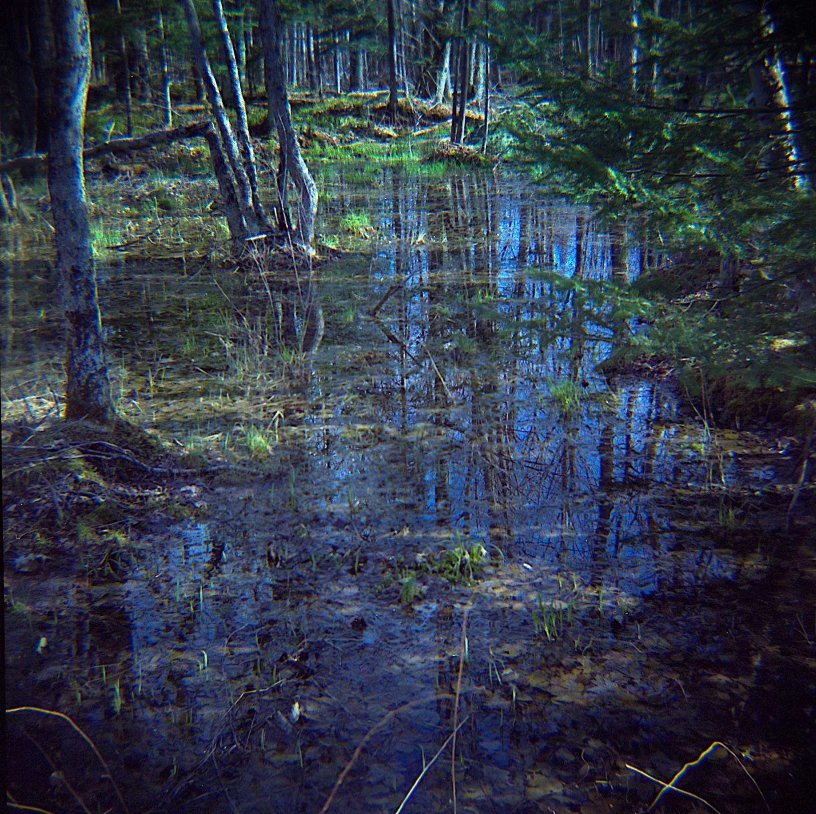
flooded wood
Lost Lake

Nicolet National Forest in autumn 5
Topographic Map of Pople River Rd, Argonne, WI, USA
Find elevation by address:

Places near Pople River Rd, Argonne, WI, USA:
5396 Long Lake Rd
Popple River
13990 Gilligan Ln
Forest County
Laona, WI, USA
Laona
Selden Rd, Iron River, MI, USA
Chief Wabeka Dr, Wabeno, WI, USA
Wilson Ave, Iron River, MI, USA
Trump Lake Rd, Wabeno, WI, USA
Crandon
Wabeno
267 Gendron Rd
267 Gendron Rd
Basswood Rd, Iron River, MI, USA
Three Lakes
Gibbs City
Gibbs City Road
Washington
Stambaugh Township
Recent Searches:
- Elevation of Corso Fratelli Cairoli, 35, Macerata MC, Italy
- Elevation of Tallevast Rd, Sarasota, FL, USA
- Elevation of 4th St E, Sonoma, CA, USA
- Elevation of Black Hollow Rd, Pennsdale, PA, USA
- Elevation of Oakland Ave, Williamsport, PA, USA
- Elevation of Pedrógão Grande, Portugal
- Elevation of Klee Dr, Martinsburg, WV, USA
- Elevation of Via Roma, Pieranica CR, Italy
- Elevation of Tavkvetili Mountain, Georgia
- Elevation of Hartfords Bluff Cir, Mt Pleasant, SC, USA