Elevation of Stambaugh Township, MI, USA
Location: United States > Michigan > Iron County >
Longitude: -88.937108
Latitude: 46.1659756
Elevation: 541m / 1775feet
Barometric Pressure: 95KPa
Elevation Map:
Satellite Map:
Related Photos:

autumn reflections...

on the way home...

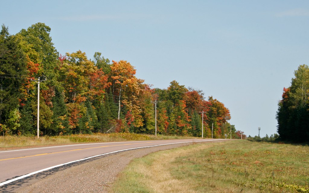
maple ridge

Evening Glow

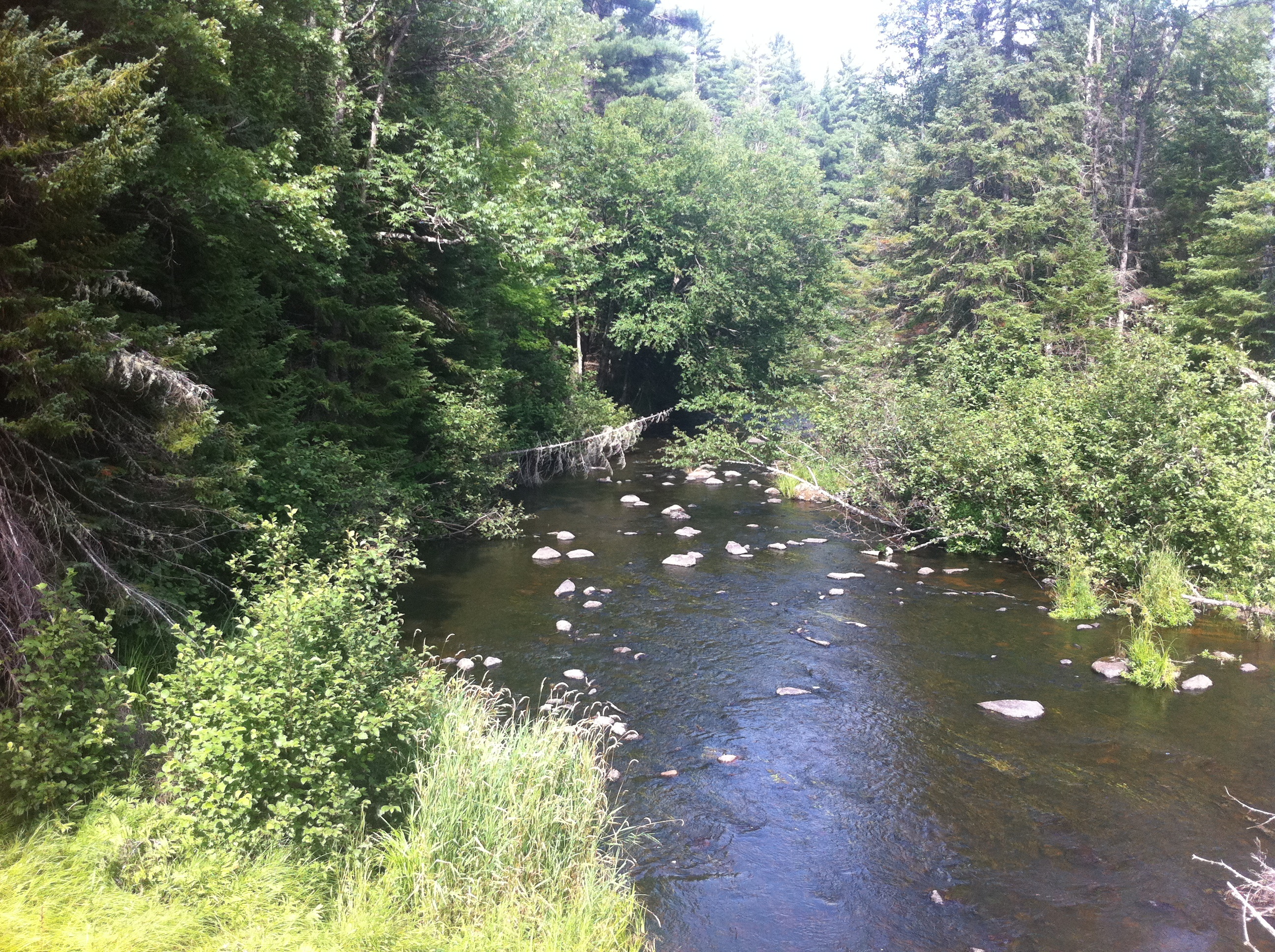
Meandering River

Fisherman on Big Sand Lake
Fall Trip

JUST SOLD - Lac Lieux Desert Lake Home

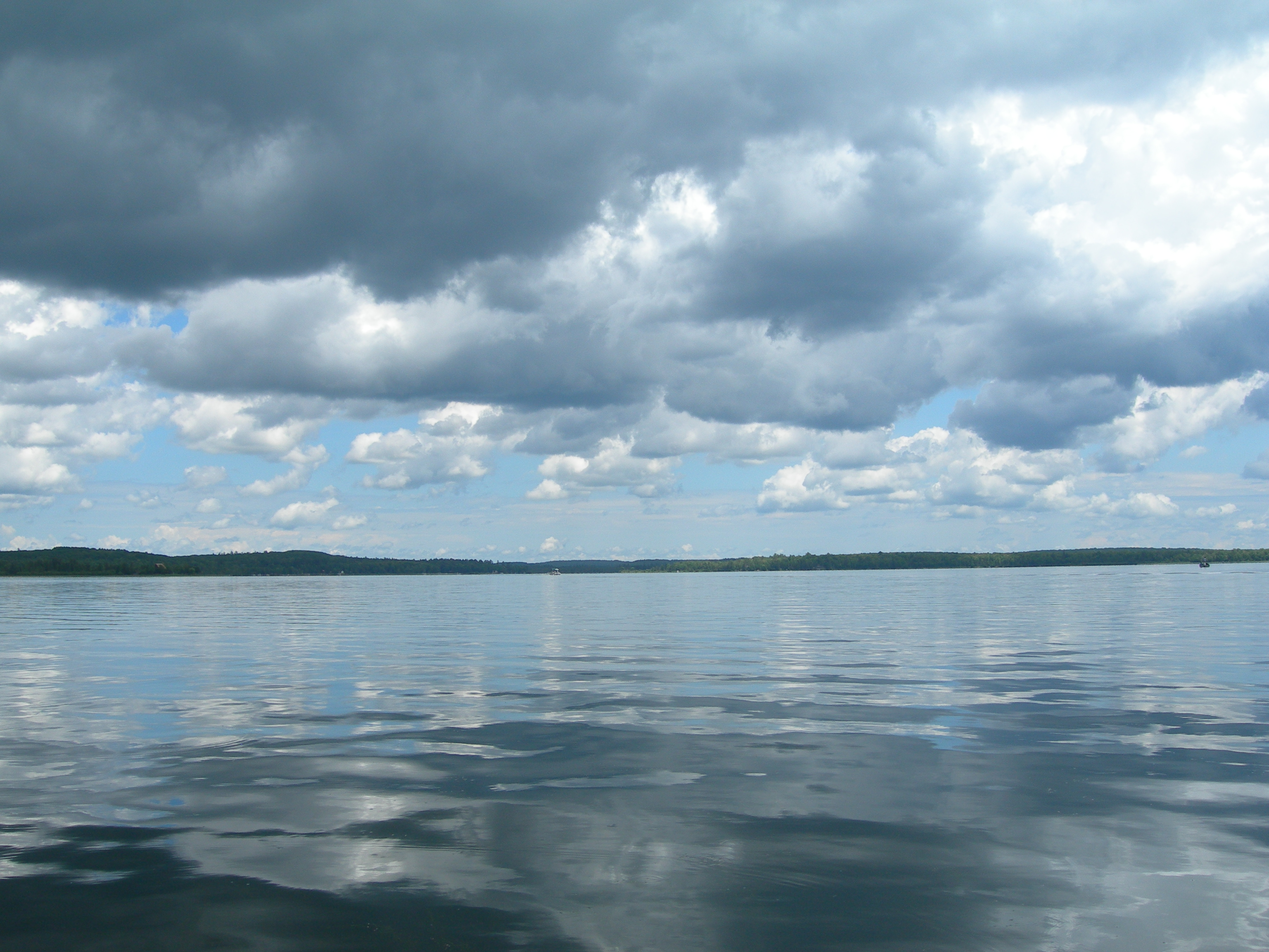
Still Waters

Sunset on the dock in Phelps, Wisconsin

The boys bringing the boat back at sunset. #longlake #Wisconsin #lake #davishomebase #chriscraft
Lac Viex Desert, Vilas Co, WI

Sunset on the dock in Phelps, Wisconsin

Eagle River 2011 - 031
Eagle River 2011 - 030
Topographic Map of Stambaugh Township, MI, USA
Find elevation by address:

Places in Stambaugh Township, MI, USA:
Places near Stambaugh Township, MI, USA:
Toots Lake
Basswood Rd, Iron River, MI, USA
Phelps
Iron River Township
Phelps
Hill Rd, Phelps, WI, USA
Gibbs City Road
Sunrise Lodge
3391 Crystal Springs Ln
Old Military Road
Gibbs City
Watersmeet
N4720
267 Gendron Rd
267 Gendron Rd
5799 Us-45
5799 Us-45
5799 Us-45
East Duck Lake Road
Land O' Lakes
Recent Searches:
- Elevation of Corso Fratelli Cairoli, 35, Macerata MC, Italy
- Elevation of Tallevast Rd, Sarasota, FL, USA
- Elevation of 4th St E, Sonoma, CA, USA
- Elevation of Black Hollow Rd, Pennsdale, PA, USA
- Elevation of Oakland Ave, Williamsport, PA, USA
- Elevation of Pedrógão Grande, Portugal
- Elevation of Klee Dr, Martinsburg, WV, USA
- Elevation of Via Roma, Pieranica CR, Italy
- Elevation of Tavkvetili Mountain, Georgia
- Elevation of Hartfords Bluff Cir, Mt Pleasant, SC, USA