Elevation of Hill Rd, Phelps, WI, USA
Location: United States > Wisconsin > Vilas County > Phelps > Phelps >
Longitude: -89.087699
Latitude: 46.064467
Elevation: 528m / 1732feet
Barometric Pressure: 95KPa
Elevation Map:
Satellite Map:
Related Photos:

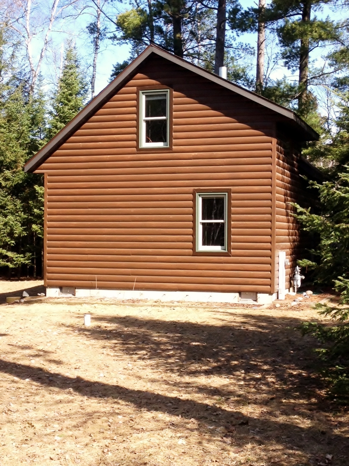
Main View
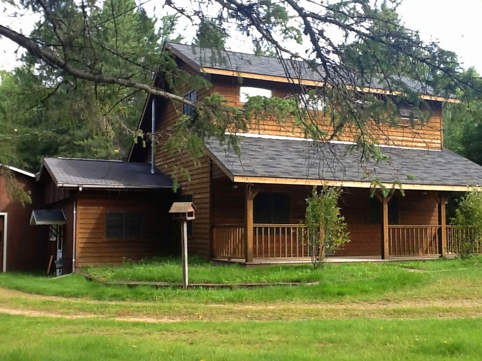
Side View
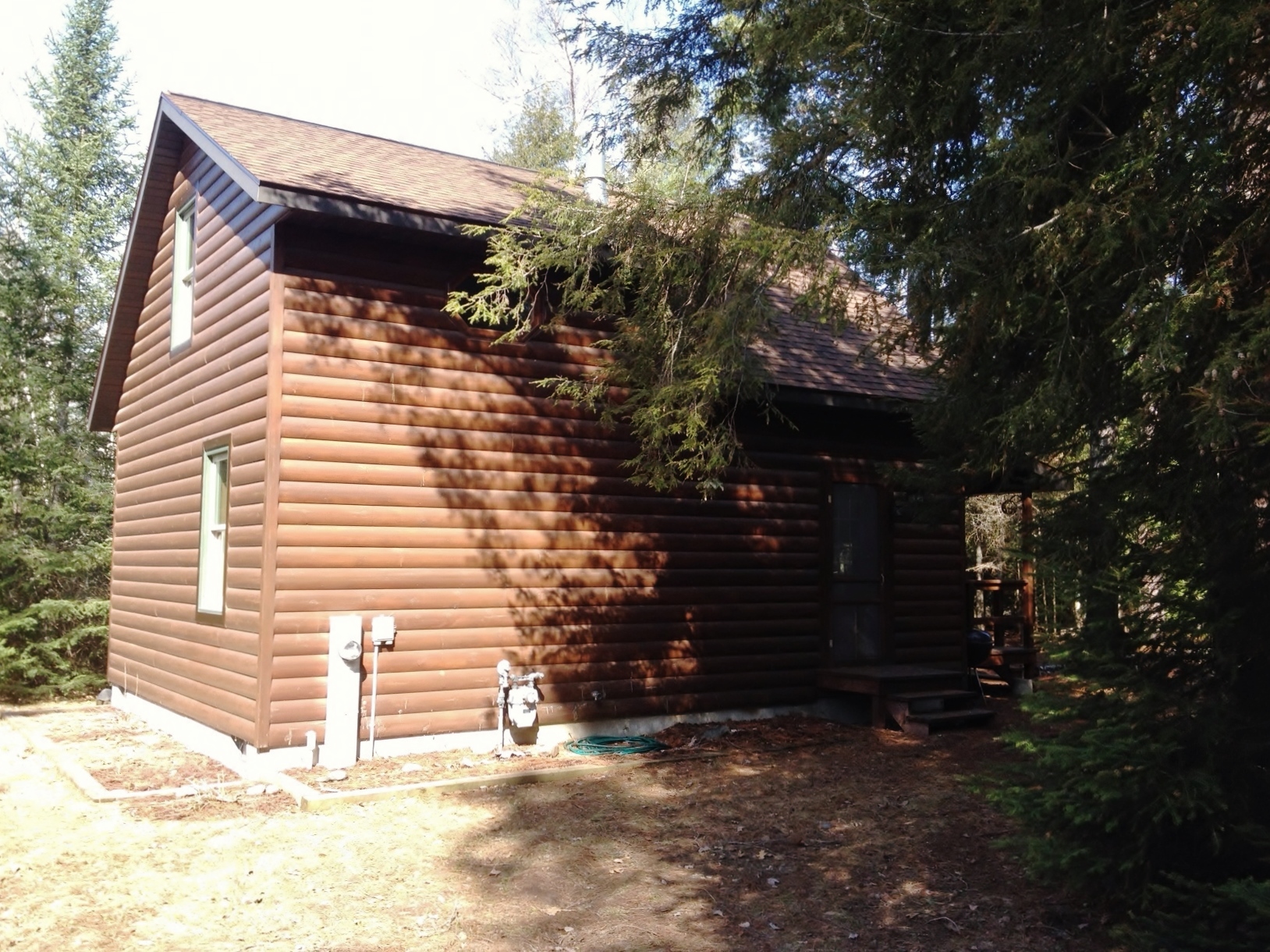
Exterior View
Back View

- >

Snowshoeing with the family

Reflecting on Lilies

Still Water

Autumn Grass

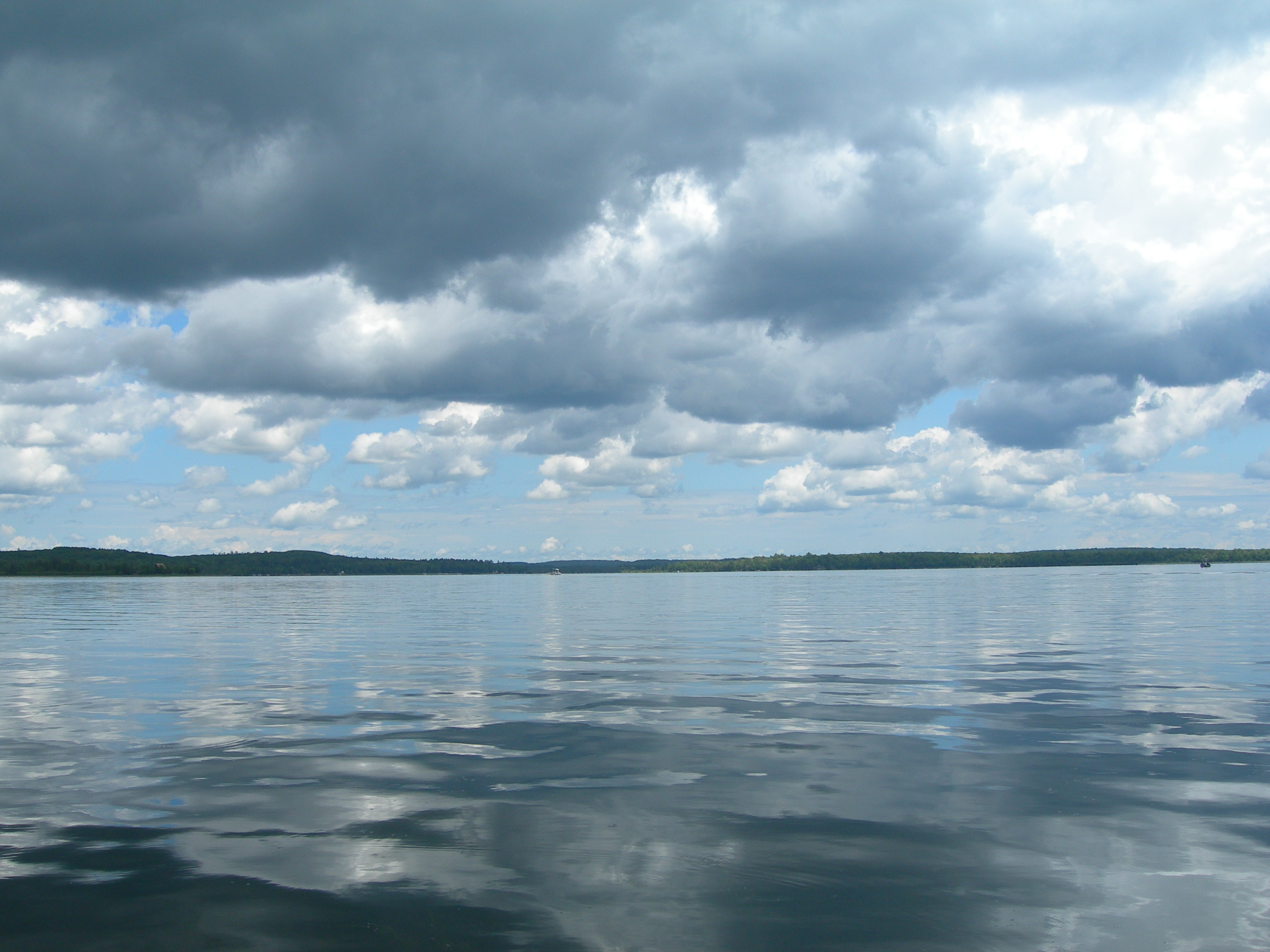
Gloomy Skies

JUST SOLD - Lac Lieux Desert Lake Home

Color Through the Grass

Even More Fall Colors

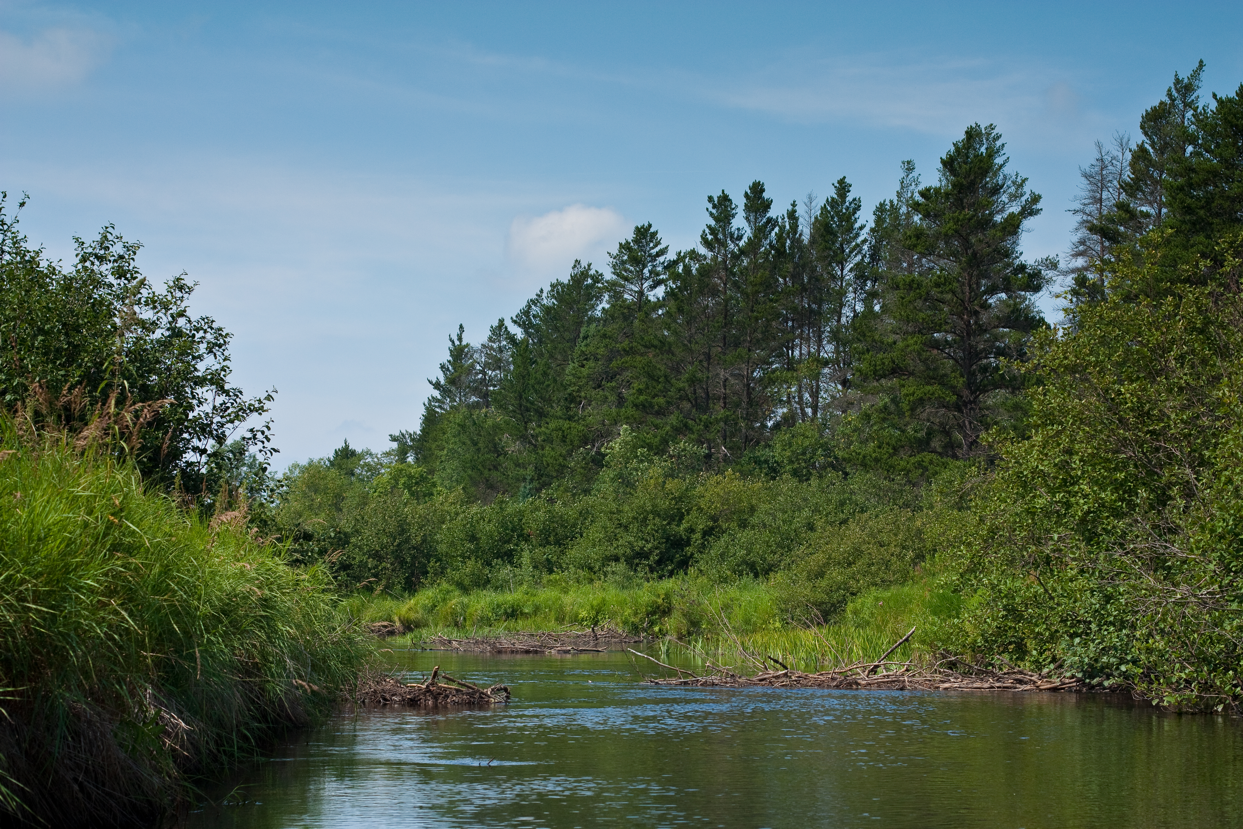
Beaver Dam Ahead

Fisherman on Big Sand Lake

More Dead Fall

Canoeing the Wisconsin River

Winter Wonderland

Water level is high on the Deerskin River

Canoeing the Wisconsin River

Sunset on the dock in Phelps, Wisconsin

Franklin & Butternut Lakes State Natural Area

Anvil Lake, Vilas Co, WI
Canoeing the Wisconsin River

Headwaters of the Wisconsin River
Lac Viex Desert, Vilas Co, WI
Topographic Map of Hill Rd, Phelps, WI, USA
Find elevation by address:

Places near Hill Rd, Phelps, WI, USA:
Phelps
Phelps
Sunrise Lodge
3391 Crystal Springs Ln
Washington
5799 Us-45
5799 Us-45
5799 Us-45
1739 W Bass Lake Rd
Old Military Road
Land O' Lakes
S Little Bass Lake Rd, Eagle River, WI, USA
East Duck Lake Road
Stambaugh Township
4499 Chain O Lakes Rd
Tyson Rd, Eagle River, WI, USA
Eagle River, WI, USA
Eagle River
4387 Cth S
Watersmeet
Recent Searches:
- Elevation of Corso Fratelli Cairoli, 35, Macerata MC, Italy
- Elevation of Tallevast Rd, Sarasota, FL, USA
- Elevation of 4th St E, Sonoma, CA, USA
- Elevation of Black Hollow Rd, Pennsdale, PA, USA
- Elevation of Oakland Ave, Williamsport, PA, USA
- Elevation of Pedrógão Grande, Portugal
- Elevation of Klee Dr, Martinsburg, WV, USA
- Elevation of Via Roma, Pieranica CR, Italy
- Elevation of Tavkvetili Mountain, Georgia
- Elevation of Hartfords Bluff Cir, Mt Pleasant, SC, USA