Elevation of Chief Wabeka Dr, Wabeno, WI, USA
Location: United States > Wisconsin > Forest County > Wabeno > Wabeno >
Longitude: -88.609993
Latitude: 45.5051594
Elevation: 489m / 1604feet
Barometric Pressure: 96KPa
Elevation Map:
Satellite Map:
Related Photos:

World Largest Soup Kettle
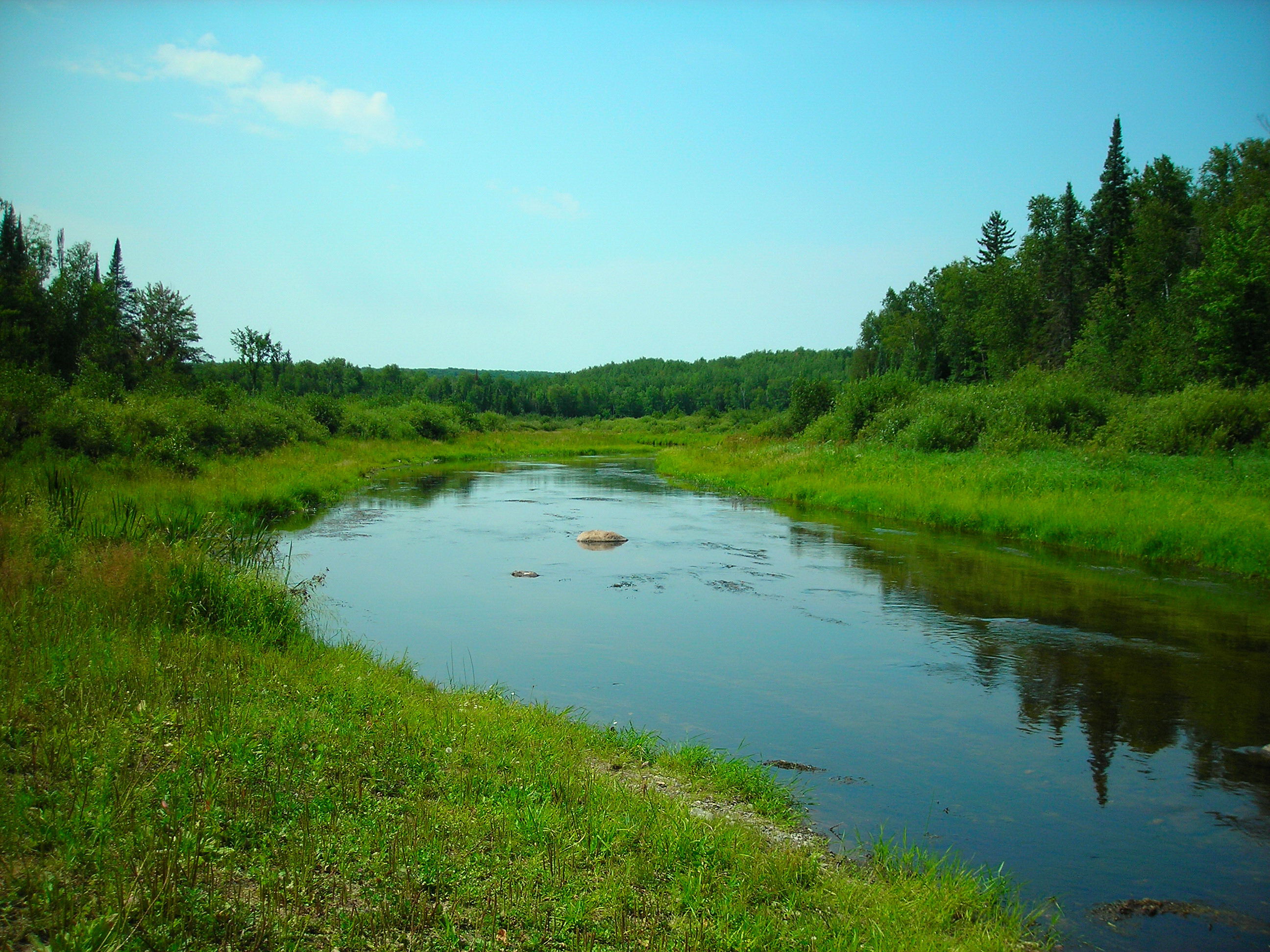
River View
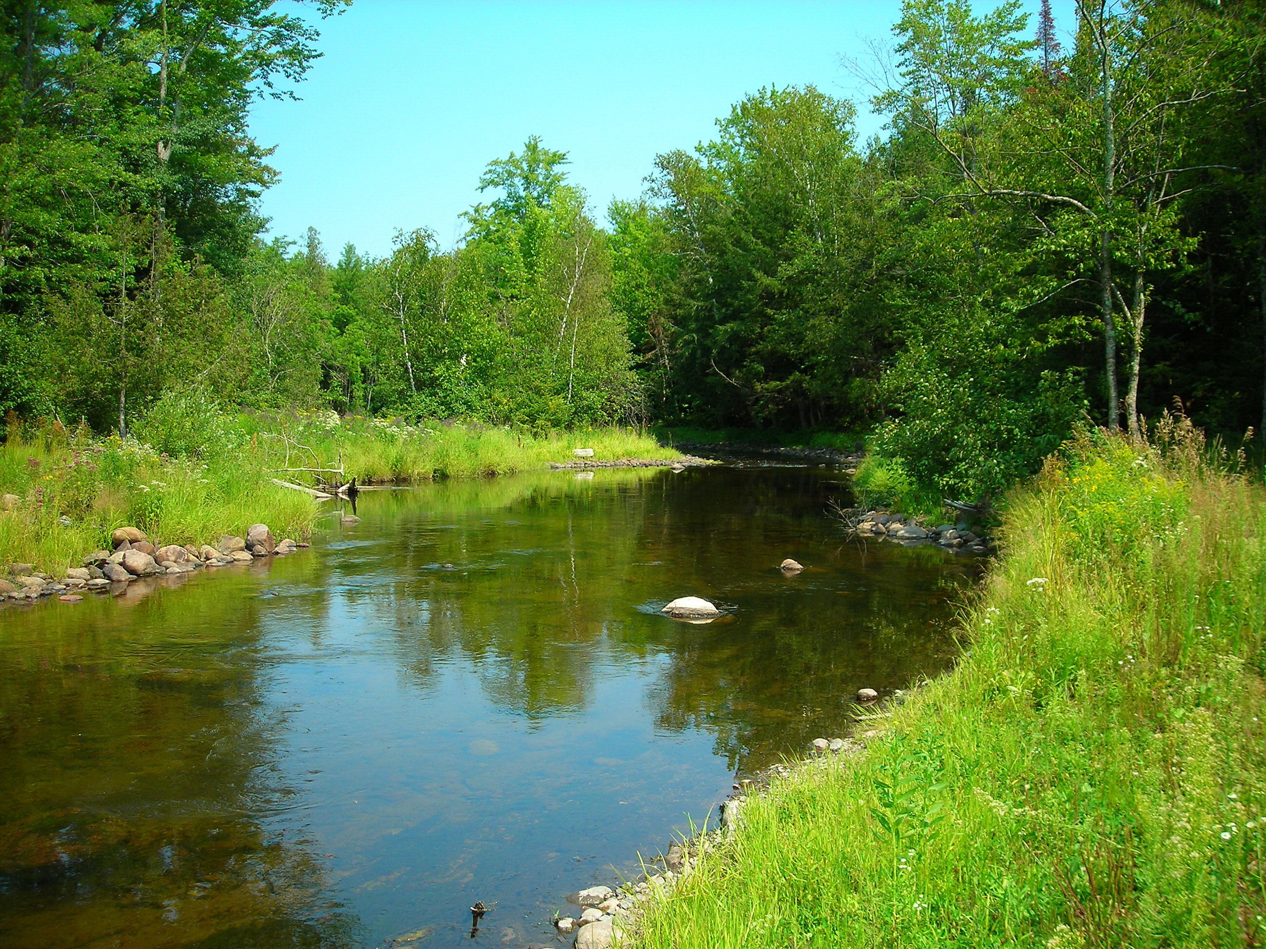
River View

front view
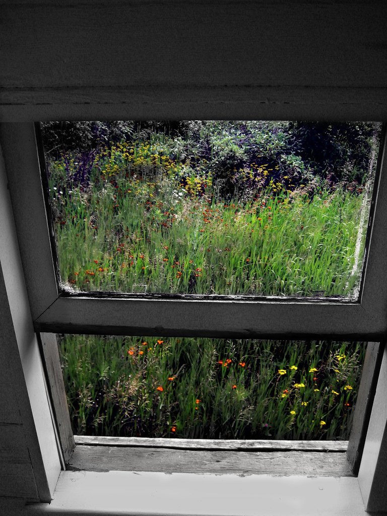
Caboose Window

bear lake

bear lake
bear lake sunrise

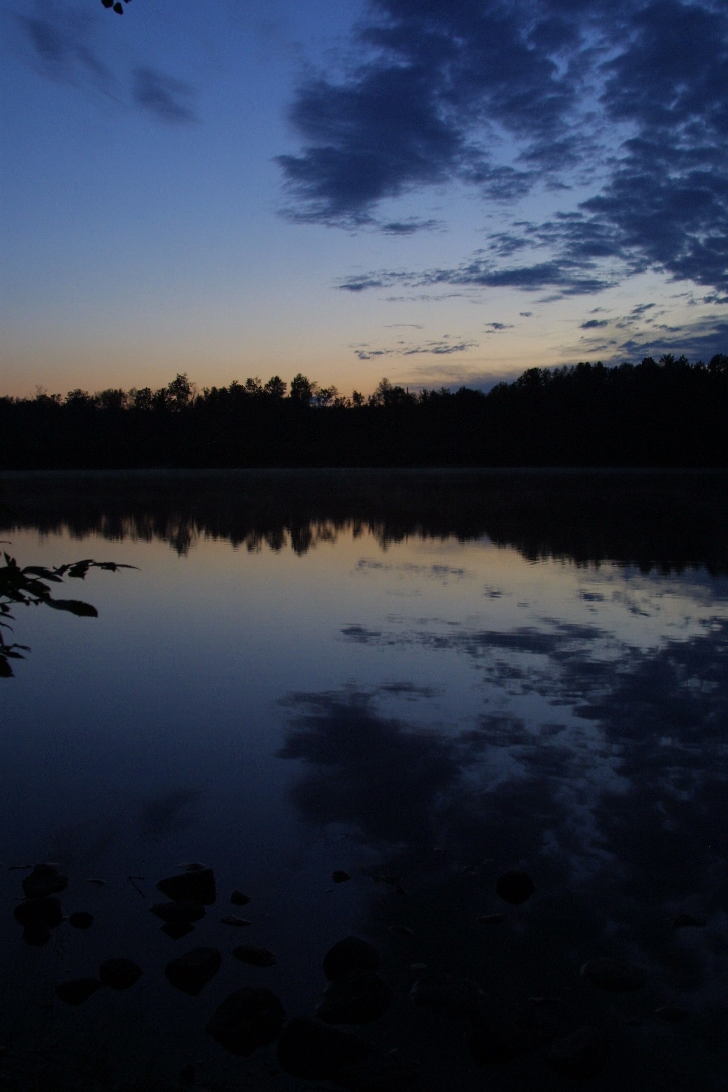
Sunset at Silver Lake

06-24-2011 Ride - Nicolet National Forest (Peshtigo Rv)
Topographic Map of Chief Wabeka Dr, Wabeno, WI, USA
Find elevation by address:

Places near Chief Wabeka Dr, Wabeno, WI, USA:
Trump Lake Rd, Wabeno, WI, USA
Laona, WI, USA
Wabeno
Laona
Forest County
Pople River Rd, Argonne, WI, USA
Crandon
Doty
WI-55, Pickerel, WI, USA
Pickerel
Langlade
Popple River
5396 Long Lake Rd
13990 Gilligan Ln
County Road A
Langlade County
W6962
Polar
Monico
Bricco Rd, Rhinelander, WI, USA
Recent Searches:
- Elevation of Corso Fratelli Cairoli, 35, Macerata MC, Italy
- Elevation of Tallevast Rd, Sarasota, FL, USA
- Elevation of 4th St E, Sonoma, CA, USA
- Elevation of Black Hollow Rd, Pennsdale, PA, USA
- Elevation of Oakland Ave, Williamsport, PA, USA
- Elevation of Pedrógão Grande, Portugal
- Elevation of Klee Dr, Martinsburg, WV, USA
- Elevation of Via Roma, Pieranica CR, Italy
- Elevation of Tavkvetili Mountain, Georgia
- Elevation of Hartfords Bluff Cir, Mt Pleasant, SC, USA