Elevation of Pond's Shore Dr, Cape Vincent, NY, USA
Location: United States > New York > Jefferson County > Cape Vincent > Cape Vincent >
Longitude: -76.32057
Latitude: 44.061449
Elevation: 77m / 253feet
Barometric Pressure: 100KPa
Elevation Map:
Satellite Map:
Related Photos:

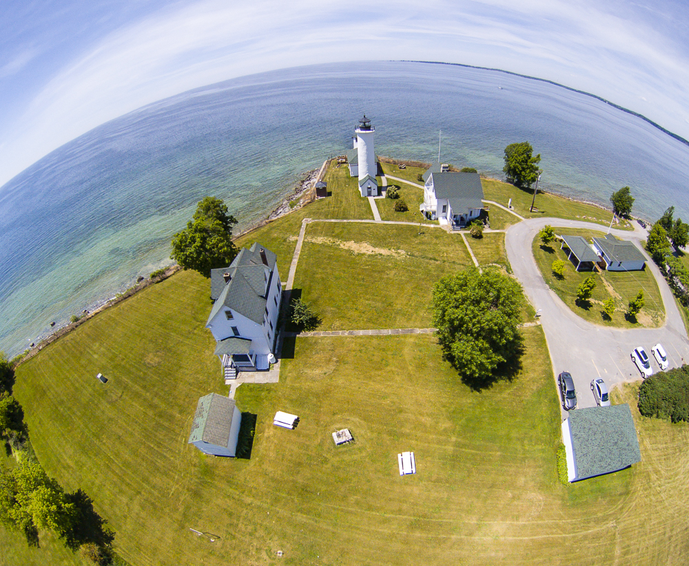
Tibbetts Point Light

Spot the Snowy Owl ?

Through the Tent Window

Cape Vincent Rocky Beach

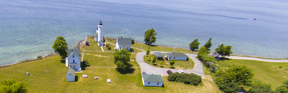
Tibbets Point Lighthouse

Least Bittern

Silo-home

My view taking the trash out

DSB_7796 (Large)
My view... #Snow

My View....

My view.
My view.
My view. #Battleship #Winner

Sackets Weekend - 2010_6349

Abandoned house, Wolfe Island, Ontario

Old building in fall

Chaumont Bay

Chaumont, NY
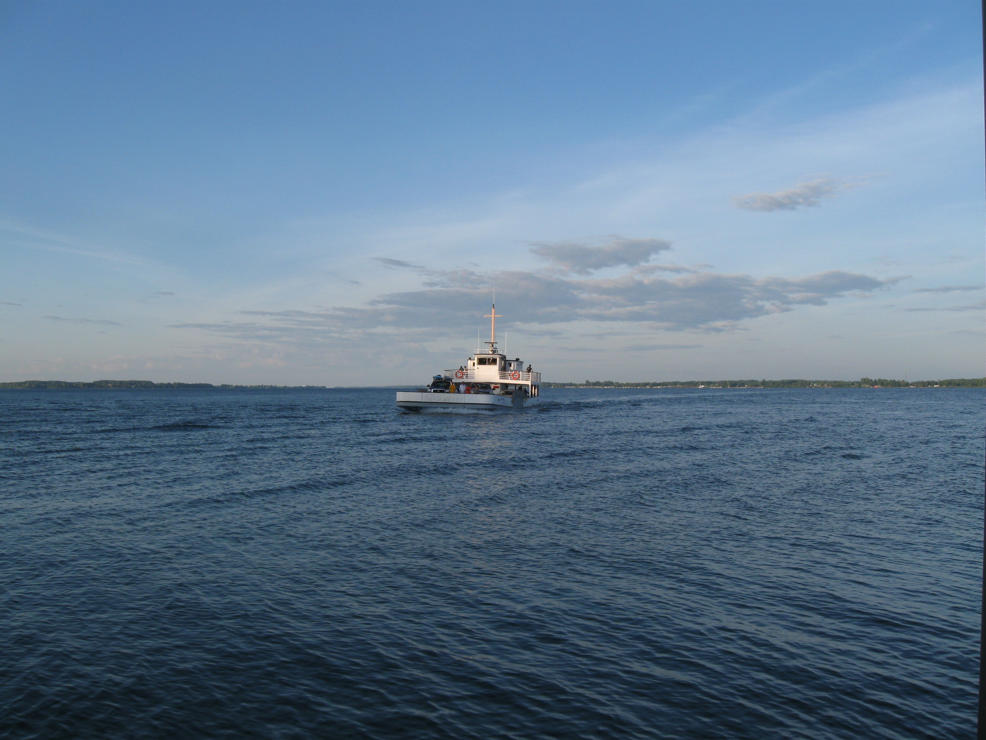
Wolfe Island Ferry

Cape Vincent, NY
Bebop2_20160618124316-0400.jpg

Cape Vincent

Chaumont, NY

Chaumont, NY
Bebop2_20160618125158-0400.jpg

piering out

Button Bay

Algocape entering Lake Ontario

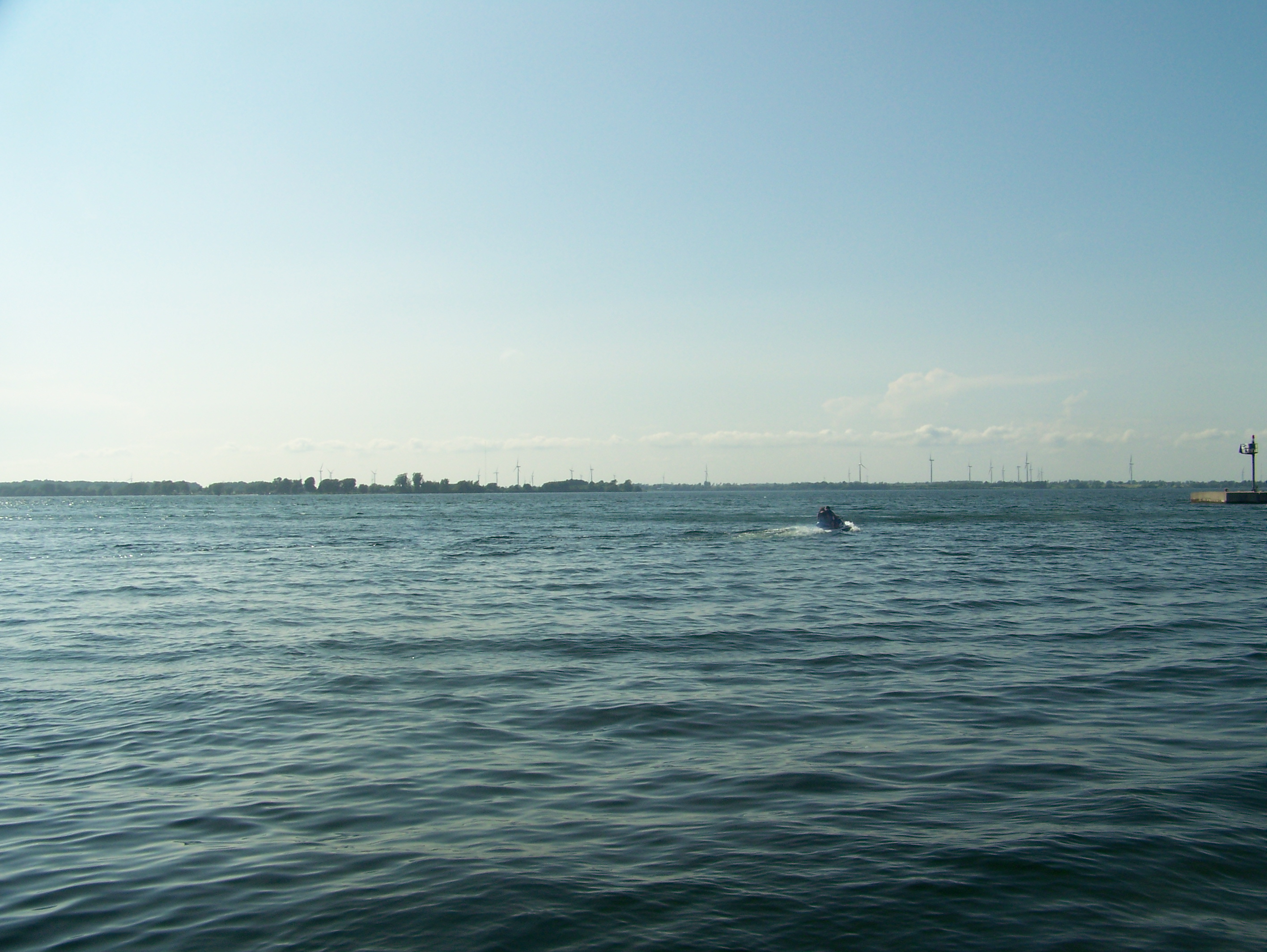
So I am up here for a sailboat race today....

Cape Vincent, NY

Wolfe Island

Cape Vincent, NY
Cape Vincent, NY

Cape Vincent, NY
Topographic Map of Pond's Shore Dr, Cape Vincent, NY, USA
Find elevation by address:

Places near Pond's Shore Dr, Cape Vincent, NY, USA:
29213 Wilson Point Cir
29845 Fuller Bay Dr
29951 Fuller Bay Dr
29713 Fuller Bay Dr
Cape Vincent
Tibbetts Point Lighthouse
419 Centre St
Cape Vincent
Lyme
County Rte 4, Cape Vincent, NY, USA
S Shore Rd, Three Mile Bay, NY, USA
Carpenters Point Rd, Gananoque, ON K7G 3C7, Canada
4540 S Shore Rd
4540 S Shore Rd
4540 S Shore Rd
4540 S Shore Rd
4540 S Shore Rd
4540 S Shore Rd
4540 S Shore Rd
28467 Bayview Dr
Recent Searches:
- Elevation of Corso Fratelli Cairoli, 35, Macerata MC, Italy
- Elevation of Tallevast Rd, Sarasota, FL, USA
- Elevation of 4th St E, Sonoma, CA, USA
- Elevation of Black Hollow Rd, Pennsdale, PA, USA
- Elevation of Oakland Ave, Williamsport, PA, USA
- Elevation of Pedrógão Grande, Portugal
- Elevation of Klee Dr, Martinsburg, WV, USA
- Elevation of Via Roma, Pieranica CR, Italy
- Elevation of Tavkvetili Mountain, Georgia
- Elevation of Hartfords Bluff Cir, Mt Pleasant, SC, USA