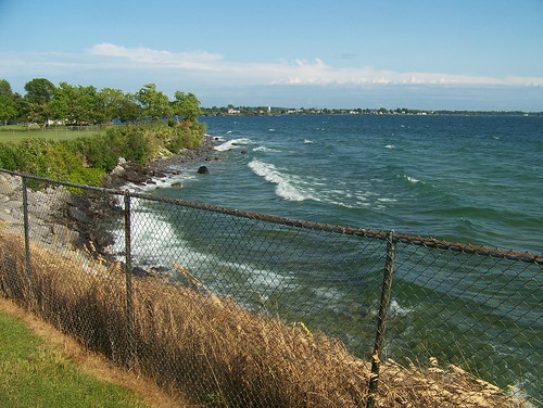
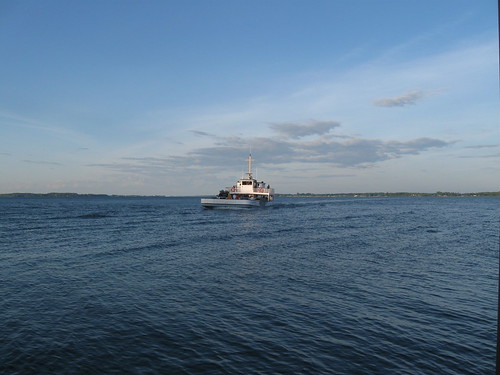
Elevation of Fuller Bay Dr, Cape Vincent, NY, USA
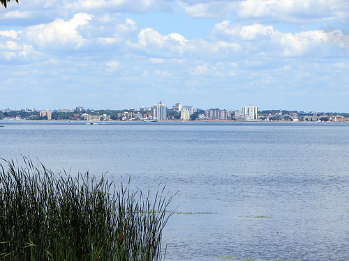
Location: United States > New York > Jefferson County > Cape Vincent > Cape Vincent >

Longitude: -76.359683

Latitude: 44.095586

Elevation: 82m / 269feet

Barometric Pressure: 100KPa

Elevation Map:

elevation map of Fuller Bay Dr, Cape Vincent, NY, USA

Satellite Map:

Satellite map of Fuller Bay Dr, Cape Vincent, NY, USA

Related Photos:

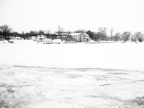
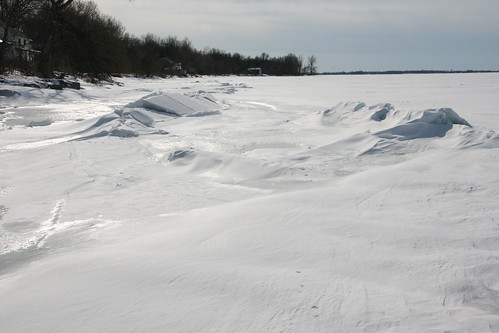
houses white snow ontario ice explore kingston lakeontario blackandwhitephotography intersetingness canda wolfeisland whataview funwithphotos playingwiththecontrastandwhatnot
Wolfe Island in winter
Least Bittern
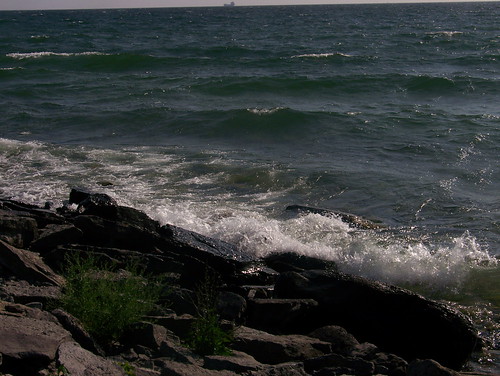
county travel trees vacation sky lighthouse newyork beach water clouds landscape nikon rocks surf waves d70 wind horizon rocky wideangle greatlakes jefferson lakeontario 1000islands uwa capevincent tokina1224mm tibbetspoint yourphototips scottthomasphotography
Cape Vincent Rocky Beach
interesting kingston mostinteresting imaging xavier services biel 2010 jasonmichael august2010 thebeautyineverydaylife bielproject jasonxmichael xavierimagingservices
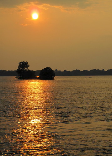
Small Island View from Ferry 2 - BIEL Project (the Beauty In Everyday Life)
wolfeisland msrvision2020
MSR Vision 2020 Dinner
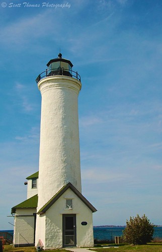
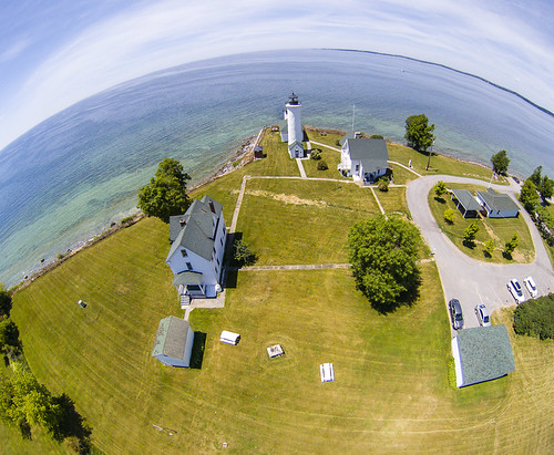
county travel blue sky lighthouse white newyork building history water clouds river islands nikon d70 greatlakes stlawrence historical jefferson tall lakeontario 1000 thousand vr circular seaway 18200mm capevincent tibbetspoint yourphototips scottthomasphotography ithacastock
Tibbets Point Lighthouse
uploaded:by=flickrmobile flickriosapp:filter=narwhal narwhalfilter
My view... #Snow
Pack Ice
vignetting vignetted mypics wolfeisland ontario canada christchurch anglican church slightboost churches christian christianity
Window at back of Christ Church
uploaded:by=flickrmobile flickriosapp:filter=nofilter
My view taking the trash out
meadow doe deer dailyshoot ds634
Through the Tent Window
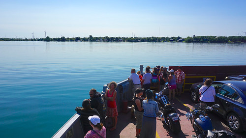
View of the Shore from the Ferry
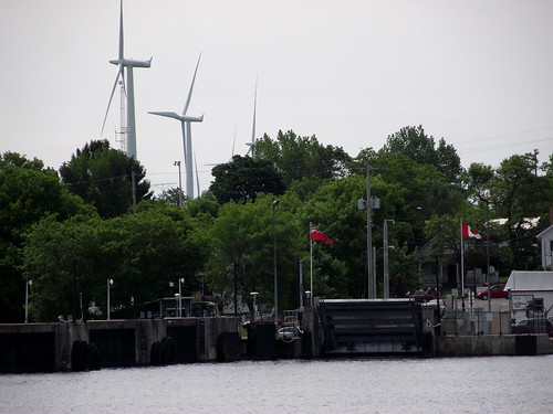
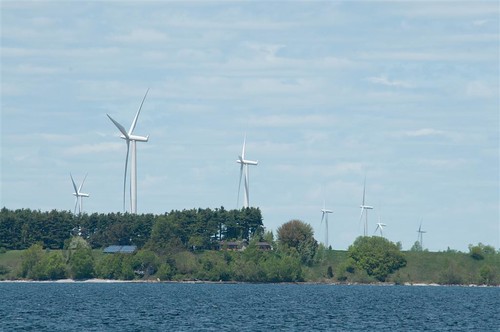
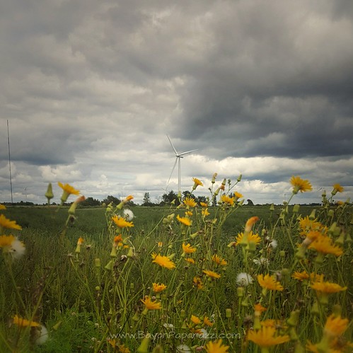
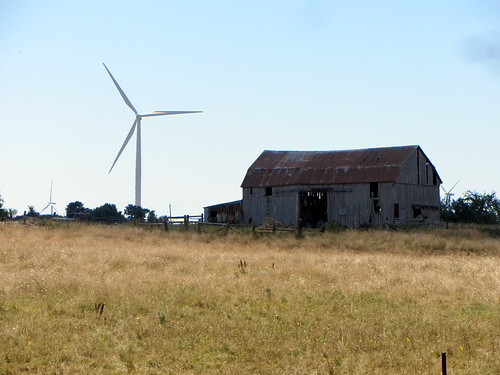
windfarm wolfeisland
DSB_7796 (Large)
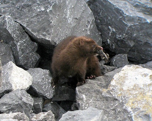
ontario island american mink vison wolfe jeffamy mustela
American Mink (Mustela vison)
crossings week7 shootanythingsaturday 7daysofshooting
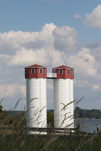
Silo-home
canada ontario frontenaccounty kingston stlawrenceriver wolfeisland wolfeislander ferry
Heading to Wolfe Island
house ontario canada abandoned rural decay kingston stlawrence hdr decayed wolfeisland
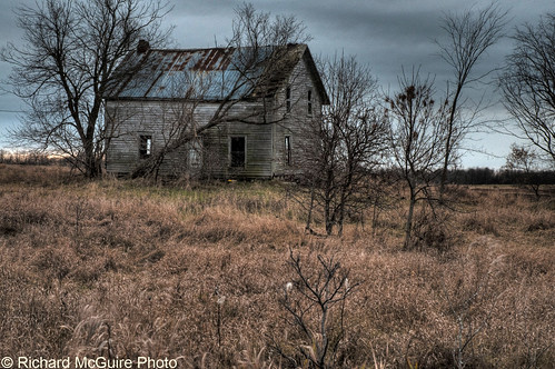
Abandoned house, Wolfe Island, Ontario
capevincent newyork unitedstates us
Tibbetts Point
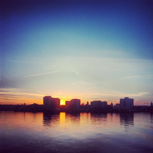
square squareformat iphoneography instagramapp uploaded:by=instagram foursquare:venue=4debe54718386283a40b26c6
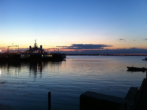
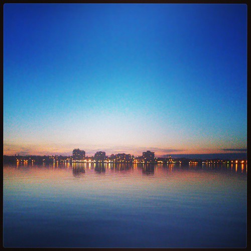
Kingston Lights
sunset lake ontario canada water interestingness explore lakeontario wolfeisland happybirthdaymum 2009yip
Day 163 - Happy Birthday Mum
Goodbye Kingston
capevincent newyork unitedstates us
Bebop2_20160618124316-0400.jpg
square squareformat amaro iphoneography instagramapp uploaded:by=instagram foursquare:venue=4bab8358f964a52047af3ae3
Kingston Sunset
capevincent newyork unitedstates us
Bebop2_20160618125158-0400.jpg
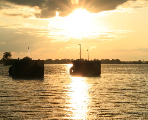
Sunset- Reed's Bay, Wolfe Island
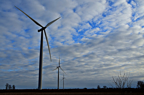
winter ontario clouds landscape bluesky windturbines wolfeisland bigsandybay
050112_0224-1
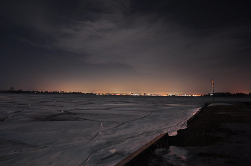
city winter sky lake ontario canada ice water look night dark skyscape landscape island lights evening frozen dock scenery angle horizon seasonal wide scenic panoramic kingston freeze distance across cityatnight illuminate darksky wolfe waterscape cityonthewater
Across the way
Hike to Garden Island_4032
2017-08-27_09-15-30
Tibbets Point, NY
ontario thousandislands marysville wolfeisland frontenacislands
Wolfe Island, Past and Future
Two Loves
Tibbets Point, NY
Wolfe Island Ferry
ontario kingston thousandislands marysville wolfeisland frontenacislands
Kingston from Wolfe Island