Elevation of Fuller Bay Dr, Cape Vincent, NY, USA
Location: United States > New York > Jefferson County > Cape Vincent > Cape Vincent >
Longitude: -76.359448
Latitude: 44.096424
Elevation: 80m / 262feet
Barometric Pressure: 100KPa
Elevation Map:
Satellite Map:
Related Photos:

Cape Vincent Rocky Beach

MSR Vision 2020 Dinner
Here's a table just for you
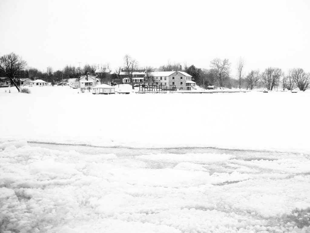
My view... #Snow

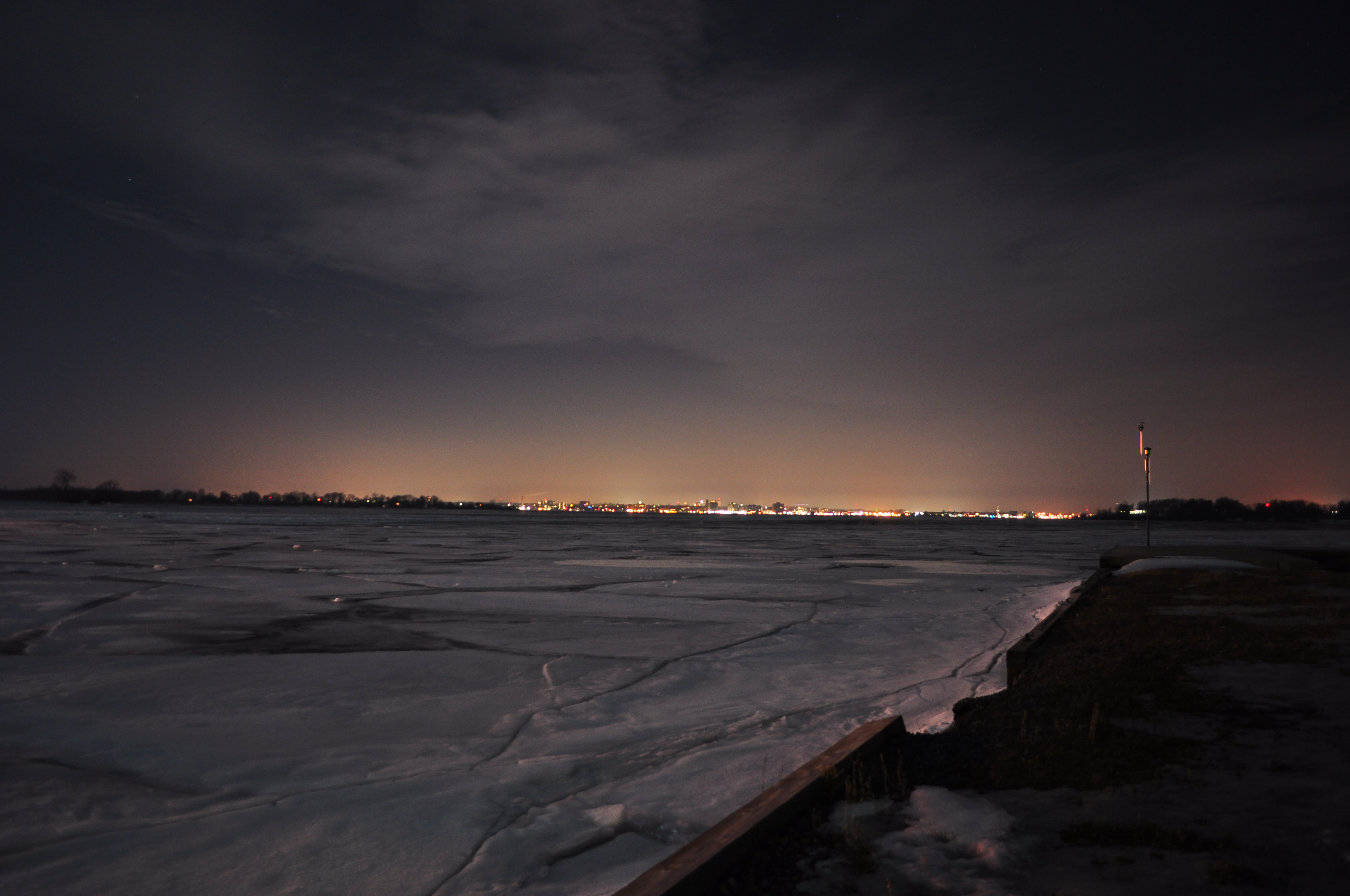
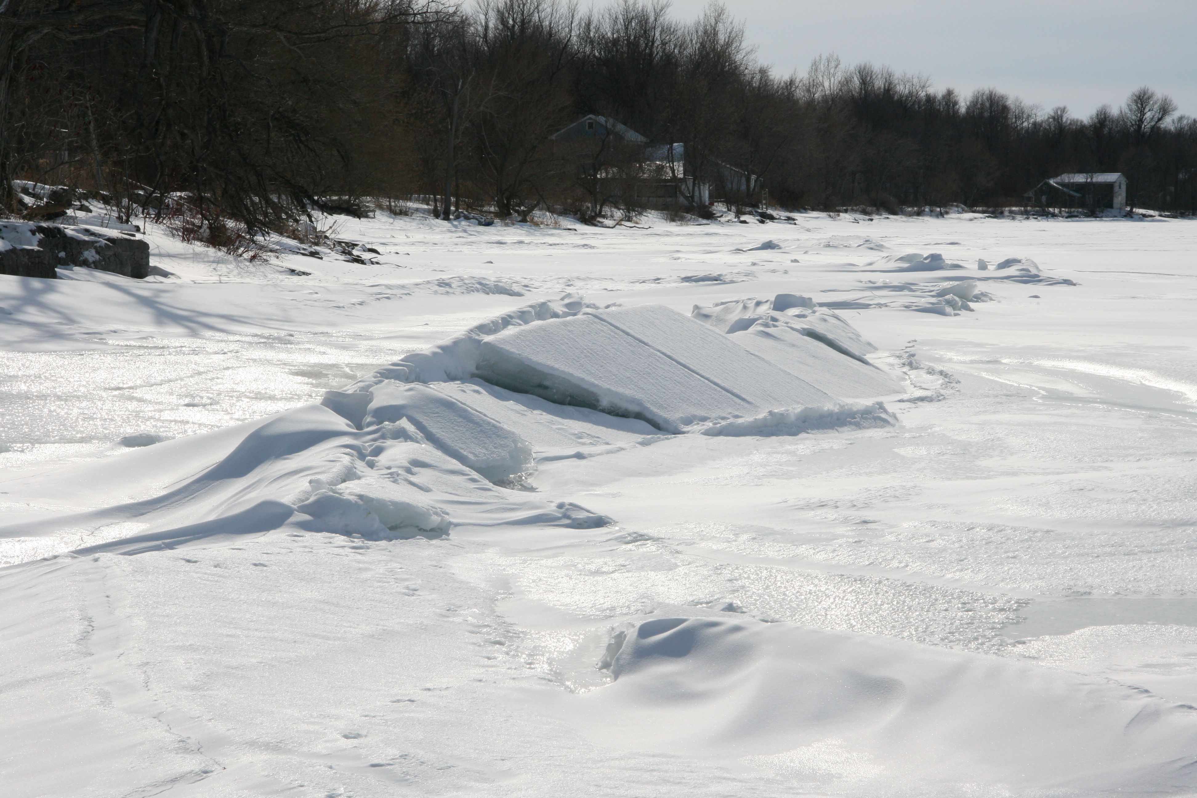
Pack Ice
Kingston Waterfront View from Discovery Cruise
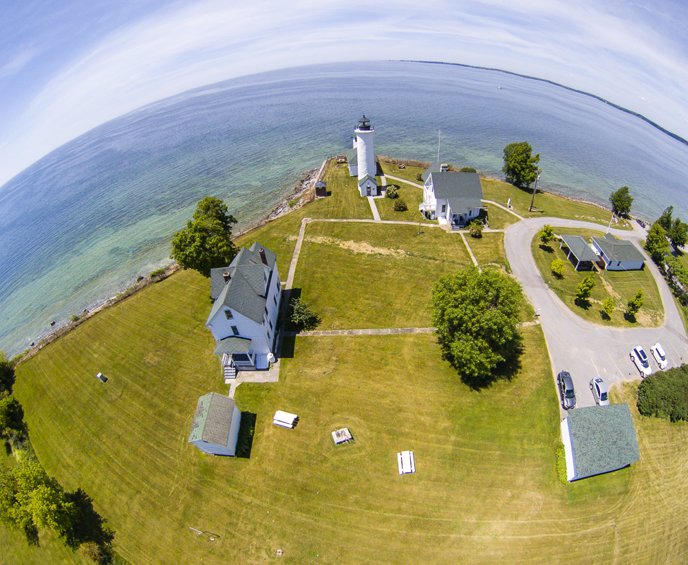
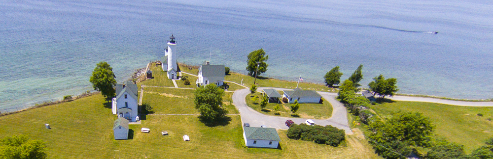
Tibbetts Point Light

Window at back of Christ Church
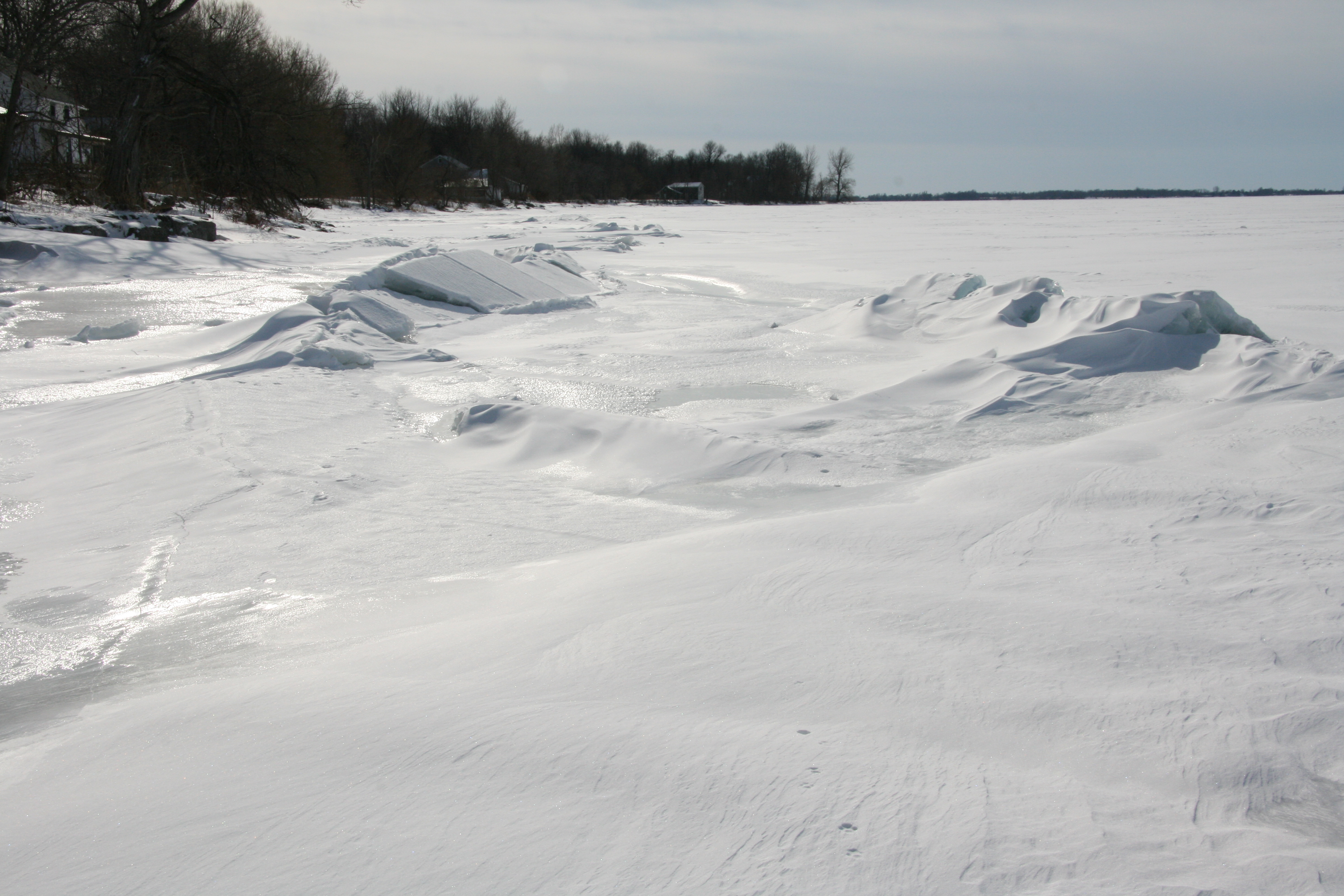
Wolfe Island in winter
Sackets Weekend - 2010_6349

Ermine a.k.a. Short-tailed Weasel (Mustela erminea)
My view taking the trash out
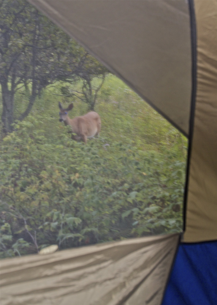
Through the Tent Window

DSB_7796 (Large)
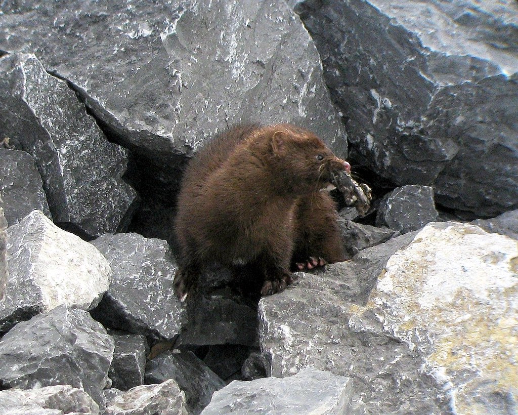
American Mink (Mustela vison)
Spot the Snowy Owl ?
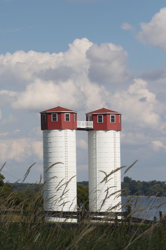
Silo-home
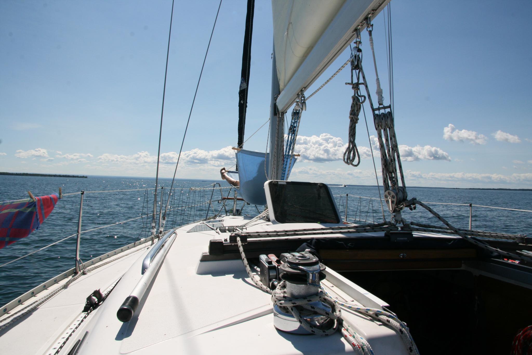
Heading to Wolfe Island

Least Bittern
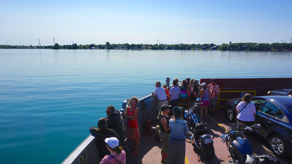
View of the Shore from the Ferry
Small Island View from Ferry 2 - BIEL Project (the Beauty In Everyday Life)
050112_0224-1

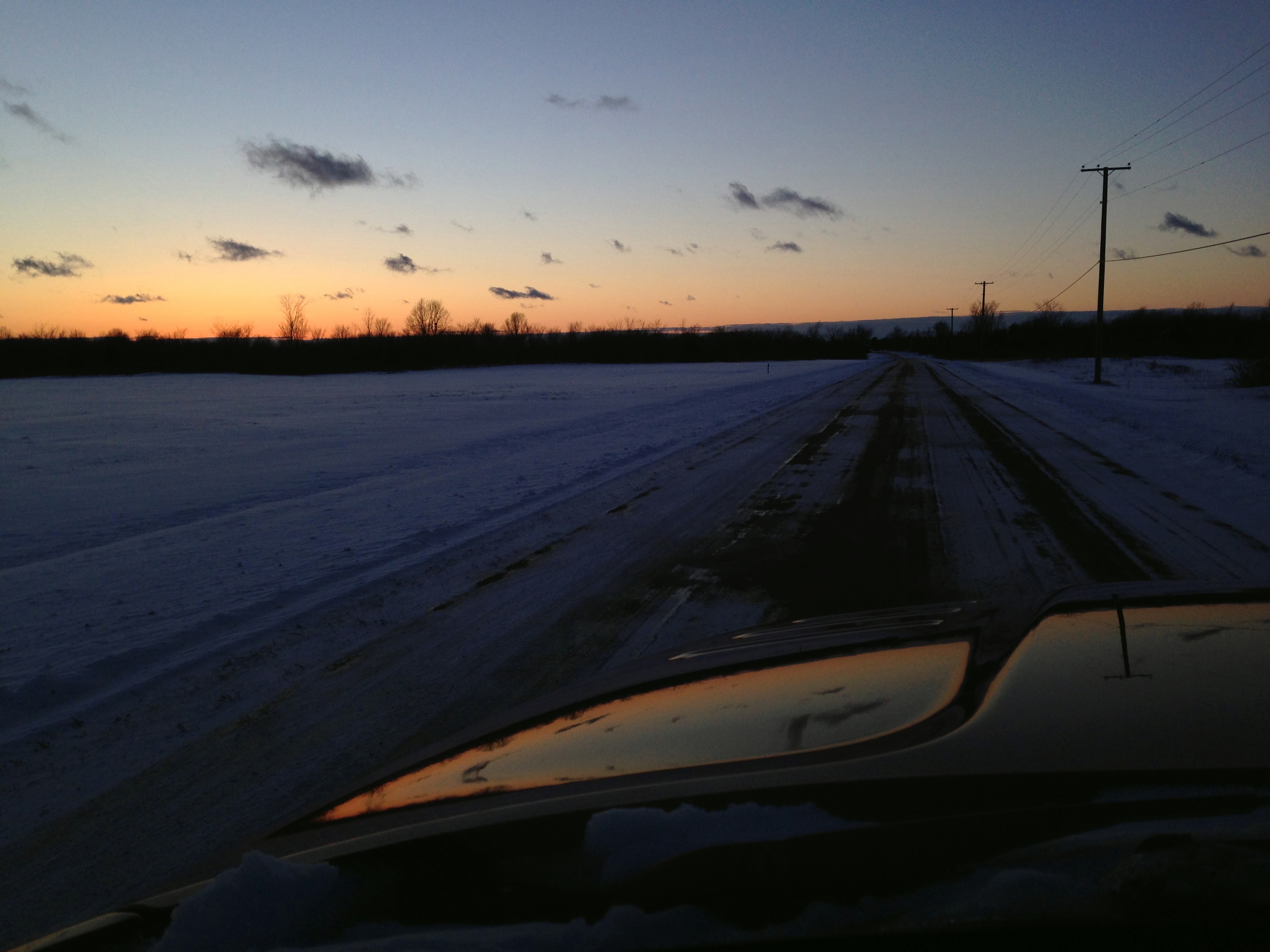
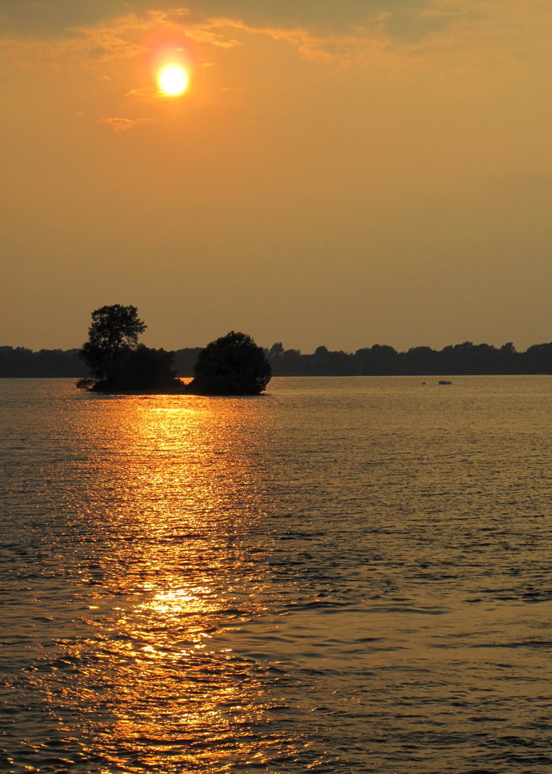
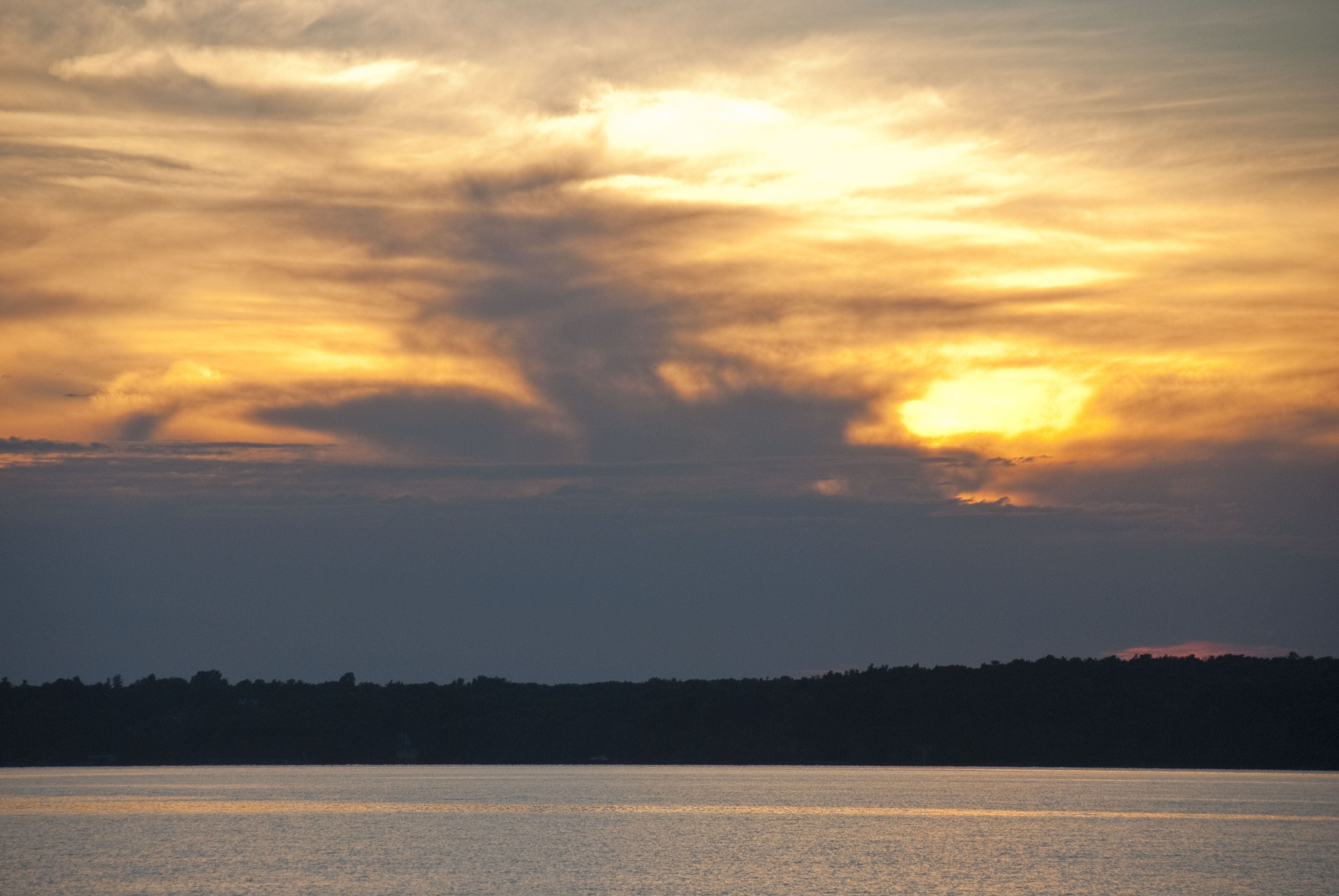
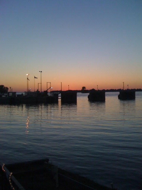
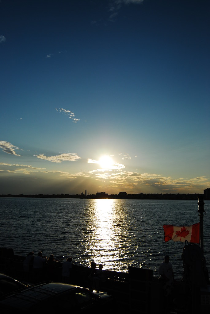
Sunset over St. Lawrence
Day 163 - Happy Birthday Mum

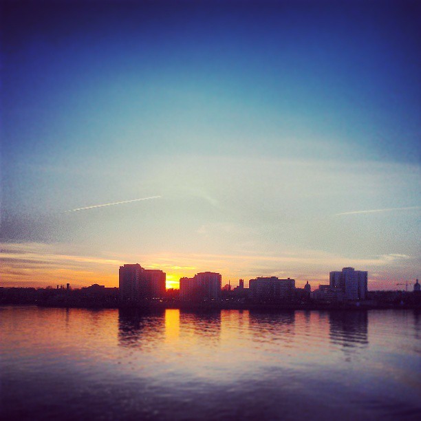
Goodbye Kingston
Bebop2_20160618124316-0400.jpg

House by the lake
Kingston Sunset

Cottage.
DSC_7140.JPG
Bebop2_20160618125158-0400.jpg
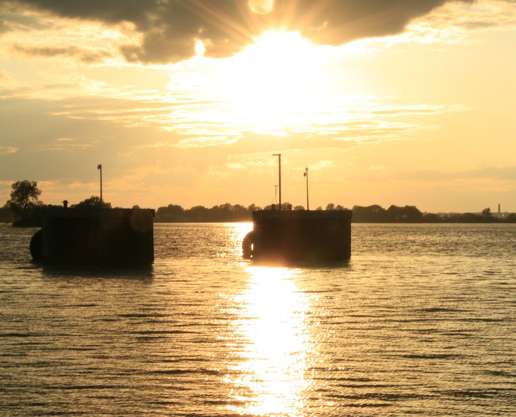
Sunset on Wolfe Island
Across the way
Hike to Garden Island_4032
Button Bay
Hike to Garden Island_4033
Sunset over Kingston

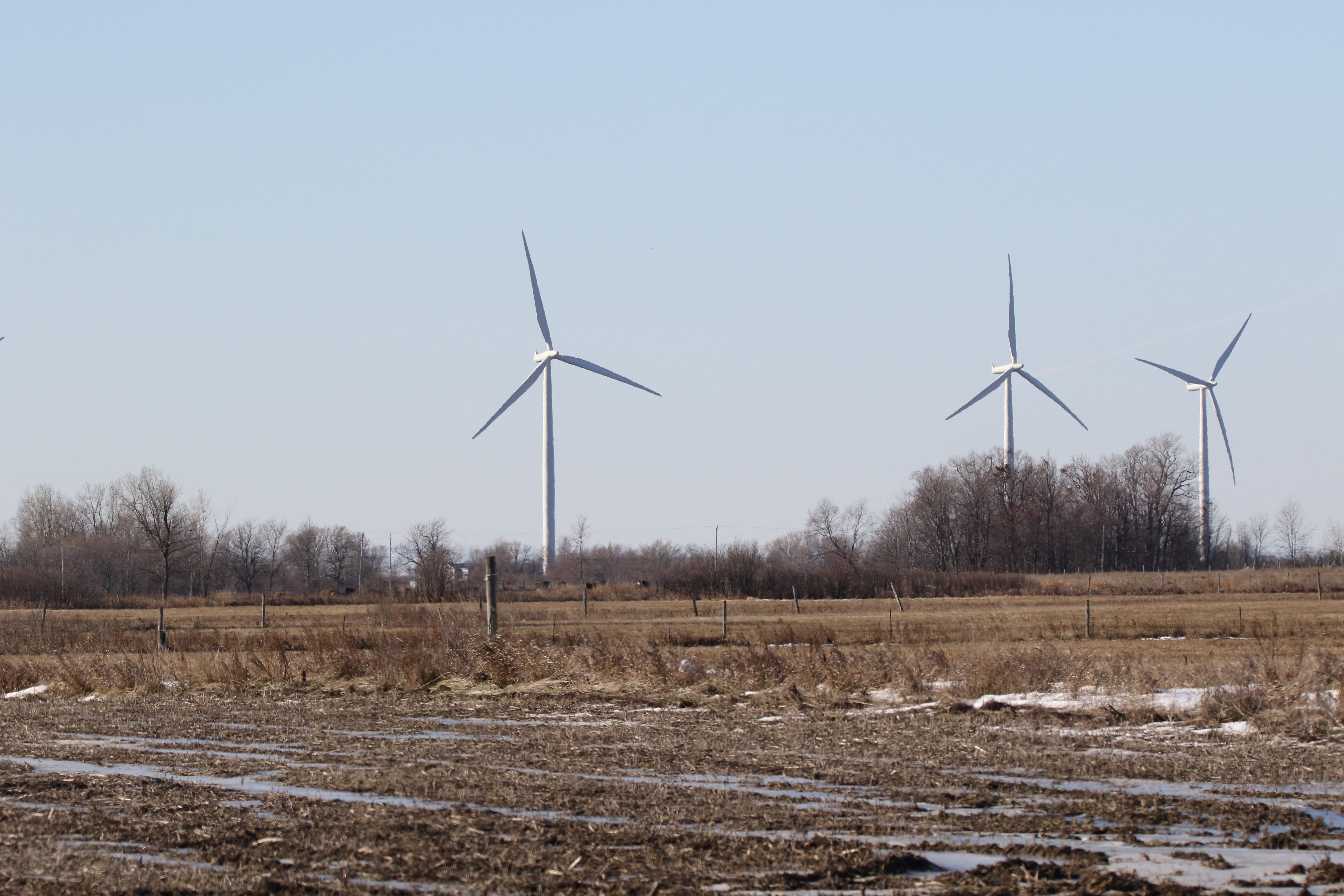
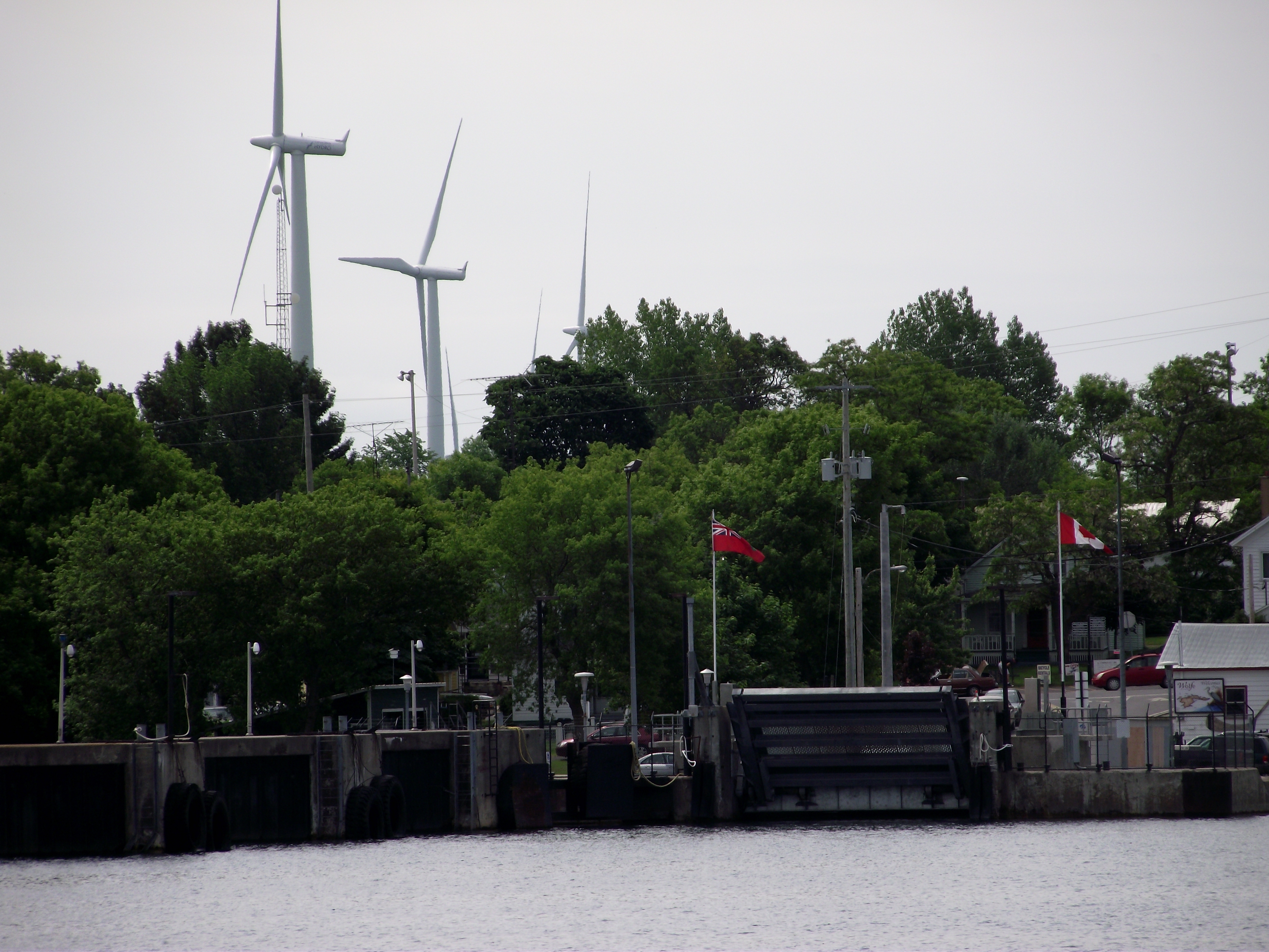
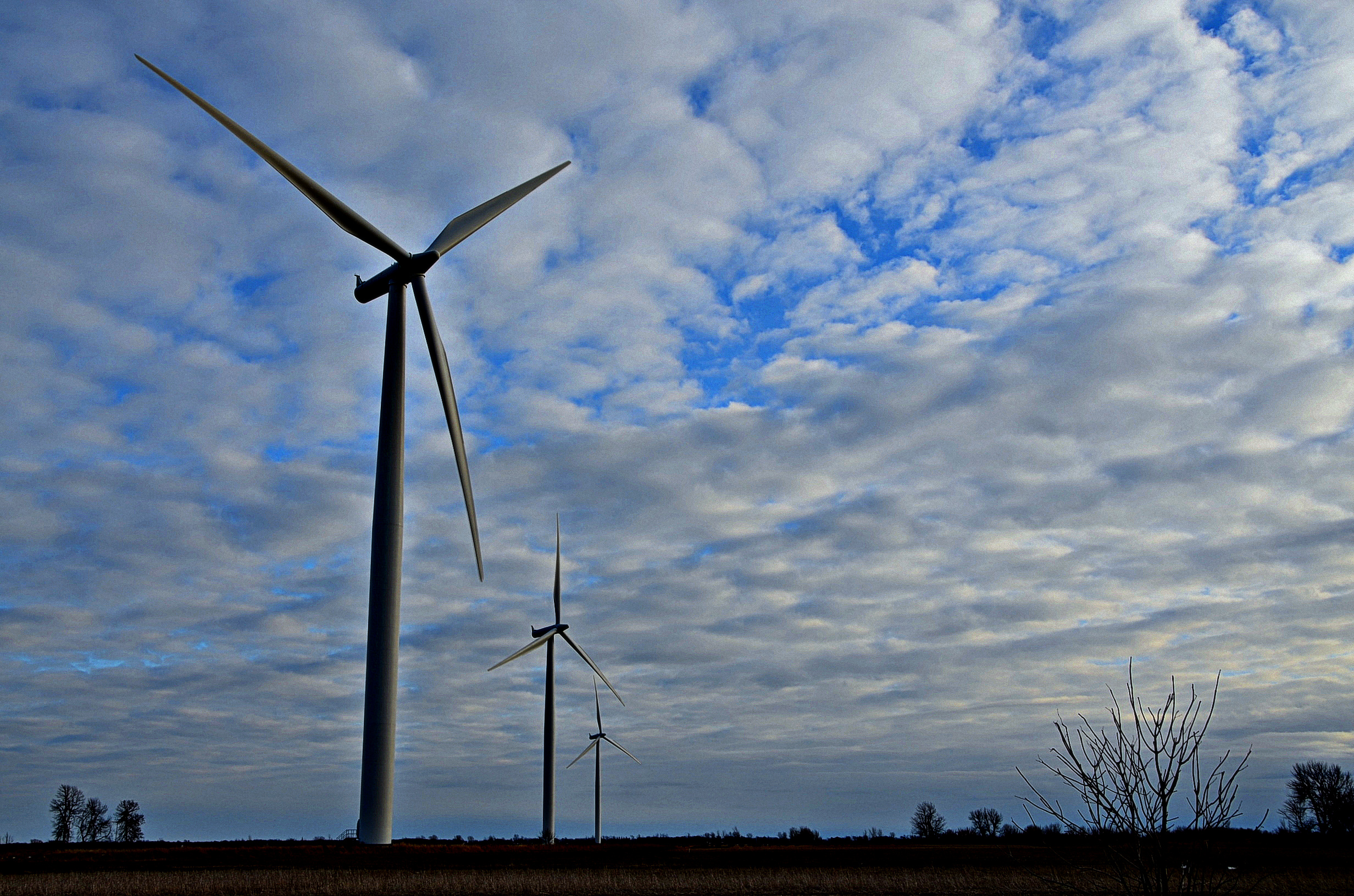
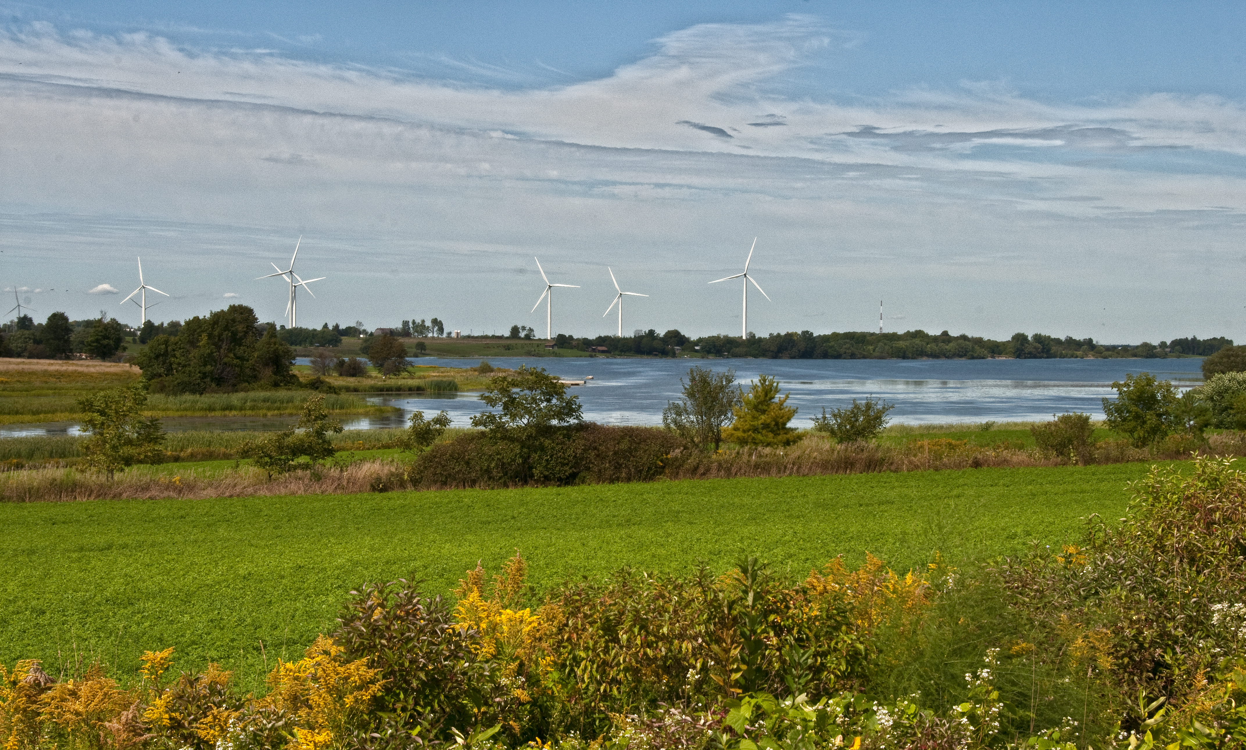
Wolfe Island, Past and Future

Two Loves
Topographic Map of Fuller Bay Dr, Cape Vincent, NY, USA
Find elevation by address:

Places near Fuller Bay Dr, Cape Vincent, NY, USA:
29951 Fuller Bay Dr
29845 Fuller Bay Dr
29213 Wilson Point Cir
Tibbetts Point Lighthouse
Cape Vincent
419 Centre St
2468 Pond's Shore Dr
Cape Vincent
Carpenters Point Rd, Gananoque, ON K7G 3C7, Canada
County Rd 95, Wolfe Island, ON K0H 2Y0, Canada
Wolfe Island
965 Base Line Rd
County Rte 4, Cape Vincent, NY, USA
Marysville
NY-12E, Cape Vincent, NY, USA
Lyme
Frontenac Islands
28467 Bayview Dr
8679/8683
Three Mile Bay
Recent Searches:
- Elevation of Corso Fratelli Cairoli, 35, Macerata MC, Italy
- Elevation of Tallevast Rd, Sarasota, FL, USA
- Elevation of 4th St E, Sonoma, CA, USA
- Elevation of Black Hollow Rd, Pennsdale, PA, USA
- Elevation of Oakland Ave, Williamsport, PA, USA
- Elevation of Pedrógão Grande, Portugal
- Elevation of Klee Dr, Martinsburg, WV, USA
- Elevation of Via Roma, Pieranica CR, Italy
- Elevation of Tavkvetili Mountain, Georgia
- Elevation of Hartfords Bluff Cir, Mt Pleasant, SC, USA