Elevation of Pleasant Hill, AL, USA
Location: United States > Alabama > Dallas County > Sardis >
Longitude: -86.913521
Latitude: 32.165665
Elevation: 125m / 410feet
Barometric Pressure: 100KPa
Elevation Map:
Satellite Map:
Related Photos:
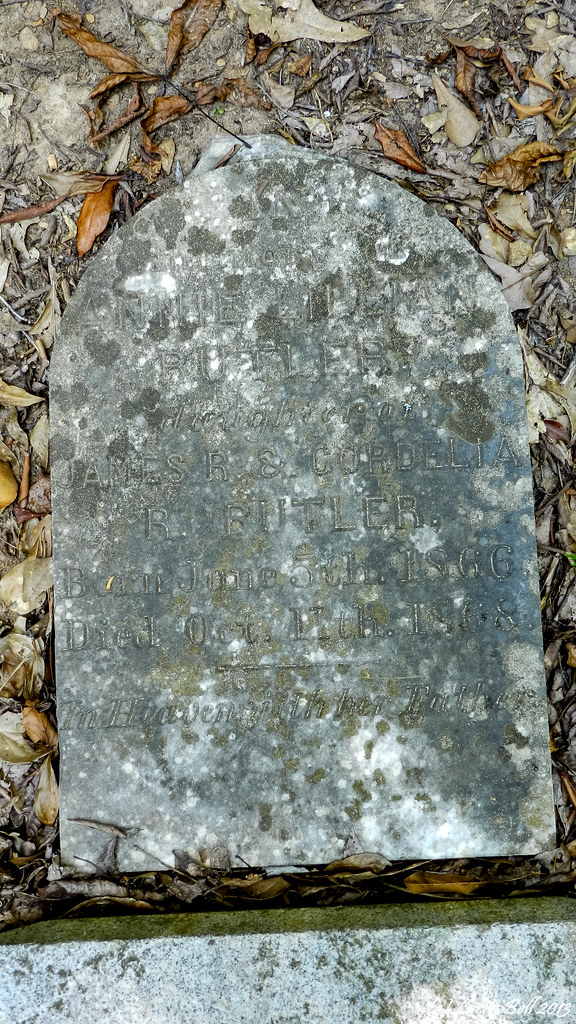
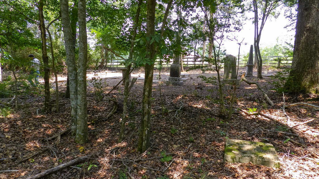
DSCN3829.jpg
20160109_150943.jpg
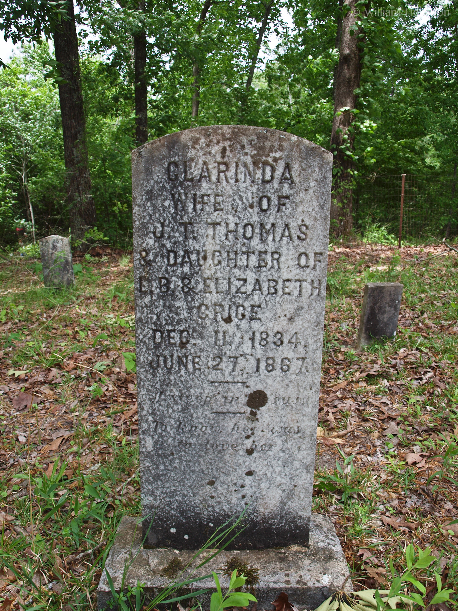
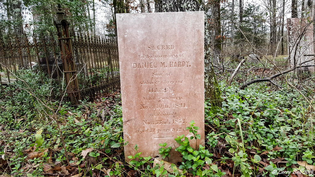
Marina Clarinda (Grice) Thomas
DSC_0240.jpg
20160109_151714.jpg
DSC_0239.jpg
DSC_0179.jpg
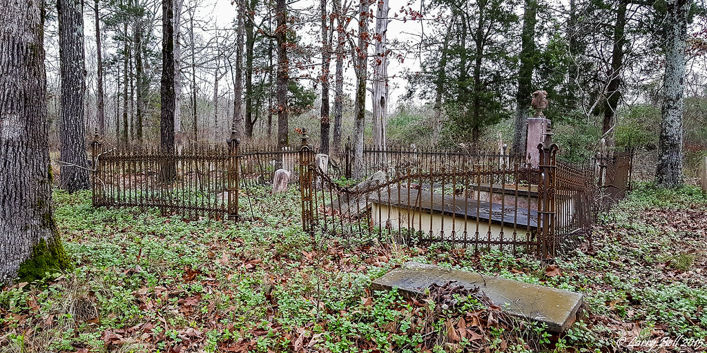
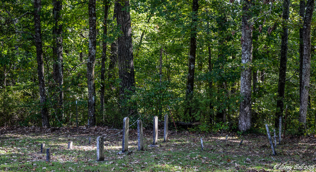
DSCN3863.jpg

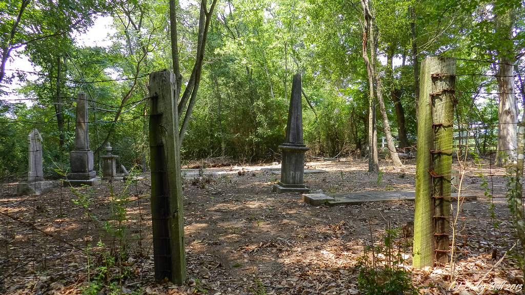
DSC_0232.jpg
DSCN3864.jpg
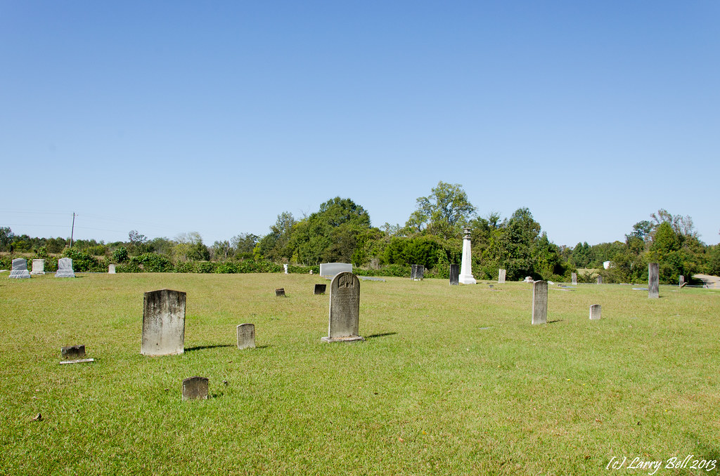
DSC_0312.jpg
_DSC0042.jpg
DSCN3871.jpg

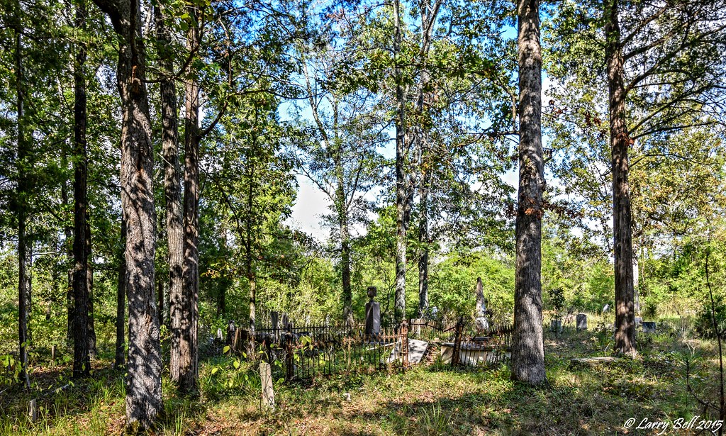
DSCN3759.jpg
Topographic Map of Pleasant Hill, AL, USA
Find elevation by address:

Places near Pleasant Hill, AL, USA:
Pleasant Hill
Co Rd, Minter, AL, USA
Co Rd, Minter, AL, USA
Minter
Sardis
Alabama
US-80, Selma, AL, USA
10 Co Rd 482
Cedar Lawn Dr, Sardis, AL, USA
Prairie Creek Road
Dallas County
Co Rd, Minter, AL, USA
Lowndes County
Allenton Rd, Pine Apple, AL, USA
Allenton Rd, Pine Apple, AL, USA
Coker Rd, Hayneville, AL, USA
Co Rd, Orrville, AL, USA
Darlington Rd, Camden, AL, USA
Co Rd, Orrville, AL, USA
AL-10, Pine Apple, AL, USA
Recent Searches:
- Elevation of Corso Fratelli Cairoli, 35, Macerata MC, Italy
- Elevation of Tallevast Rd, Sarasota, FL, USA
- Elevation of 4th St E, Sonoma, CA, USA
- Elevation of Black Hollow Rd, Pennsdale, PA, USA
- Elevation of Oakland Ave, Williamsport, PA, USA
- Elevation of Pedrógão Grande, Portugal
- Elevation of Klee Dr, Martinsburg, WV, USA
- Elevation of Via Roma, Pieranica CR, Italy
- Elevation of Tavkvetili Mountain, Georgia
- Elevation of Hartfords Bluff Cir, Mt Pleasant, SC, USA