Elevation of Lowndes County, AL, USA
Location: United States > Alabama >
Longitude: -86.661108
Latitude: 32.221464
Elevation: 51m / 167feet
Barometric Pressure: 101KPa
Elevation Map:
Satellite Map:
Related Photos:
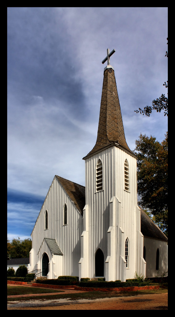
St. Paul's Episcopal Church
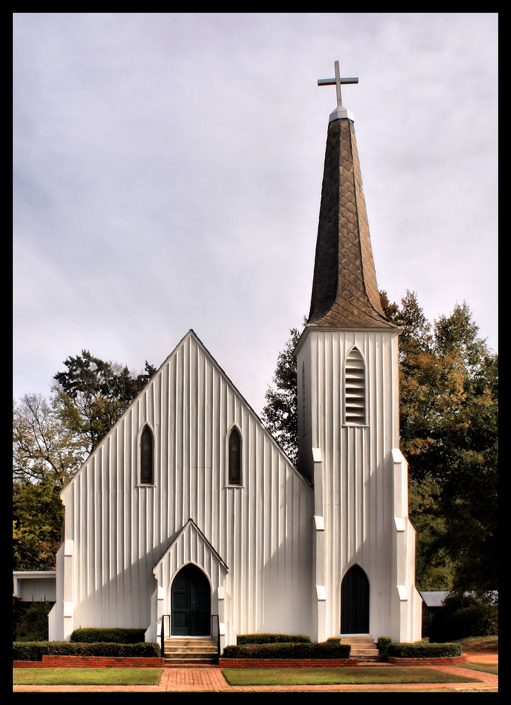
St. Paul's Episcopal Church Established 1856

St. James Christian Methodist Episcopal Church

Lowndesboro Baptist Church Est 1888

Lowndesboro First Missionary Baptist Church
Lowndesboro Baptist Church Est 1888

St. Paul's Episcopal Church

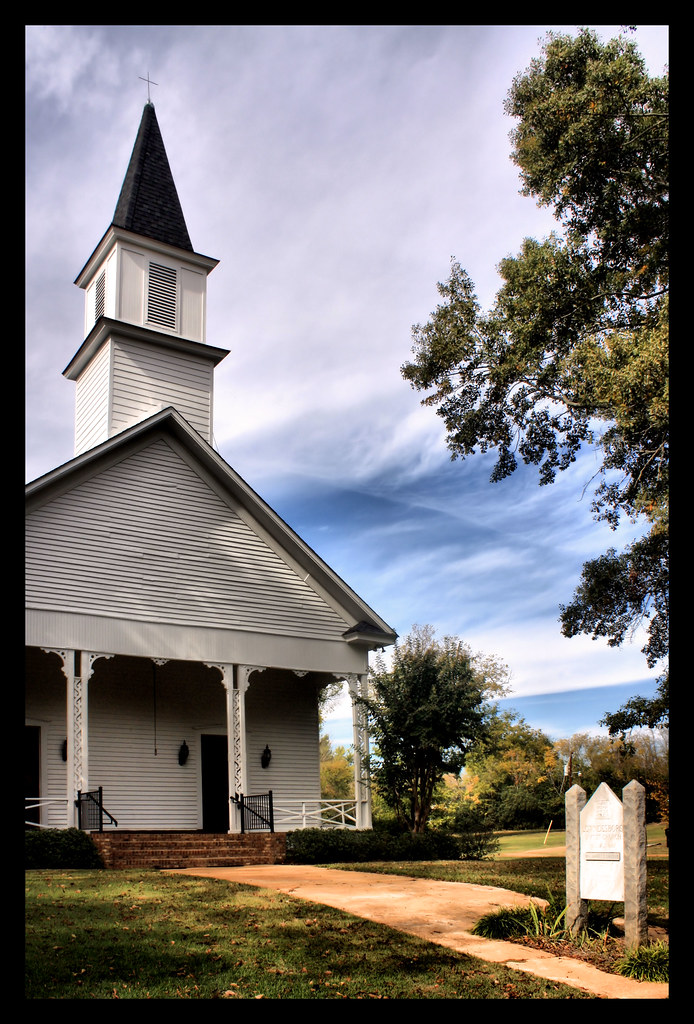
Lowndesboro Presbyterian Church

The Will Stone Store

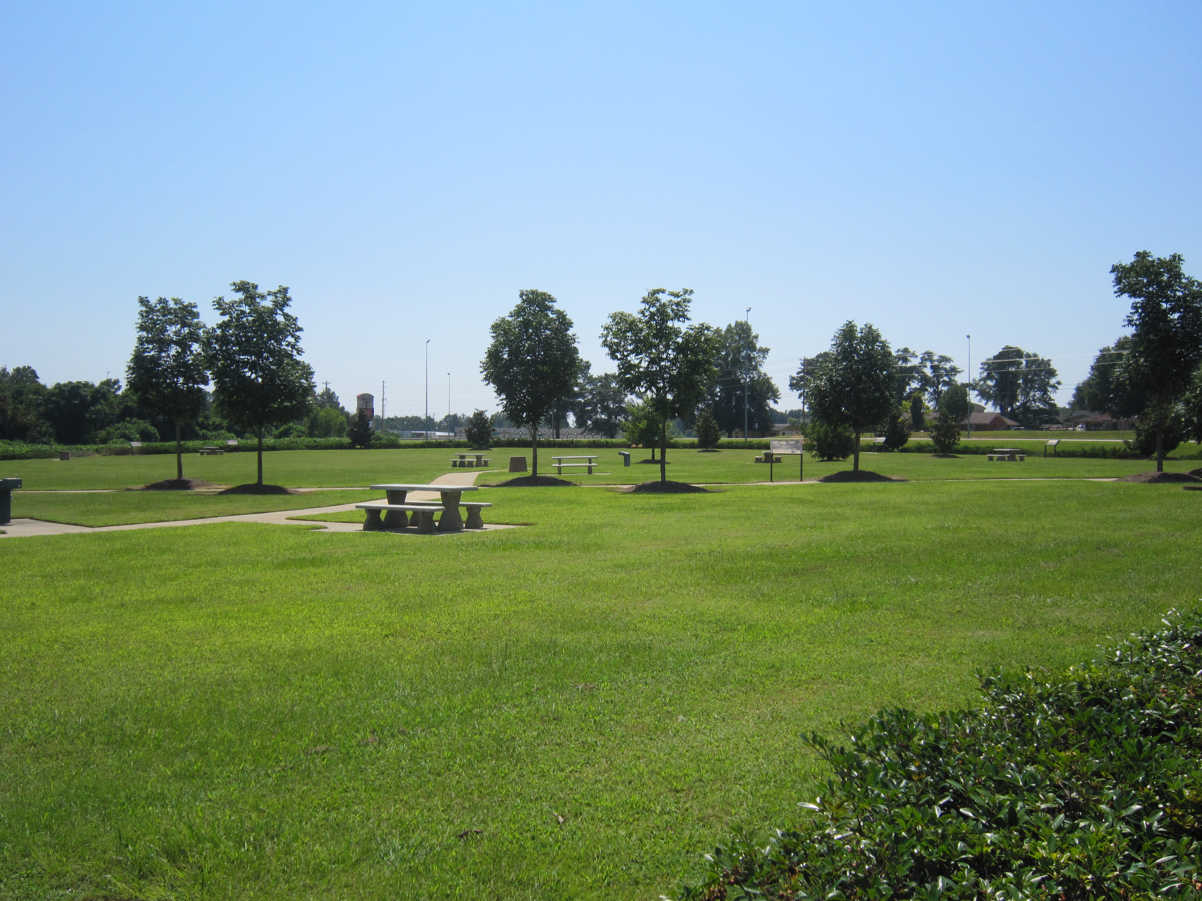
The Alabama at R. E. Bob Woodruff Lake
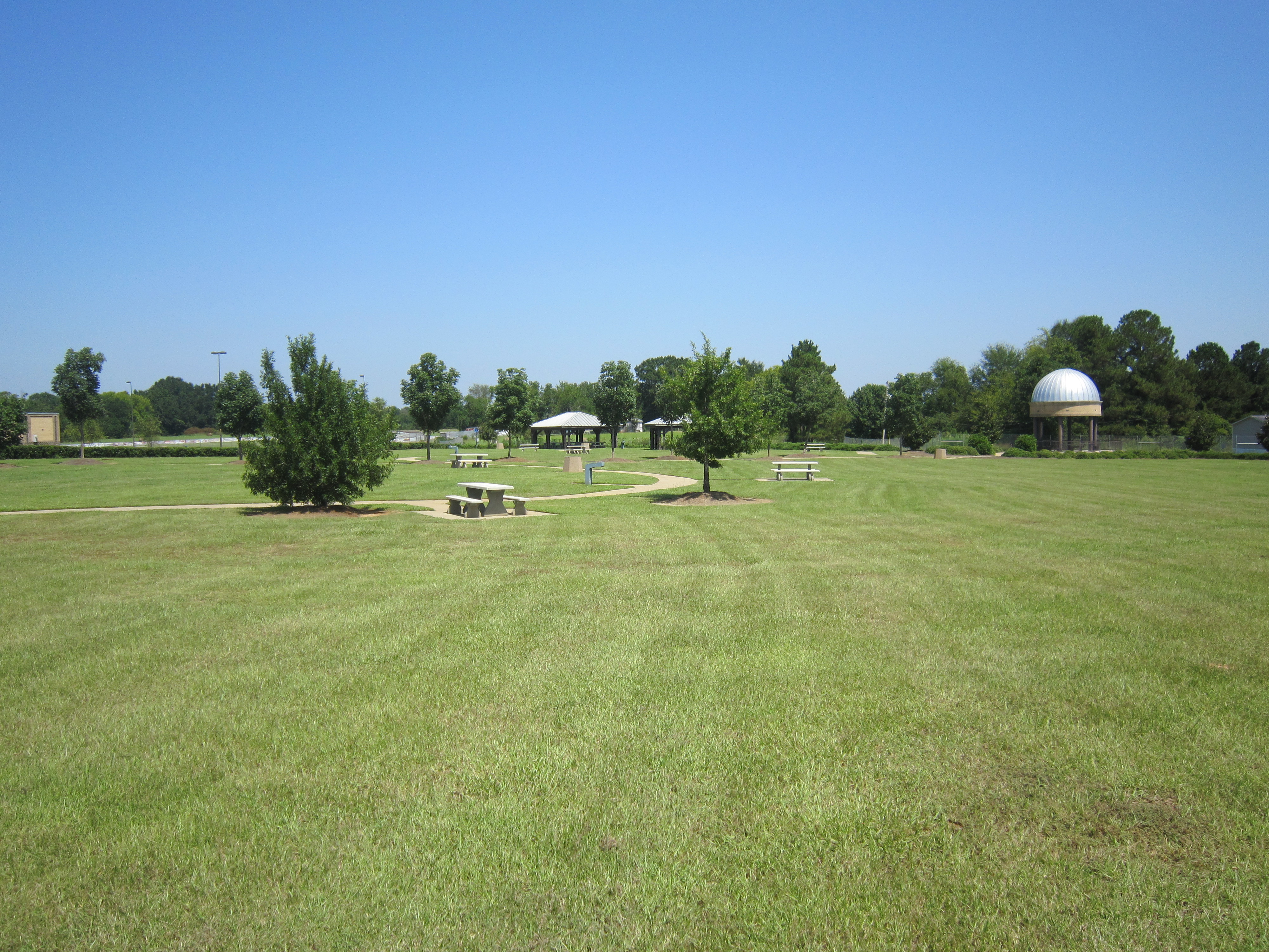
Lowndes Intrepretrive Center Trail
Lowndes Interpretive Center Trail 2
Topographic Map of Lowndes County, AL, USA
Find elevation by address:

Places in Lowndes County, AL, USA:
Places near Lowndes County, AL, USA:
Lowndesboro
S Broad St, Lowndesboro, AL, USA
Hayneville
W Tuskeena St, Hayneville, AL, USA
Coker Rd, Hayneville, AL, USA
Prairie Creek Road
70 Judge Rd
Co Rd 26, Hope Hull, AL, USA
Cantelou Rd, Montgomery, AL, USA
Selma Hwy, Montgomery, AL, USA
Mason Rd, Hope Hull, AL, USA
Pleasant Hill
Pleasant Hill
Alabama
544 W Mclean Rd
10 Co Rd 482
W Hickory Grove Rd, Letohatchee, AL, USA
US-80, Selma, AL, USA
Woodcrest Dr, Montgomery, AL, USA
Hope Hull
Recent Searches:
- Elevation of Corso Fratelli Cairoli, 35, Macerata MC, Italy
- Elevation of Tallevast Rd, Sarasota, FL, USA
- Elevation of 4th St E, Sonoma, CA, USA
- Elevation of Black Hollow Rd, Pennsdale, PA, USA
- Elevation of Oakland Ave, Williamsport, PA, USA
- Elevation of Pedrógão Grande, Portugal
- Elevation of Klee Dr, Martinsburg, WV, USA
- Elevation of Via Roma, Pieranica CR, Italy
- Elevation of Tavkvetili Mountain, Georgia
- Elevation of Hartfords Bluff Cir, Mt Pleasant, SC, USA