Elevation of Hayneville, AL, USA
| Latitude | 32.1840315 |
|---|---|
| Longitude | -86.5802533 |
| Elevation | 74m / 243feet |
| Barometric Pressure | 1004KPa |
Related Photos:
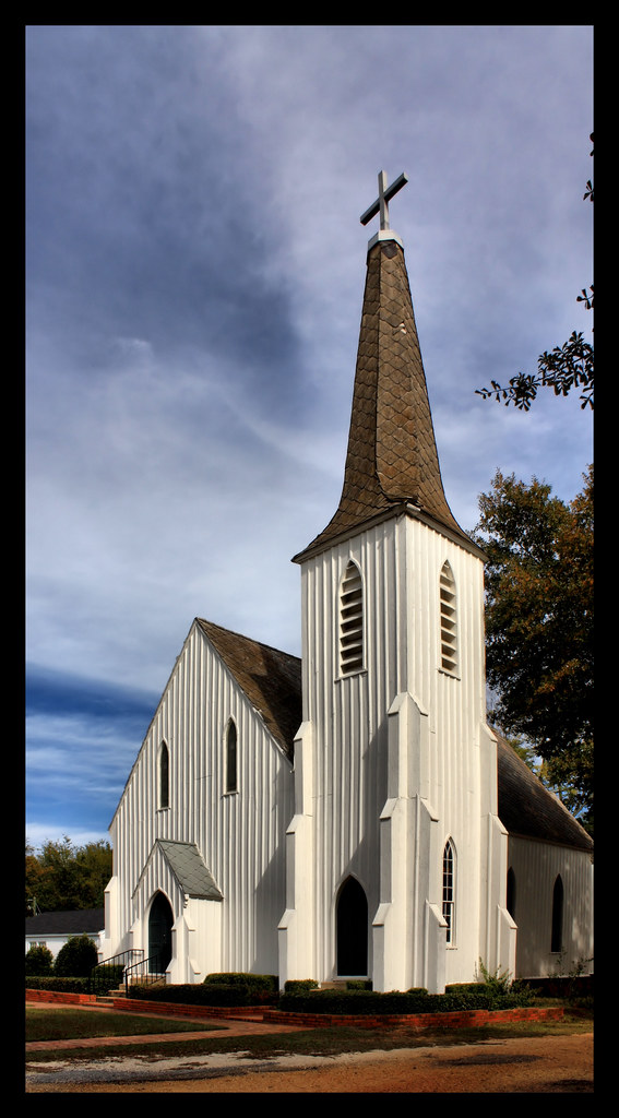
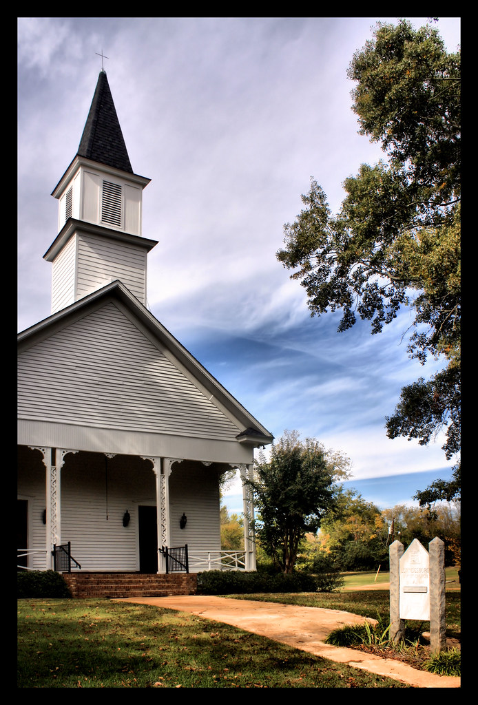
St. Paul's Episcopal Church
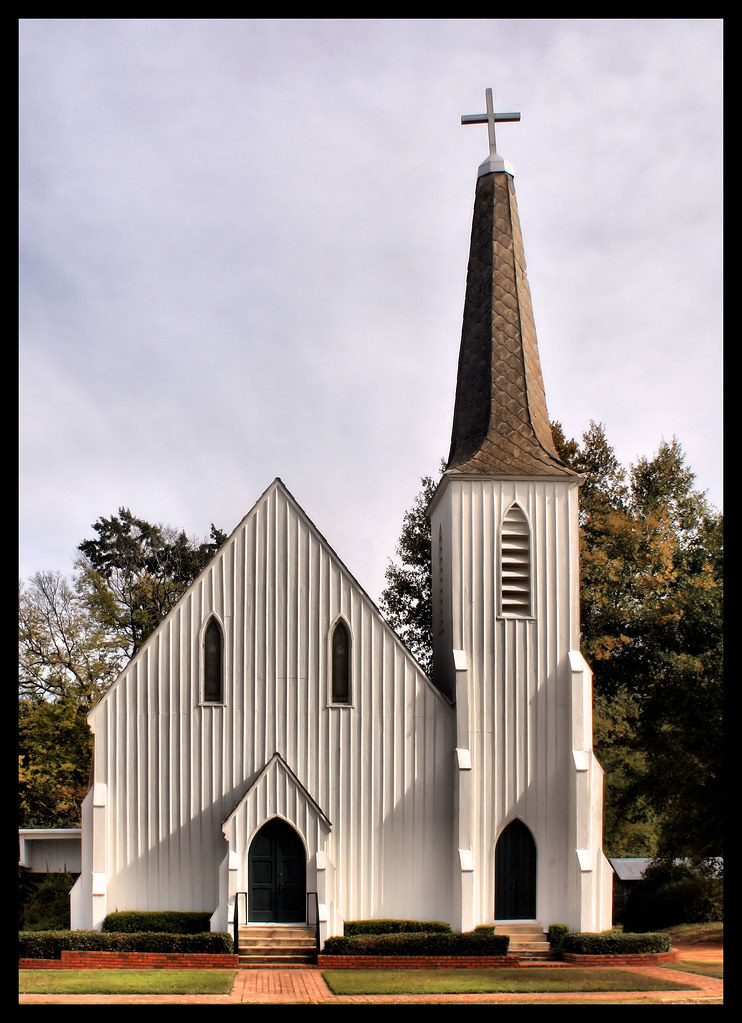
St. Paul's Episcopal Church Established 1856

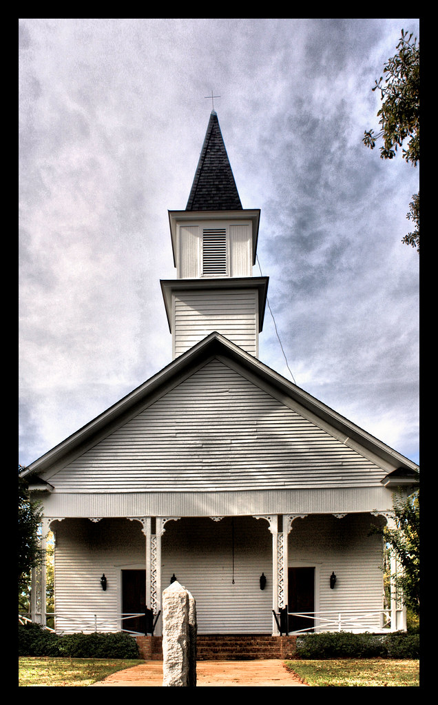
St. James Christian Methodist Episcopal Church
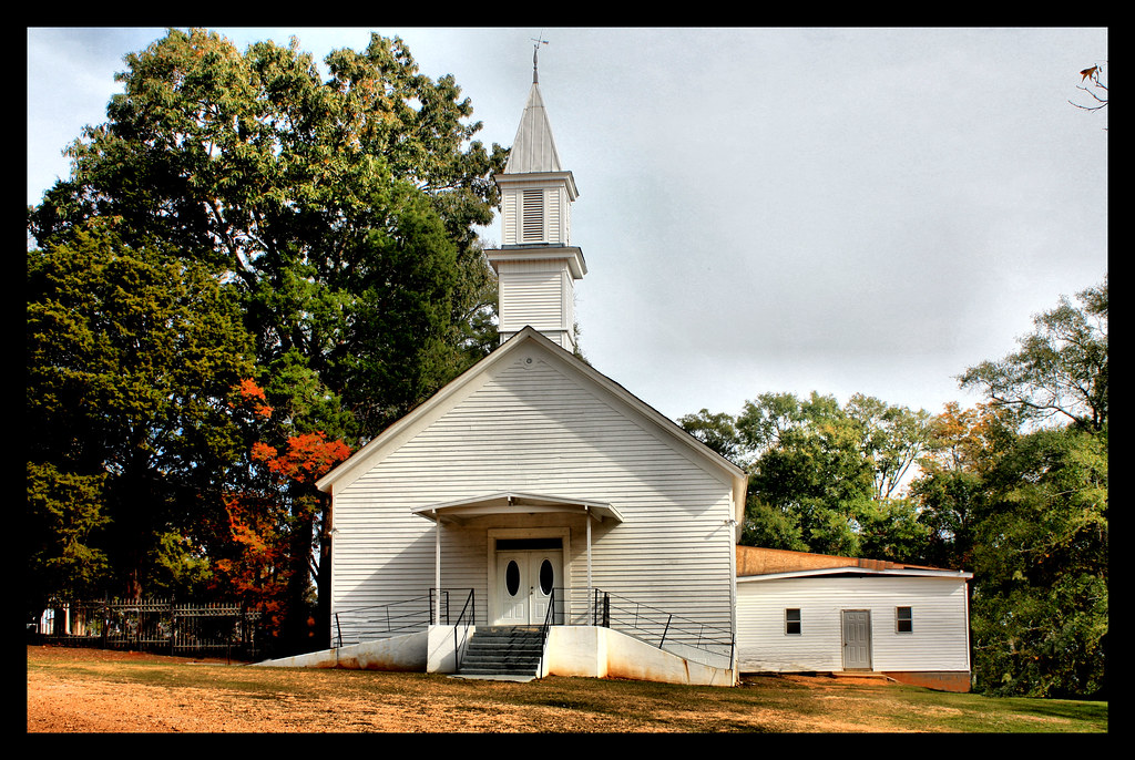
Lowndesboro Baptist Church Est 1888
Lowndesboro First Missionary Baptist Church
Lowndesboro Baptist Church Est 1888

St. Paul's Episcopal Church

Lowndesboro Presbyterian Church
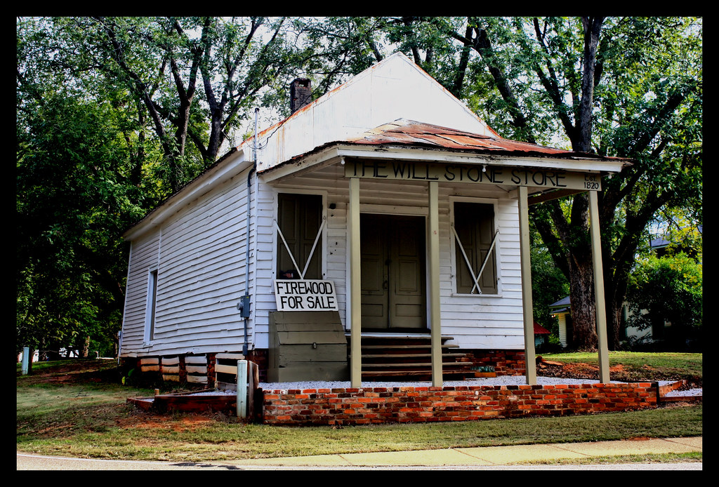
The Will Stone Store

#ALABAMA #Alwx #clouds
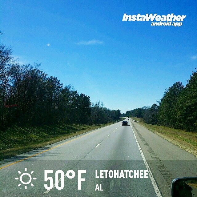
Photo made by Instaweather Free App! @instaweatherpro #instaweather #instaweatherpro #weather #wx #android #letohatchee #al #day #winter #clear #afternoon #hot #al
Topographic Map of Hayneville, AL, USA
Find elevation by address:
Places in Hayneville, AL, USA:
Places near Hayneville, AL, USA:
W Tuskeena St, Hayneville, AL, USA
Lowndes County
Lowndesboro
S Broad St, Lowndesboro, AL, USA
70 Judge Rd
Coker Rd, Hayneville, AL, USA
Co Rd 26, Hope Hull, AL, USA
Mason Rd, Hope Hull, AL, USA
Cantelou Rd, Montgomery, AL, USA
Selma Hwy, Montgomery, AL, USA
544 W Mclean Rd
W Hickory Grove Rd, Letohatchee, AL, USA
Bottlerock Road
Hope Hull
Prairie Creek Road
Eldorado Parkway
Woodcrest Dr, Montgomery, AL, USA
1524 Co Rd 75
Norman Bridge Rd, Montgomery, AL, USA
E Pleasant Grove Rd, Montgomery, AL, USA
Recent Searches:
- Elevation of 104, Chancery Road, Middletown Township, Bucks County, Pennsylvania, 19047, USA
- Elevation of 1212, Cypress Lane, Dayton, Liberty County, Texas, 77535, USA
- Elevation map of Central Hungary, Hungary
- Elevation map of Pest, Central Hungary, Hungary
- Elevation of Pilisszentkereszt, Pest, Central Hungary, Hungary
- Elevation of Dharamkot Tahsil, Punjab, India
- Elevation of Bhinder Khurd, Dharamkot Tahsil, Punjab, India
- Elevation of 2881, Chabot Drive, San Bruno, San Mateo County, California, 94066, USA
- Elevation of 10370, West 107th Circle, Westminster, Jefferson County, Colorado, 80021, USA
- Elevation of 611, Roman Road, Old Ford, Bow, London, England, E3 2RW, United Kingdom
- Elevation of 116, Beartown Road, Underhill, Chittenden County, Vermont, 05489, USA
- Elevation of Window Rock, Colfax County, New Mexico, 87714, USA
- Elevation of 4807, Rosecroft Street, Kempsville Gardens, Virginia Beach, Virginia, 23464, USA
- Elevation map of Matawinie, Quebec, Canada
- Elevation of Sainte-Émélie-de-l'Énergie, Matawinie, Quebec, Canada
- Elevation of Rue du Pont, Sainte-Émélie-de-l'Énergie, Matawinie, Quebec, J0K2K0, Canada
- Elevation of 8, Rue de Bécancour, Blainville, Thérèse-De Blainville, Quebec, J7B1N2, Canada
- Elevation of Wilmot Court North, 163, University Avenue West, Northdale, Waterloo, Region of Waterloo, Ontario, N2L6B6, Canada
- Elevation map of Panamá Province, Panama
- Elevation of Balboa, Panamá Province, Panama