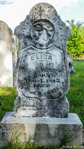
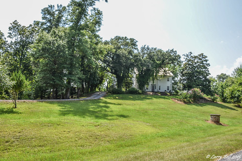
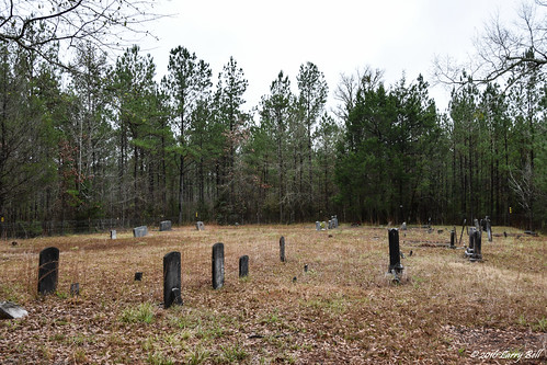
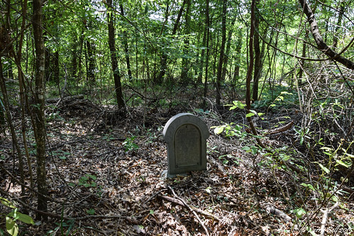
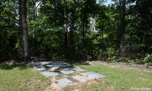
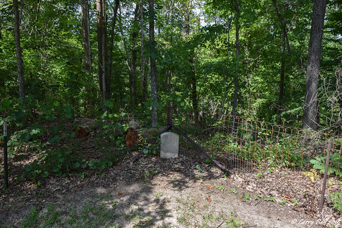
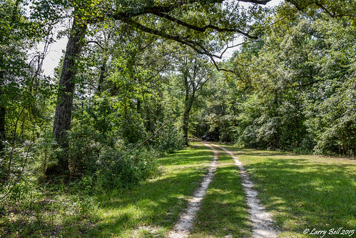
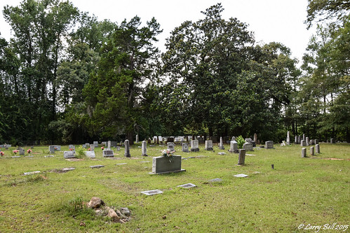
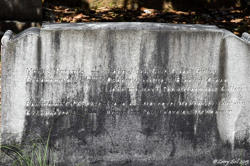
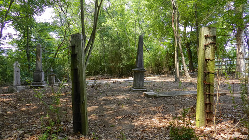
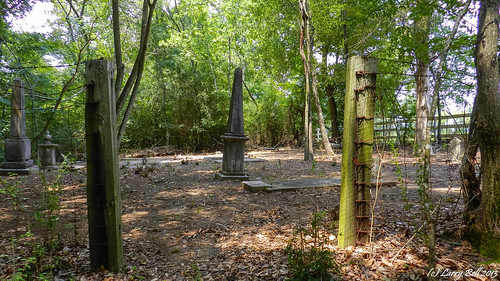
Elevation of Co Rd, Minter, AL, USA
Location: United States > Alabama > Dallas County > Minter >
Longitude: -86.9934
Latitude: 32.0937
Elevation: 57m / 187feet
Barometric Pressure: 101KPa
Related Photos:
Topographic Map of Co Rd, Minter, AL, USA
Find elevation by address:

Places near Co Rd, Minter, AL, USA:
Minter
Co Rd, Minter, AL, USA
Pleasant Hill
Pleasant Hill
Co Rd, Minter, AL, USA
Allenton Rd, Pine Apple, AL, USA
Allenton Rd, Pine Apple, AL, USA
Darlington Rd, Camden, AL, USA
AL-10, Pine Apple, AL, USA
Sardis
Dallas County
Co Rd, Orrville, AL, USA
Cedar Lawn Dr, Sardis, AL, USA
AL-10, Pine Apple, AL, USA
Pine Apple
AL-21, Pine Apple, AL, USA
US-80, Selma, AL, USA
Alabama
10 Co Rd 482
AL-10, Pine Apple, AL, USA
Recent Searches:
- Elevation of Corso Fratelli Cairoli, 35, Macerata MC, Italy
- Elevation of Tallevast Rd, Sarasota, FL, USA
- Elevation of 4th St E, Sonoma, CA, USA
- Elevation of Black Hollow Rd, Pennsdale, PA, USA
- Elevation of Oakland Ave, Williamsport, PA, USA
- Elevation of Pedrógão Grande, Portugal
- Elevation of Klee Dr, Martinsburg, WV, USA
- Elevation of Via Roma, Pieranica CR, Italy
- Elevation of Tavkvetili Mountain, Georgia
- Elevation of Hartfords Bluff Cir, Mt Pleasant, SC, USA

