Elevation of Plainville, IN, USA
Location: United States > Indiana > Daviess County > Steele Township >
Longitude: -87.1522338
Latitude: 38.8061583
Elevation: 143m / 469feet
Barometric Pressure: 0KPa
Related Photos:

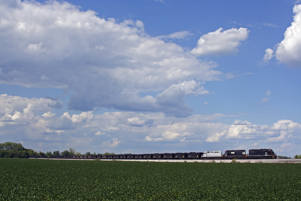
elnora_trailer_view
CEFX 6053 South

carmel-skies (2)
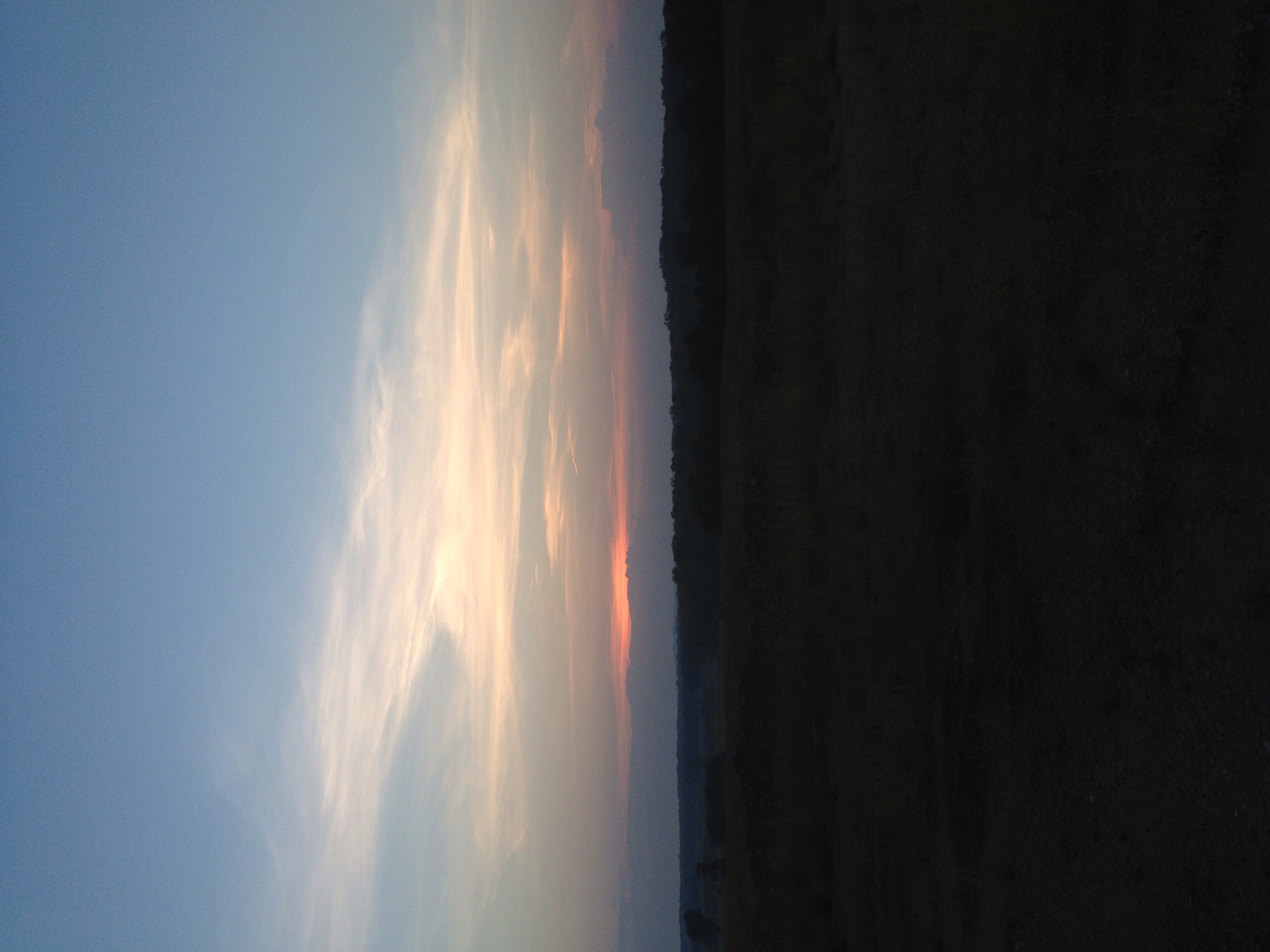
Indiana Surise
2011-12-31 14.51.26

carmel-cookout-3-31-2012 (3)
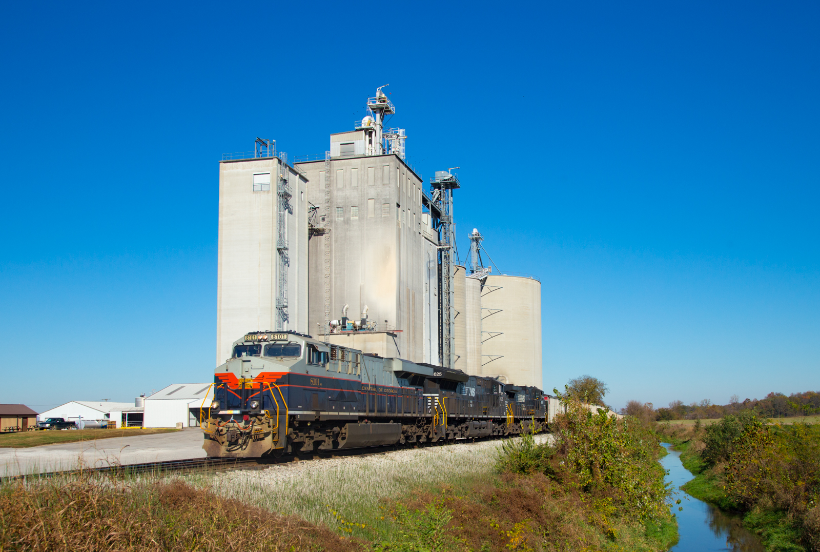
NS 8101 Graham IN 06 Nov 2016
Elnora, Indiana

halloween-2015 (1)

halloween-2015 (2)

halloween-2015 (3)

halloween-2015 (4)

halloween-2015 (5)

halloween-2015 (6)

halloween-2015 (7)
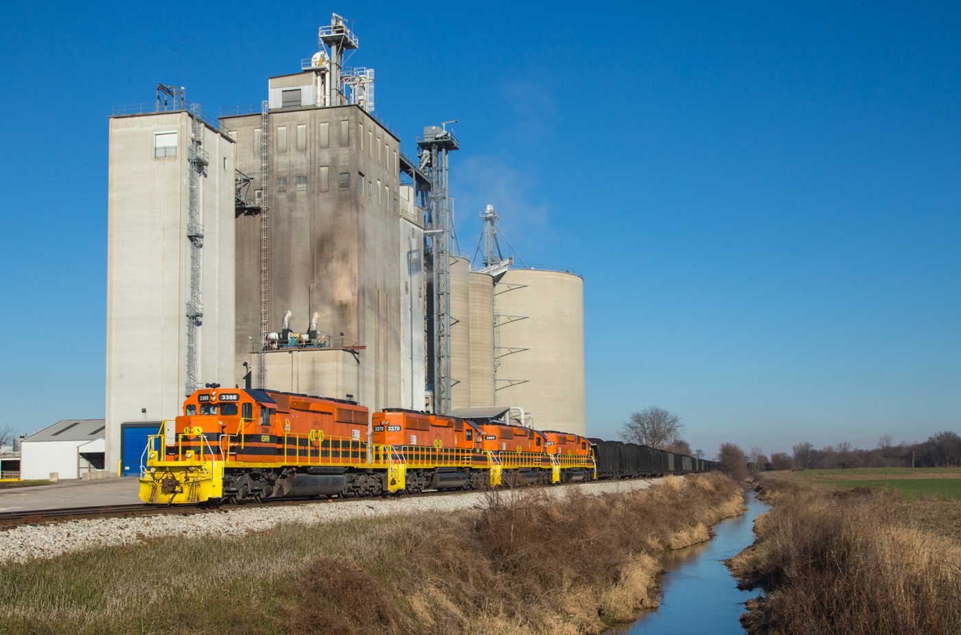
ISRR 3388 Graham IN 03 Jan 2016

ISRR 3388 Plainville IN 03 Jan 2016
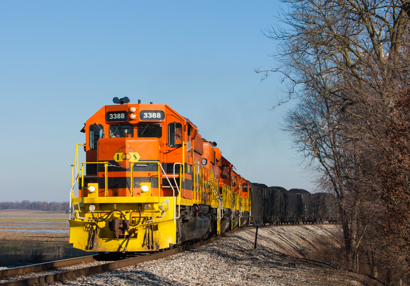
ISRR 3388 Elnora IN 03 Jan 2016
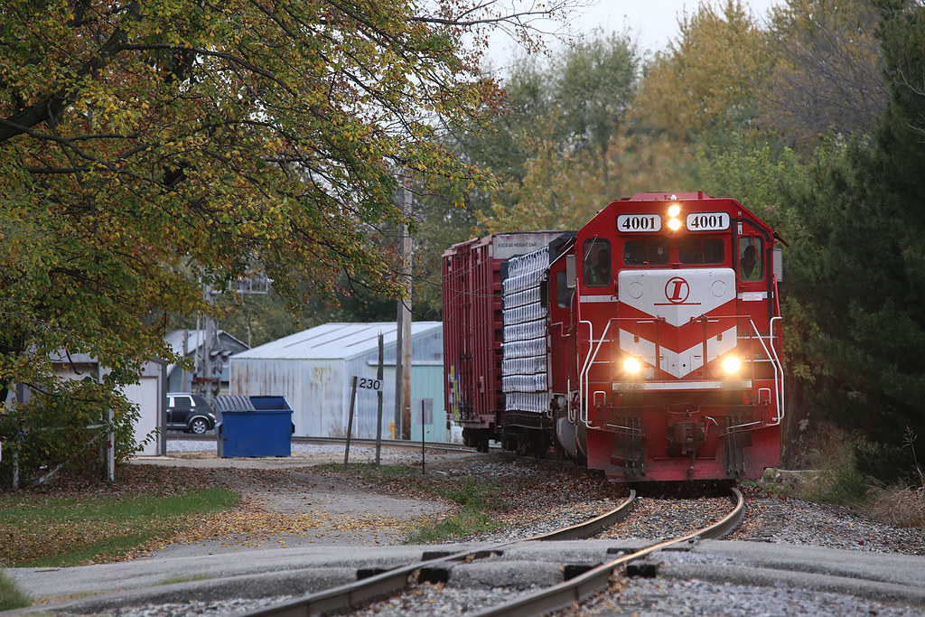
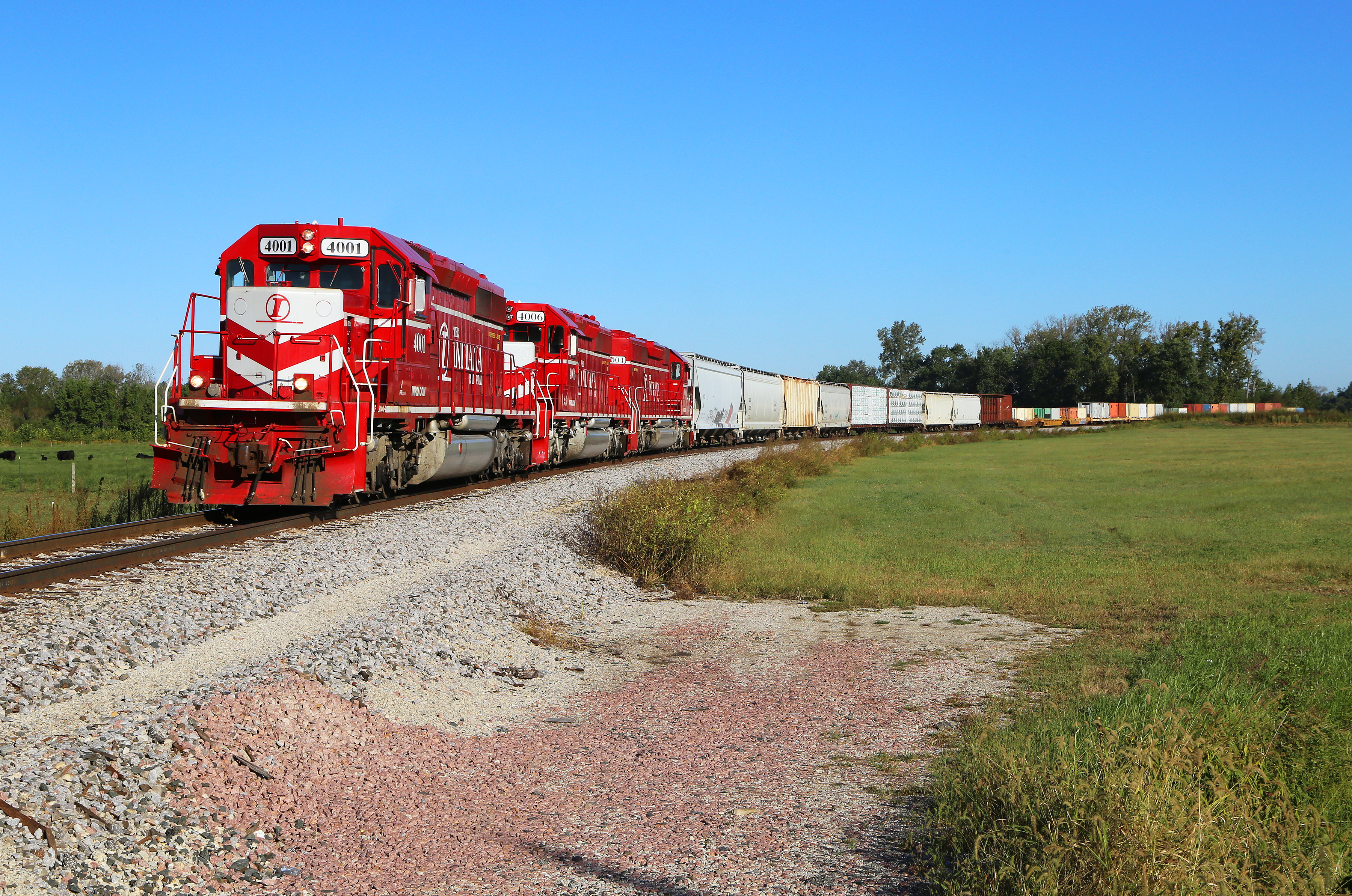
INRD #4001 Odon, Indiana

Some boys took a few minutes after work to invest in quality time at the park last night. A reminder of God's promises was our reward! Genesis 9:13 #Rainbow #Covenant
FTFL (2) 6-30-2015 by Tom Becker

FTFL and EAME (2) 6-30-2015 by Tom Becker

FTFL and EAME 6-30-2015
FTFL and EAKI 6-30-2015 by Tom Becker

Purple haze

eagle-flag

carm-skies- (4)
Topographic Map of Plainville, IN, USA
Find elevation by address:

Places in Plainville, IN, USA:
Places near Plainville, IN, USA:
Main St, Plainville, IN, USA
Elmore Township
Bogard Township
W N, Washington, IN, USA
N E, Plainville, IN, USA
Main St, Elnora, IN, USA
Elnora
Daviess County
1747 Bedford Rd
Washington Township
Washington
IN-67, Lyons, IN, USA
Odon
The Villages At Oak Ridge
Broad St, Newberry, IN, USA
Newberry
Montgomery
US-50, Montgomery, IN, USA
2518 E 200 S
Madison Township
Recent Searches:
- Elevation of Clifton Down, Clifton, Bristol, City of Bristol, England, BS8 3HU, United Kingdom
- Elevation map of Auvergne-Rhône-Alpes, France
- Elevation map of Upper Savoy, Auvergne-Rhône-Alpes, France
- Elevation of Chamonix-Mont-Blanc, Upper Savoy, Auvergne-Rhône-Alpes, France
- Elevation of 908, Northwood Drive, Bridge Field, Chesapeake, Virginia, 23322, USA
- Elevation map of Nagano Prefecture, Japan
- Elevation of 587, Bascule Drive, Oakdale, Stanislaus County, California, 95361, USA
- Elevation of Stadion Wankdorf, Sempachstrasse, Breitfeld, Bern, Bern-Mittelland administrative district, Bern, 3014, Switzerland
- Elevation of Z024, 76, Emil-von-Behring-Straße, Marbach, Marburg, Landkreis Marburg-Biedenkopf, Hesse, 35041, Germany
- Elevation of Gaskill Road, Hunts Cross, Liverpool, England, L24 9PH, United Kingdom
- Elevation of Speke, Liverpool, England, L24 9HD, United Kingdom
- Elevation of Seqirus, 475, Green Oaks Parkway, Holly Springs, Wake County, North Carolina, 27540, USA
- Elevation of Pasing, Munich, Bavaria, 81241, Germany
- Elevation of 24, Auburn Bay Crescent SE, Auburn Bay, Calgary, Alberta, T3M 0A6, Canada
- Elevation of Denver, 2314, Arapahoe Street, Five Points, Denver, Colorado, 80205, USA
- Elevation of Community of the Beatitudes, 2924, West 43rd Avenue, Sunnyside, Denver, Colorado, 80211, USA
- Elevation map of Litang County, Sichuan, China
- Elevation map of Madoi County, Qinghai, China
- Elevation of 3314, Ohio State Route 114, Payne, Paulding County, Ohio, 45880, USA
- Elevation of Sarahills Drive, Saratoga, Santa Clara County, California, 95070, USA