Elevation of Main St, Plainville, IN, USA
Location: United States > Indiana > Daviess County > Steele Township > Plainville >
Longitude: -87.1522169
Latitude: 38.806131
Elevation: 143m / 469feet
Barometric Pressure: 0KPa
Related Photos:

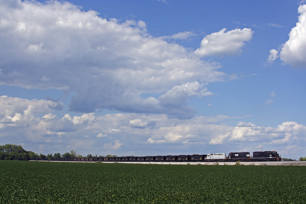
elnora_trailer_view
CEFX 6053 South
2011-12-31 14.51.26

carmel-skies (2)

Indiana Surise

carmel-cookout-3-31-2012 (3)
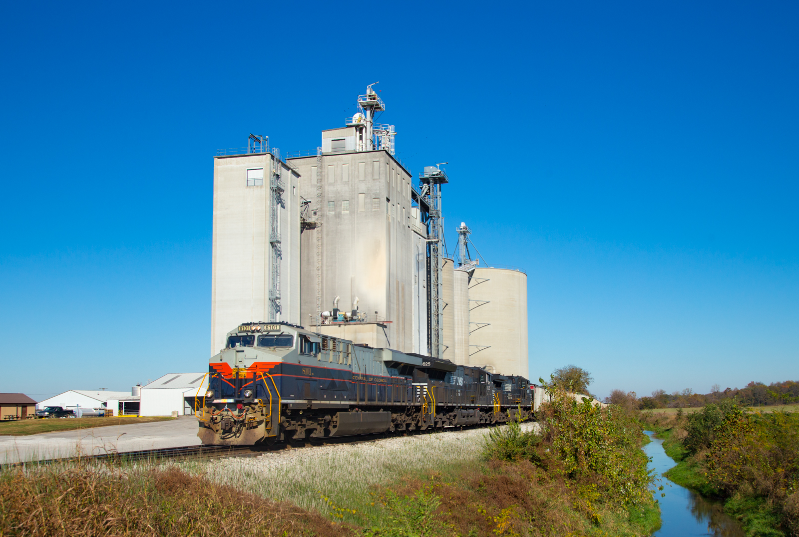
NS 8101 Graham IN 06 Nov 2016
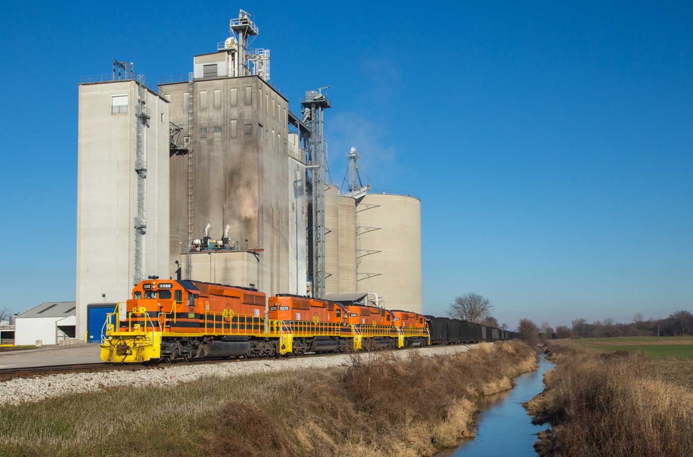
ISRR 3388 Graham IN 03 Jan 2016

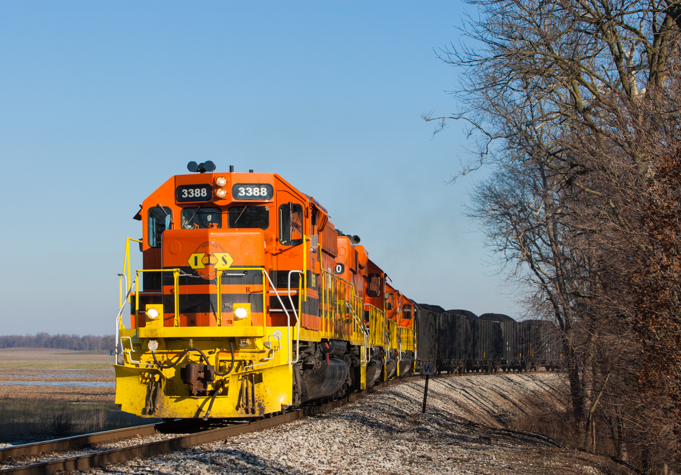
ISRR 3388 Plainville IN 03 Jan 2016
ISRR 3388 Elnora IN 03 Jan 2016
Elnora, Indiana

halloween-2015 (1)

halloween-2015 (2)

halloween-2015 (3)

halloween-2015 (4)

halloween-2015 (5)

halloween-2015 (6)

halloween-2015 (7)
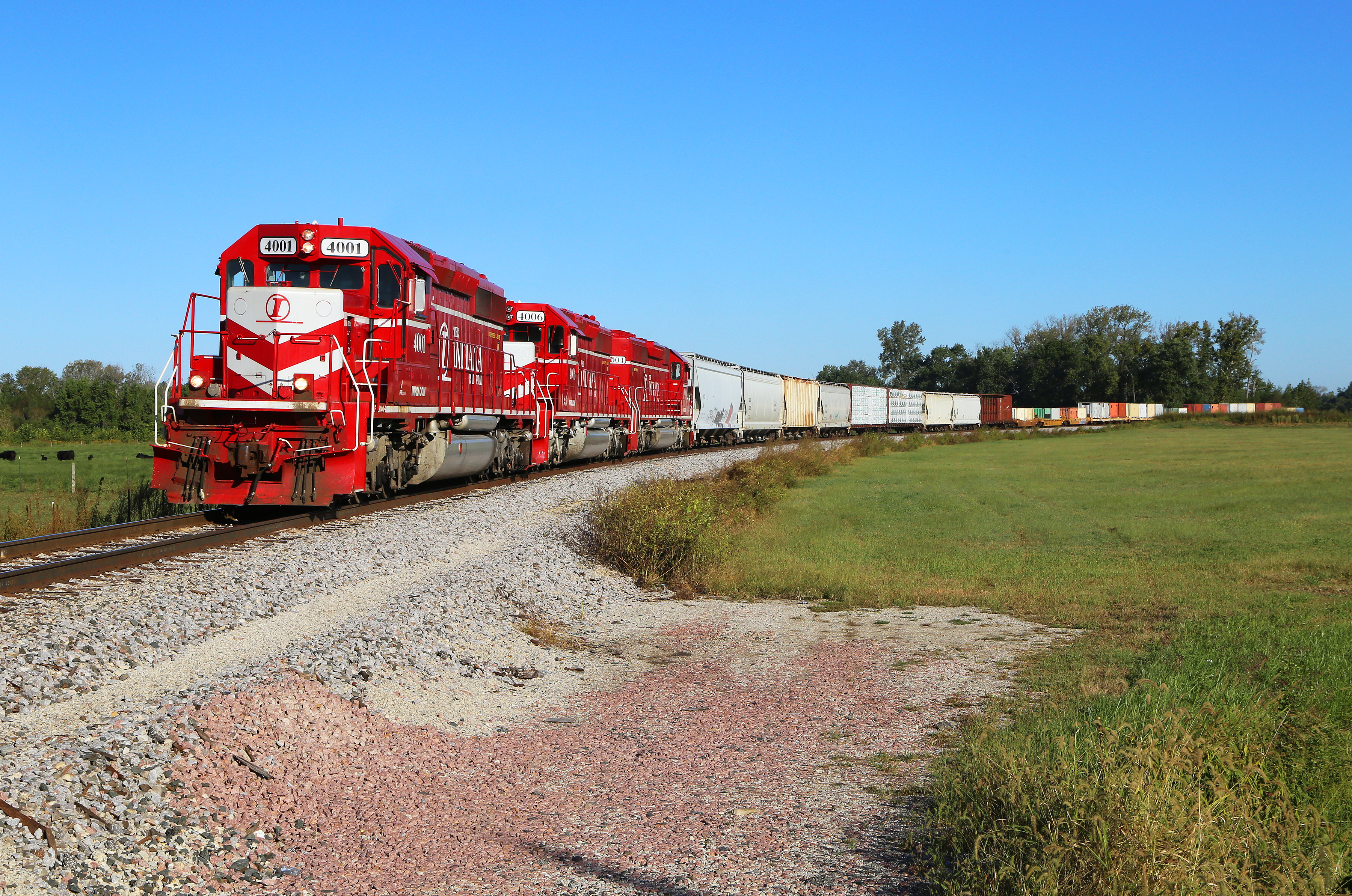
INRD #4001 Odon, Indiana

Some boys took a few minutes after work to invest in quality time at the park last night. A reminder of God's promises was our reward! Genesis 9:13 #Rainbow #Covenant
FTFL (2) 6-30-2015 by Tom Becker

FTFL and EAME (2) 6-30-2015 by Tom Becker

FTFL and EAME 6-30-2015
FTFL and EAKI 6-30-2015 by Tom Becker

Purple haze

eagle-flag
Topographic Map of Main St, Plainville, IN, USA
Find elevation by address:

Places near Main St, Plainville, IN, USA:
Plainville
Elmore Township
Bogard Township
W N, Washington, IN, USA
N E, Plainville, IN, USA
Main St, Elnora, IN, USA
Elnora
Daviess County
1747 Bedford Rd
Washington Township
Washington
IN-67, Lyons, IN, USA
Odon
The Villages At Oak Ridge
Broad St, Newberry, IN, USA
Newberry
Montgomery
US-50, Montgomery, IN, USA
2518 E 200 S
Madison Township
Recent Searches:
- Elevation of Clifton Down, Clifton, Bristol, City of Bristol, England, BS8 3HU, United Kingdom
- Elevation map of Auvergne-Rhône-Alpes, France
- Elevation map of Upper Savoy, Auvergne-Rhône-Alpes, France
- Elevation of Chamonix-Mont-Blanc, Upper Savoy, Auvergne-Rhône-Alpes, France
- Elevation of 908, Northwood Drive, Bridge Field, Chesapeake, Virginia, 23322, USA
- Elevation map of Nagano Prefecture, Japan
- Elevation of 587, Bascule Drive, Oakdale, Stanislaus County, California, 95361, USA
- Elevation of Stadion Wankdorf, Sempachstrasse, Breitfeld, Bern, Bern-Mittelland administrative district, Bern, 3014, Switzerland
- Elevation of Z024, 76, Emil-von-Behring-Straße, Marbach, Marburg, Landkreis Marburg-Biedenkopf, Hesse, 35041, Germany
- Elevation of Gaskill Road, Hunts Cross, Liverpool, England, L24 9PH, United Kingdom
- Elevation of Speke, Liverpool, England, L24 9HD, United Kingdom
- Elevation of Seqirus, 475, Green Oaks Parkway, Holly Springs, Wake County, North Carolina, 27540, USA
- Elevation of Pasing, Munich, Bavaria, 81241, Germany
- Elevation of 24, Auburn Bay Crescent SE, Auburn Bay, Calgary, Alberta, T3M 0A6, Canada
- Elevation of Denver, 2314, Arapahoe Street, Five Points, Denver, Colorado, 80205, USA
- Elevation of Community of the Beatitudes, 2924, West 43rd Avenue, Sunnyside, Denver, Colorado, 80211, USA
- Elevation map of Litang County, Sichuan, China
- Elevation map of Madoi County, Qinghai, China
- Elevation of 3314, Ohio State Route 114, Payne, Paulding County, Ohio, 45880, USA
- Elevation of Sarahills Drive, Saratoga, Santa Clara County, California, 95070, USA