Elevation of Plainfield, VT, USA
Location: United States > Vermont > Washington County >
Longitude: -72.426492
Latitude: 44.2781151
Elevation: 232m / 761feet
Barometric Pressure: 99KPa
Elevation Map:
Satellite Map:
Related Photos:

Kettle Pond Autunm
Before the First Snow

D708 Montpelier Vermont ©

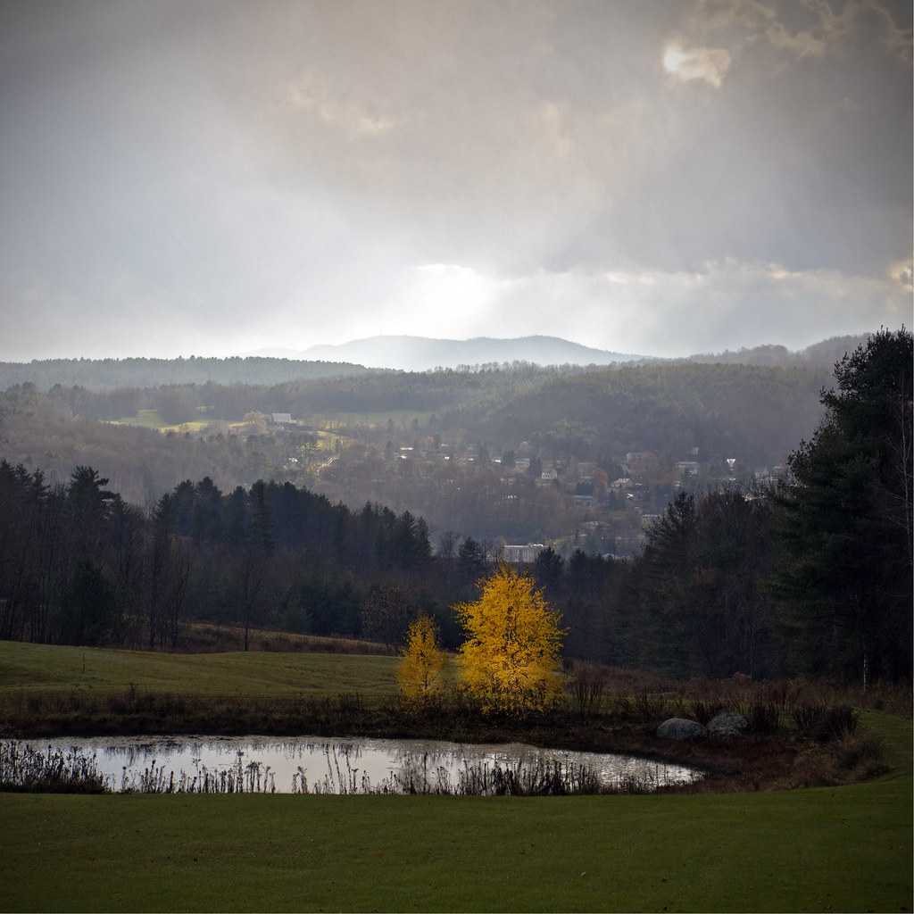
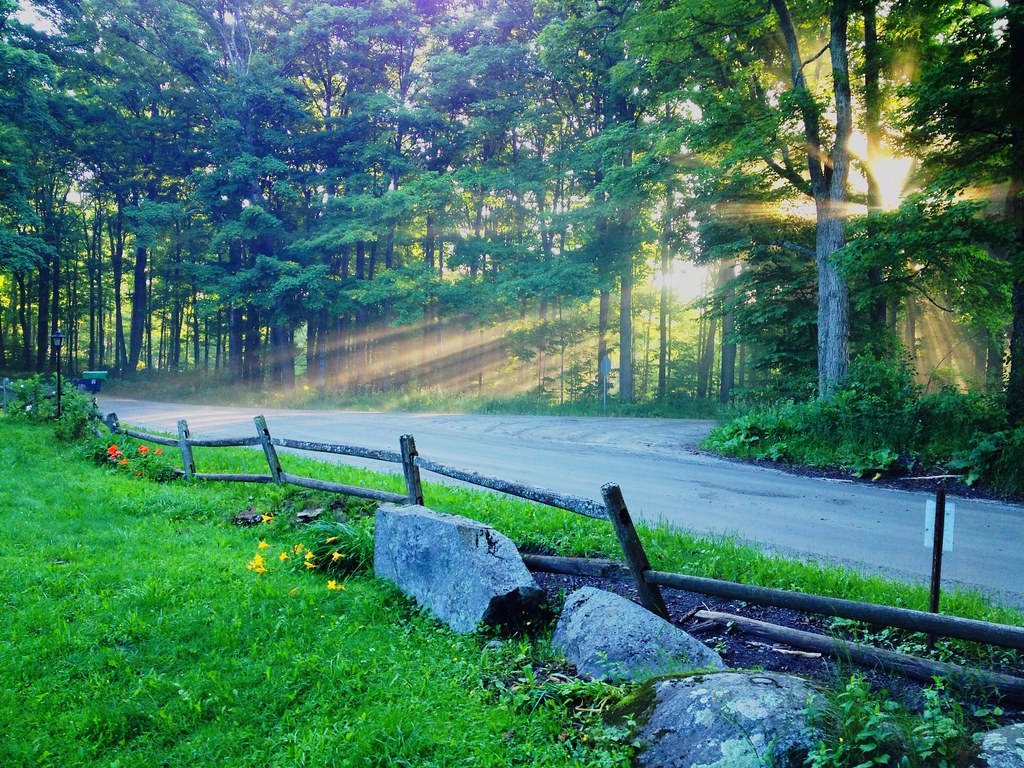
Morning sun rise view

Monrning view with clouds
Secret ledge
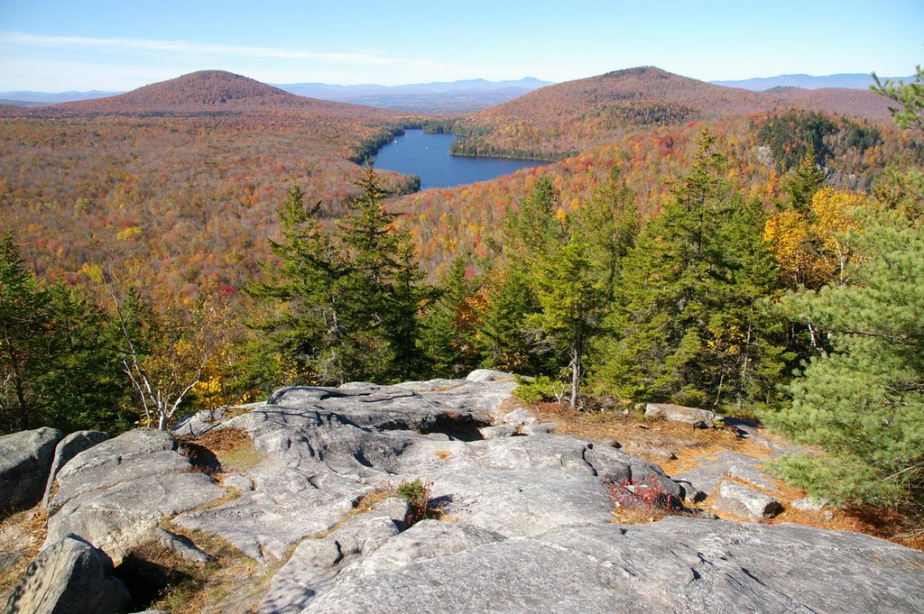
Spruce Mountain, Vermont

Owl's Head
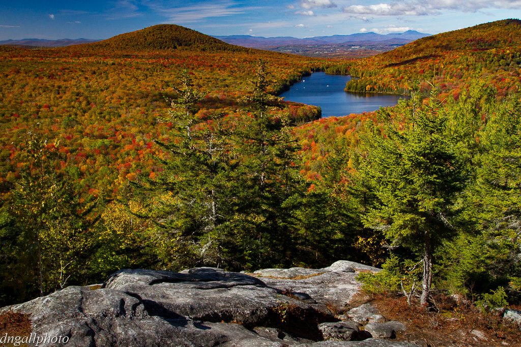
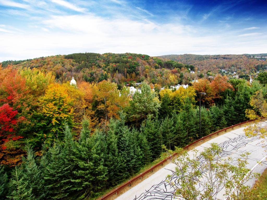
Colorful Overlook
Vermont Vista

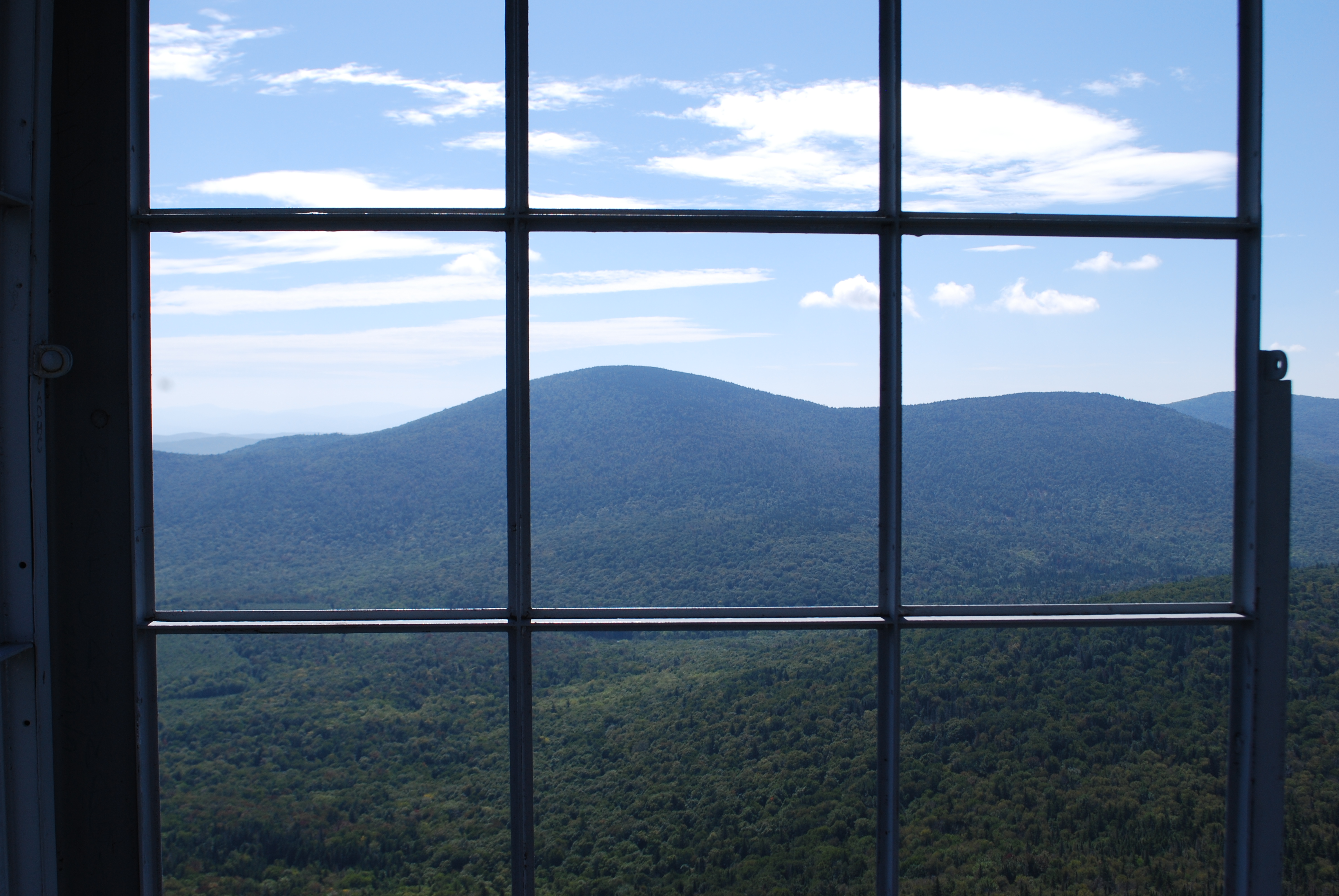
The view from Hubbard Park tower
Stowe Free Library
Montpelier Sunset

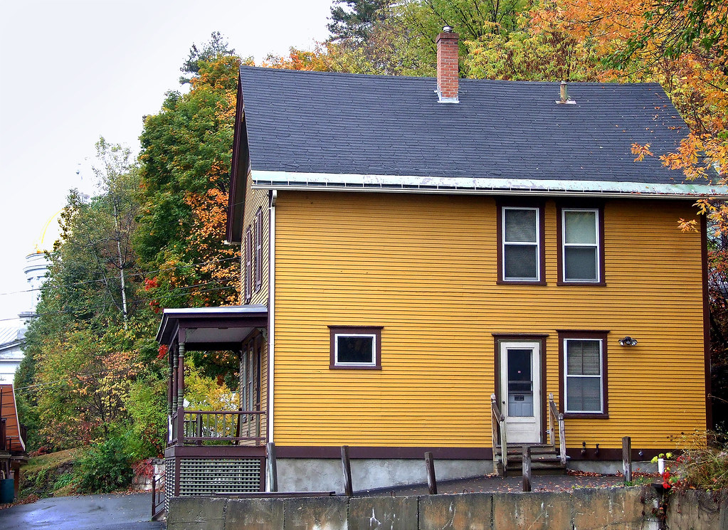
Old Barre Vermont Mural

Morning sun rise view
D709 Montpelier Vermont ©
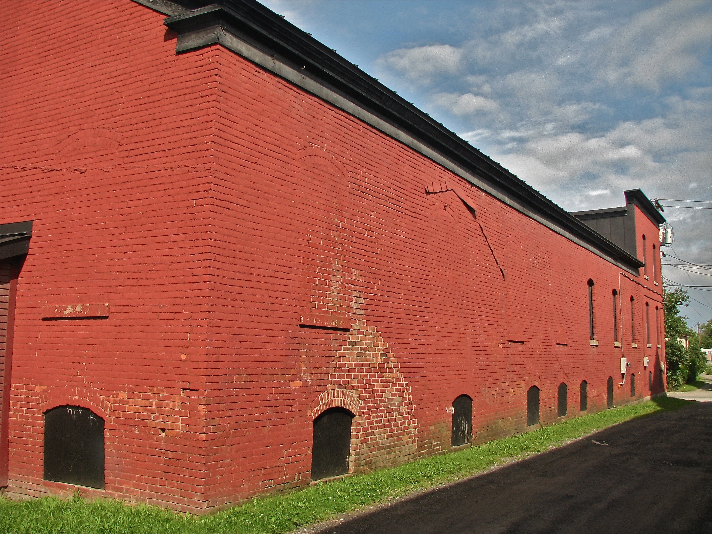
Socialist Labor Party Hall (1900) – northeast view
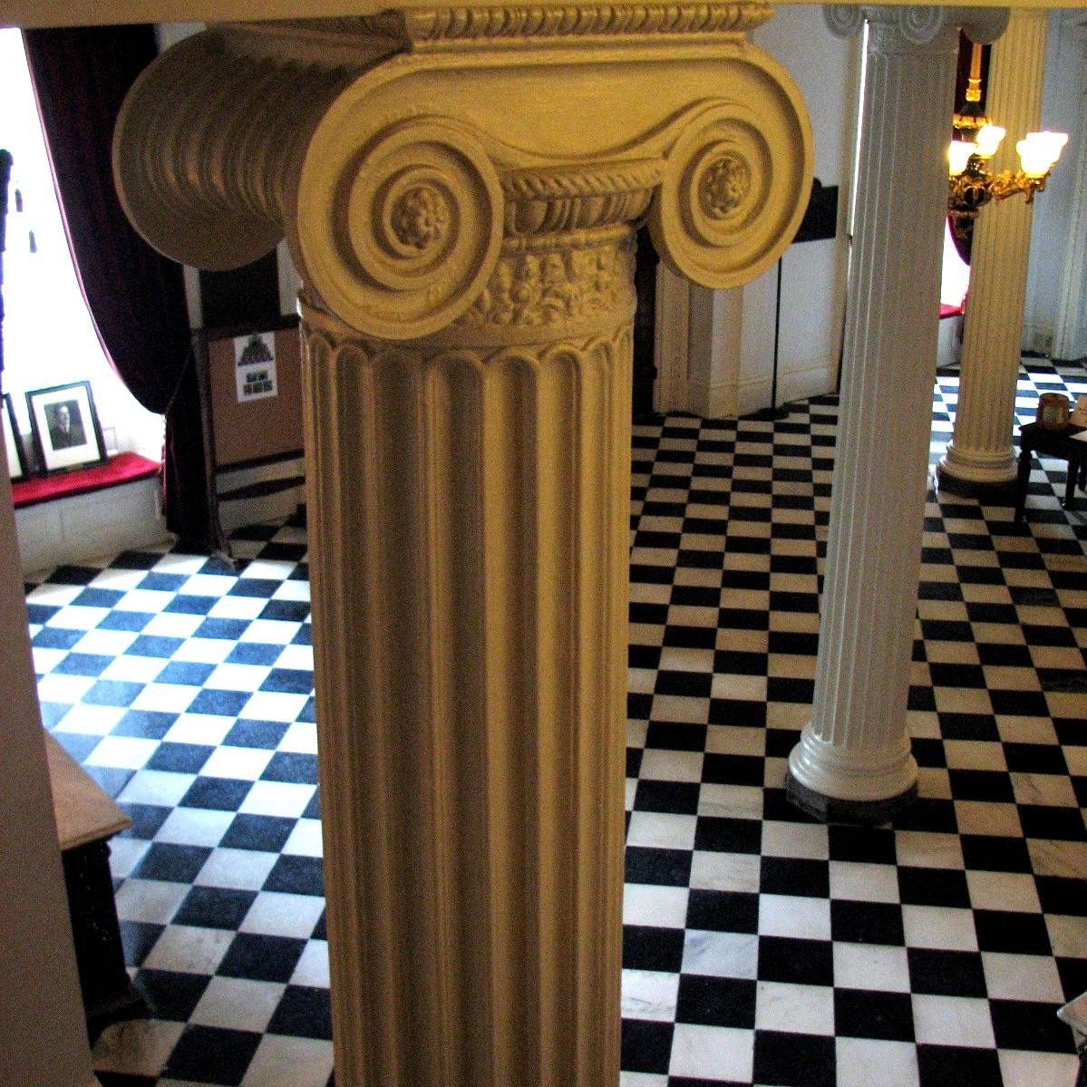
lobby • columns
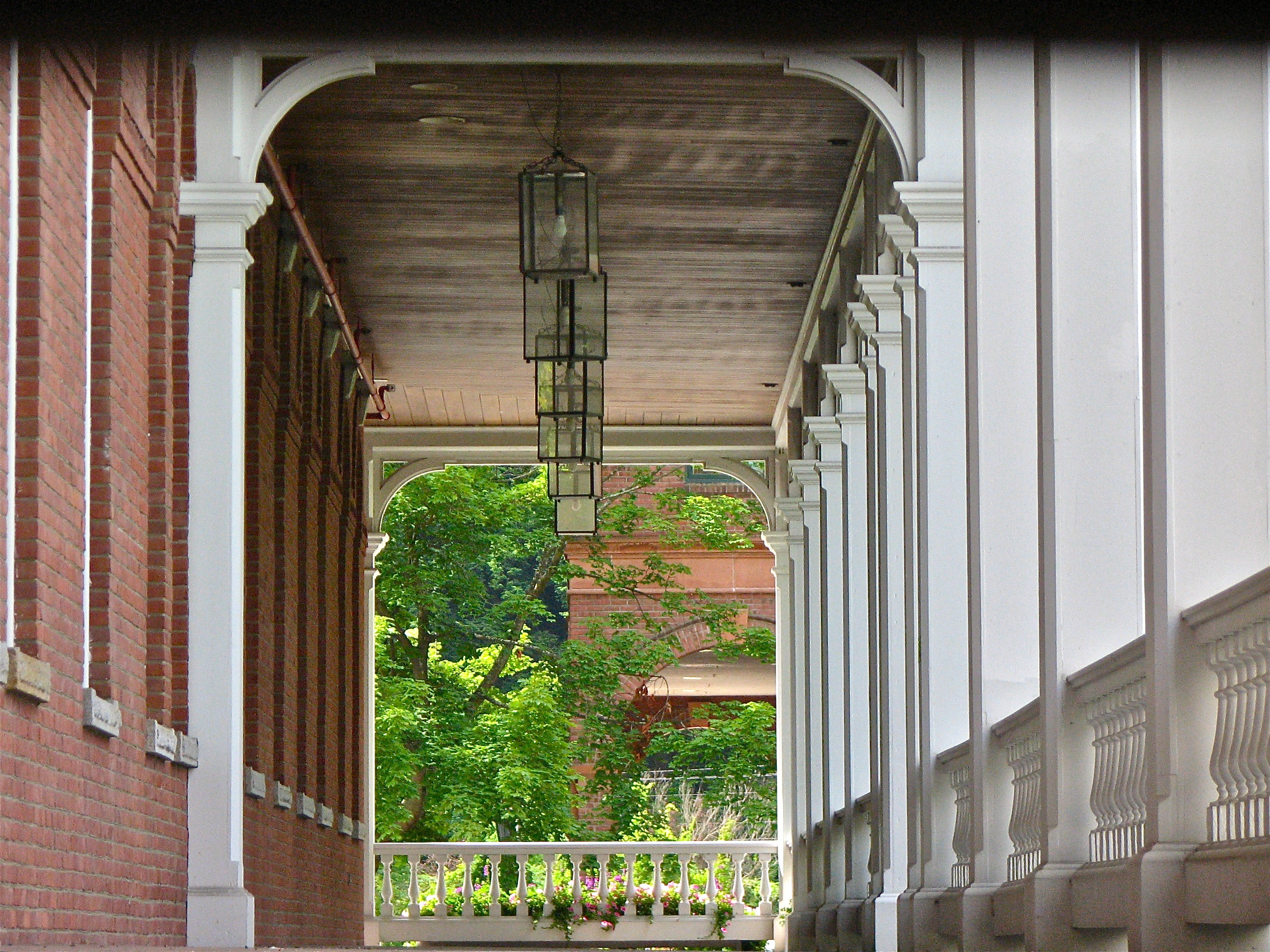
mouse-eye • view

Spruce Mountain, Vermont
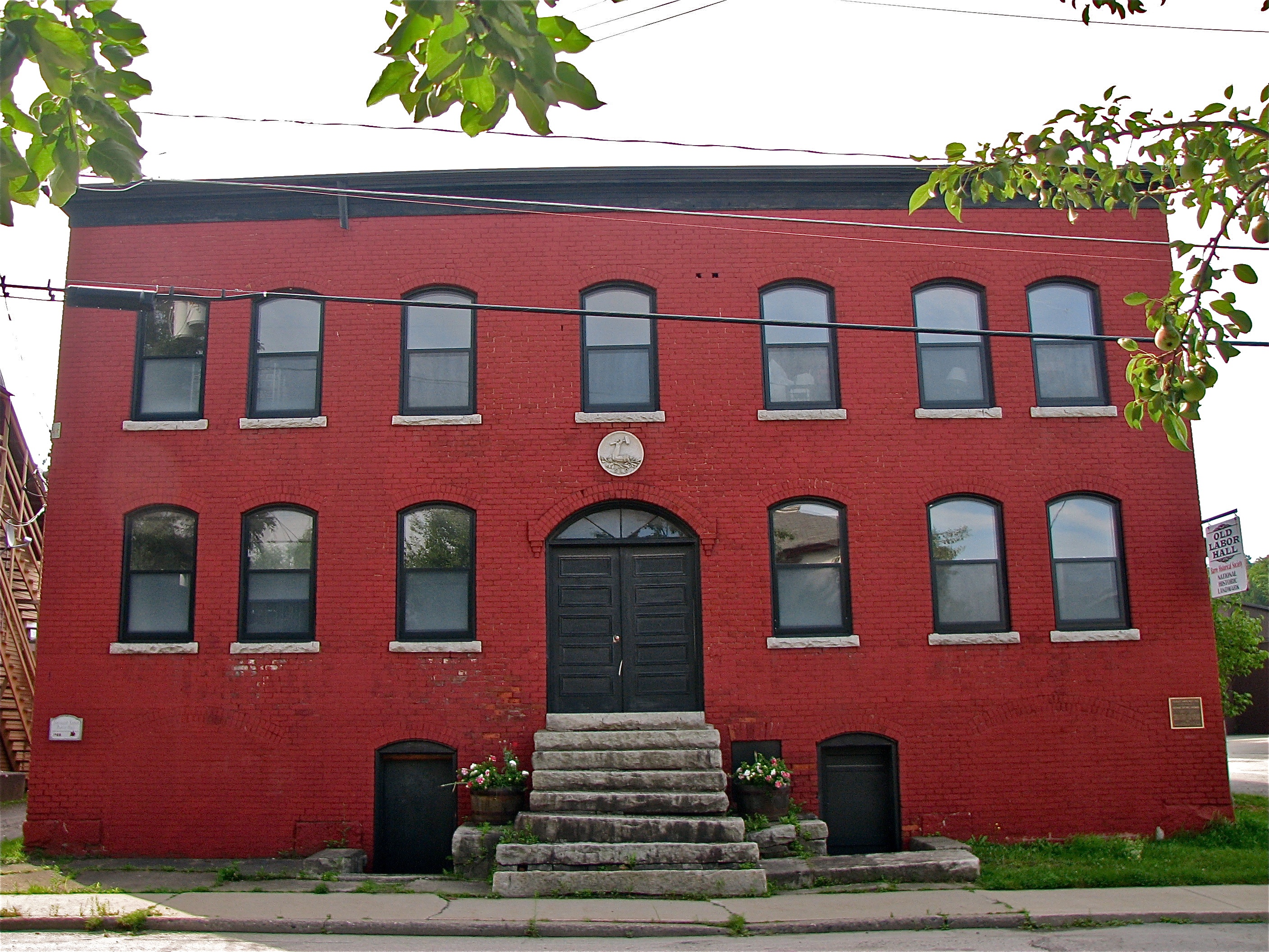
Socialist Labor Party Hall (1900) – front view

October Evening
Center Rd.

Center Road
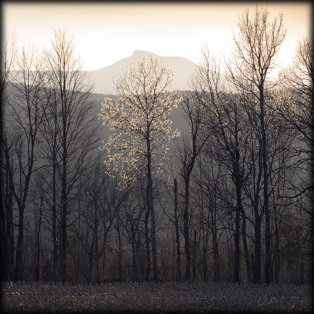
Camels Hump in Springtime

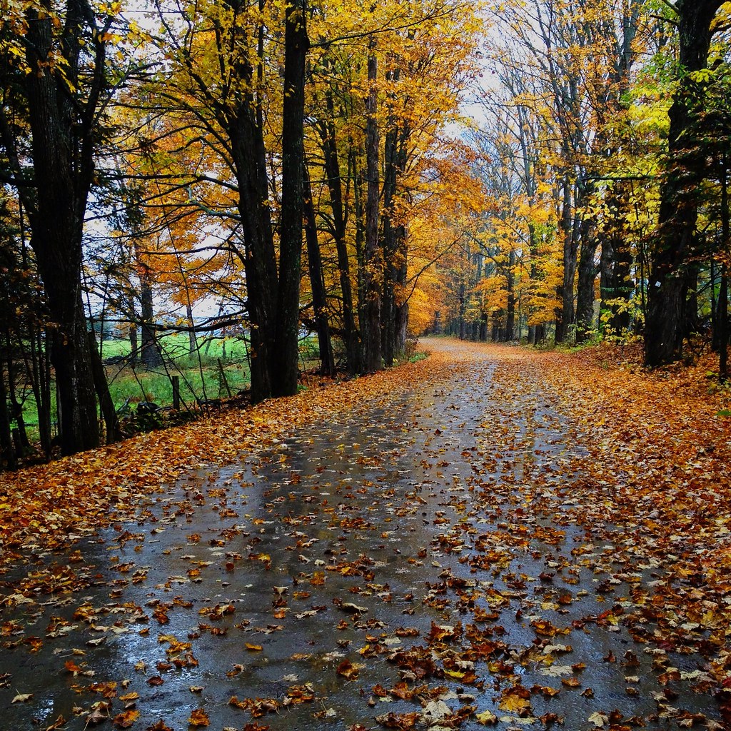
Autumn on the Center Road
Fall colors
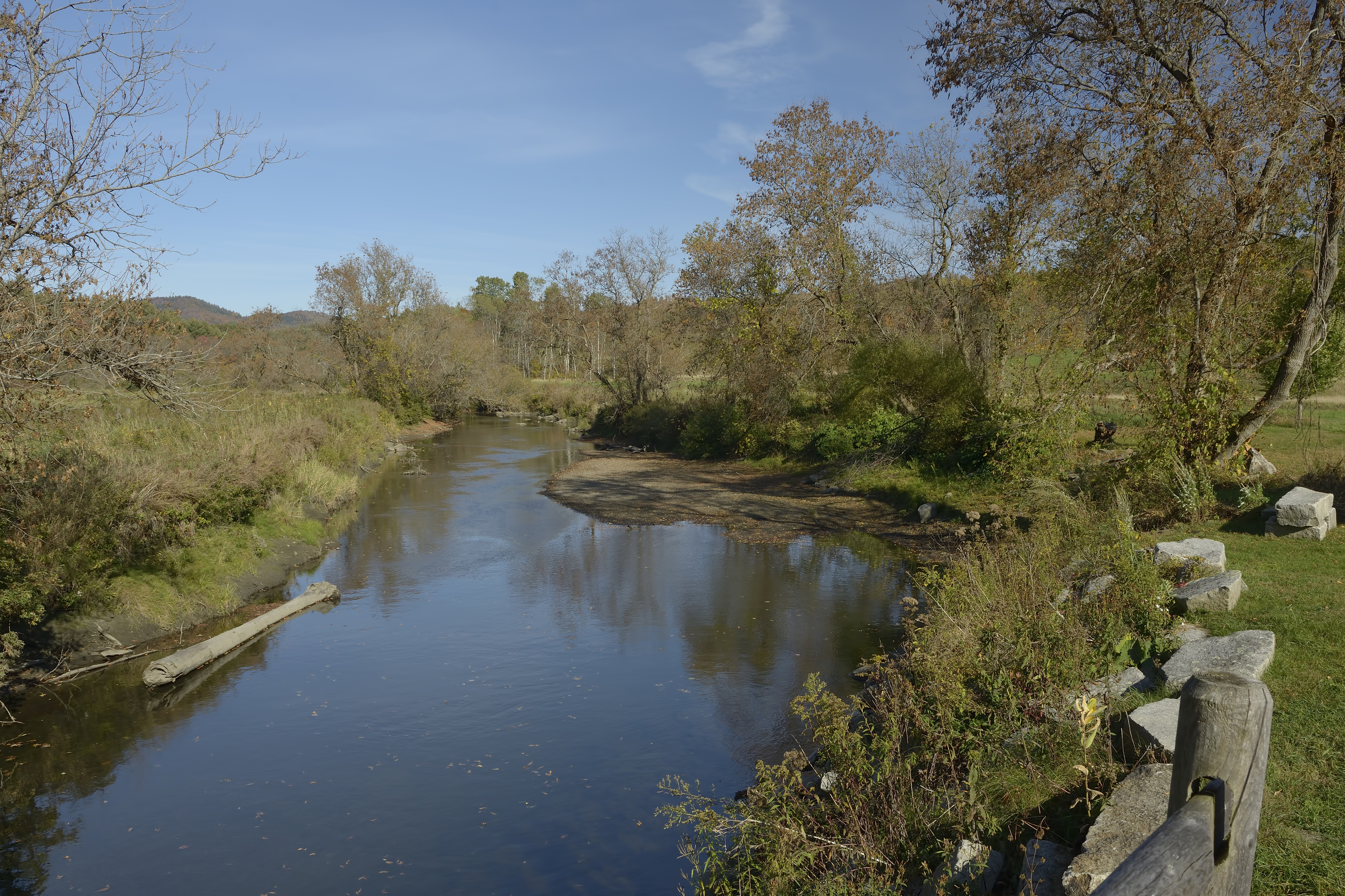
Winooski River Marshfield Vermont
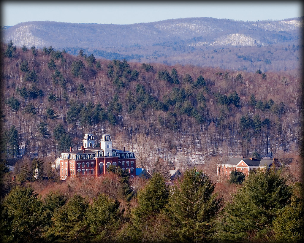
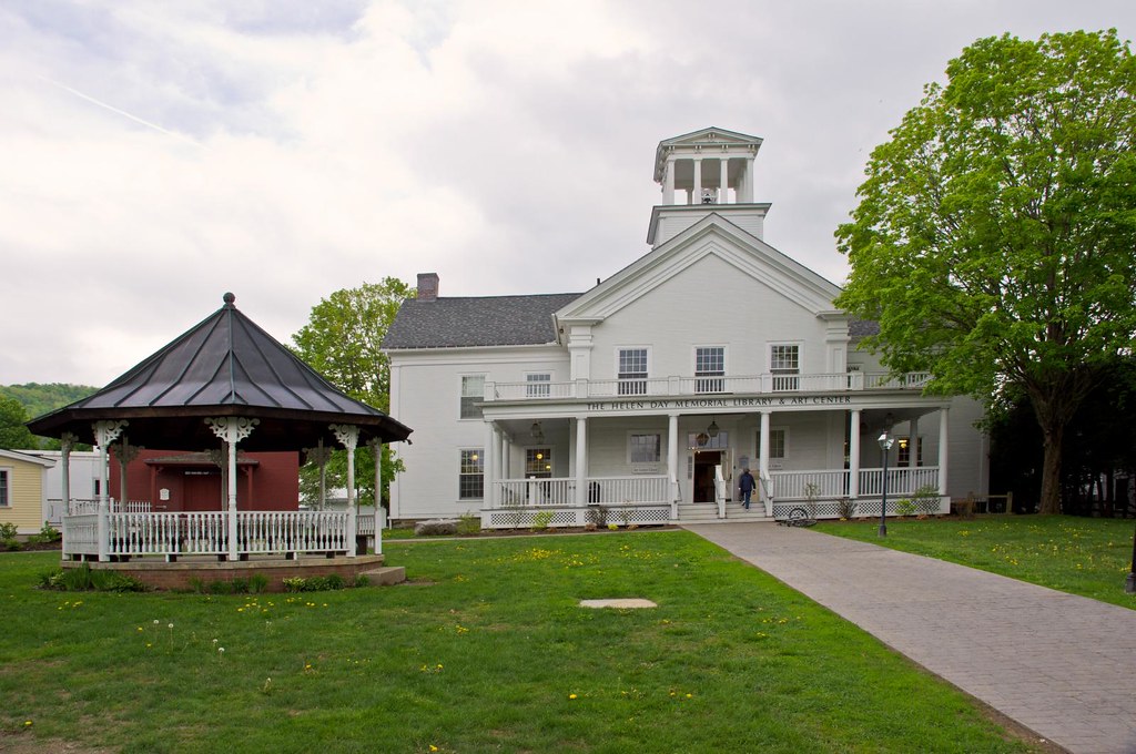
Vermont College

Its a double rainbow all the way across the sky! Also... Holy fuck. Downpours.

Winter mist
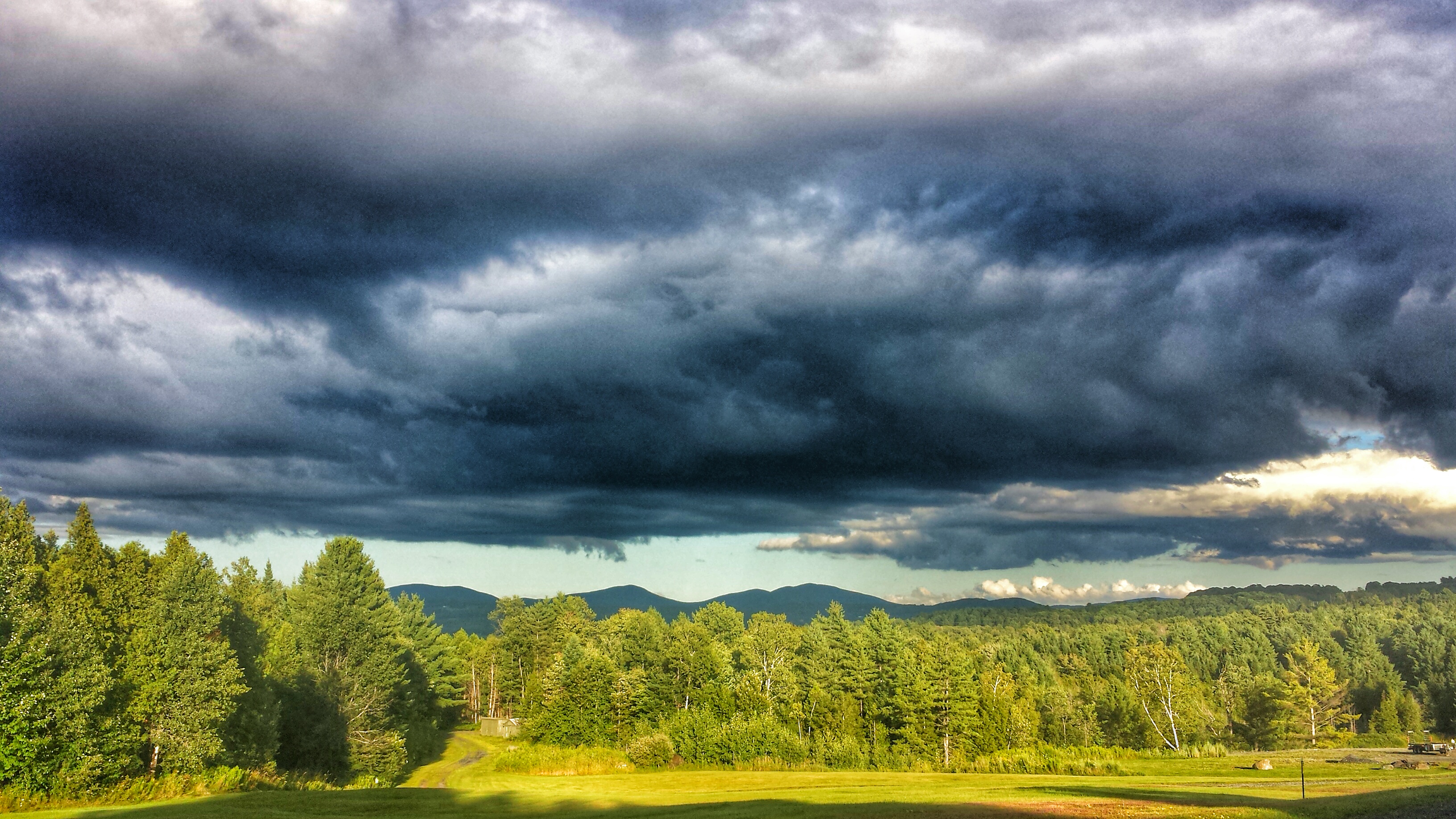
Cloud drama
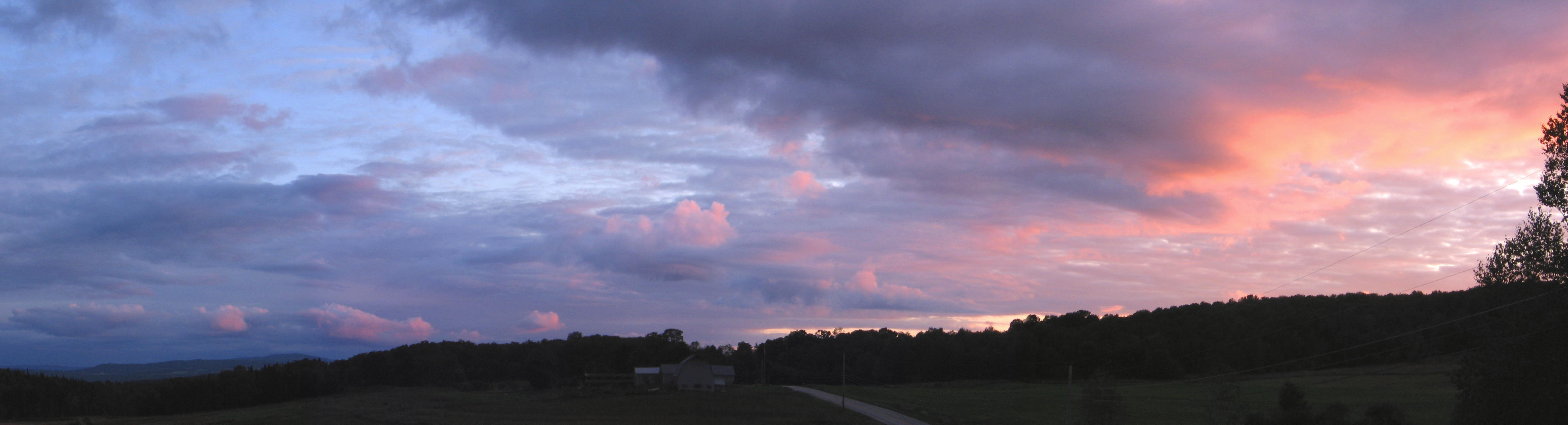
Vermont Sky

Templeton Rd Foliage

February snowfall

Montpelier Canal (In Color)
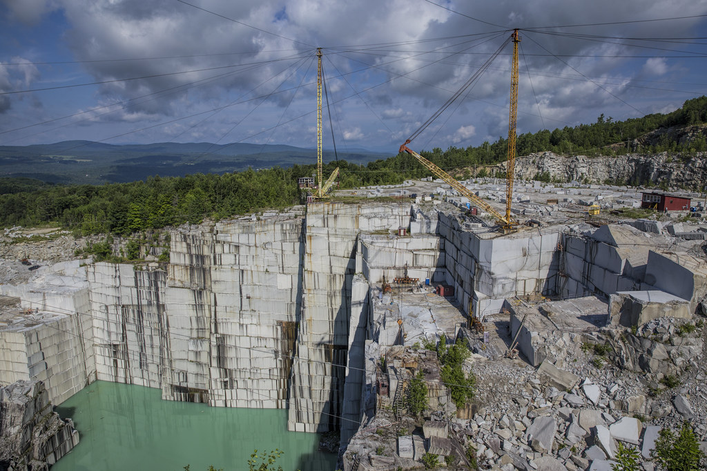
E.L. Smith Quarry - Barre, Vermont

Two as One square

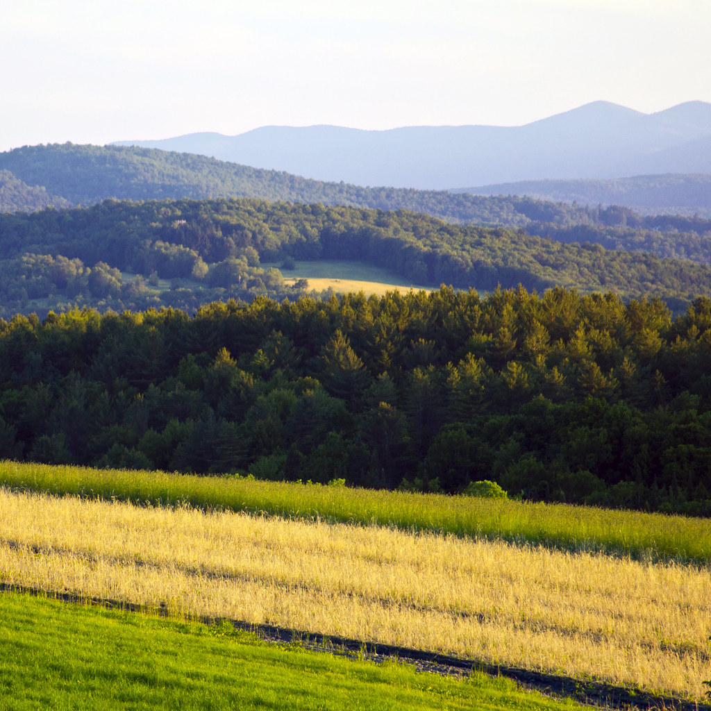
Field of Gold
More of June 2013
Topographic Map of Plainfield, VT, USA
Find elevation by address:

Places in Plainfield, VT, USA:
Places near Plainfield, VT, USA:
175 Creamery St
6 Sugarwood Rd
Orchard Valley Waldorf School
4239 Us-2
470 Hammett Hill Rd
142 Drake Rd
357 Vt-14
US-2, East Montpelier, VT, USA
East Montpelier
2802 Vt-14
21 Curtis Rd
21 Curtis Rd
149 Sunset Rd
420 Windywood Rd
363 Windywood Rd
26 Pine Ridge Rd
3180 Towne Hill Rd
360 Cutler Corner Rd
Windywood Road
5 Belding Rd
Recent Searches:
- Elevation of Corso Fratelli Cairoli, 35, Macerata MC, Italy
- Elevation of Tallevast Rd, Sarasota, FL, USA
- Elevation of 4th St E, Sonoma, CA, USA
- Elevation of Black Hollow Rd, Pennsdale, PA, USA
- Elevation of Oakland Ave, Williamsport, PA, USA
- Elevation of Pedrógão Grande, Portugal
- Elevation of Klee Dr, Martinsburg, WV, USA
- Elevation of Via Roma, Pieranica CR, Italy
- Elevation of Tavkvetili Mountain, Georgia
- Elevation of Hartfords Bluff Cir, Mt Pleasant, SC, USA