Elevation of 26 Pine Ridge Rd, Barre, VT, USA
Location: United States > Vermont > Washington County > Barre >
Longitude: -72.487992
Latitude: 44.229553
Elevation: 290m / 951feet
Barometric Pressure: 98KPa
Elevation Map:
Satellite Map:
Related Photos:

Slaughter House Covered Bridge

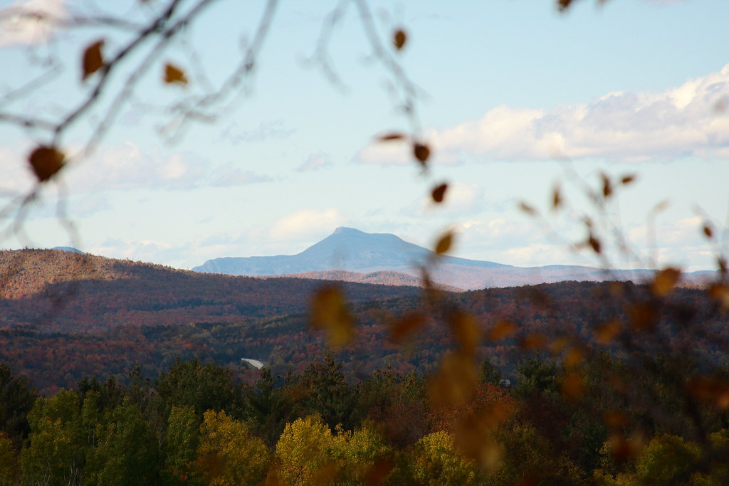
Camel's Hump through a glass paine

Looking Southeast from Hubbard Tower

Vermont History Center

Wrightsville Reservoir
View of Camel's Hump

Vermont Vista

Monrning view with clouds

Spruce Mountain, Vermont

Boston view
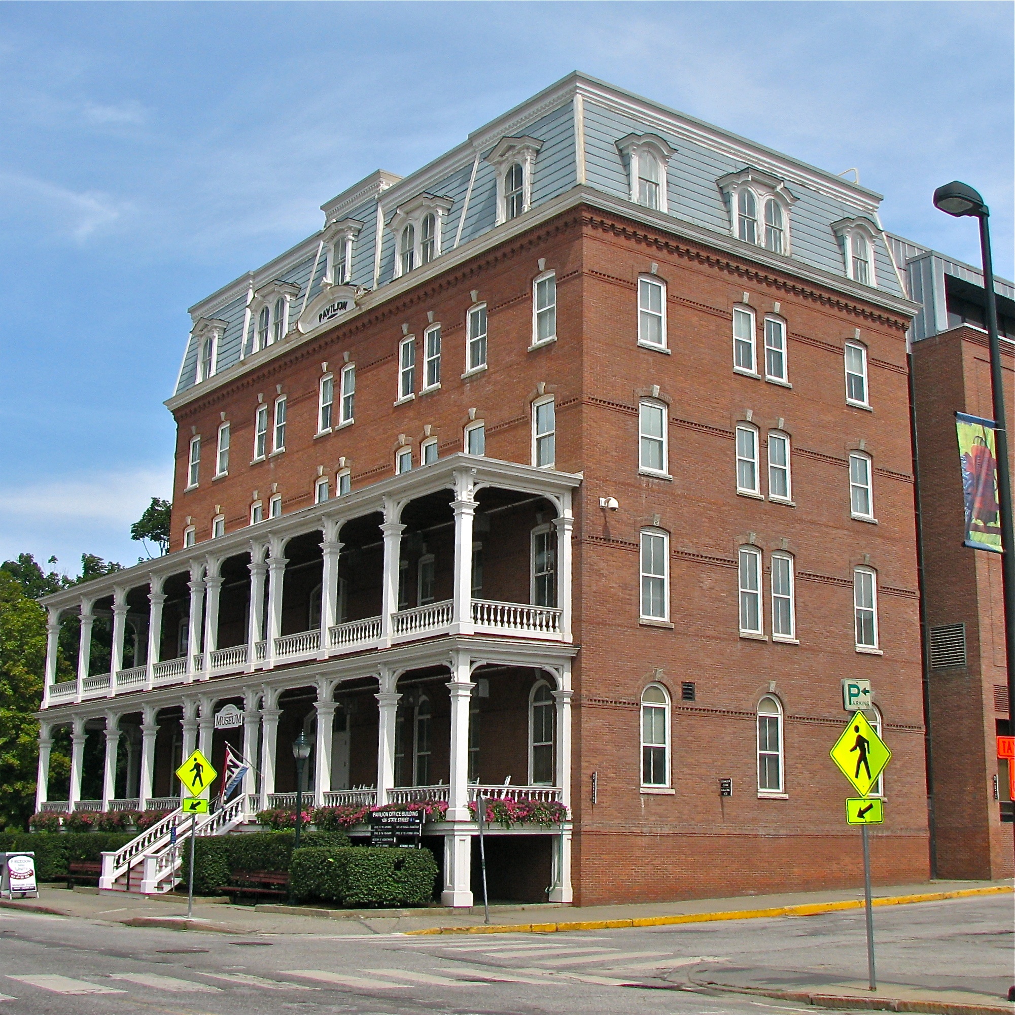
Pavilion Office Building

View on Montpelier
Montpelier, VT, State House view (2)

onion-river-montpelier-sm

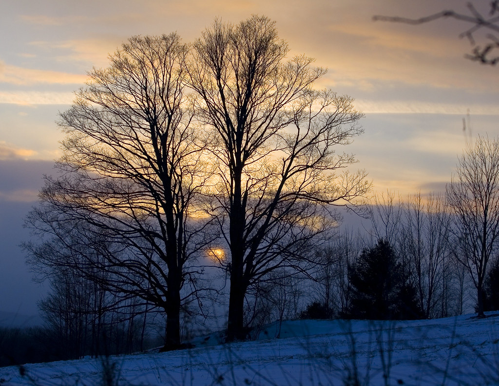
Montpelier Sunset

Fire Tower View (3)

capitol • outlook

columned • view

Montpelier from Kinstead Corner

Morning sun rise view

Spruce Mountain, Vermont

September Foliage

Field of Gold

In the Cabin

Templeton Rd Foliage

E.L. Smith Quarry - Barre, Vermont

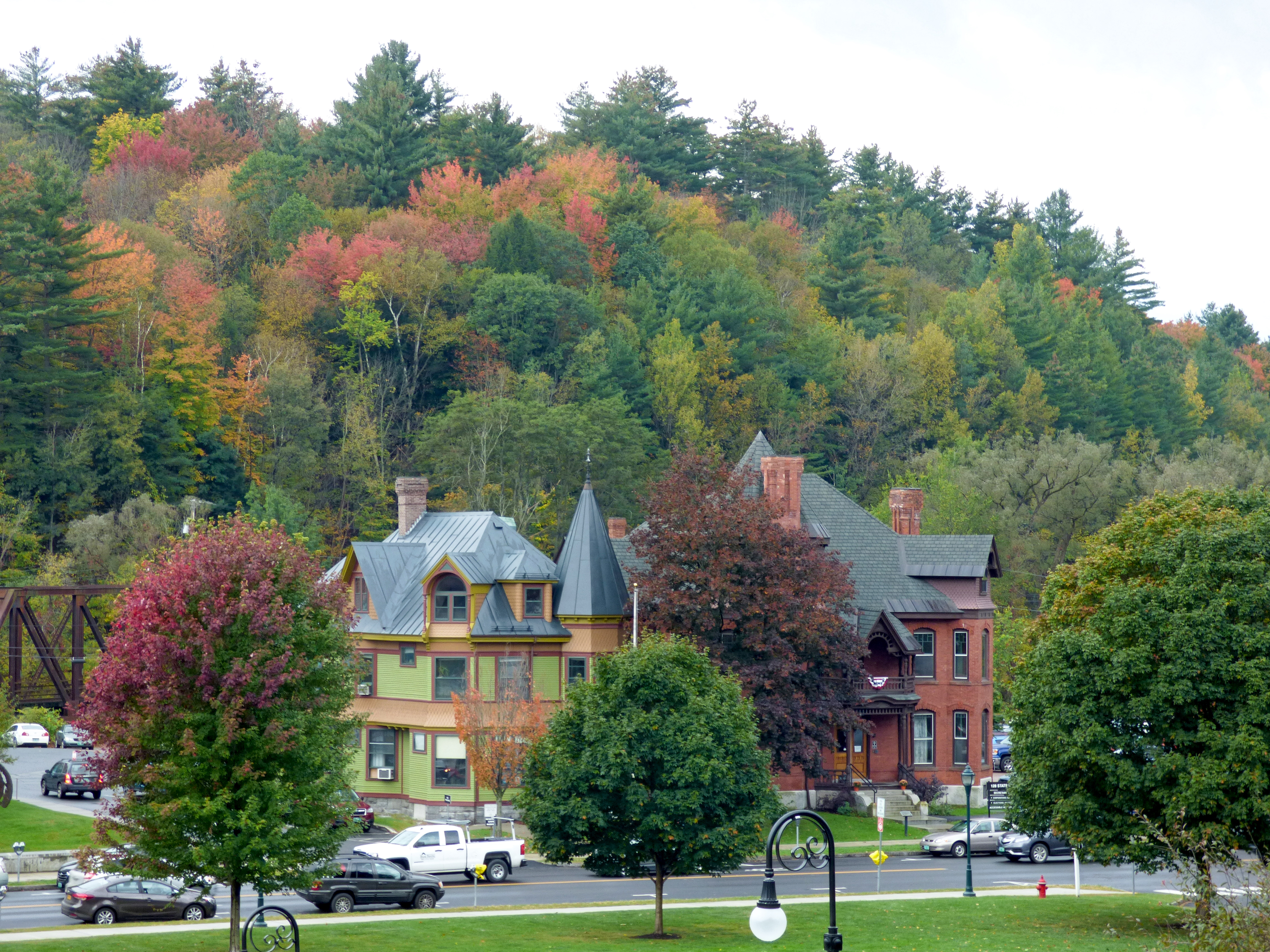
Montpelier Junction, Vermont

Vermont State Capital
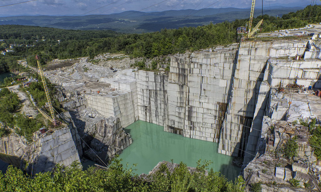
E.L. Smith Quarry - Barre, Vermont

Northfield Falls Covered Bridge

Frozen Cox Brook

It's water under the bridge

ceres • goddess.of.agriculture

Falls Bridge 3

Wrightsville in Autumn

Fritillary Butterfly on Joe Pye Weed
Two as One

The clouds lift, finally

Center Rd.

October Evening

Fall colors
Topographic Map of 26 Pine Ridge Rd, Barre, VT, USA
Find elevation by address:

Places near 26 Pine Ridge Rd, Barre, VT, USA:
22 Grand View Farm Rd
420 Windywood Rd
42 Countryside Dr
Windywood Road
363 Windywood Rd
64 Warren St
Blake Drive
69 Franklin St
6 Sugarwoods Rd
6 Sugarwoods Rd
B.o.r. Ice Arena
67 Franklin St
57 Park St
45 Fortney Pl
149 Sunset Rd
43 Fortney Pl
45 Park St
65 Pleasant St
142 Drake Rd
27 Granview Dr
Recent Searches:
- Elevation of Corso Fratelli Cairoli, 35, Macerata MC, Italy
- Elevation of Tallevast Rd, Sarasota, FL, USA
- Elevation of 4th St E, Sonoma, CA, USA
- Elevation of Black Hollow Rd, Pennsdale, PA, USA
- Elevation of Oakland Ave, Williamsport, PA, USA
- Elevation of Pedrógão Grande, Portugal
- Elevation of Klee Dr, Martinsburg, WV, USA
- Elevation of Via Roma, Pieranica CR, Italy
- Elevation of Tavkvetili Mountain, Georgia
- Elevation of Hartfords Bluff Cir, Mt Pleasant, SC, USA