Elevation of 21 Curtis Rd, Barre, VT, USA
Location: United States > Vermont > Washington County > Barre >
Longitude: -72.443057
Latitude: 44.2172901
Elevation: 477m / 1565feet
Barometric Pressure: 96KPa
Elevation Map:
Satellite Map:
Related Photos:
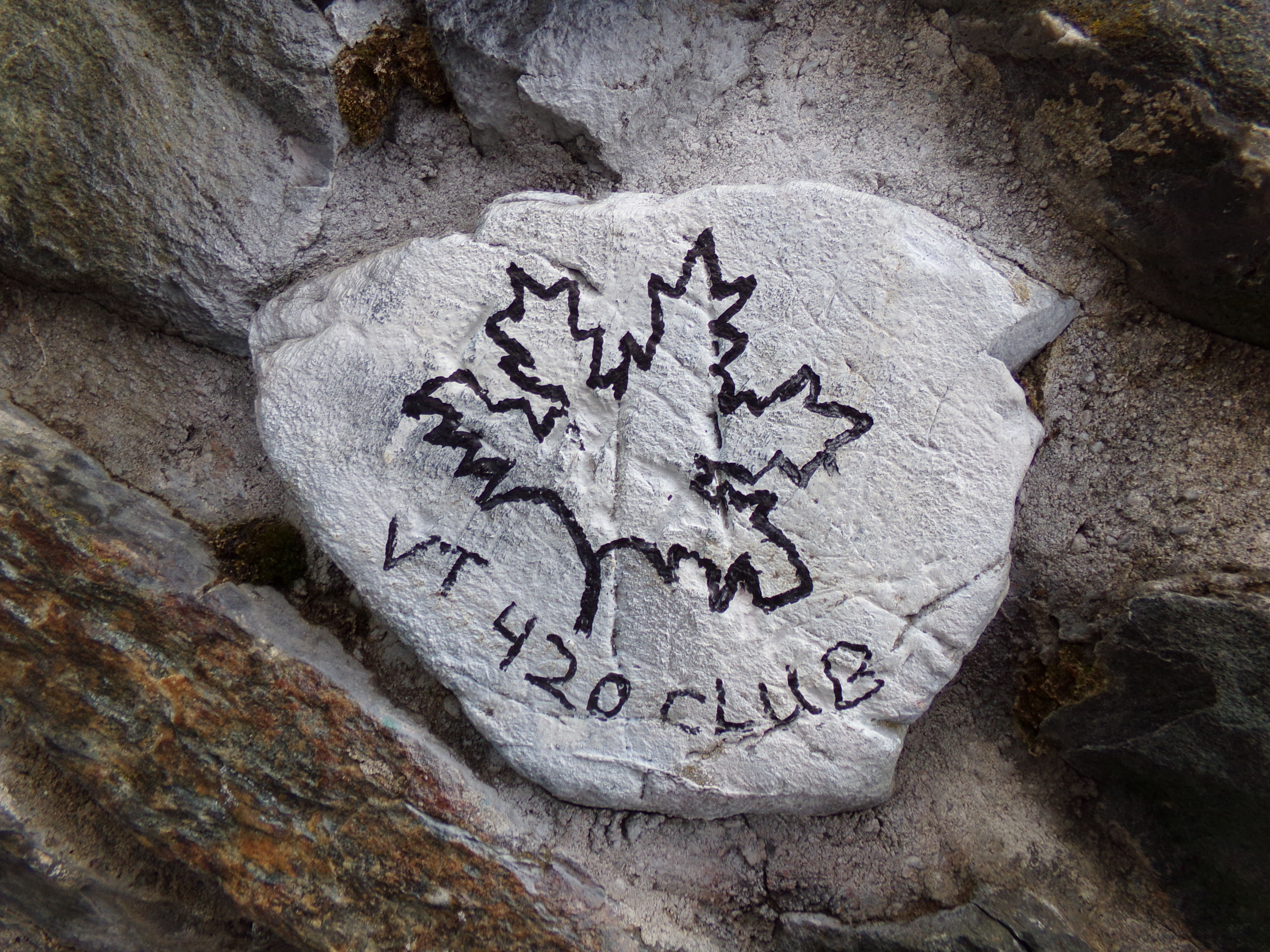
VT 420 Club Rock

Old Barre Vermont Mural
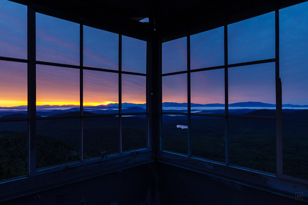
Hubbard Tower
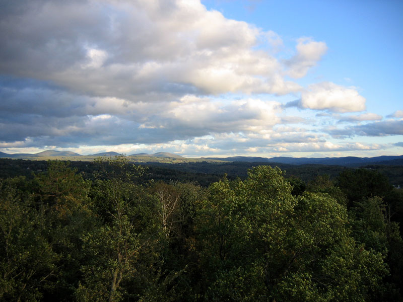
Looking Southeast from Hubbard Tower
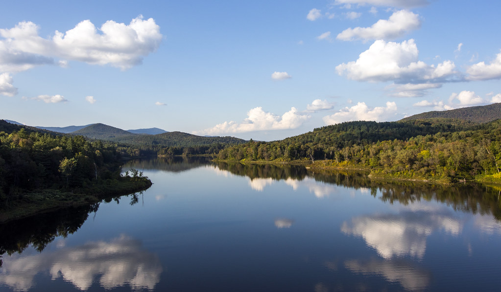
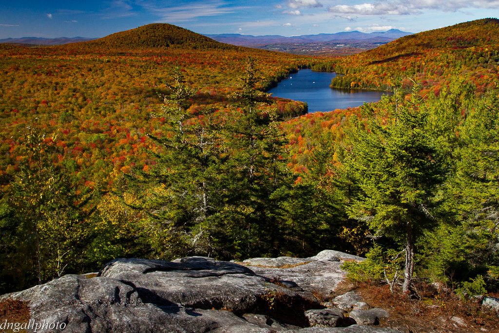
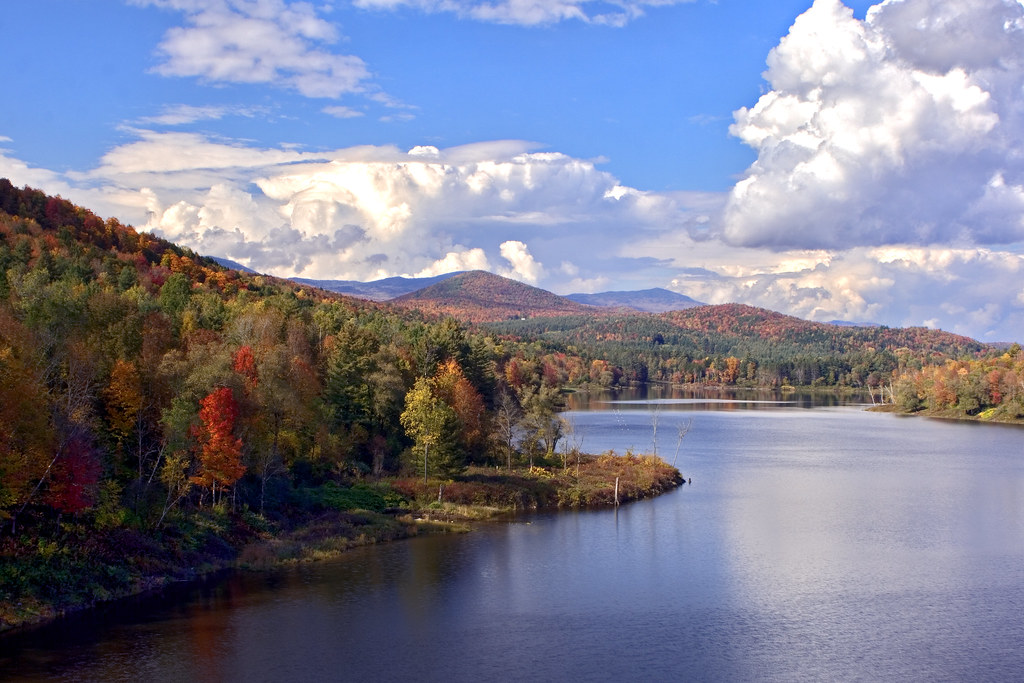
Wrightsville Reservoir
mouse-eye • view
breaking through
Before the First Snow

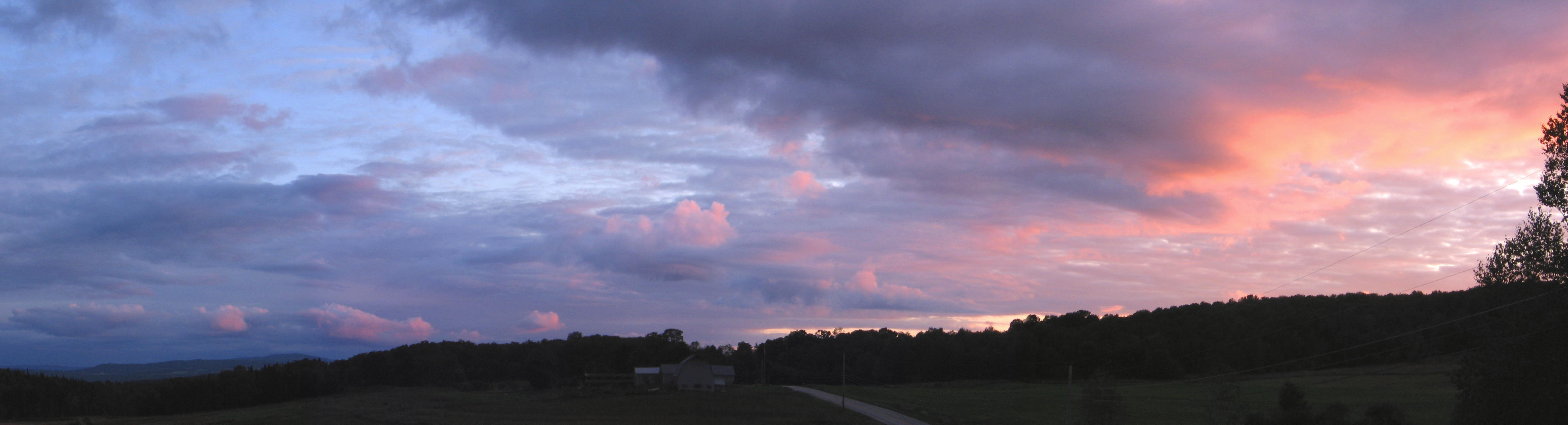
Monrning view with clouds

The view from Hubbard Park tower

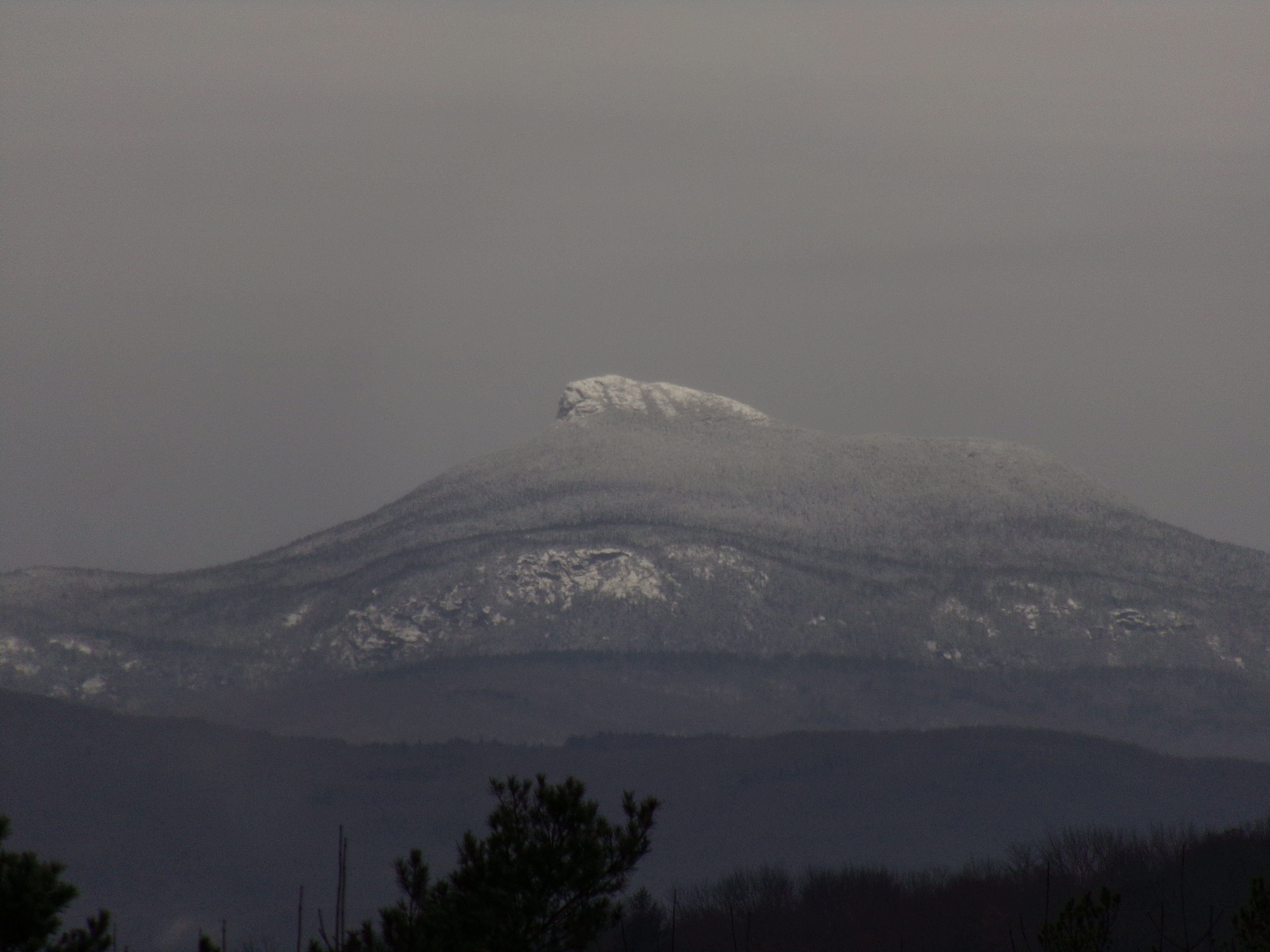
Owl's Head
Montpelier, VT, State House view (2)
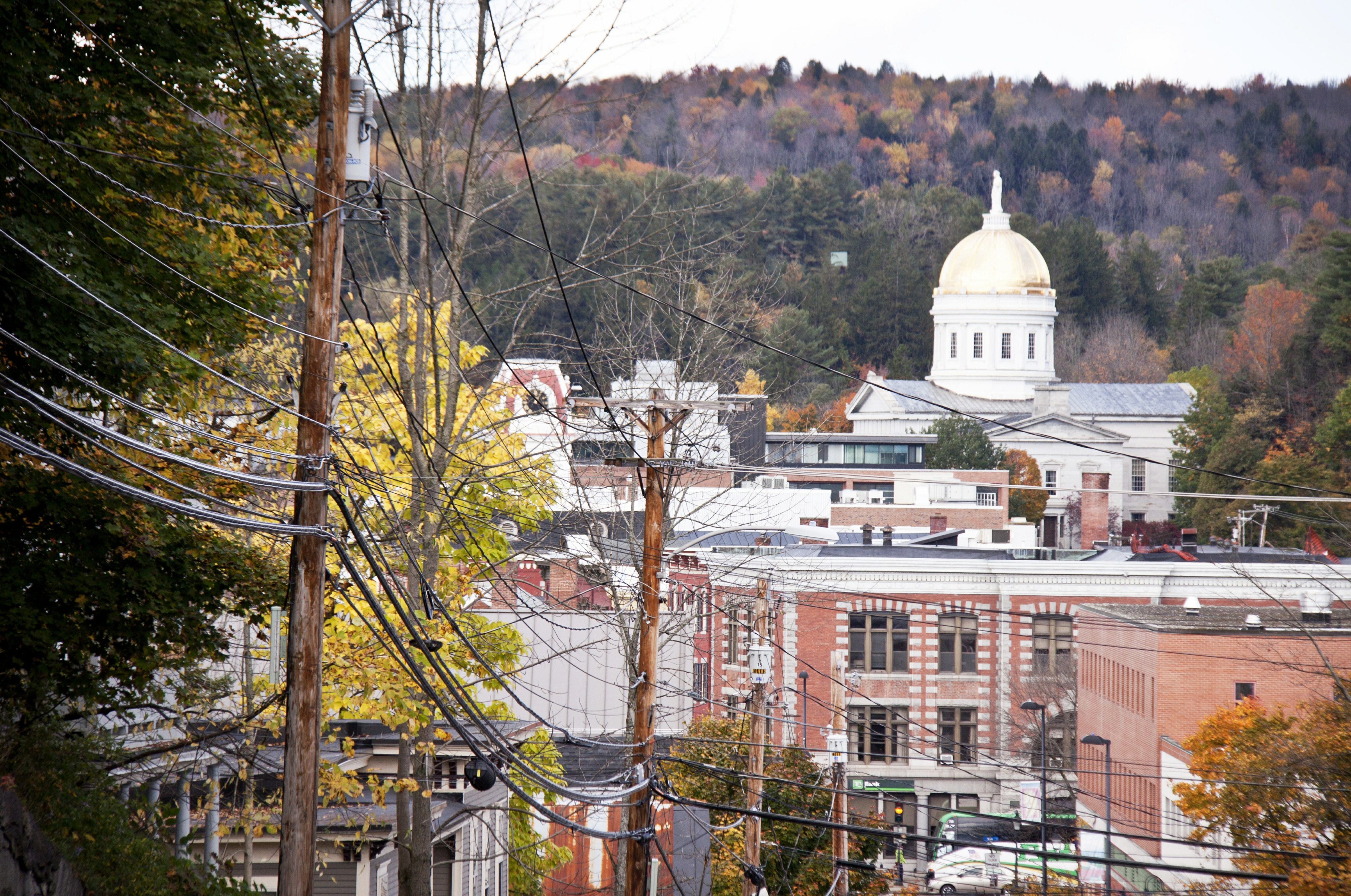
View on Montpelier

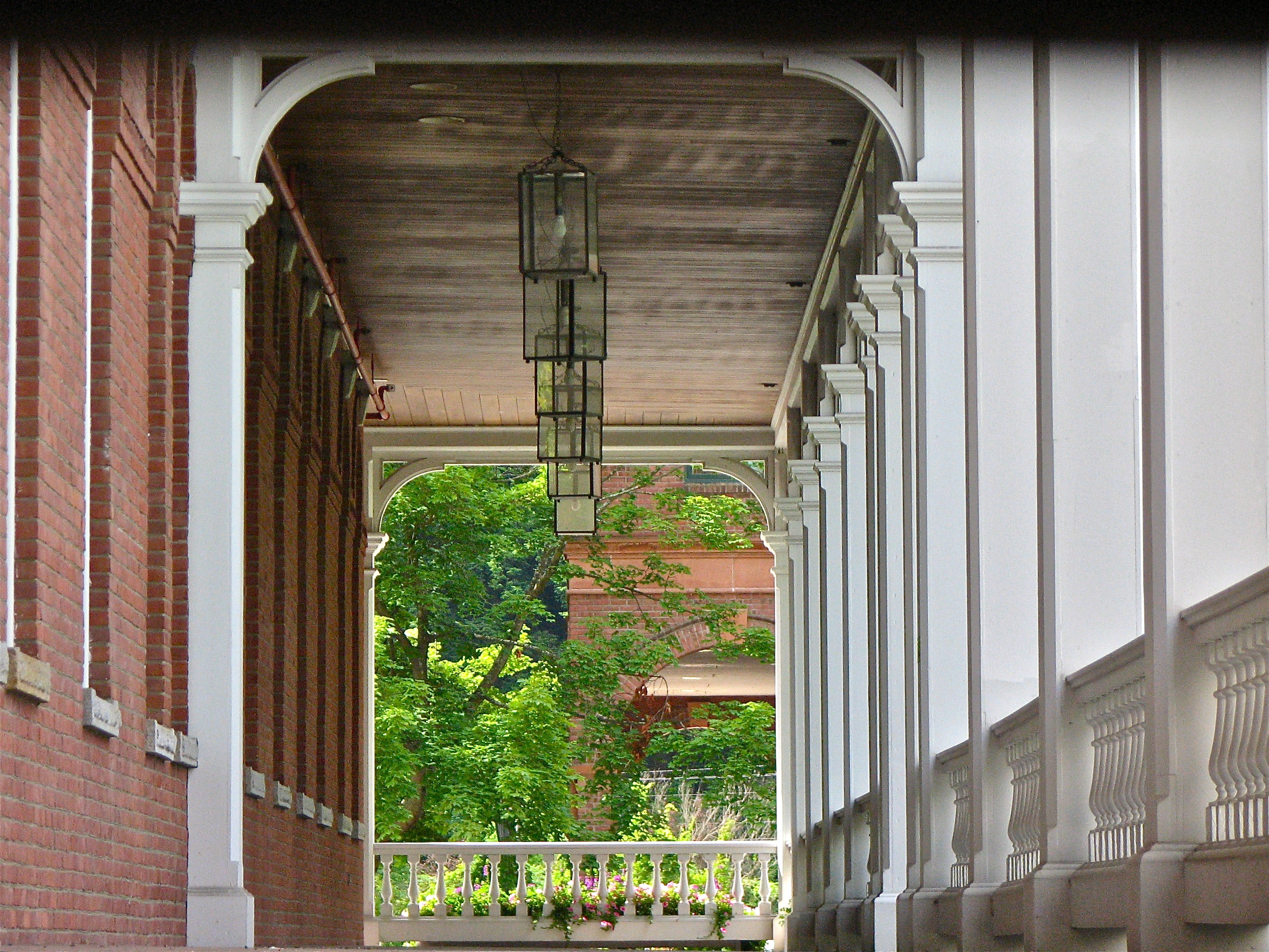
Socialist Labor Party Hall (1900) – southwest view
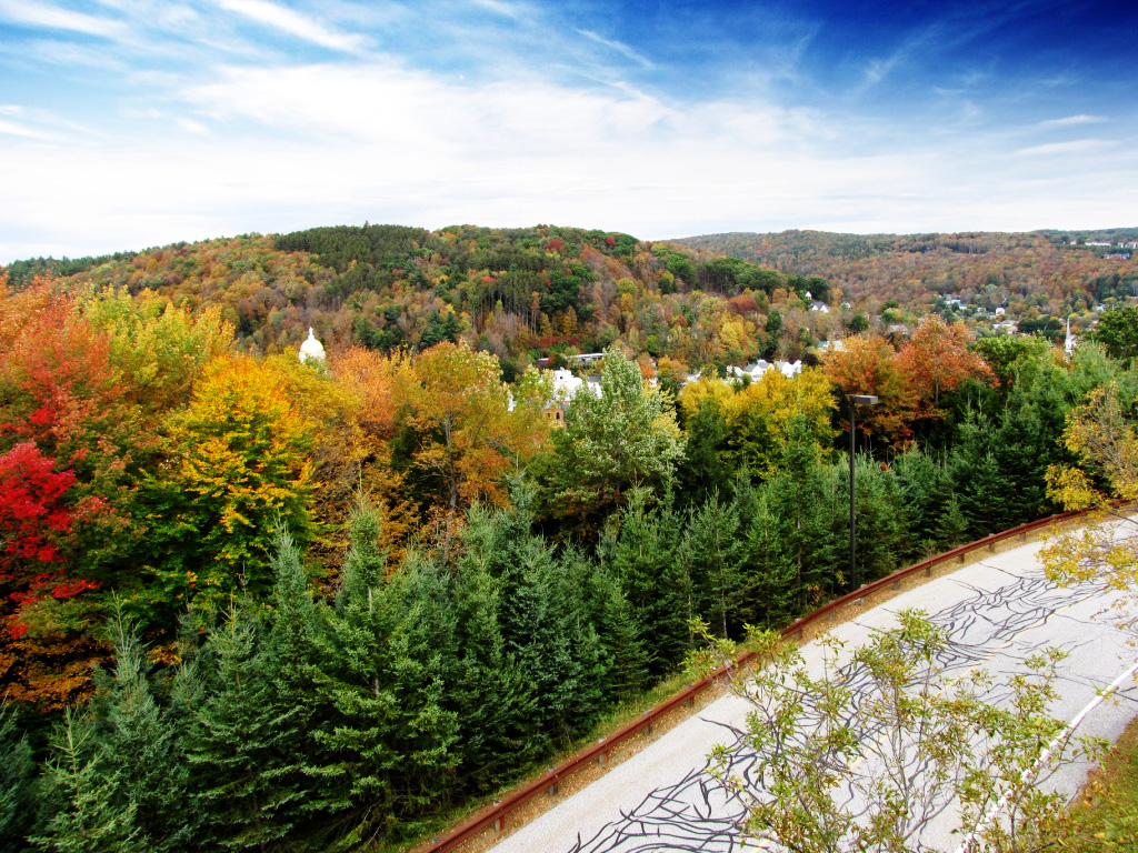
Colorful Overlook
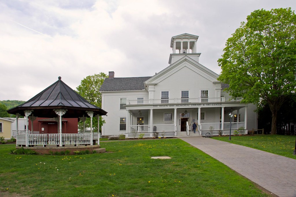
Stowe Free Library
onion-river-montpelier-sm
Montpelier Sunset
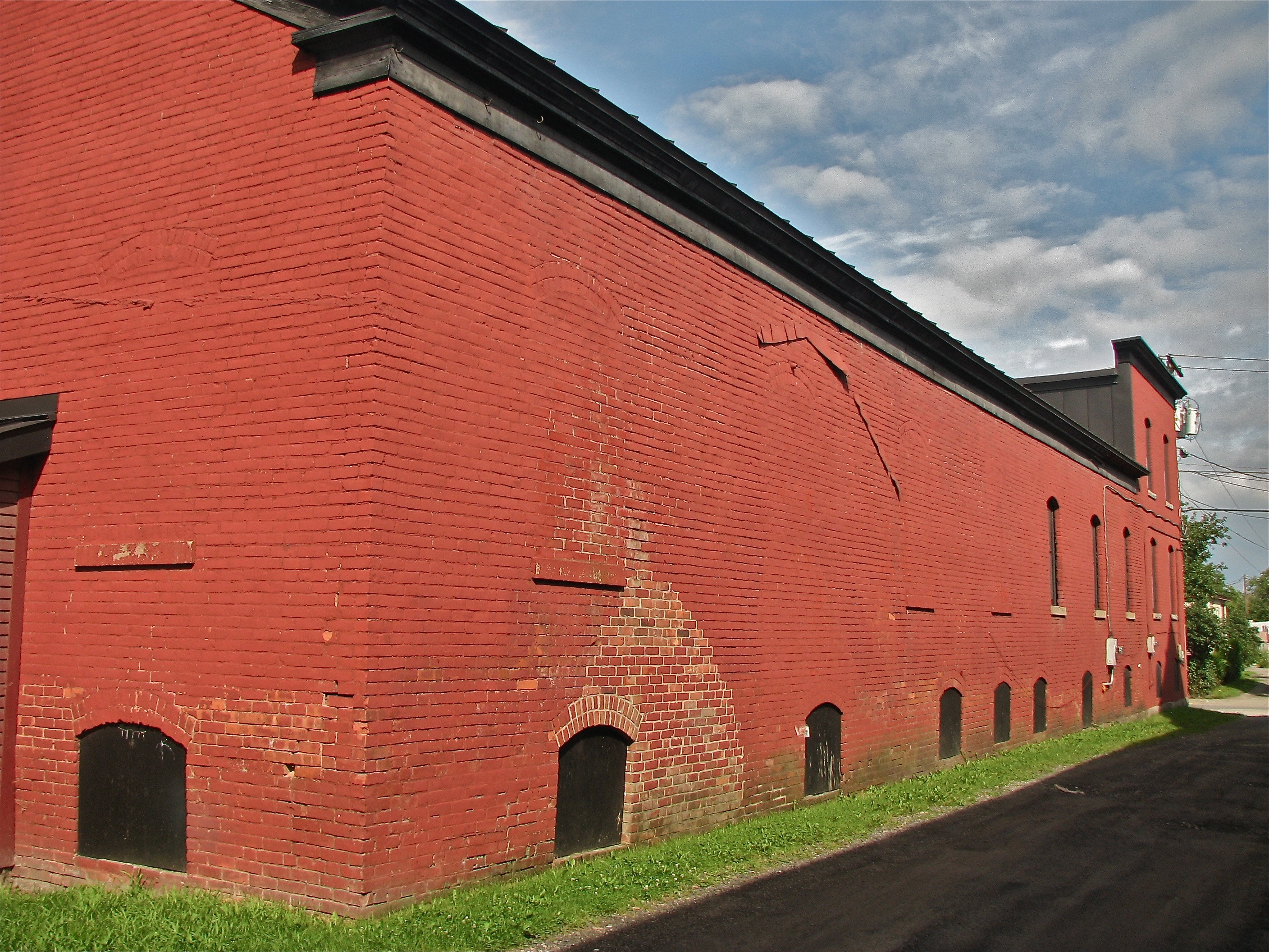
Socialist Labor Party Hall (1900) – northeast view
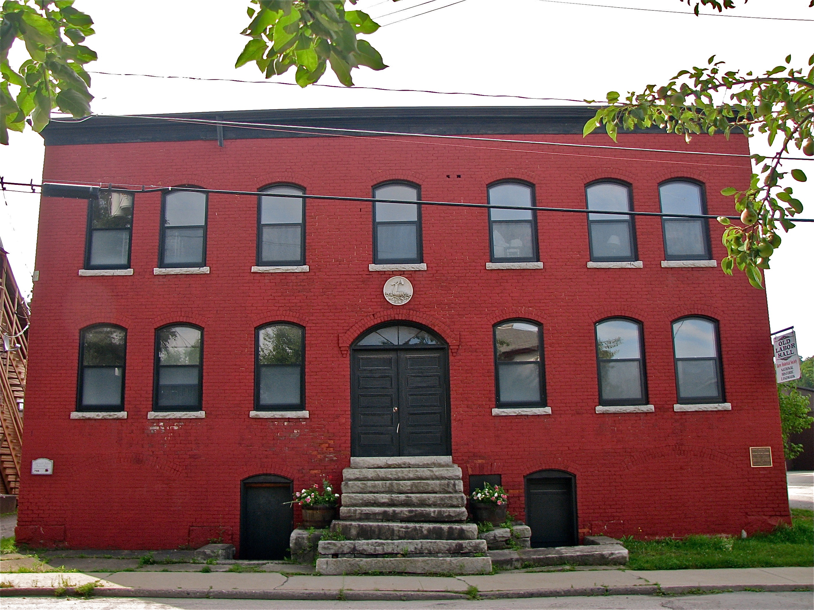
Socialist Labor Party Hall (1900) – front view
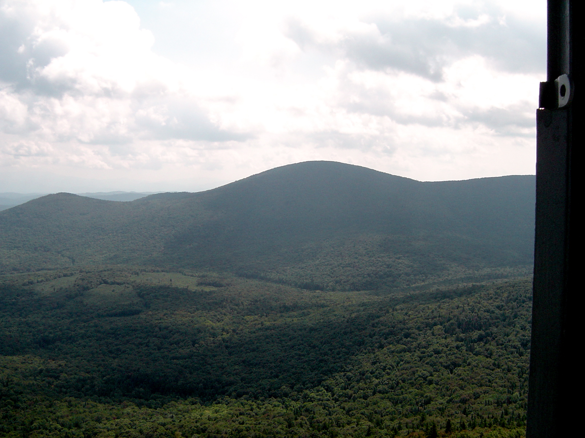
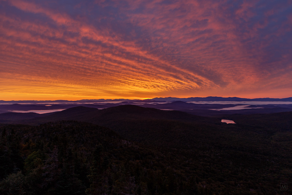
Fire Tower View (3)
In the Cabin
Too Early
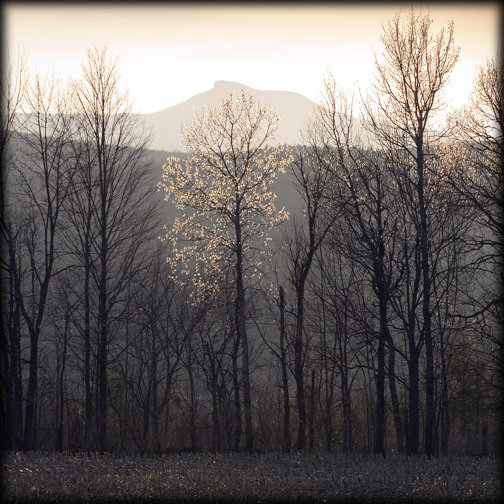
Sunrise, Mt. Washington in the Distance
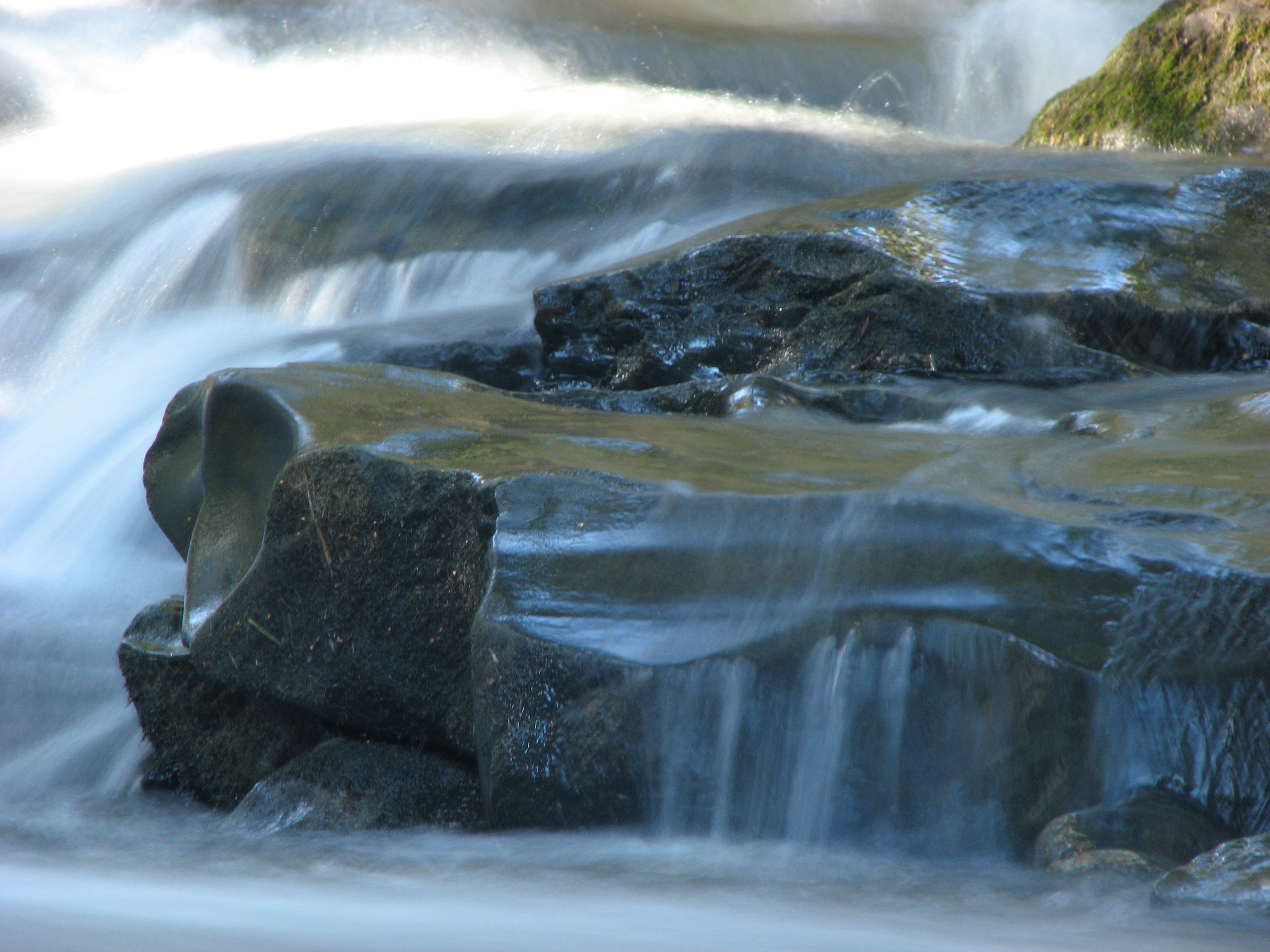
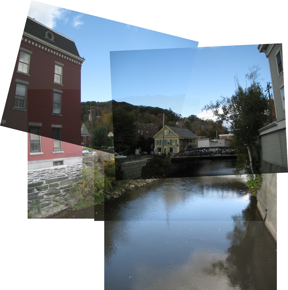
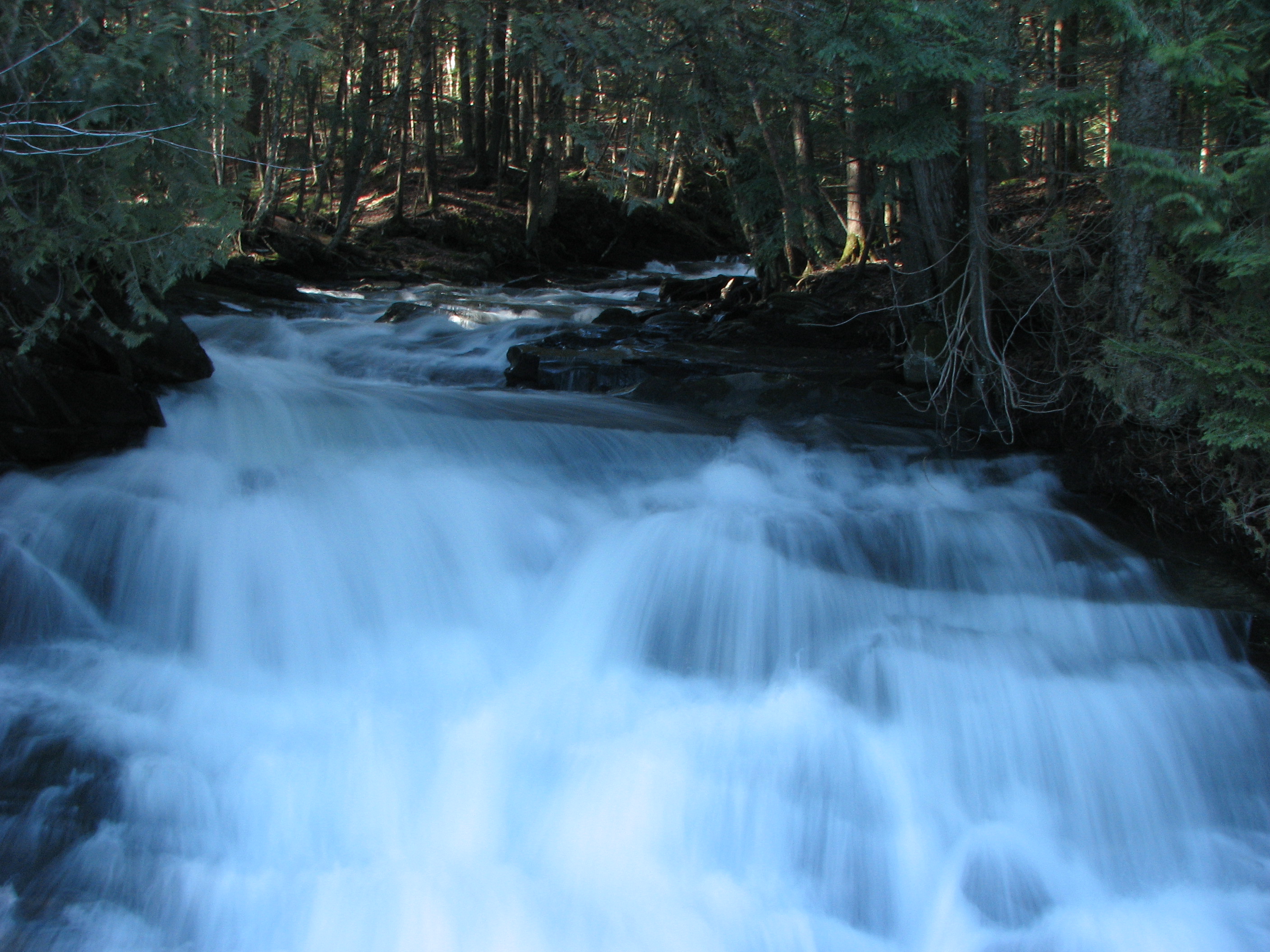
Falls Bridge 3

Two as One
Wrightsville in Autumn
Camels Hump in Springtime

Fritillary Butterfly on Joe Pye Weed
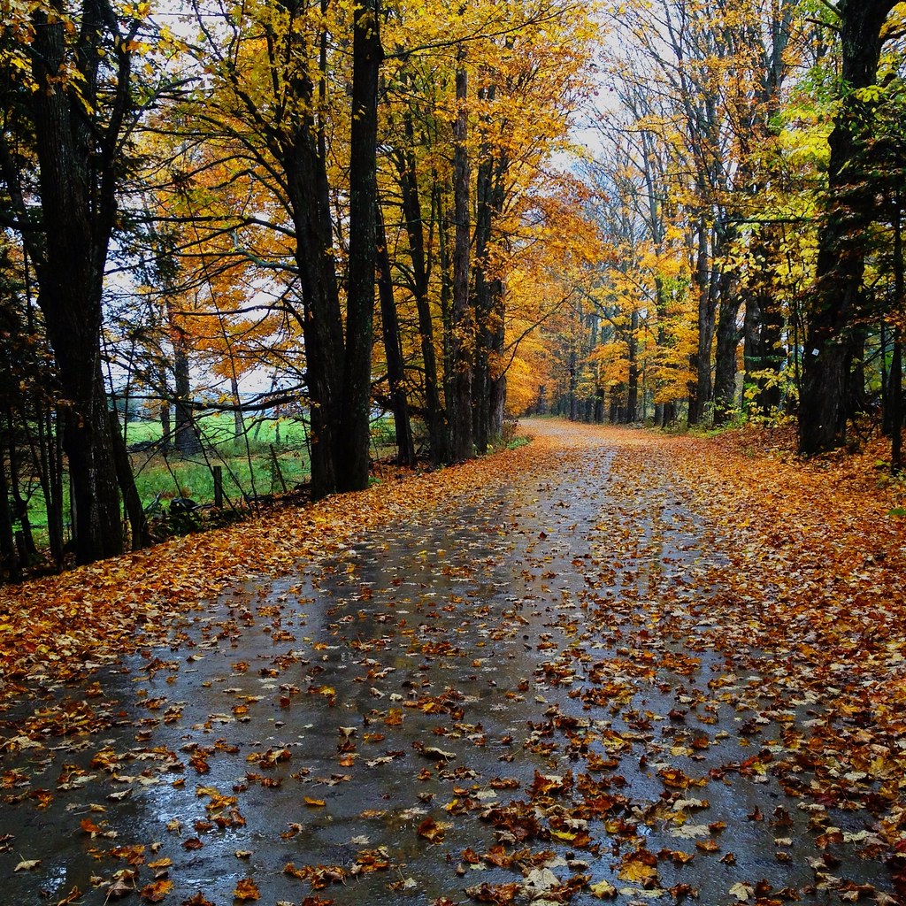
Center Road

The clouds lift, finally

October Evening

Kettle Pond Autunm
Fall colors

September Foliage

Montpelier Junction, Vermont

Vermont State Capitol Building

Camels Hump Sunset

Vermont State Capital
Falls Bridge 1

Templeton Rd Foliage
Topographic Map of 21 Curtis Rd, Barre, VT, USA
Find elevation by address:

Places near 21 Curtis Rd, Barre, VT, USA:
21 Curtis Rd
149 Sunset Rd
360 Cutler Corner Rd
420 Windywood Rd
363 Windywood Rd
5 Belding Rd
Windywood Road
6 Sugarwoods Rd
6 Sugarwoods Rd
42 Countryside Dr
240 Nuissl Rd
142 Drake Rd
49 Lords Rd
35 Tamarack Ln
Skylark Terrace
26 Pine Ridge Rd
22 Grand View Farm Rd
Barre
702 E Barre Rd
320 Washington St
Recent Searches:
- Elevation of Corso Fratelli Cairoli, 35, Macerata MC, Italy
- Elevation of Tallevast Rd, Sarasota, FL, USA
- Elevation of 4th St E, Sonoma, CA, USA
- Elevation of Black Hollow Rd, Pennsdale, PA, USA
- Elevation of Oakland Ave, Williamsport, PA, USA
- Elevation of Pedrógão Grande, Portugal
- Elevation of Klee Dr, Martinsburg, WV, USA
- Elevation of Via Roma, Pieranica CR, Italy
- Elevation of Tavkvetili Mountain, Georgia
- Elevation of Hartfords Bluff Cir, Mt Pleasant, SC, USA