Elevation of Nuissl Rd, Barre, VT, USA
Location: United States > Vermont > Washington County > Barre >

Longitude: -72.464218

Latitude: 44.185574

Elevation: 345m / 1132feet

Barometric Pressure: 97KPa

Elevation Map:

elevation map of Nuissl Rd, Barre, VT, USA

Satellite Map:

Satellite map of Nuissl Rd, Barre, VT, USA
Related Photos:

autumn mountain fall vermont view foliage vt camelshump graniteville canon40d
View of Camel's Hump
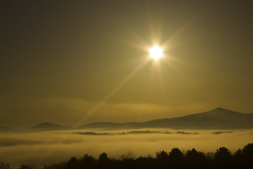
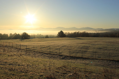
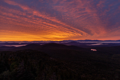
sunset sky nature fog sunrise landscape lights spring interesting photoshope
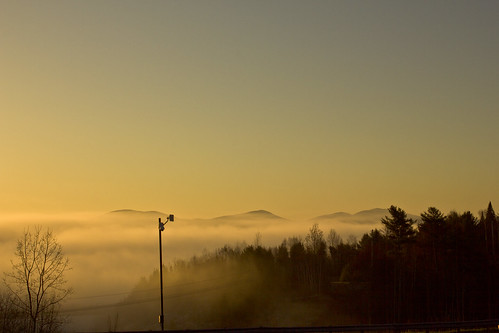
Monrning view with clouds
Spruce Mountain, Vermont
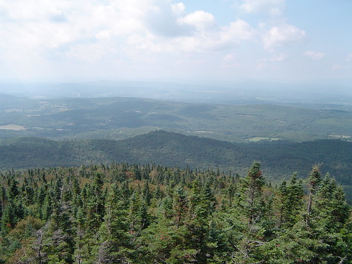
landscape vermont hiking vt firetower mtspruce
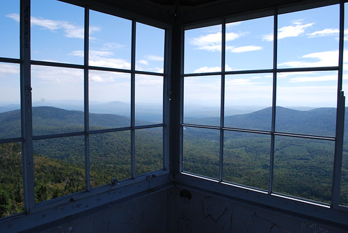
Fire Tower View (3)
Spruce Mountain, Vermont
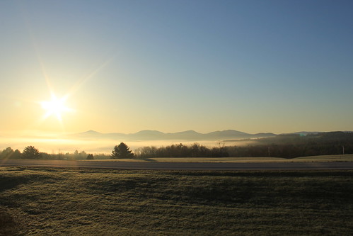
sunset sky nature grass sunrise landscape lights spring interesting photoshope
Morning sun rise view
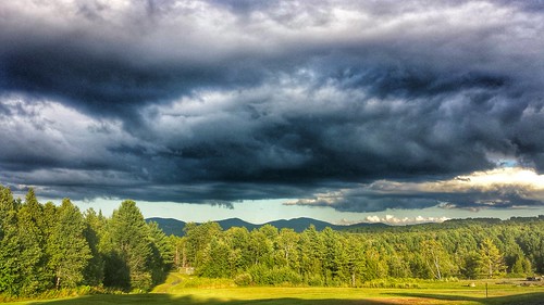
trees sky field clouds vermont view panoramic bb iphone comstock
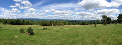
View from Comstock B&B
The view from the top of our road.
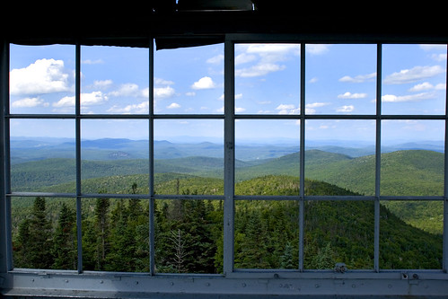
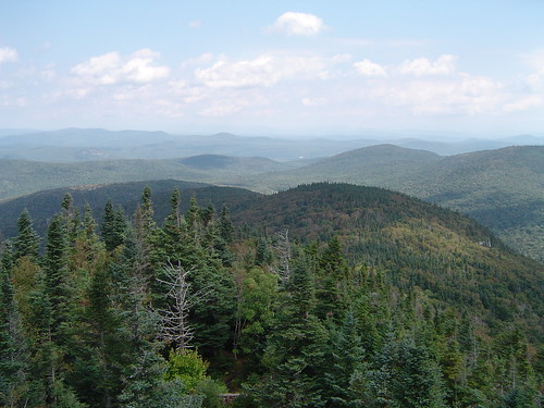
trees summer sky mountain clouds vermont view vista spruce forests plainfield
View from the Fire Tower
winter sunset sky snow ny newyork canada fog sunrise landscape niagarafalls spring interesting montreal earlymorning timesquare empirestatebuilding statueofliberty montpelier stow rockofages springcolors washingtondcmonument nightviewniagarafalls
sun rise
winter sunset sky snow ny newyork canada fog sunrise landscape niagarafalls spring interesting montreal earlymorning timesquare empirestatebuilding statueofliberty montpelier stow rockofages springcolors washingtondcmonument nightviewniagarafalls
sun rise
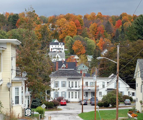
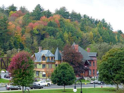
fall d50 nikon vermont newengland foliage barre maplecroft
new england trip133
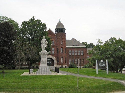
vermont barre leahylibrary vermonthistorycenter spauldingschool
Vermont History Center
landscape vermont hiking vt firetower mtspruce
Fire Tower View (2)
landscape vermont hiking vt firetower mtspruce
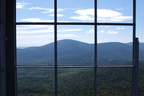
Fire Tower View (1)
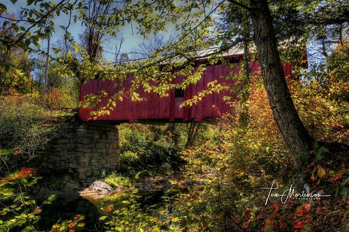
coveredbridge dogriver northfieldfalls vermont newengland fall autumn slaughterhousebridge america usa northamerica canon canon6d canoneos geotagged digital 1872coveredbridge 1740l hdr photomatix tonemapping northfieldvermont scenic landscape woodenstructure structure bridge countryside
Slaughter House Covered Bridge
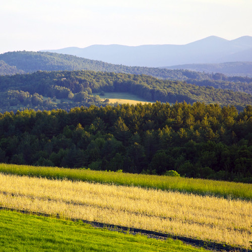
blue trees mountains green field vermont view farmland hay 500x500
Vermont Vista
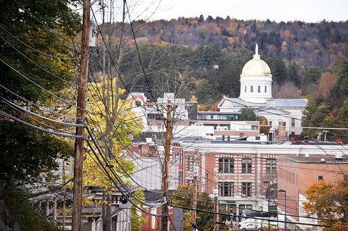
Montpelier, VT, State House view (2)
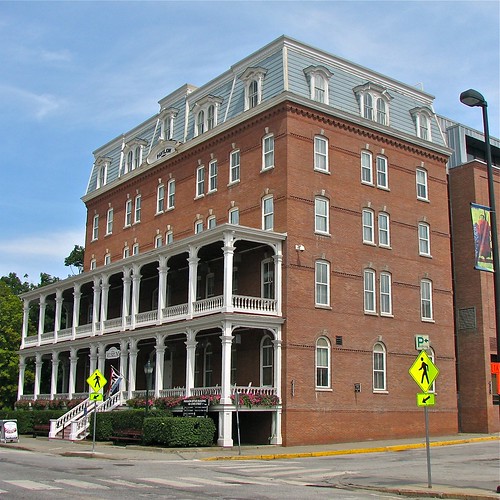
usa brick museum architecture square vermont columns veranda 1978 sq vt vhs montpelier 2010 historicdistrict flowerboxes washingtoncounty nationalregisterofhistoricplaces roundarch vermonthistoricalsociety capitolgrounds nrhp origamidon donshall montpeliervermontusa worldwidephotowalk 2storyveranda vermonthistoricalsocietymuseum columns•flowerboxes 109statestreet montpelierhistoricdistrict 78000246 pavilionofficebuilding
Pavilion Office Building
autumn usa canon eos us vermont unitedstates newengland montpelier greenmountains northernnewengland étatsunis 50d northernvermont canoneos50d 2012montpeliervermontétatsunis
View on Montpelier
vermont statecapitol montpelier
onion-river-montpelier-sm
geotagged waterfall vermont blueribbonwinner impressedbeauty geo:lat=4414256 geo:lon=7253374
Falls Bridge 3
firetower mountwashington sunrise
In the Cabin
2017 canon canon5dmarkiv canonef2470mmf28liiusm davetrono eastorange maplewoodroad newengland vt vermont autumn fall fallcolors fallfoliage foliage geotagged trees landscape
Autumn in Vermont
2018 amtrak berlin canon canon5dmarkiv canonef2470mmf28liiusm davetrono junctionroad mpr montpelier montpelierjunction montpelierstation montpelierberlinstation newengland vt vermont vermonter vermonterline winooskiriver autumn autumncolors bridge depot fall fallcolors fallfoliage fog foliage geotagged hills ironbridge landscape railstation railroad railroadbridge railroadstation railroadtrack track train trainstation traintrack tree locomotive
Montpelier Junction, Vermont
Camels Hump Sunset
geotagged waterfall vermont geo:lat=4414256 geo:lon=7253374
Falls Bridge 1
road autumn fall nature landscape nikon vermont foliage dirt templeton rd vt montpelier btv d610 2485vr
Templeton Rd Foliage
nikon vermont marshfield winooskiriver martincoveredbridge d800e
Winooski River Marshfield Vermont
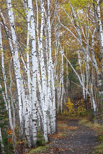
autumn fall vermont path foliage vt birchtrees graniteville whitebark canon40d
Birch Path
bridge train traintracks landscape winter snow cold weather contrast nikon d610 nikkor 70200f4vr montpelier berlin vermont vt unitedstatesofamerica usa america railroad fav10 fav25
It's water under the bridge
cloud mountains clouds vermont scenic clouddrama
Cloud drama
mountwashington sunrise
Sunrise, Mt. Washington in the Distance
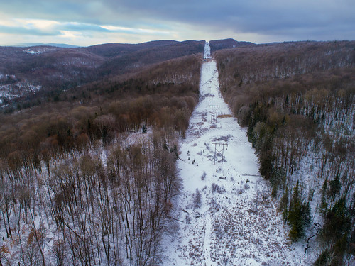
january 2018 aerialphotography quadcopter dji drone phantom4pro mont snow wer lines
The Bit of Vermont We Got To See
sunset sunrise interesting earlymorning rise sunsun fogmontpelierlandscapesky
sun rise
Inornate Ringlet
Fall colors in Vermont
winter sunset sky snow tree nature field landscape vermont
Two as One
trees mountain field landscape spring corn vermont blossoms backlit camels hump 500x500
Camels Hump in Springtime
pink flower butterfly weed joe fritillary pye photocontesttnc12
Fritillary Butterfly on Joe Pye Weed
Center Road