Elevation of Piute Meadows Rd, Caliente, CA, USA
Location: United States > California > Kern County > Caliente >
Longitude: -118.53329
Latitude: 35.459385
Elevation: 1296m / 4252feet
Barometric Pressure: 87KPa
Elevation Map:
Satellite Map:
Related Photos:

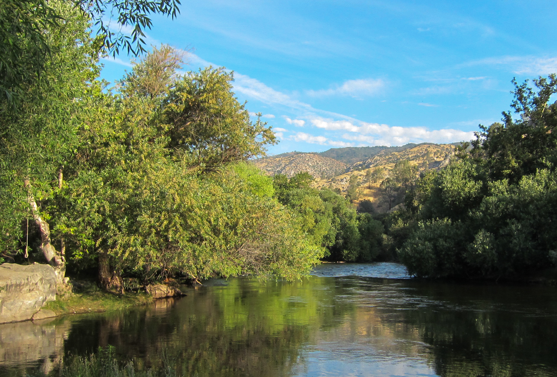
Lower Kern River

Get a rope! Hangman's noose hanging from the tree at the 'ghost town' of Corlew's Silver City in remote Bodfish, CA (kernvalley035xy)
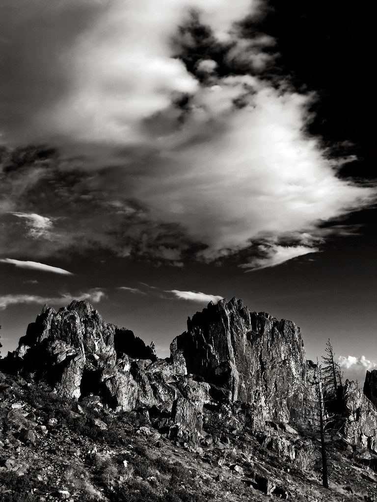
view north from piute lookout

Mariposa Grove, CA
Mariposa Grove, CA

Quiet river.....
Old Kern Canyon Road
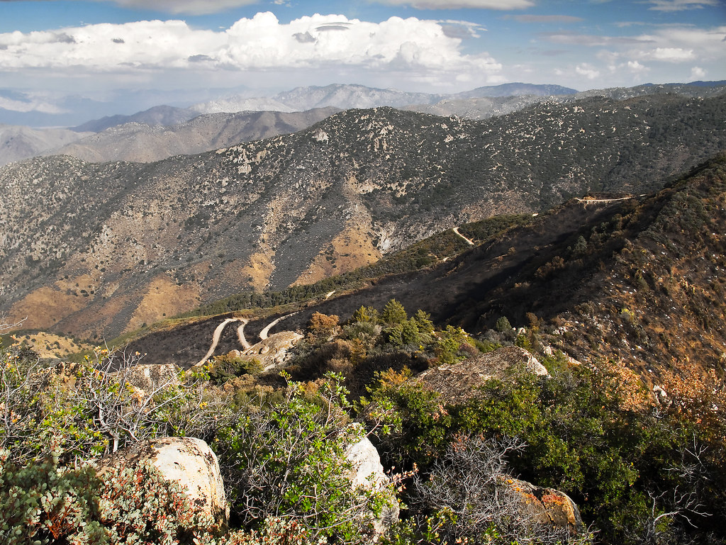
View north from Havilah

Kern River Edison (3322)
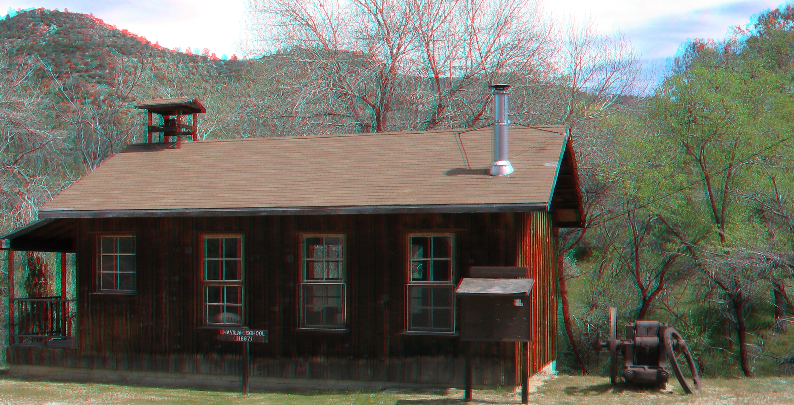
Havilah School 3d
View southeast from Bald Eagle Peak

River playground

On est bien peu de chose...
as darkness approaches
transience; tomorrow will be different.
I was just thinking.
a warm moment
a momentary state.

Walker Basin Wildflowers
Kern River Hobo campground (3362)
The Absence of Anxiety

Can We Help You?
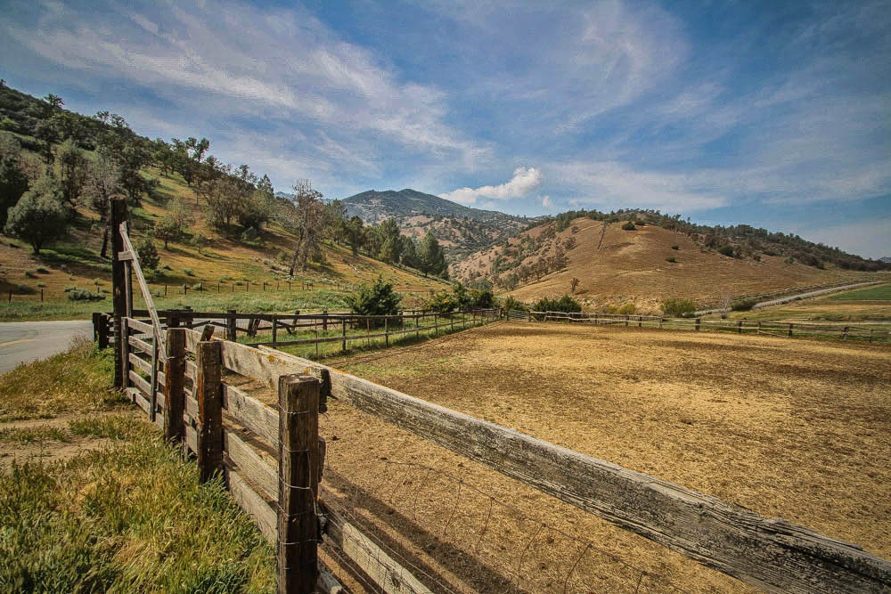
Lower Kern River Canyon

Lower Kern River
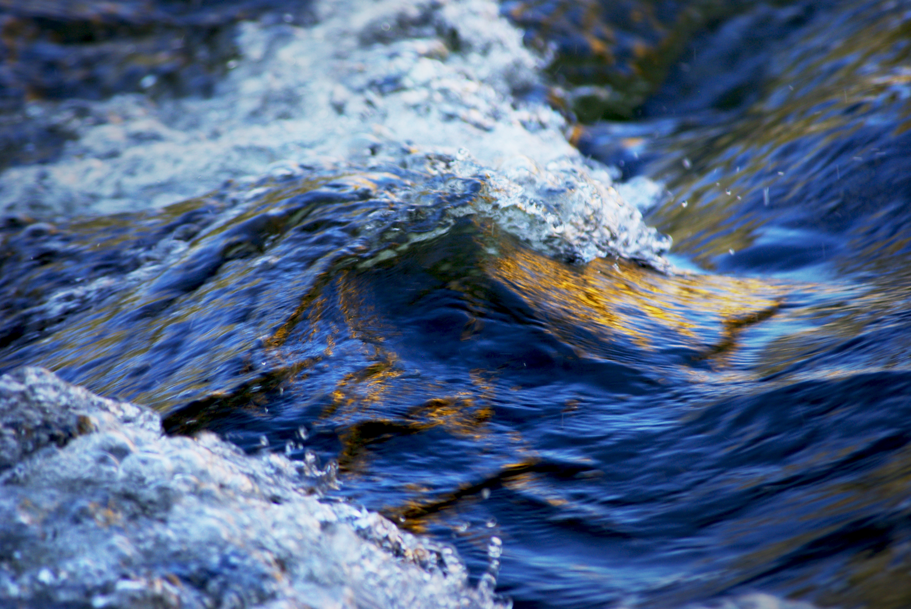
Wave of the River

Oh what a tangled web we weave...
20160507_SaddleSpringsRd-51.jpg
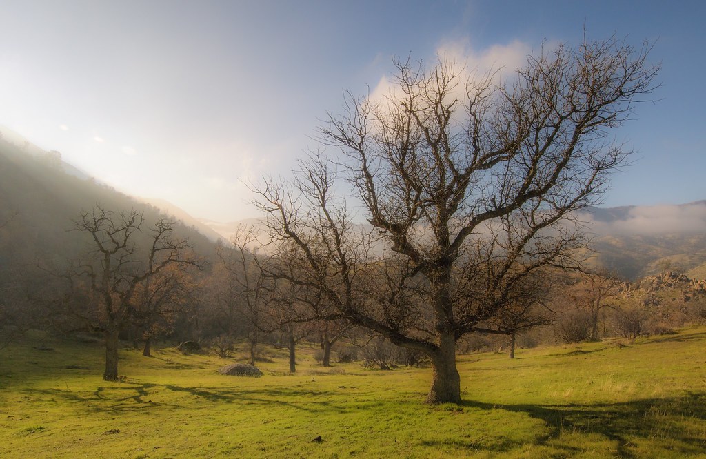
Lower Kern Canyon Wildflowers
Fallen yucca
Topographic Map of Piute Meadows Rd, Caliente, CA, USA
Find elevation by address:

Places near Piute Meadows Rd, Caliente, CA, USA:
21585 Pine Tree Rd
20850 Schell Ranch Rd
Breckenridge Mountain
Havilah
Caliente Bodfish Rd, Havilah, CA, USA
1 Gary St
Bodfish
25 Elk Dr, Bodfish, CA, USA
500 Poplar Ln
636 Columbus Ave
205 Clara Dr
63 S Alpine Way
1387 Bodfish Canyon Rd
63 N Alpine Way
Piute Peak
2419 Rembach Ave
2607 Rembach Ave
2613 Rembach Ave
Fern Street
2610 Bodfish Canyon Rd
Recent Searches:
- Elevation of Corso Fratelli Cairoli, 35, Macerata MC, Italy
- Elevation of Tallevast Rd, Sarasota, FL, USA
- Elevation of 4th St E, Sonoma, CA, USA
- Elevation of Black Hollow Rd, Pennsdale, PA, USA
- Elevation of Oakland Ave, Williamsport, PA, USA
- Elevation of Pedrógão Grande, Portugal
- Elevation of Klee Dr, Martinsburg, WV, USA
- Elevation of Via Roma, Pieranica CR, Italy
- Elevation of Tavkvetili Mountain, Georgia
- Elevation of Hartfords Bluff Cir, Mt Pleasant, SC, USA