Elevation of Clara Dr, Bodfish, CA, USA
Location: United States > California > Kern County > Bodfish >
Longitude: -118.49577
Latitude: 35.593179
Elevation: 801m / 2628feet
Barometric Pressure: 92KPa
Elevation Map:
Satellite Map:
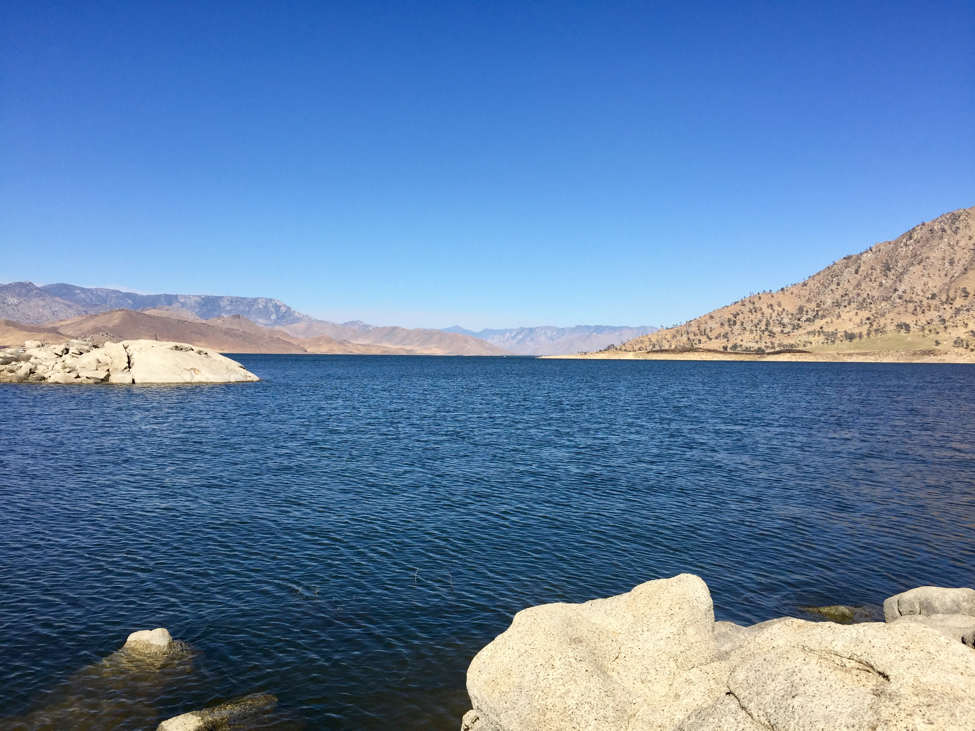
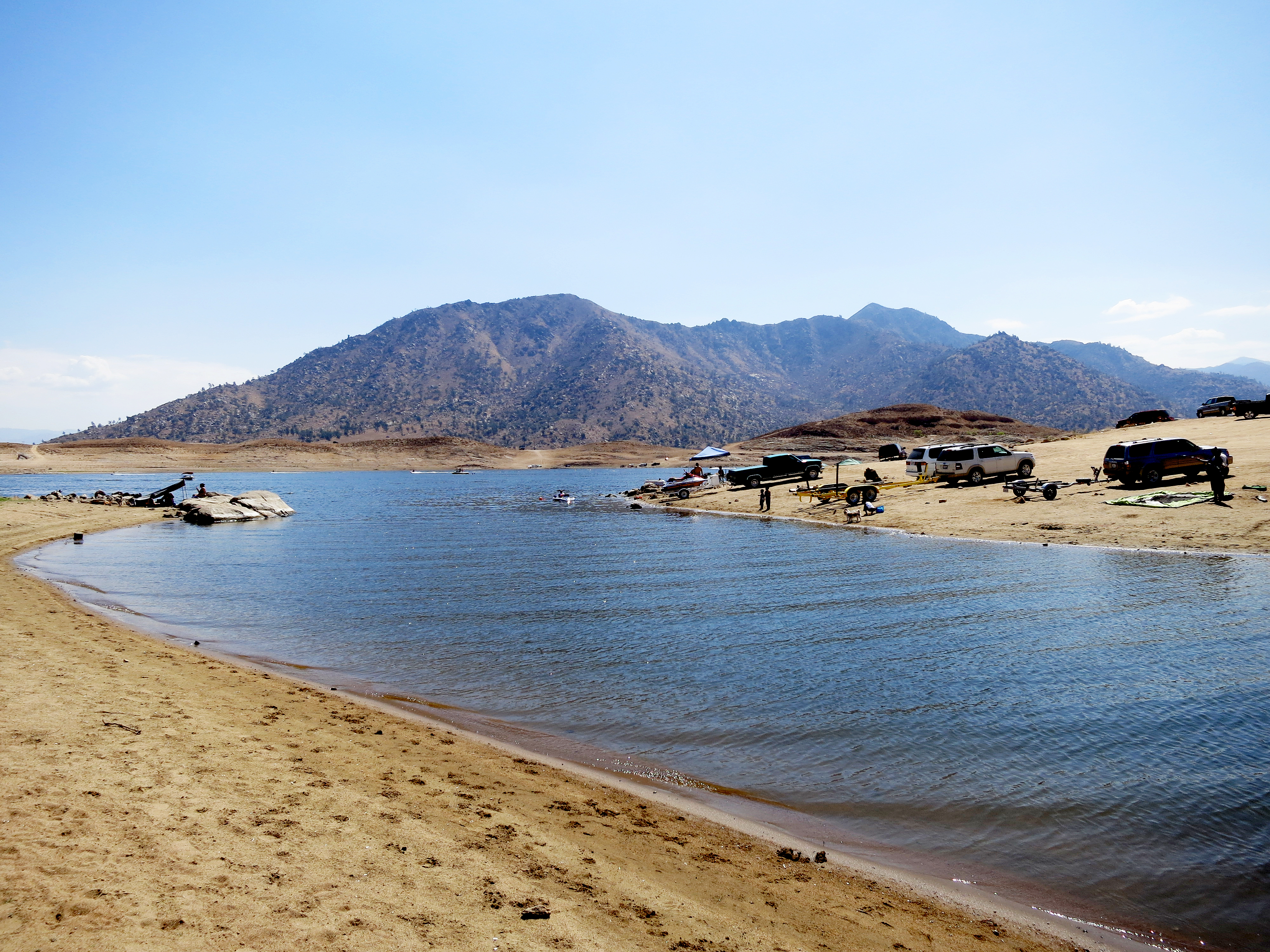
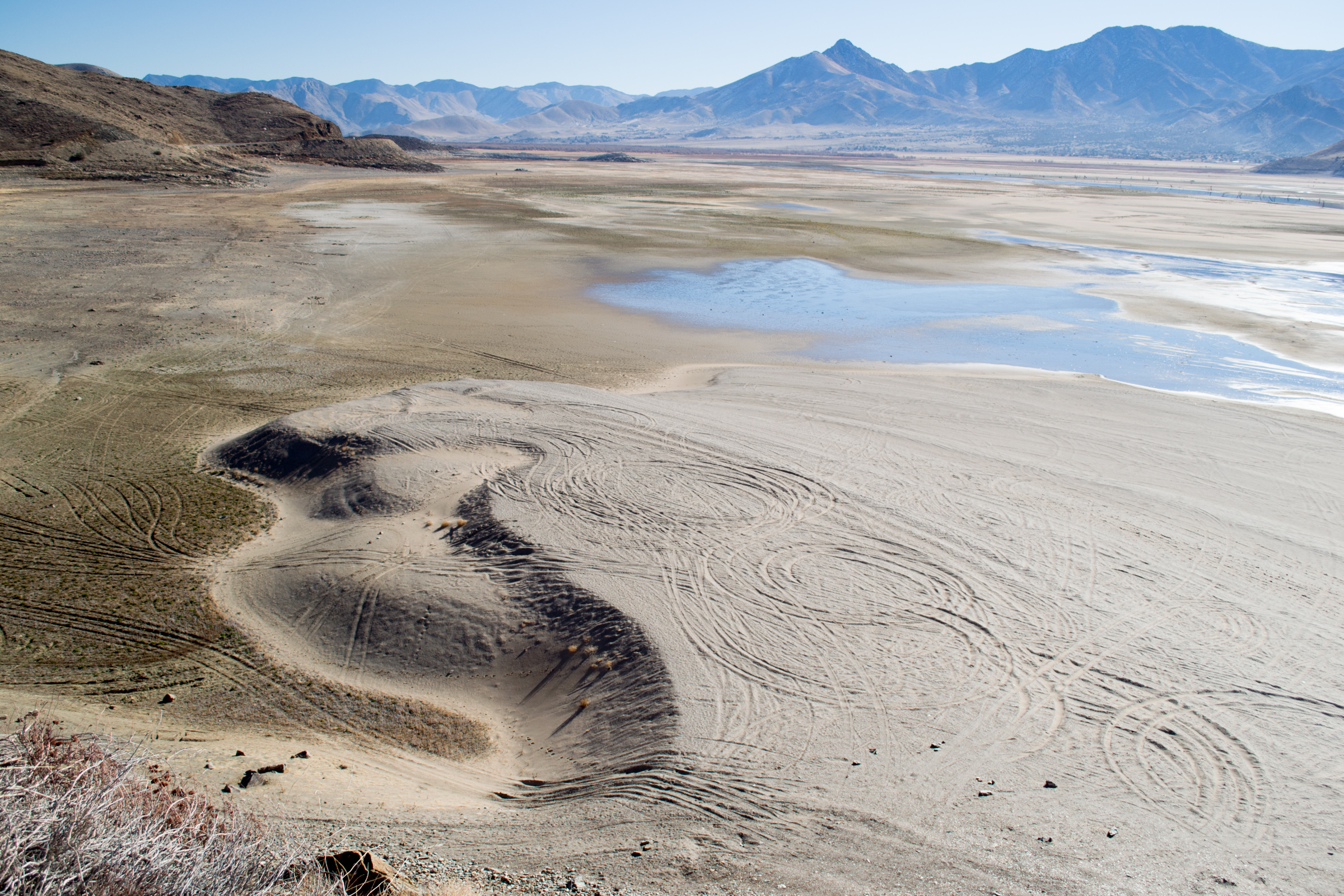
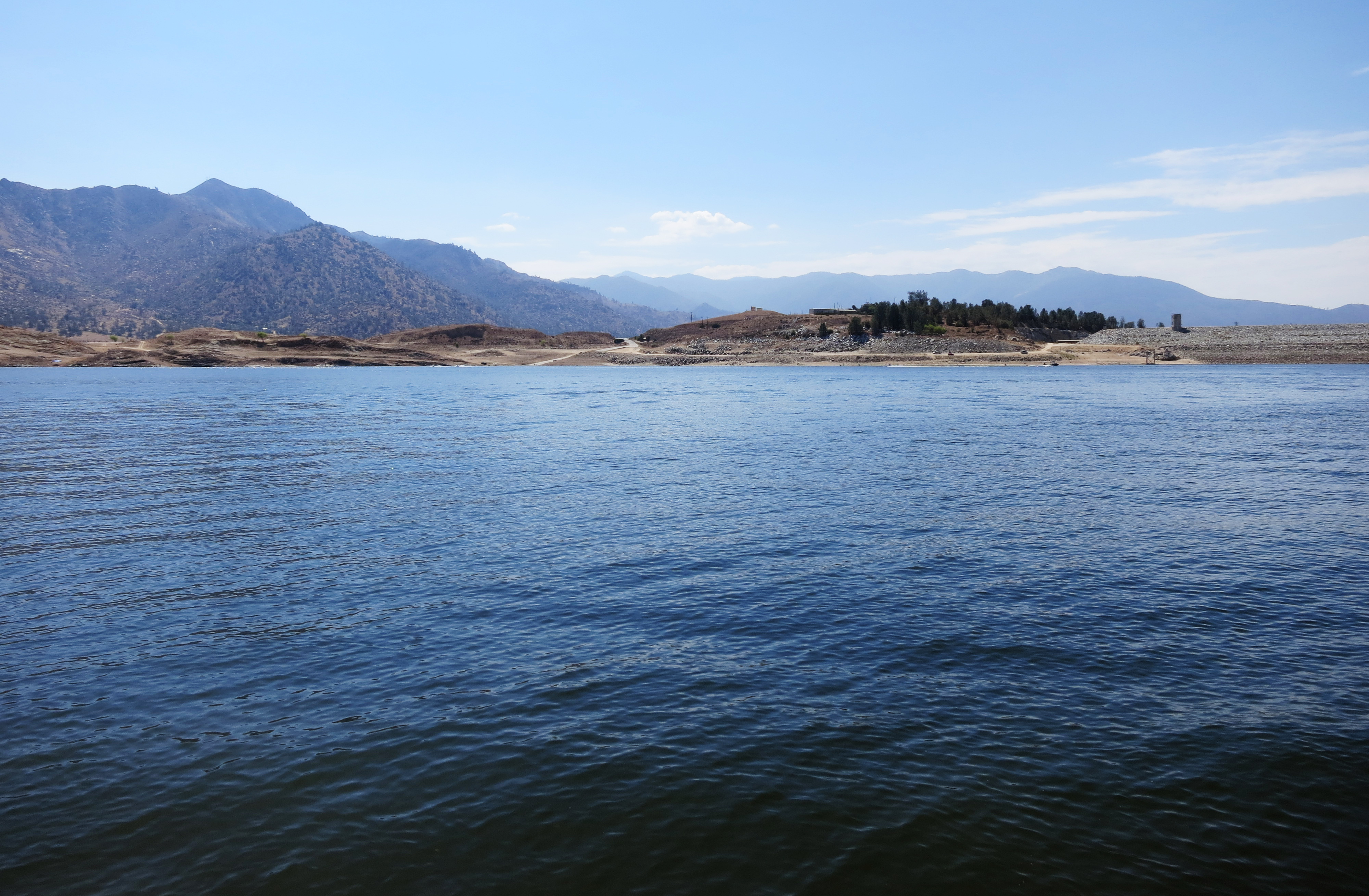
Related Photos:

Get a rope! Hangman's noose hanging from the tree at the 'ghost town' of Corlew's Silver City in remote Bodfish, CA (kernvalley035xy)

View of Lake Isabella From Mom & Dad's House, Pala Ranch, May 1988

View of Lake Isabella

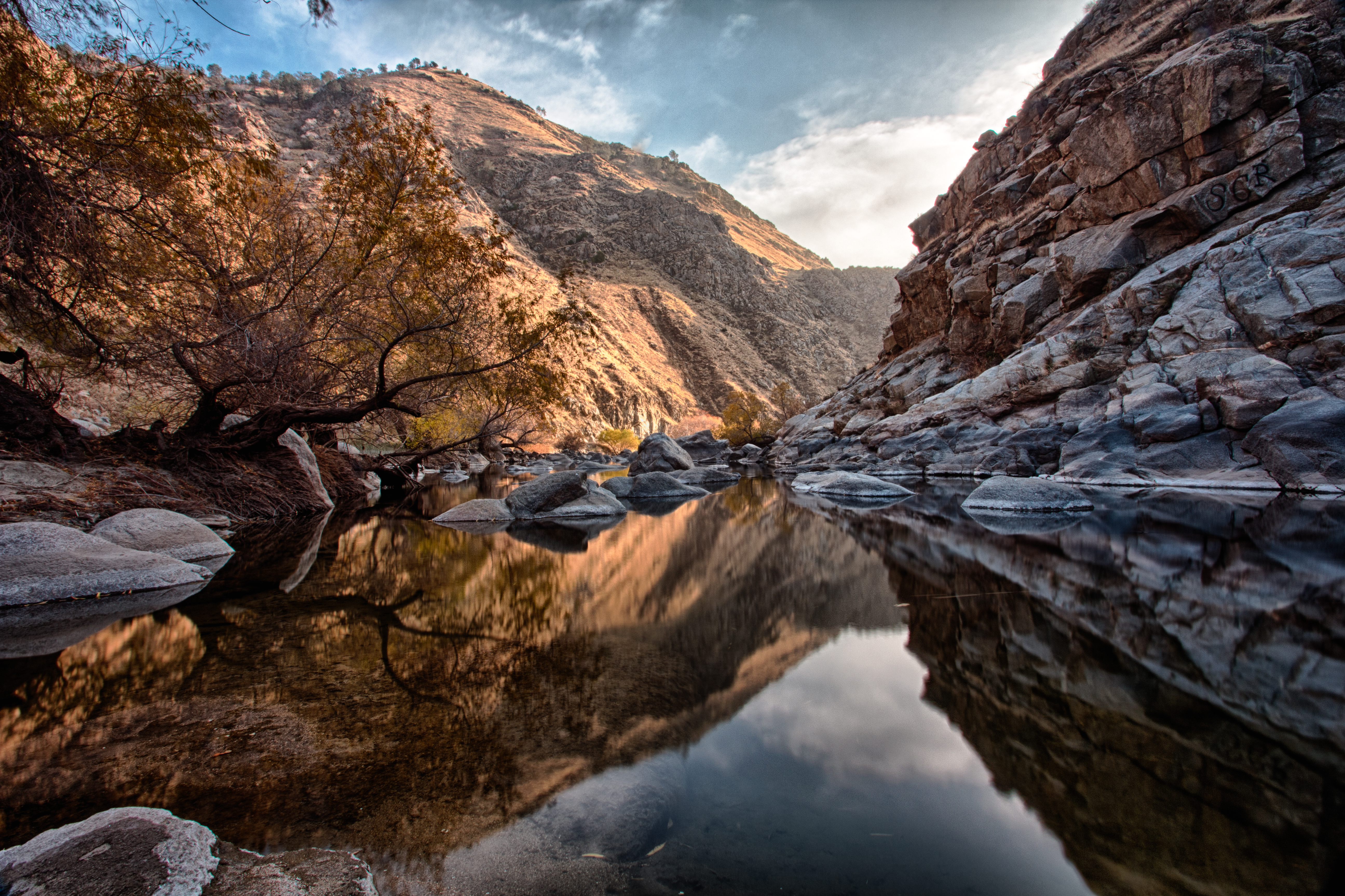
Lower Kern River

Quiet river.....
View southeast from Bald Eagle Peak

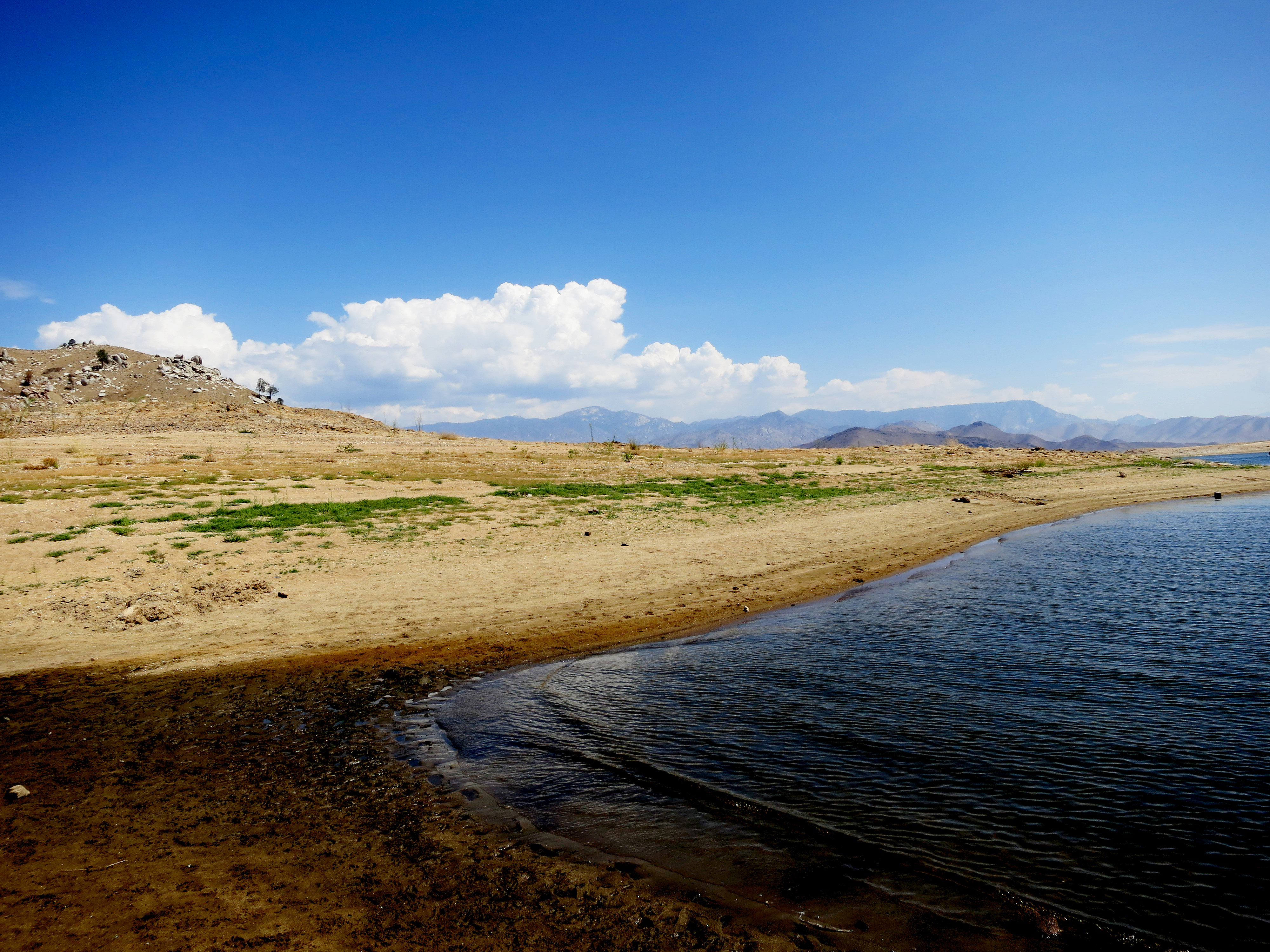
Lake Isabella

2011-06-E-7888

Silver City Ghost Town
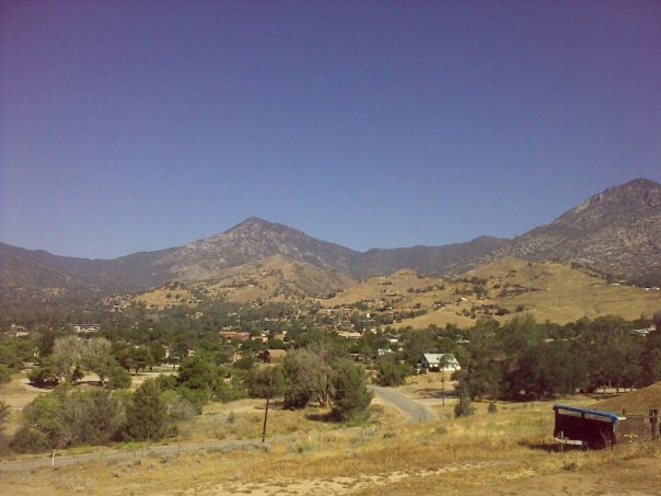
View north from Havilah

Rental view over looking Wofford Hieghts.

Kern River Edison (3322)
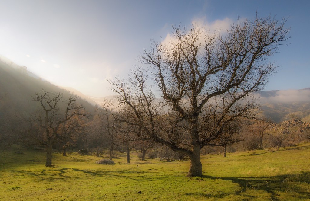
Mariposa Grove, CA
Lake View-The Helm Crew Lake Isabella CA Memorial Weekend 2009
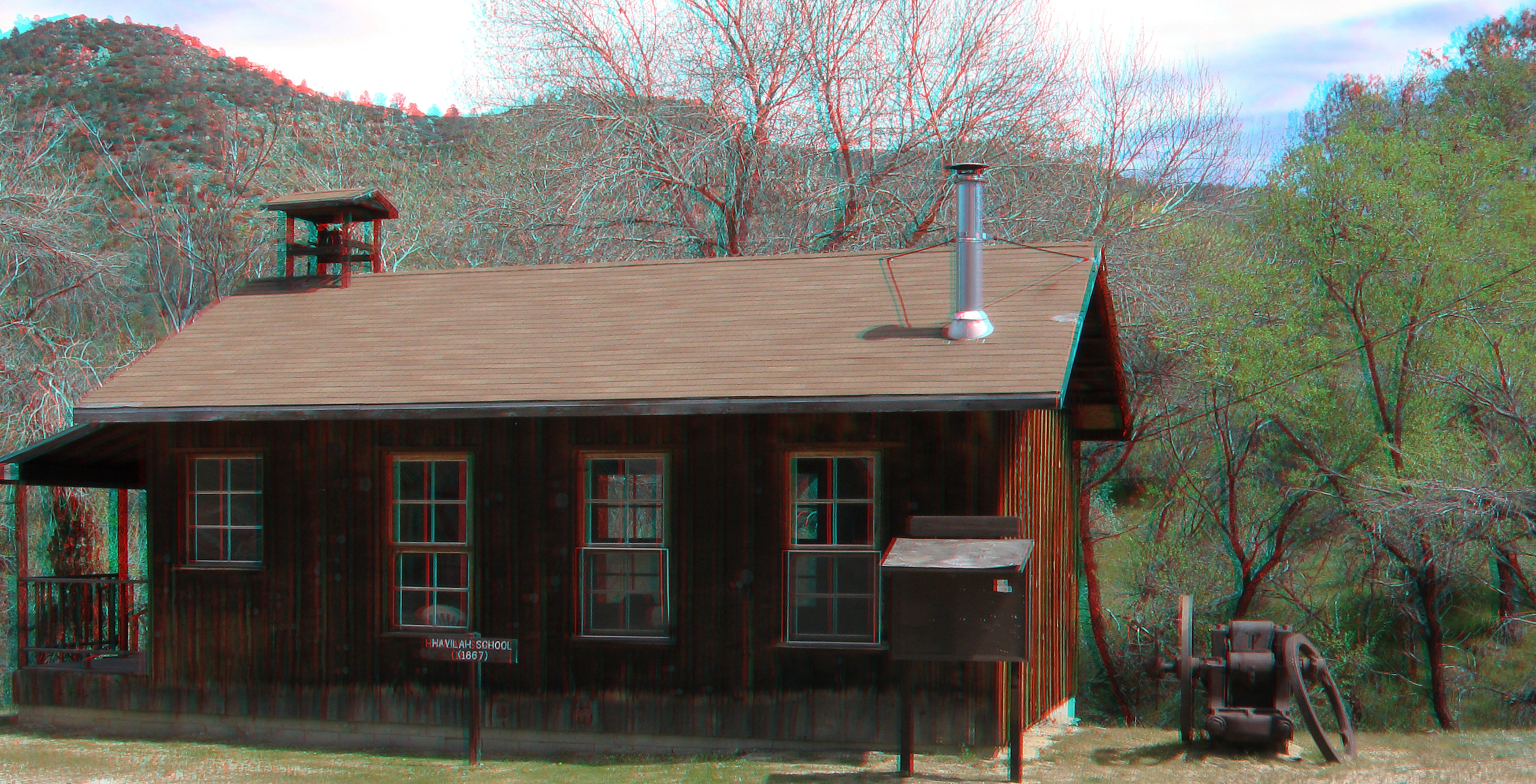
Havilah School 3d
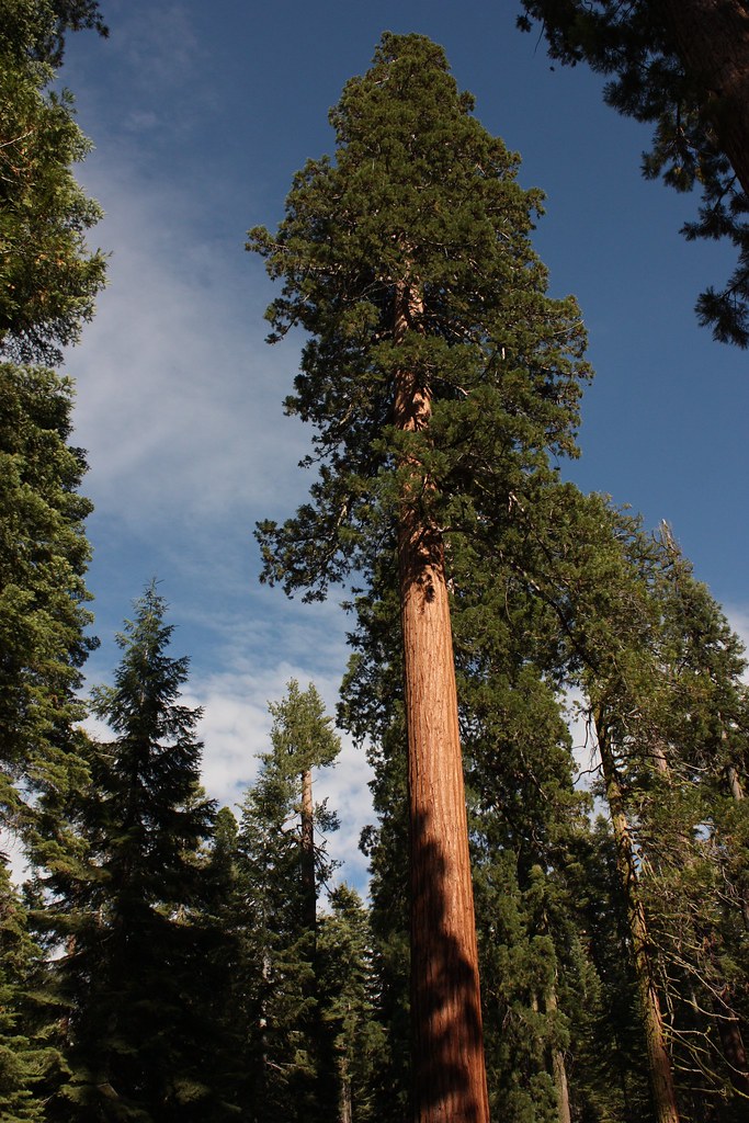
Mariposa Grove, CA

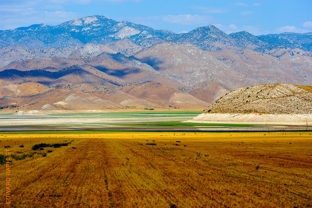
CA Trip Day 9: Isabella Reservoir
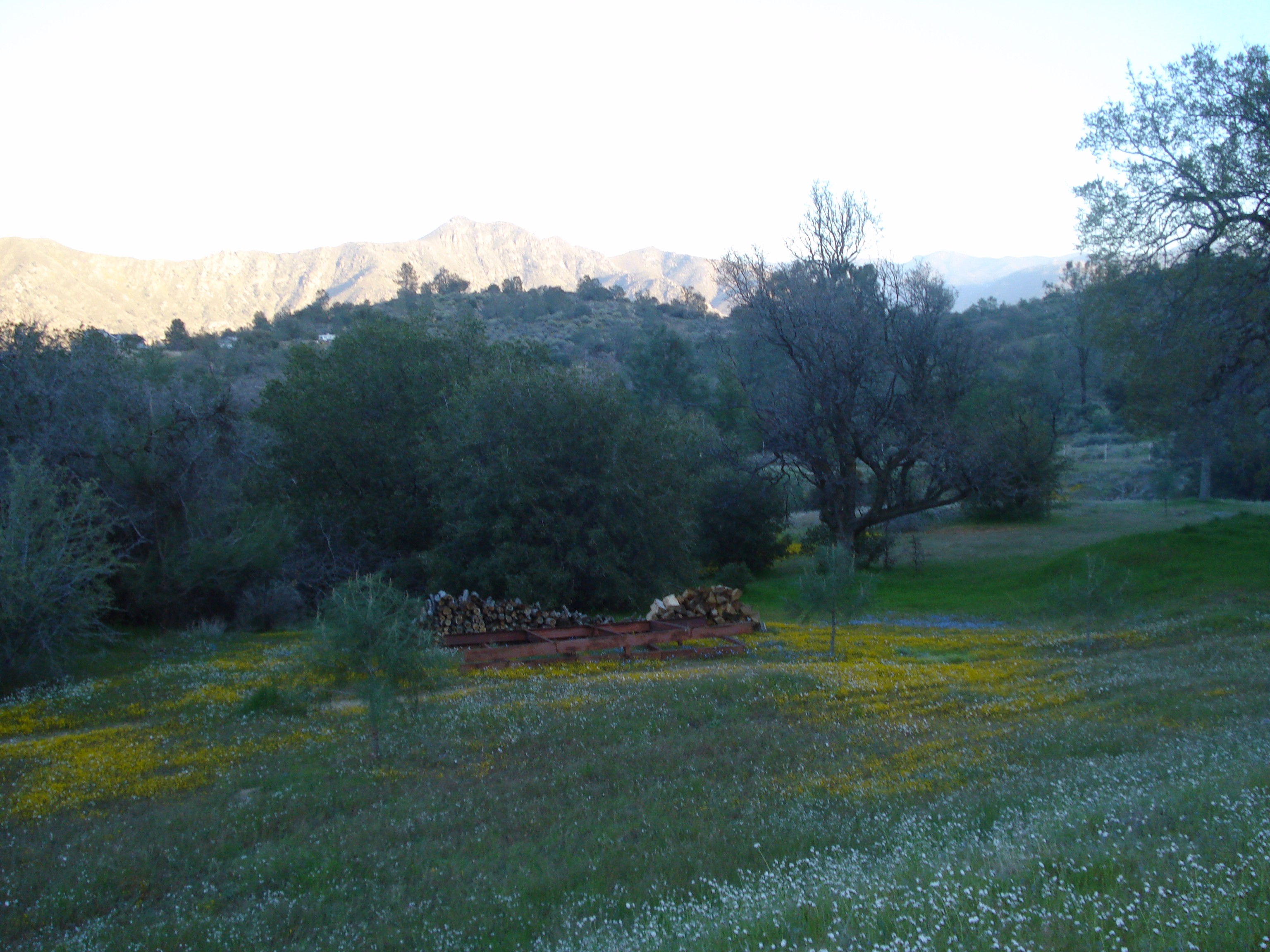
Hill View of Wildflowers and Wood Pile
View from the Lodge-The Helm Crew Lake Isabella CA Memorial Weekend 2009

Shannon with first fish 1991_Lake Isabella
Lodge View-The Helm Crew Lake Isabella CA Memorial Weekend 2009
Frosty Morning

Lake Isabella fly fishing for carp
Lake Isabella, CA
Lake Isabella Sunset

Fading Light at French Gulch
Lake Isabella, California

River playground
Lower Kern River Canyon
Picture Perfect Reflection!

La vallée du Séquoia NP, en attendant qu'on finisse les travaux sur la chaussée...
Lake Isabella

On est bien peu de chose...
Wofford Heights 2017 - 02 Lake Isabella
Lake Isabella

Lower Kern River
Lake Isabella (0520)

20160508_IsabellaHighlands.jpg

California 1 04.02.07

Passage du train 2
Isabella Lake
Topographic Map of Clara Dr, Bodfish, CA, USA
Find elevation by address:

Places near Clara Dr, Bodfish, CA, USA:
1 Gary St
25 Elk Dr, Bodfish, CA, USA
Bodfish
636 Columbus Ave
1387 Bodfish Canyon Rd
500 Poplar Ln
63 N Alpine Way
101 Buckhorn Dr
430 Laurel Dr
63 S Alpine Way
Lake Isabella
32 Conifer Ct
Kern Valley High School
Keysville Rd, Lake Isabella, CA, USA
100 Wofford Heights Blvd
2419 Rembach Ave
2607 Rembach Ave
2613 Rembach Ave
Fern Street
2610 Bodfish Canyon Rd
Recent Searches:
- Elevation of Corso Fratelli Cairoli, 35, Macerata MC, Italy
- Elevation of Tallevast Rd, Sarasota, FL, USA
- Elevation of 4th St E, Sonoma, CA, USA
- Elevation of Black Hollow Rd, Pennsdale, PA, USA
- Elevation of Oakland Ave, Williamsport, PA, USA
- Elevation of Pedrógão Grande, Portugal
- Elevation of Klee Dr, Martinsburg, WV, USA
- Elevation of Via Roma, Pieranica CR, Italy
- Elevation of Tavkvetili Mountain, Georgia
- Elevation of Hartfords Bluff Cir, Mt Pleasant, SC, USA