Elevation map of Pishin, Pakistan
Location: Pakistan > Balochistan >
Longitude: 67.0941198
Latitude: 30.7031124
Elevation: 1548m / 5079feet
Barometric Pressure: 84KPa
Elevation Map:
Satellite Map:
Related Photos:
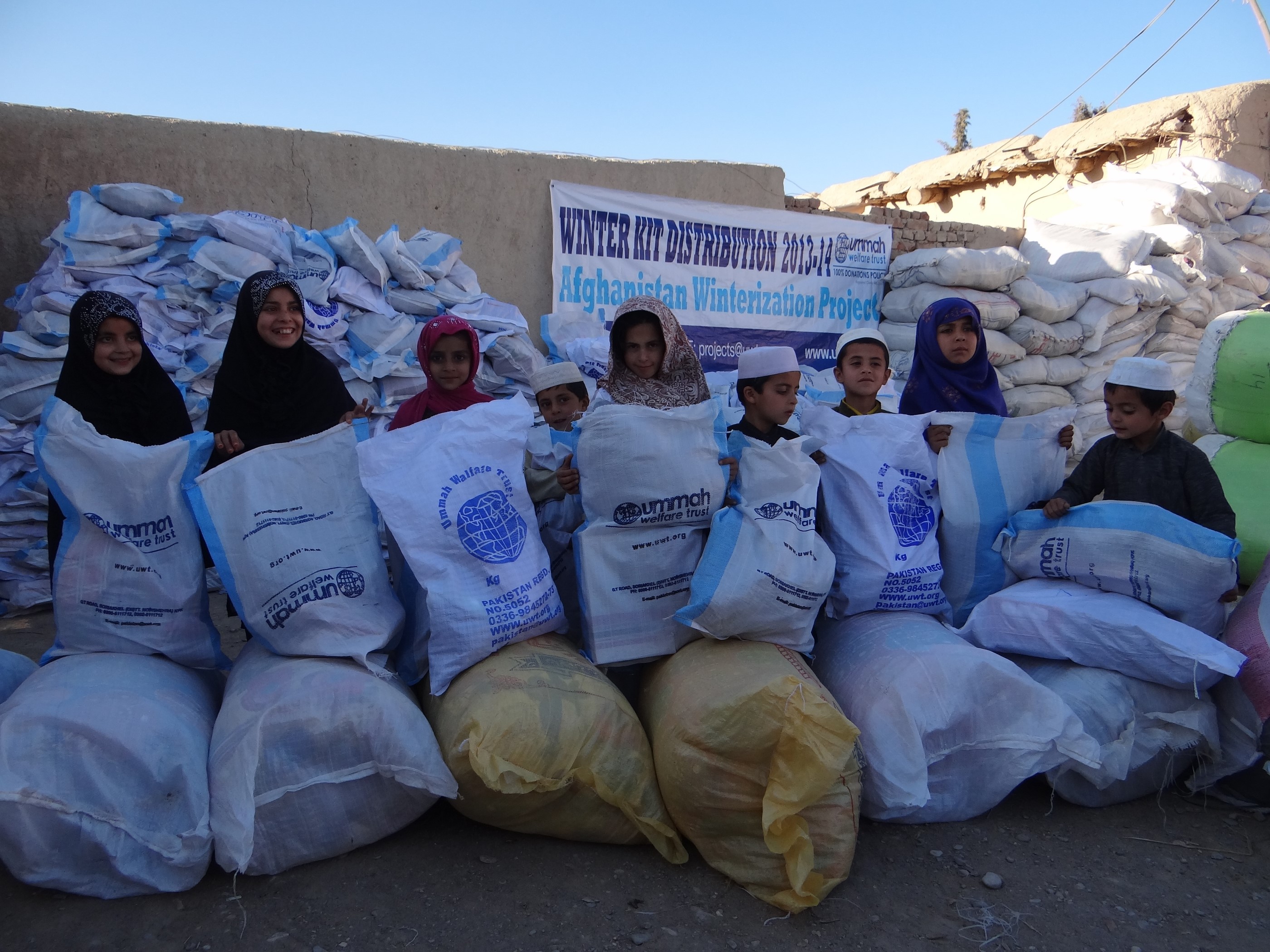
Winter Relief in Afghanistan 2013-14
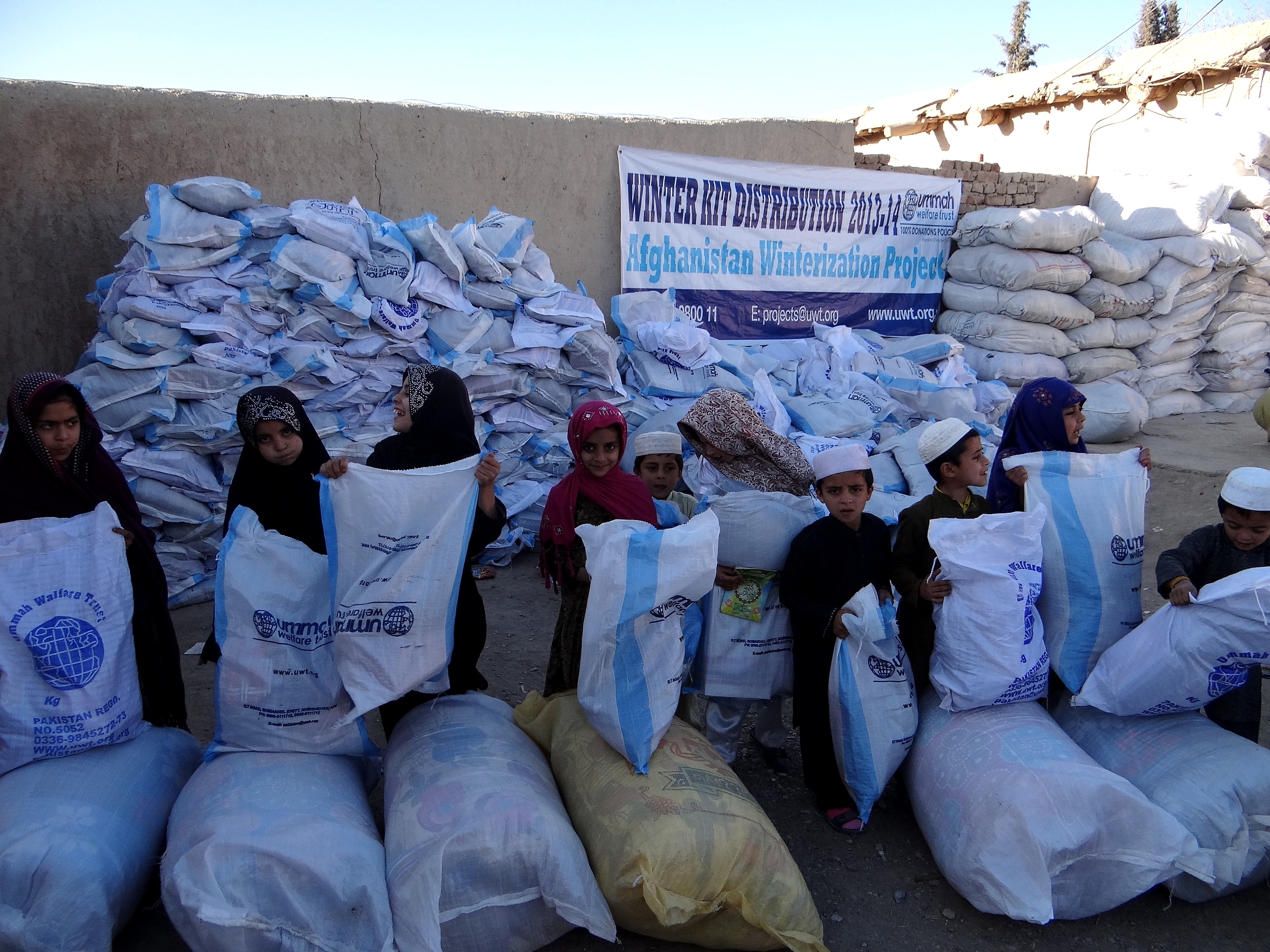
Winter Relief in Afghanistan 2013-14
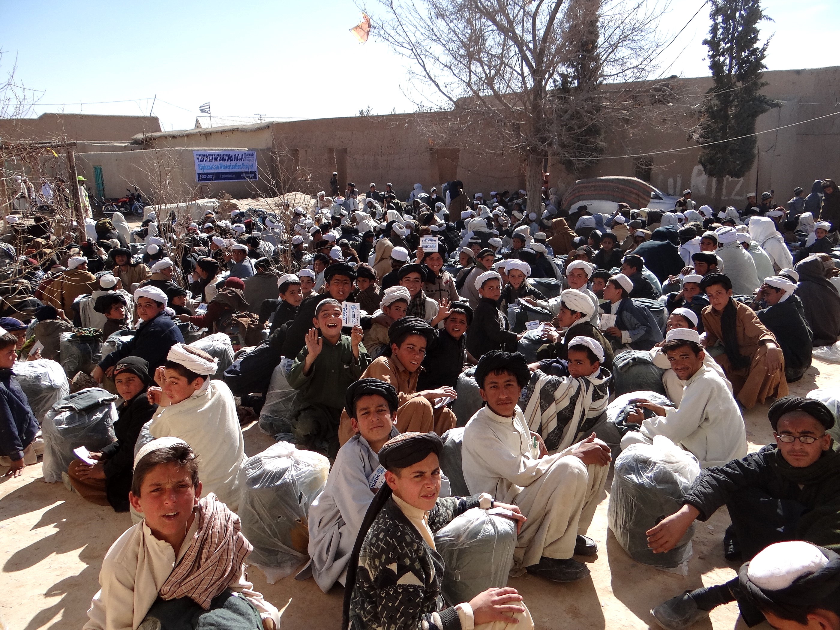
Winter Relief in Afghanistan 2013-14
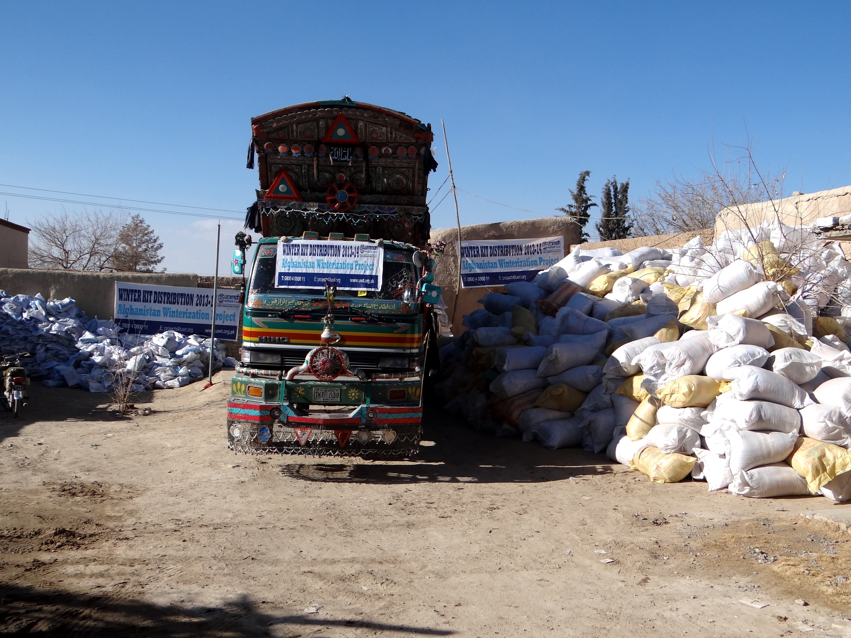
Winter Relief in Afghanistan 2013-14
Topographic Map of Pishin, Pakistan
Find elevation by address:

Places in Pishin, Pakistan:
Places near Pishin, Pakistan:
Pishīn
Pishin
Hurramzai Tehsil
Karezat
Yaru Karez
Ajwa Hotel Restaurant And Banquet Hall عجوہ ہوٹل ریسٹورنٹ اینڈ بنقوٹ ہال
Kuchlak
Dubai Hotel Kuchlak
Qilla Abdullah District
Quetta
Quetta City
Ba Mall
Quetta District
Quetta
Ajwa Milk Shop And Bakery
Killa Abdullah
Chaman
Chaman
Spezand
Spezand Railway Station
Recent Searches:
- Elevation of Corso Fratelli Cairoli, 35, Macerata MC, Italy
- Elevation of Tallevast Rd, Sarasota, FL, USA
- Elevation of 4th St E, Sonoma, CA, USA
- Elevation of Black Hollow Rd, Pennsdale, PA, USA
- Elevation of Oakland Ave, Williamsport, PA, USA
- Elevation of Pedrógão Grande, Portugal
- Elevation of Klee Dr, Martinsburg, WV, USA
- Elevation of Via Roma, Pieranica CR, Italy
- Elevation of Tavkvetili Mountain, Georgia
- Elevation of Hartfords Bluff Cir, Mt Pleasant, SC, USA