Elevation of Pinecrest Christian Conference Center, crest road, Pine Crest Rd, Twin Peaks, CA, USA
Location: United States > California > San Bernardino County > Twin Peaks >
Longitude: -117.24396
Latitude: 34.233306
Elevation: 1660m / 5446feet
Barometric Pressure: 83KPa
Elevation Map:
Satellite Map:
Related Photos:

A Face Only UP Could Love

Islands in the Mist

South from Marie Louise

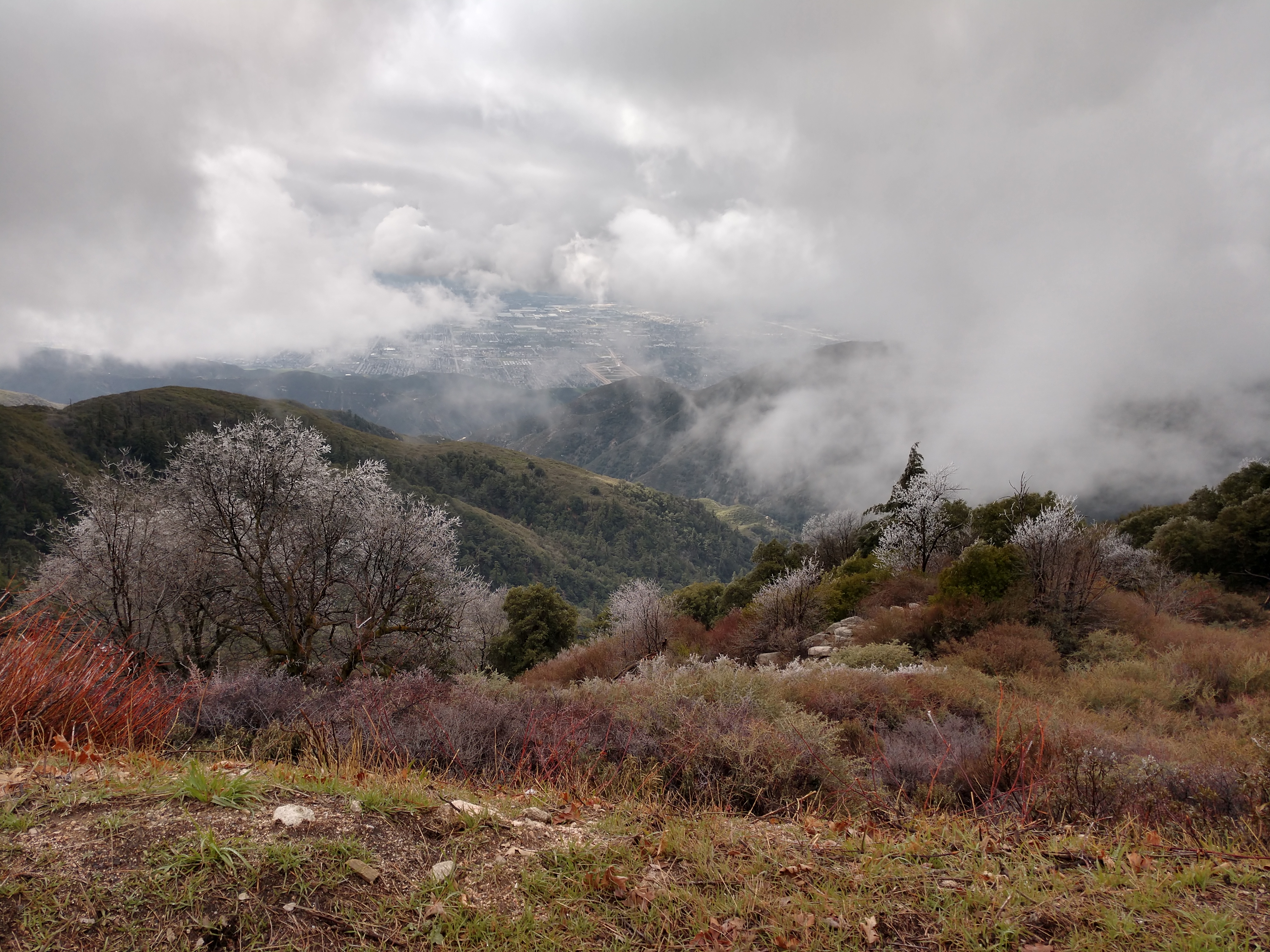
Overlooking the Inland Empire
Crestline, California U.S.A. - March 9, 2019

San Bernardino Bicentennial Celebration

What A Blast!

Southwest Chief @ San Bernardino Ca.

A Mixture of Fog and Clouds

prcssd. combat camera. san bernardino, ca. 2011.
Not So Beautiful Boosters

SD Trucks In The Shops Over The Pit
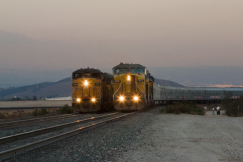
Two @ Dike

May your day be blessed and full of strippers and burritos or pizza Birds ???? eye ???? view #330

View from a chairlift

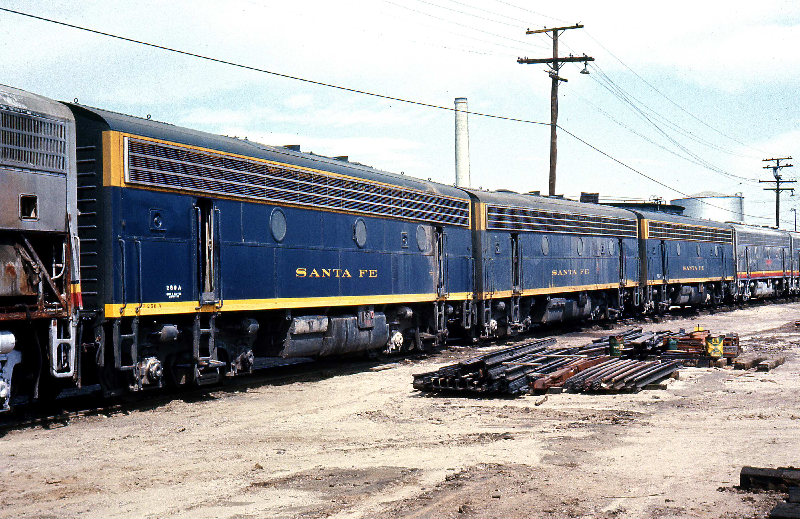
Santa Fe Main Leaving San Bernardino

The Inland Empire Lights

The IE from the Mountains Above

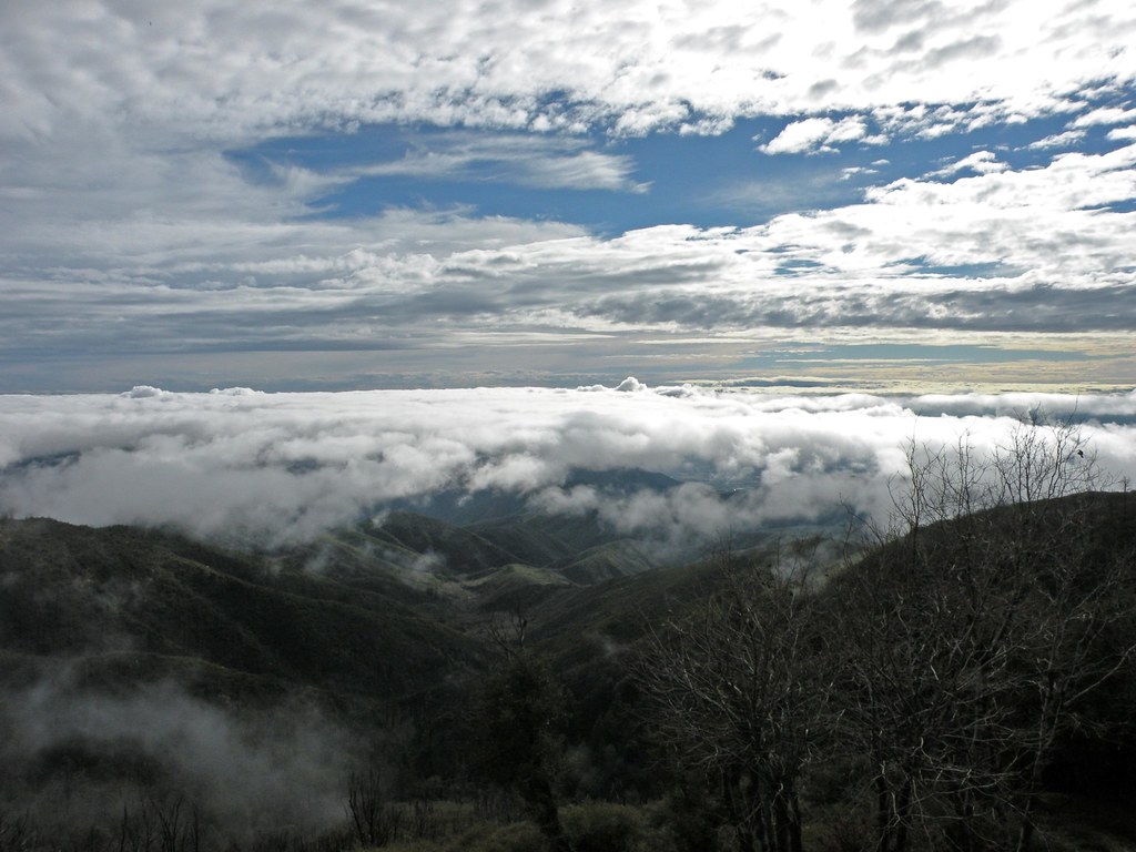
Above the Clouds
View From Work
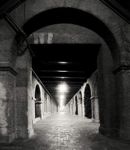
Station Corridor
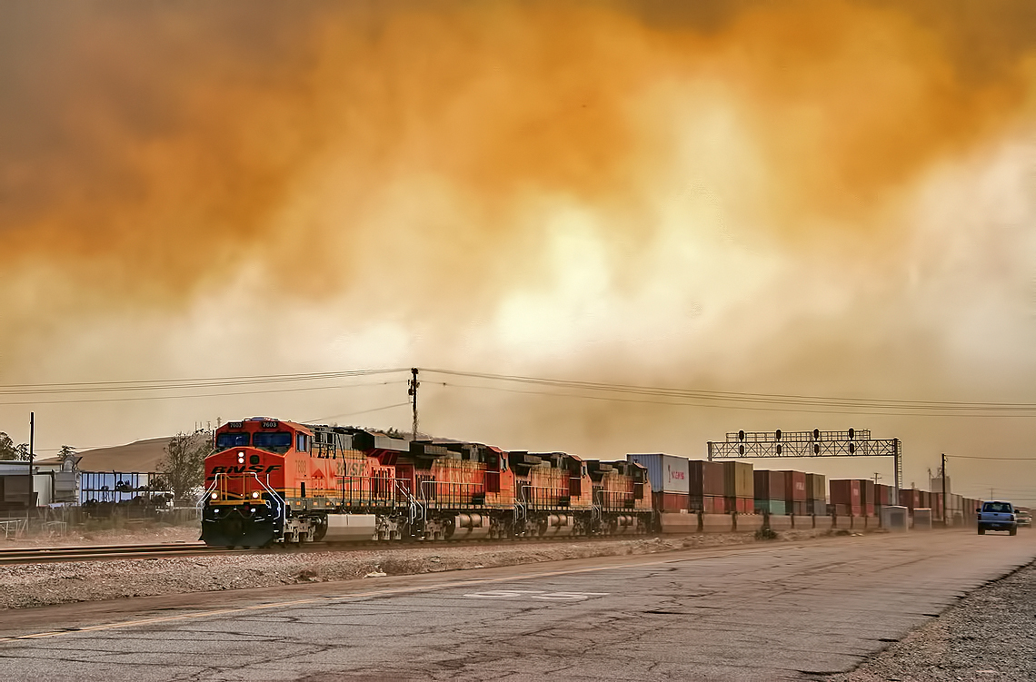
Read the link. BNSF Train under the Old Fire smoke
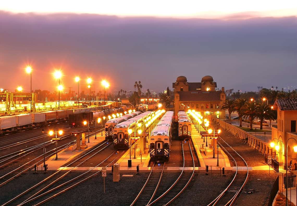
The Historic Santa Fe Depot in Downtown San Bernardino
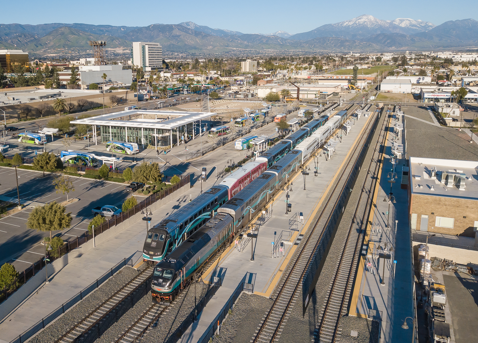
SCAX 911 (EMD F125) Metrolink San Bernardino Downtown Station
Green Topographic
Waterfall of Light
Desert trip

#sanbernardinomountains #mountains #runningsprings #hwy18
Rim of the World Highway, San Bernardino County, California U.S.A. - March 9, 2019

San Bernardino city and National Forest

Rim of the World Highway

Sunset at Rim of the World

Above it all
Fire on the Water
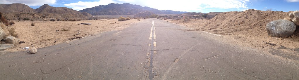
Deserted highway
Silverwood Lake, CA

110-365 Fishing Reconnaissance
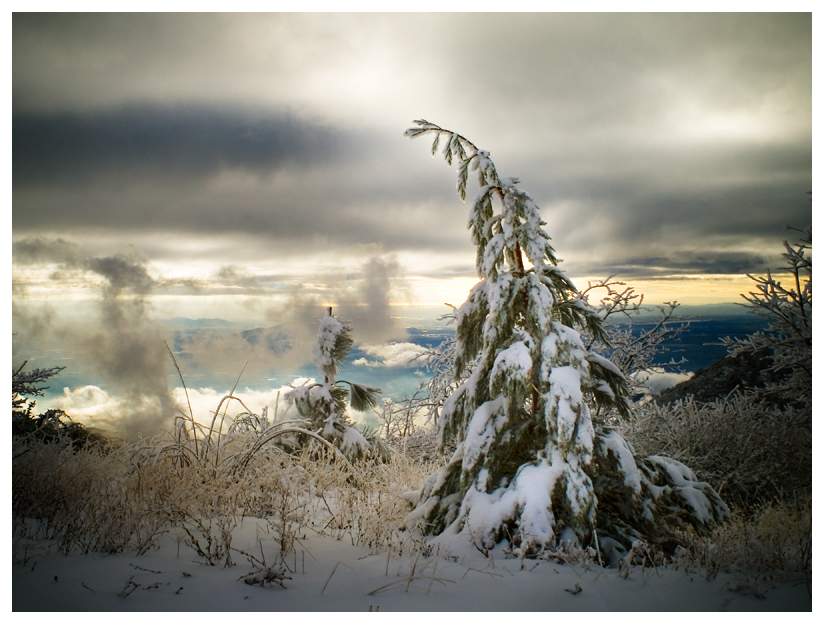
I never thought I would outlive the trees
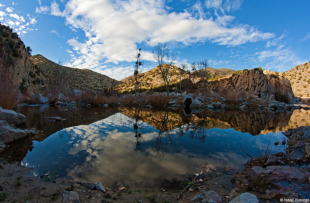
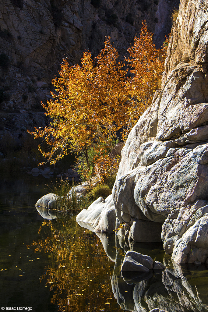
Canyon Reflections - Deep Creek, California
Topographic Map of Pinecrest Christian Conference Center, crest road, Pine Crest Rd, Twin Peaks, CA, USA
Find elevation by address:

Places near Pinecrest Christian Conference Center, crest road, Pine Crest Rd, Twin Peaks, CA, USA:
1076 Calanda Dr
Twin Peaks
668 Chillon Dr
983 Chateau Dr
1376 Valley View Way
25187 Ca-18
656 Chateau Dr
791 Chateau Dr
Basel Drive
Basel Drive
25152 Boa Dr
801 Arosa Dr
882 Balsam Ln
24933 Faulhorn Dr
416 Cedarbrook Dr
25112 Boa Dr
547 Rose Ln
26174 Boulder Ln
26174 Boulder Ln
758 Arosa Dr
Recent Searches:
- Elevation of Corso Fratelli Cairoli, 35, Macerata MC, Italy
- Elevation of Tallevast Rd, Sarasota, FL, USA
- Elevation of 4th St E, Sonoma, CA, USA
- Elevation of Black Hollow Rd, Pennsdale, PA, USA
- Elevation of Oakland Ave, Williamsport, PA, USA
- Elevation of Pedrógão Grande, Portugal
- Elevation of Klee Dr, Martinsburg, WV, USA
- Elevation of Via Roma, Pieranica CR, Italy
- Elevation of Tavkvetili Mountain, Georgia
- Elevation of Hartfords Bluff Cir, Mt Pleasant, SC, USA