Elevation of Pine Spring Dr, Bayfield, CO, USA
Location: United States > Colorado > Bayfield >
Longitude: -107.51413
Latitude: 37.308696
Elevation: 2369m / 7772feet
Barometric Pressure: 76KPa
Elevation Map:
Satellite Map:
Related Photos:

Ready to Fly
View from the Deck

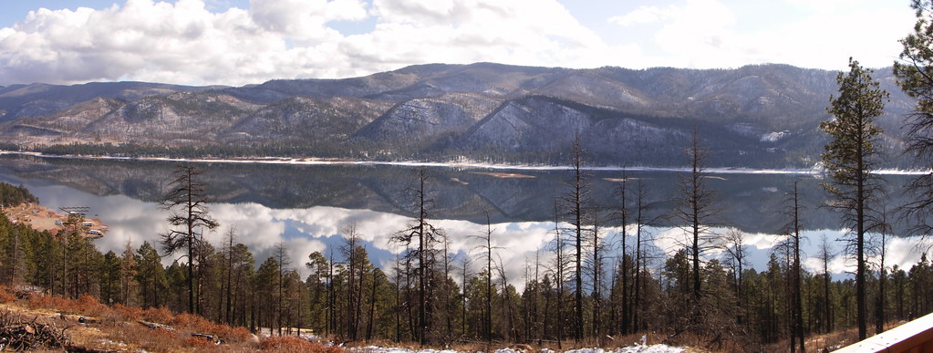
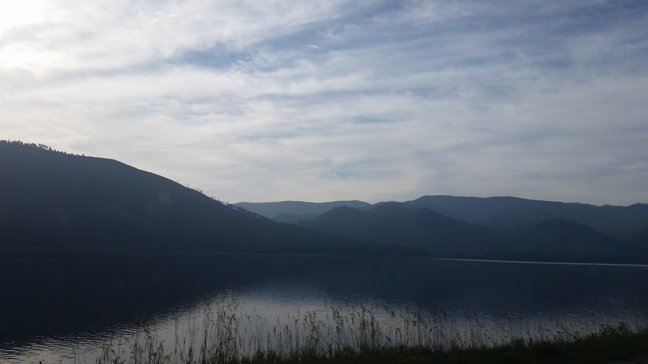
Vallecito Resevoir

Vallecito Resevoir
The view from the cabin
5844 View from Route 501 of the Pine River Valley as I drive the car back to the Pine River Campground
5834 View from our campsite at the Pine River Campground of Peak 9777
Sheep on a country road

Morning Descends, II

Along the Shore
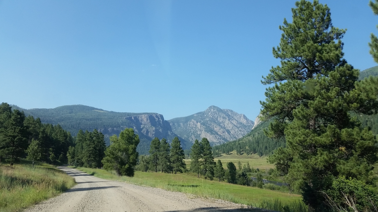
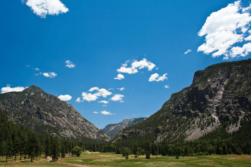
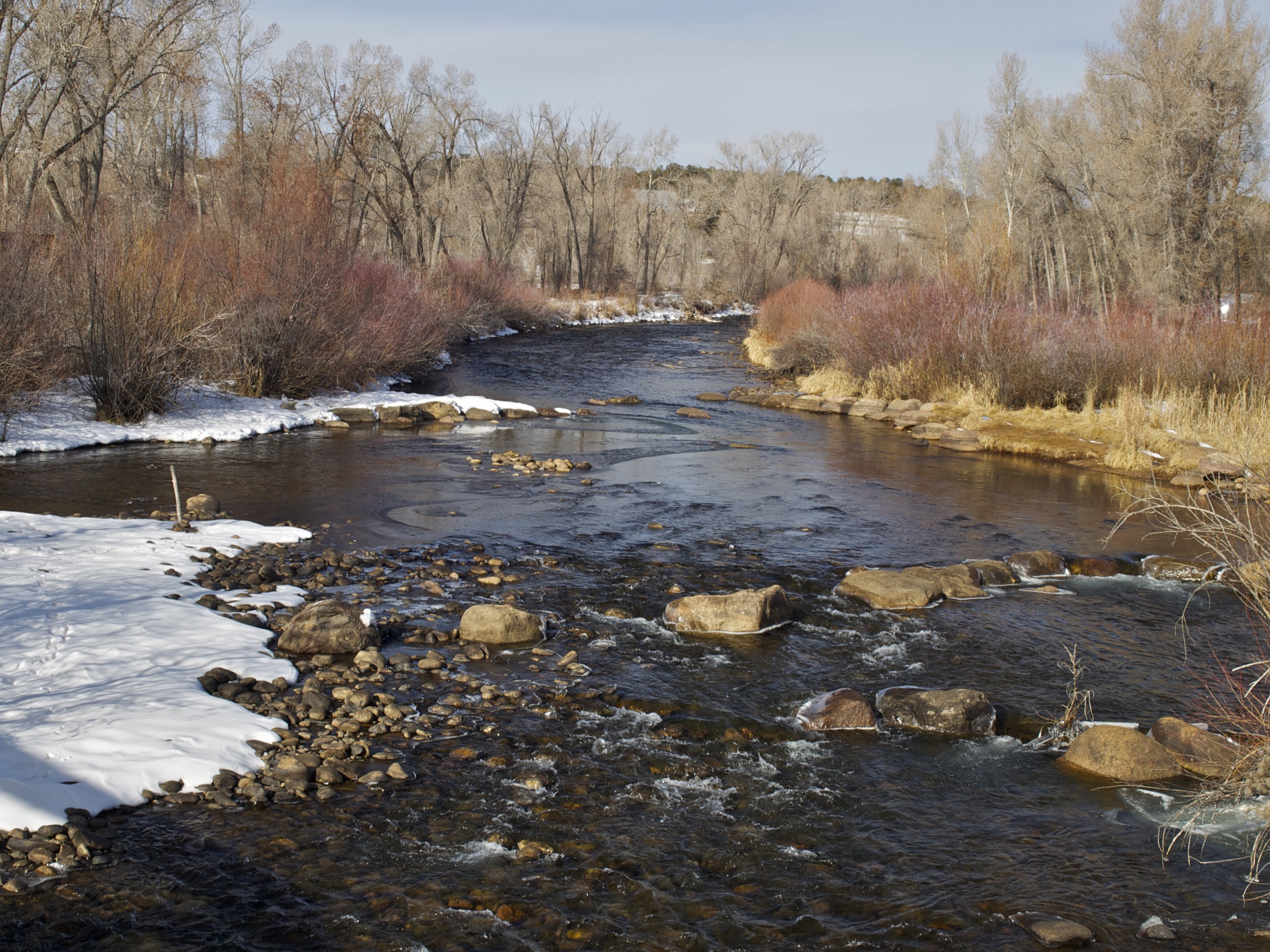
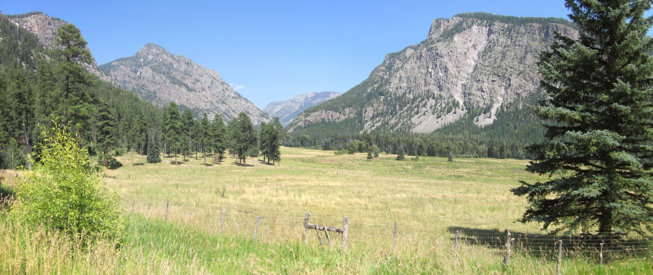
Pine River Valley

5899 Sunrise over the Pine River Valley from the Pine River Campground
Along the Shore
Along the Shore

Sunset out in the sticks
Granite Peaks
Mesa Verde Trip-3

2615 Sunrise over Vallecito Reservoir with Irving Peak (13218 feet elevation) and a fisherman in a boat

Mesa Verde Trip-2
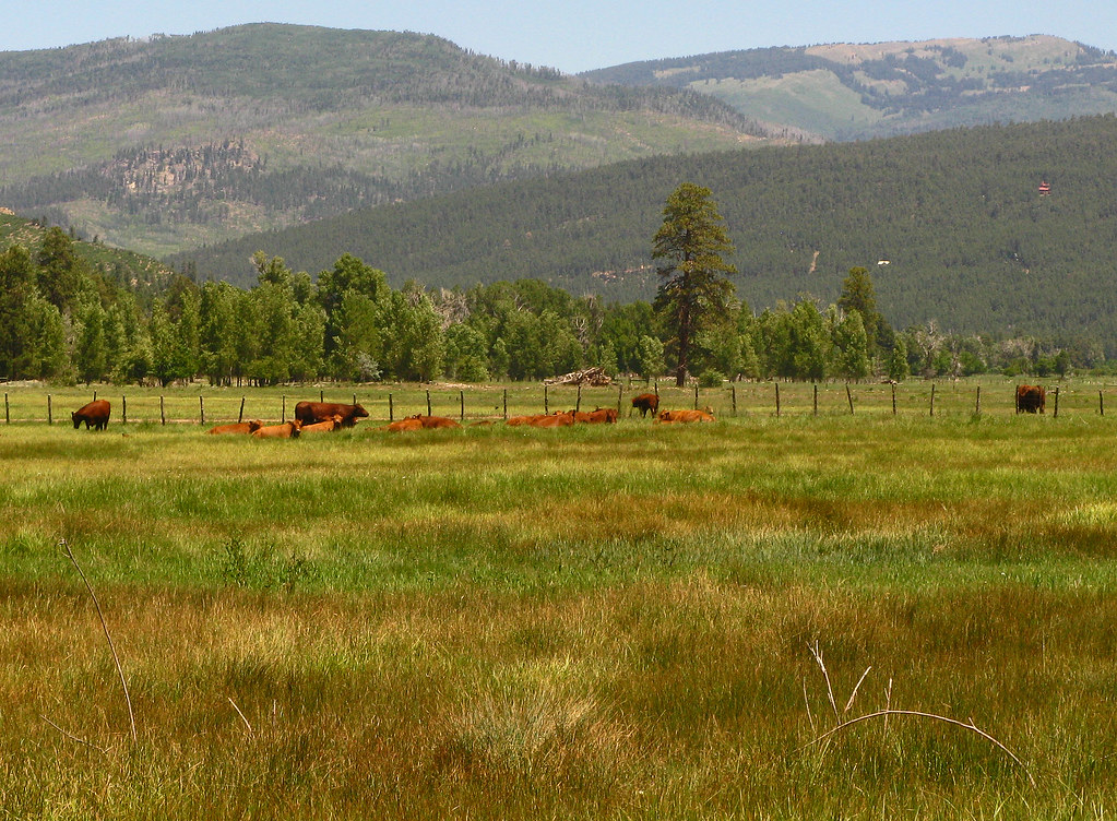
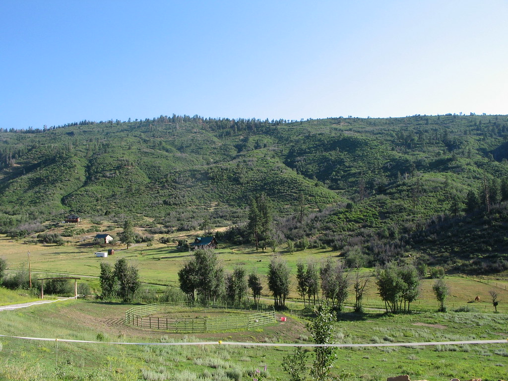
Red Angus: River Ranch: North of Bayfield, Colorado (CO)

Lakeside Campfire
Mesa Verde Trip-6
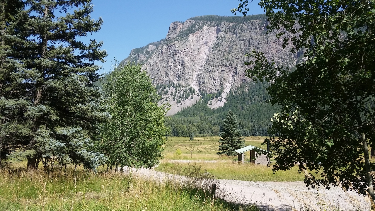
Los Pinos River C
5825 Looking out from the Pine River Campground at Runlett Peak (11288 feet) and Peaks 11405 and 9777

[earth-marathon-blog:00852] 山。
5961 Vallecito Reservoir in the morning as we drive back home
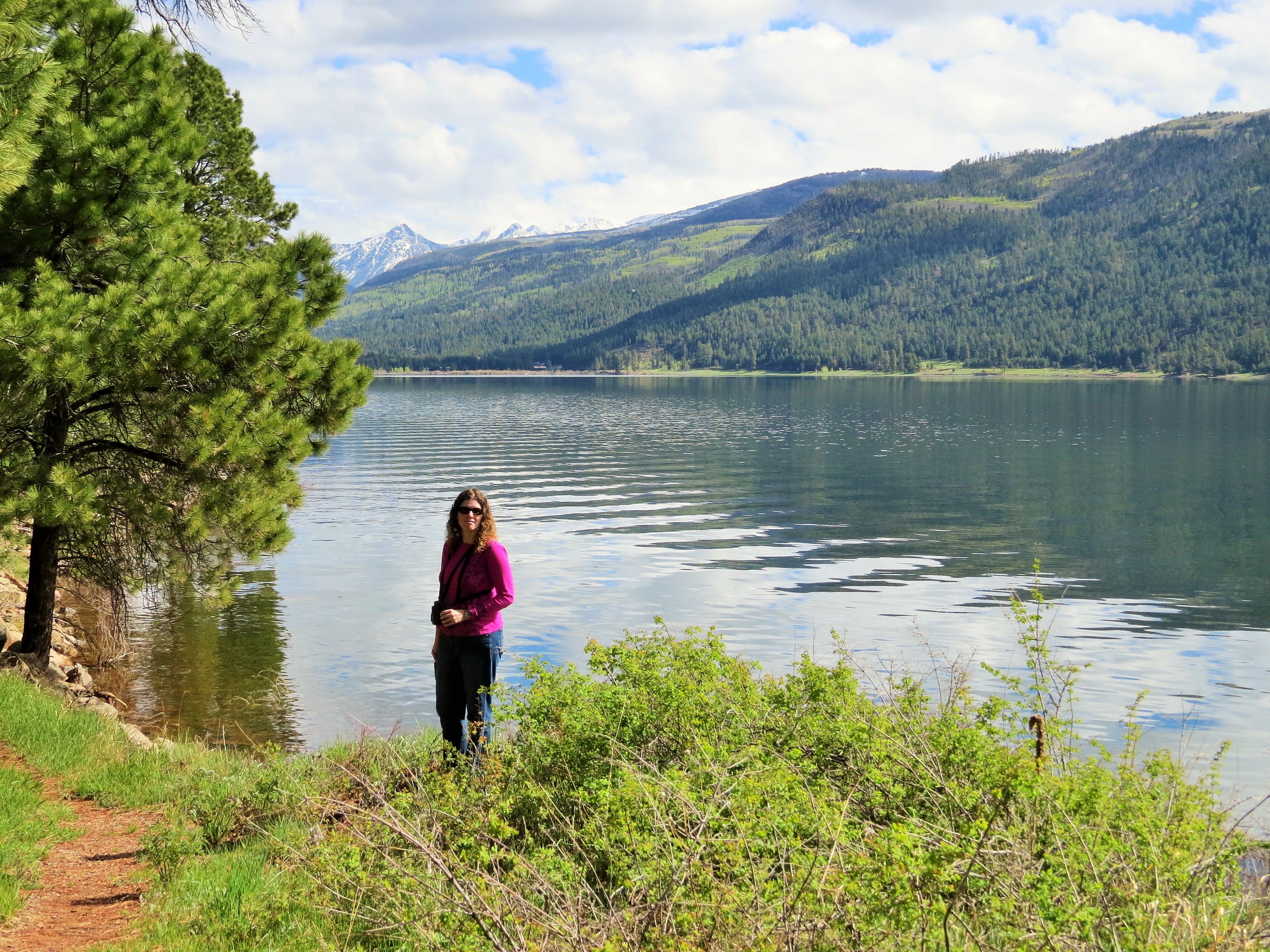
Amy at the Reservoir

Hiker Heaven
Topographic Map of Pine Spring Dr, Bayfield, CO, USA
Find elevation by address:

Places near Pine Spring Dr, Bayfield, CO, USA:
137 Severin Peak Rd
905 Pine Spring Dr
Pine Spring Drive
555 Pine Spring Dr
Bear Canyon Drive
47807 Us-160
627 Elk Valley Rd
31861 Us-160
106 Little Bear Dr
84 Little Bear Dr
904 Pinetree Dr
75 E Forest Lakes Dr
317 Hillside Dr
1687 Pine Valley Rd
1080 Alpine Forest Dr
311 Lakeview Dr
597 San Moritz Dr
984 Blue Ridge Dr
529 San Moritz Dr
32 Forest Lakes Dr
Recent Searches:
- Elevation of Corso Fratelli Cairoli, 35, Macerata MC, Italy
- Elevation of Tallevast Rd, Sarasota, FL, USA
- Elevation of 4th St E, Sonoma, CA, USA
- Elevation of Black Hollow Rd, Pennsdale, PA, USA
- Elevation of Oakland Ave, Williamsport, PA, USA
- Elevation of Pedrógão Grande, Portugal
- Elevation of Klee Dr, Martinsburg, WV, USA
- Elevation of Via Roma, Pieranica CR, Italy
- Elevation of Tavkvetili Mountain, Georgia
- Elevation of Hartfords Bluff Cir, Mt Pleasant, SC, USA