Elevation of 84 Little Bear Dr, Bayfield, CO, USA
Location: United States > Colorado > Bayfield >
Longitude: -107.58301
Latitude: 37.321938
Elevation: 2296m / 7533feet
Barometric Pressure: 77KPa
Elevation Map:
Satellite Map:
Related Photos:

Up At Vallecito!

Picture perfect view
View from the Deck
Ready to Fly
Middle Mountain Road
5834 View from our campsite at the Pine River Campground of Peak 9777
5844 View from Route 501 of the Pine River Valley as I drive the car back to the Pine River Campground
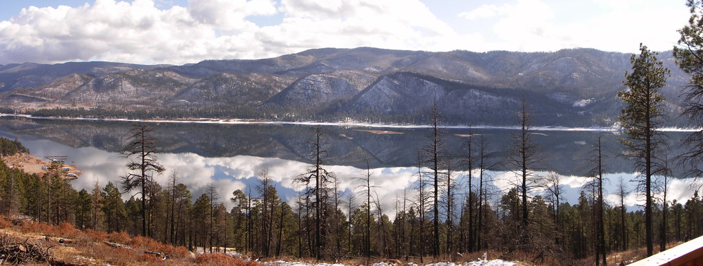
Pine River Valley

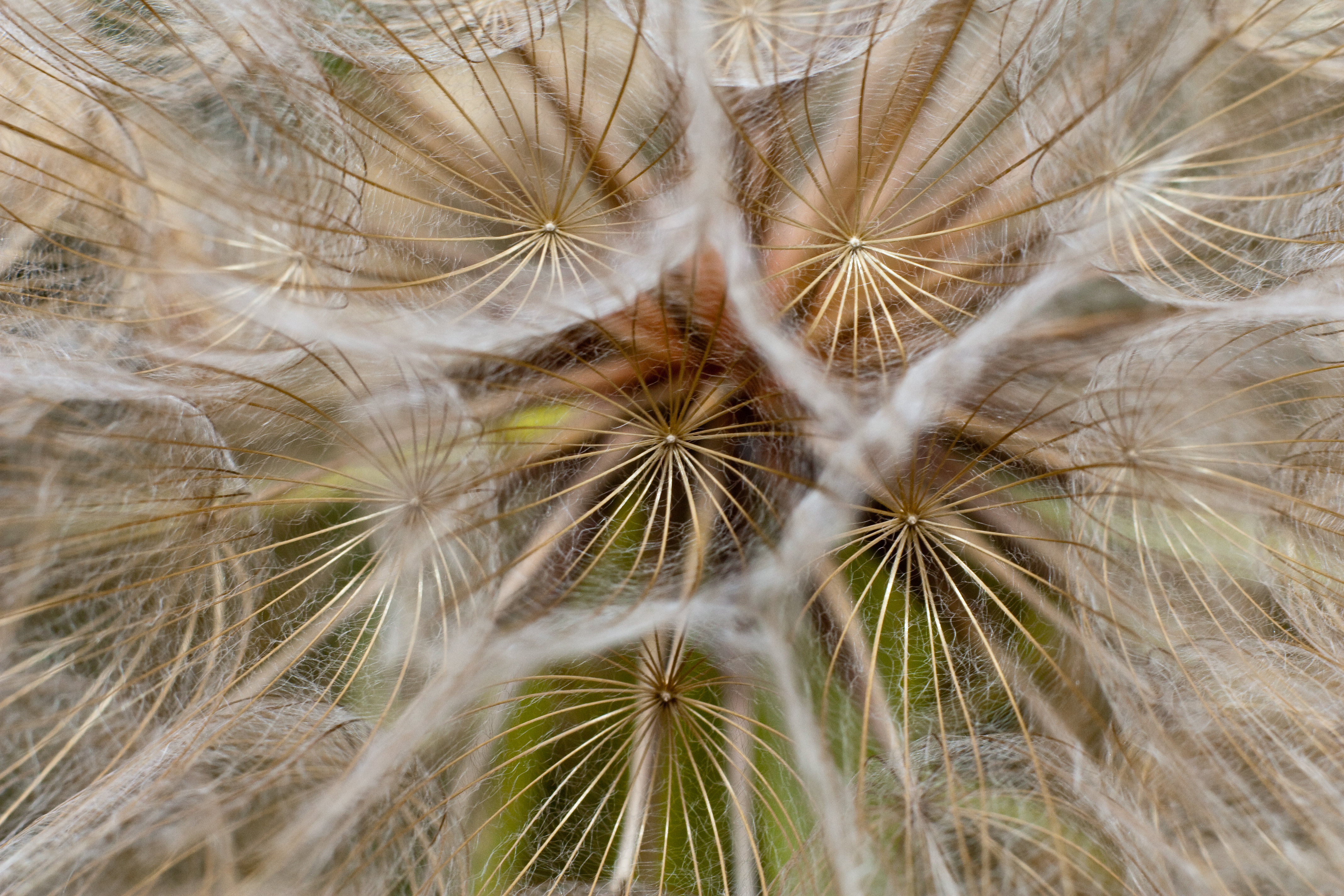
Beauty Everywhere

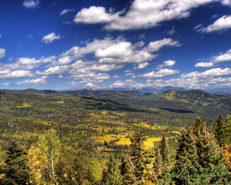
Fall Colors in Colorado
Lemon Reservoir in Durango, Colorado, 2 days ago. There is no snow and it is February. Looks drought could be on the horizon.
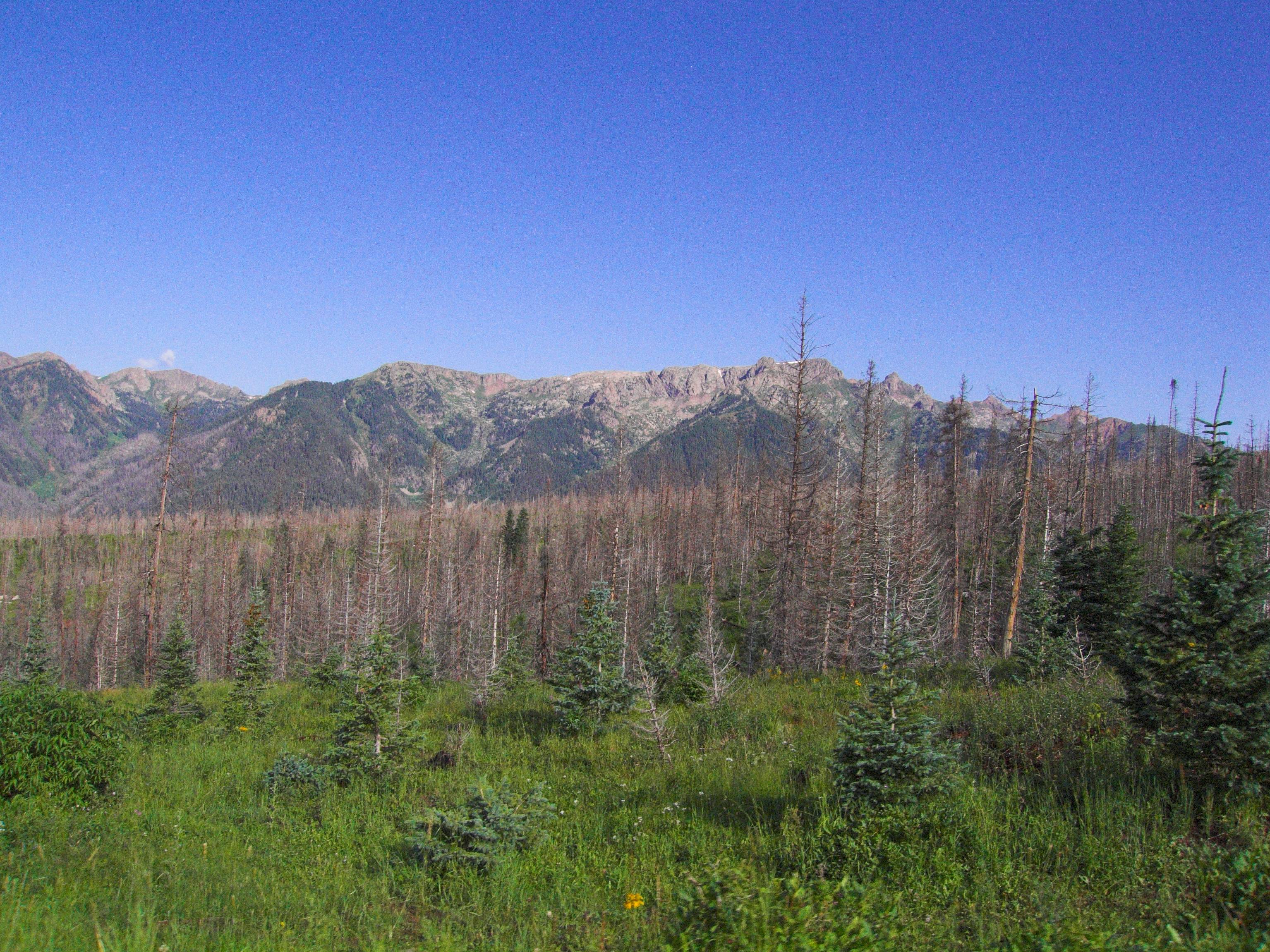
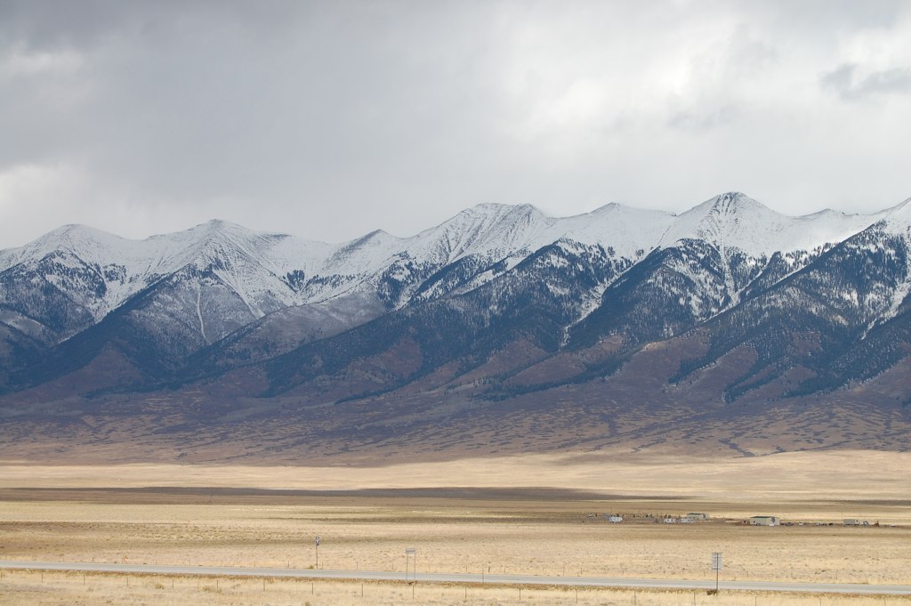
Granite Peaks
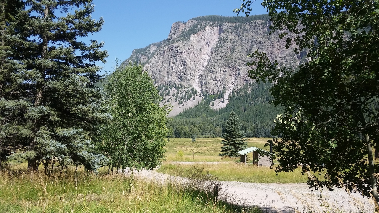
Piedra Overlook
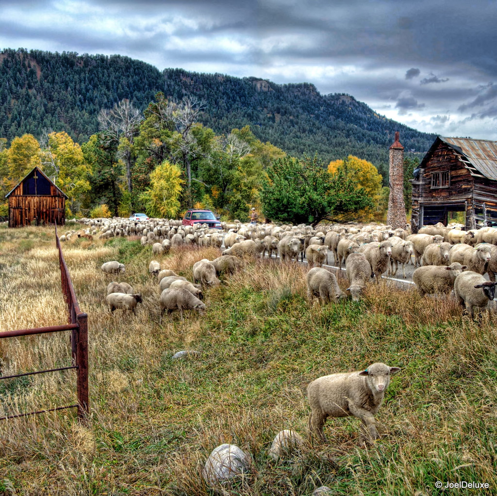
Sheep on a country road
Along the Shore

Morning Descends, II

Along the Shore

Sunset out in the sticks

5899 Sunrise over the Pine River Valley from the Pine River Campground
Beaver Meadows
Mesa Verde Trip-3

P1010779.jpg
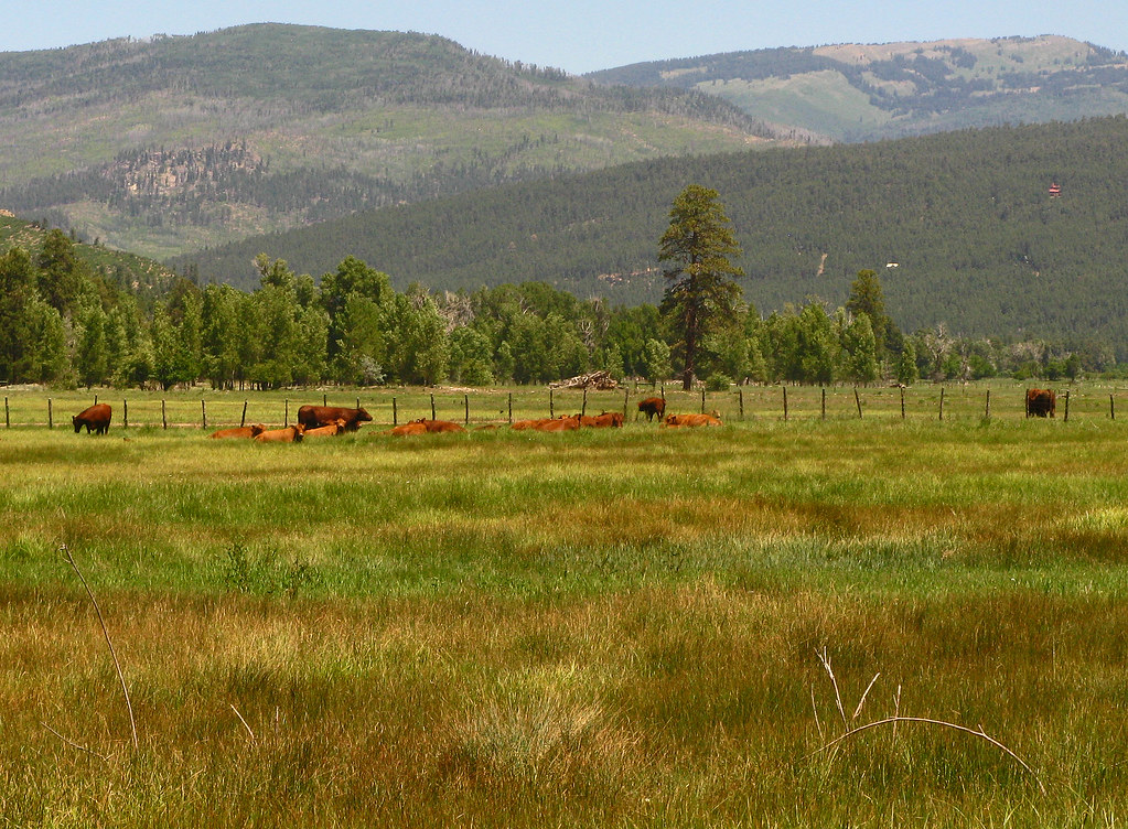
Red Angus: River Ranch: North of Bayfield, Colorado (CO)
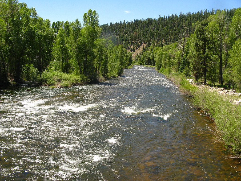
Los Pinos River: North of Bayfield, Colorado (CO)
Mesa Verde Trip-6
Topographic Map of 84 Little Bear Dr, Bayfield, CO, USA
Find elevation by address:

Places near 84 Little Bear Dr, Bayfield, CO, USA:
106 Little Bear Dr
75 E Forest Lakes Dr
904 Pinetree Dr
1687 Pine Valley Rd
1080 Alpine Forest Dr
317 Hillside Dr
597 San Moritz Dr
311 Lakeview Dr
529 San Moritz Dr
32 Forest Lakes Dr
75 Forest Lakes Dr
984 Blue Ridge Dr
1142 Deer Ridge Dr
847 Blue Ridge Dr
224 Meadowbrook Dr
246 San Moritz Dr
200 Forest Lakes Dr
774 Blue Ridge Dr
Forest Lakes Drive
108 Chateau Ln
Recent Searches:
- Elevation of Corso Fratelli Cairoli, 35, Macerata MC, Italy
- Elevation of Tallevast Rd, Sarasota, FL, USA
- Elevation of 4th St E, Sonoma, CA, USA
- Elevation of Black Hollow Rd, Pennsdale, PA, USA
- Elevation of Oakland Ave, Williamsport, PA, USA
- Elevation of Pedrógão Grande, Portugal
- Elevation of Klee Dr, Martinsburg, WV, USA
- Elevation of Via Roma, Pieranica CR, Italy
- Elevation of Tavkvetili Mountain, Georgia
- Elevation of Hartfords Bluff Cir, Mt Pleasant, SC, USA