Elevation of Deer Ridge Dr, Bayfield, CO, USA
Location: United States > Colorado > Bayfield >
Longitude: -107.59784
Latitude: 37.328313
Elevation: 2340m / 7677feet
Barometric Pressure: 76KPa
Elevation Map:
Satellite Map:
Related Photos:
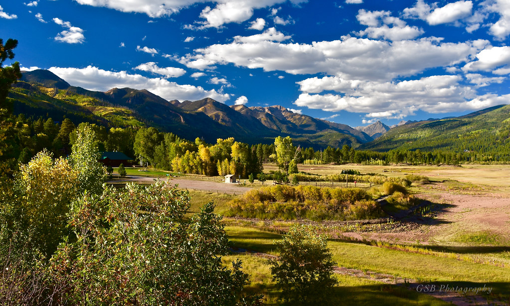
Cool Water Ranch, Colorado

Lemon Reservoir, Colorado

Picture perfect view

Ready to Fly

Middle Mountain Road
Middle Mountain Road

Up At Vallecito!

View from the Deck

Vallecito Resevoir

Vallecito Resevoir

5844 View from Route 501 of the Pine River Valley as I drive the car back to the Pine River Campground

5834 View from our campsite at the Pine River Campground of Peak 9777

The view from the cabin

Beauty Everywhere
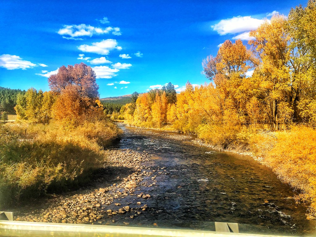
Fall Colors in Colorado

Lemon Reservoir in Durango, Colorado, 2 days ago. There is no snow and it is February. Looks drought could be on the horizon.

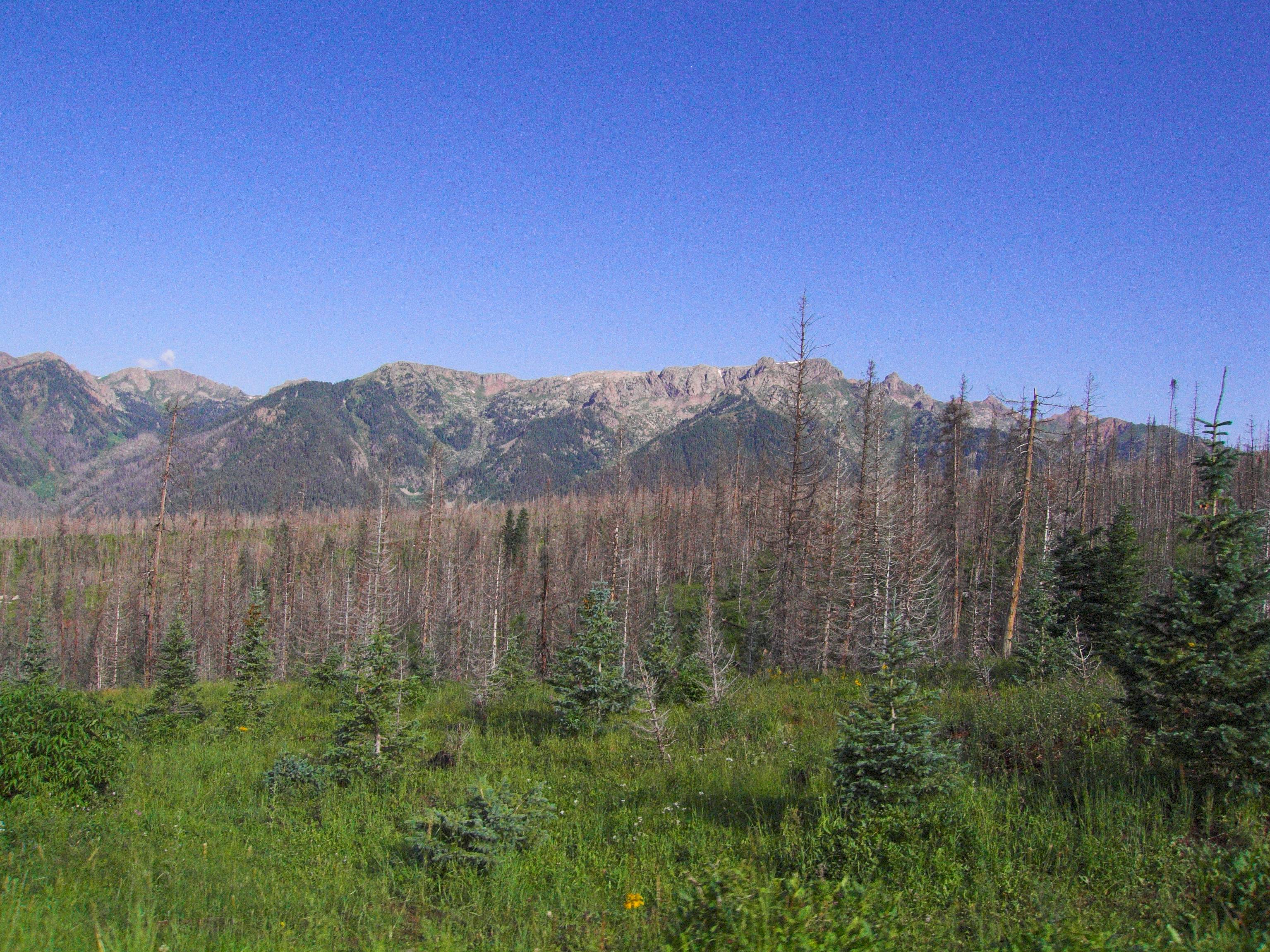
Pine River Valley

Lurching Cloud Dragon

North, across Lake Vallecito

Magical Morning

Sheep on a country road

Entering Archuleta County (Archuleta County, Colorado)

Los Pinos River: North of Bayfield, Colorado (CO)

Red Angus: River Ranch: North of Bayfield, Colorado (CO)
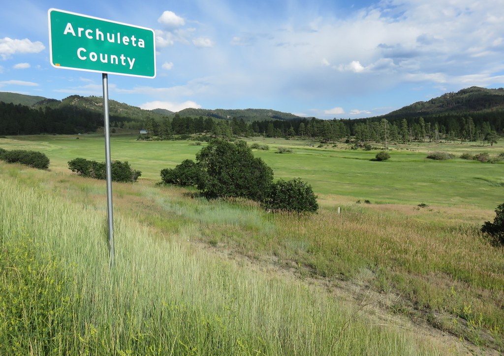
Entering Archuleta County (Archuleta County, Colorado)
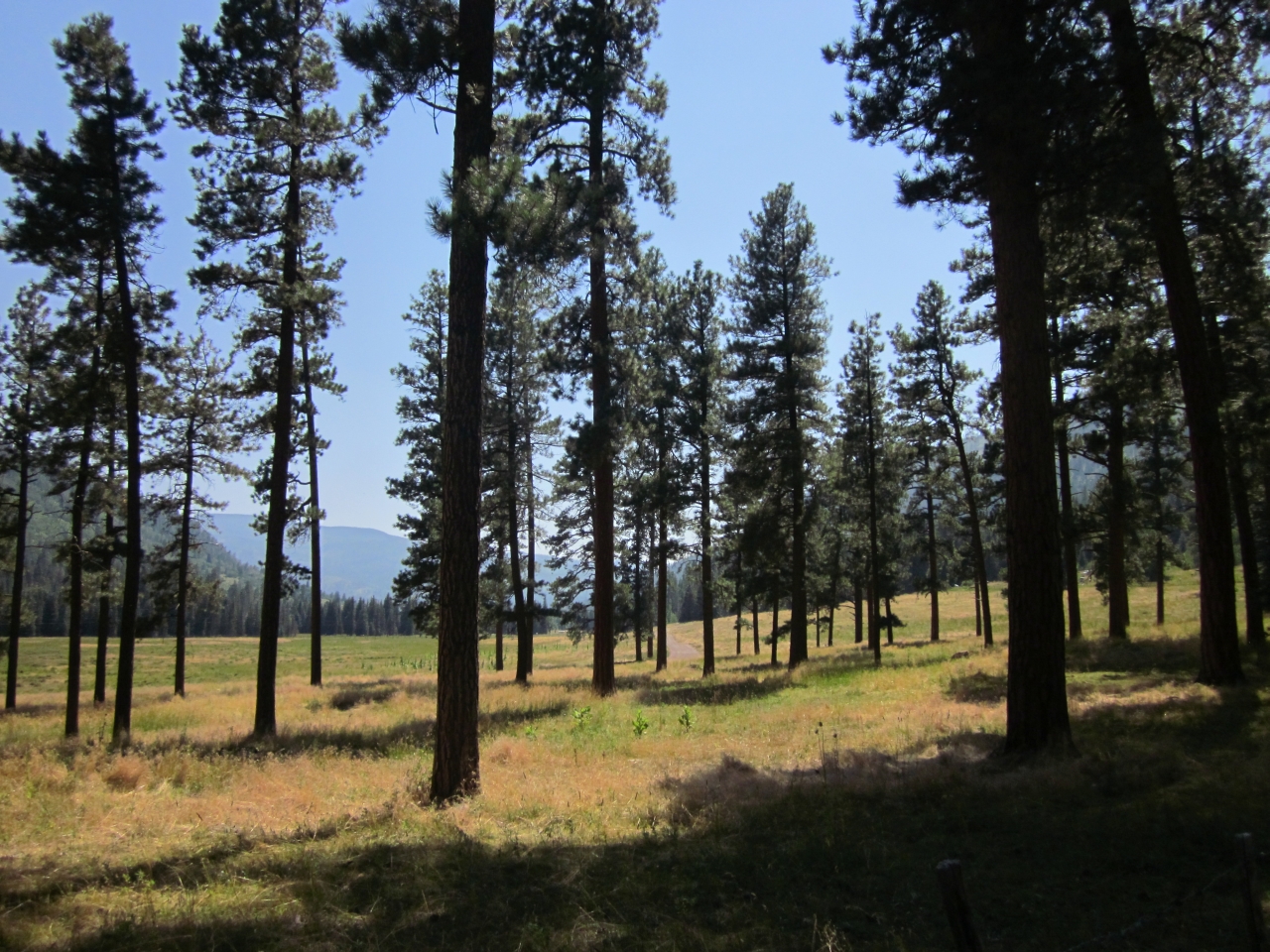
5811 Grassy meadow under tall pines from the Pine River Trail at the Granite Peak Ranch
Topographic Map of Deer Ridge Dr, Bayfield, CO, USA
Find elevation by address:

Places near Deer Ridge Dr, Bayfield, CO, USA:
75 Forest Lakes Dr
32 Forest Lakes Dr
891 Deer Ridge Dr
200 Forest Lakes Dr
Forest Lakes Drive
529 San Moritz Dr
774 Blue Ridge Dr
246 San Moritz Dr
597 San Moritz Dr
847 Blue Ridge Dr
311 Lakeview Dr
224 Meadowbrook Dr
984 Blue Ridge Dr
1687 Pine Valley Rd
1080 Alpine Forest Dr
456 Mesa Dr
504 Blue Ridge Dr
34 San Moritz Dr
112 Ridgetop Dr
583 Deer Ridge Dr
Recent Searches:
- Elevation of Corso Fratelli Cairoli, 35, Macerata MC, Italy
- Elevation of Tallevast Rd, Sarasota, FL, USA
- Elevation of 4th St E, Sonoma, CA, USA
- Elevation of Black Hollow Rd, Pennsdale, PA, USA
- Elevation of Oakland Ave, Williamsport, PA, USA
- Elevation of Pedrógão Grande, Portugal
- Elevation of Klee Dr, Martinsburg, WV, USA
- Elevation of Via Roma, Pieranica CR, Italy
- Elevation of Tavkvetili Mountain, Georgia
- Elevation of Hartfords Bluff Cir, Mt Pleasant, SC, USA