Elevation of Mesa Dr, Bayfield, CO, USA

Location: United States > Colorado > Bayfield >

Longitude: -107.60481

Latitude: 37.3239296

Elevation: 2261m / 7418feet

Barometric Pressure: 77KPa

Elevation Map:

elevation map of Mesa Dr, Bayfield, CO, USA

Satellite Map:

Satellite map of Mesa Dr, Bayfield, CO, USA

Related Photos:

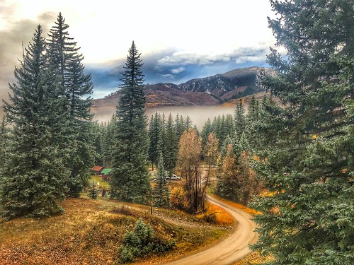
nature 2018 colorado vallecito roadtrip
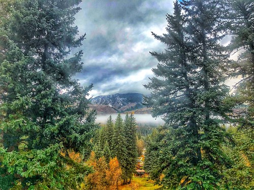
Picture perfect view
tyeredhouse canon photography nature beauty beautiful outdoors view scenery vallecitolake colorado mountains summer
Up At Vallecito!
panorama geotagged cabin colorado ptassembler vallecito perfectpanoramas geolon107563534 geolat37385026
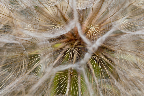
View from the Deck
plant flower colorado dandelion vallecitolake
Ready to Fly
camping colorado hiking backpacking weminuche sanjuannationalforest pineriver lospinosriver pinerivercampground
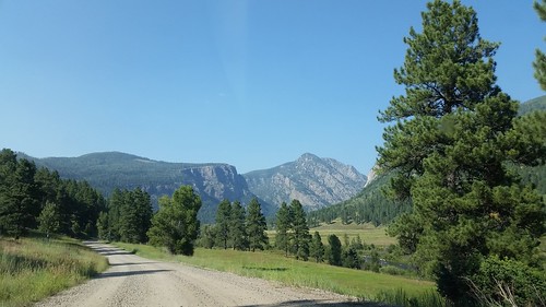
5844 View from Route 501 of the Pine River Valley as I drive the car back to the Pine River Campground
trees green pine sunrise river colorado reservoir burn area co joeldeluxe oaks 2008 durango hdr bayfield vallecitos pineriver missionaryfire pinerivervalley
Pine River Valley
nature’sbeauty nature colorado vallecito 2018 roadtrip
Beauty Everywhere
fallcolors fall autumn nature’sbeauty nature colorado 2018 roadtrip
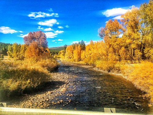
Fall Colors in Colorado
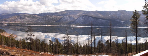
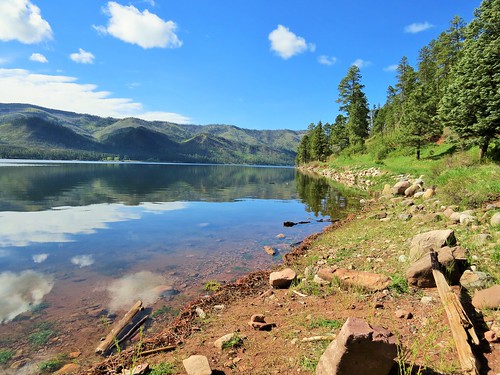
vallecitoreservoir vallecito reservoir lake reflection clouds mountains durango colorado sanjuan nationalforest
Magical Morning
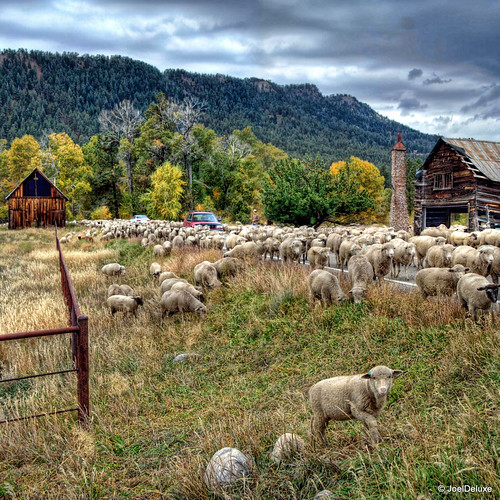
road county winter cars wool grass animals fauna colorado sheep shepherd co grasses joeldeluxe hdr blocking grazing herding betterpastures
Sheep on a country road
durangocolorado vallecitoreservoir
Along the Shore
Morning Descends, II
durangocolorado vallecitoreservoir pathscaminhos
Along the Shore
durangocolorado vallecitoreservoir
Along the Shore
FourCorners 061
colorado meadows beaver durango
Beaver Meadows
co usa000
P1010779.jpg
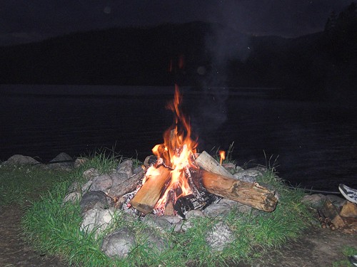
vacation mountain nature landscape fire colorado place campfire event keyword vallecitolake eventvacation fritzmb placecoloradovallecitolakecrollcabins eventfirecampfire keywordnaturelandscapemountain crollcabins
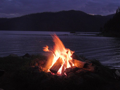
Lakeside Campfire
ranch red usa mountain mountains west america river geotagged centennial us colorado unitedstates cattle state angus united north american western co northamerica states floyd muaddib americanwest bayfield southwestern riverranch westernusa redangus southwesterncolorado centennialstate westernamerica bayfieldcolorado bayfieldco redanguscattle southwesternco floydmuaddib
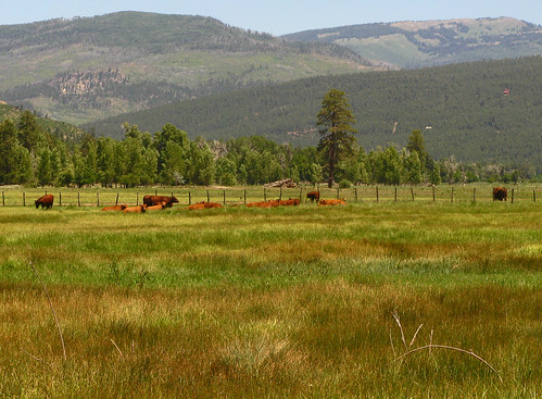
Red Angus: River Ranch: North of Bayfield, Colorado (CO)
Mountain. Taken with my new Canon PowerShot SX50 HS, which I got as a graduation present. :)
landscape
Mesa Verde Trip-6
raw
Los Pinos River C
blog kanpei earthmarathon
[earth-marathon-blog:00852] 山。
vacation mountain nature landscape fire colorado place campfire event keyword vallecitolake eventvacation fritzmb placecoloradovallecitolakecrollcabins eventfirecampfire keywordnaturelandscapemountain crollcabins
Lakeside Campfire
e124 e090418
Mt.