Elevation of Perry St, Elkton, KY, USA
Location: United States > Kentucky > Elkton >
Longitude: -87.150417
Latitude: 36.8085846
Elevation: 188m / 617feet
Barometric Pressure: 99KPa
Elevation Map:
Satellite Map:
Related Photos:
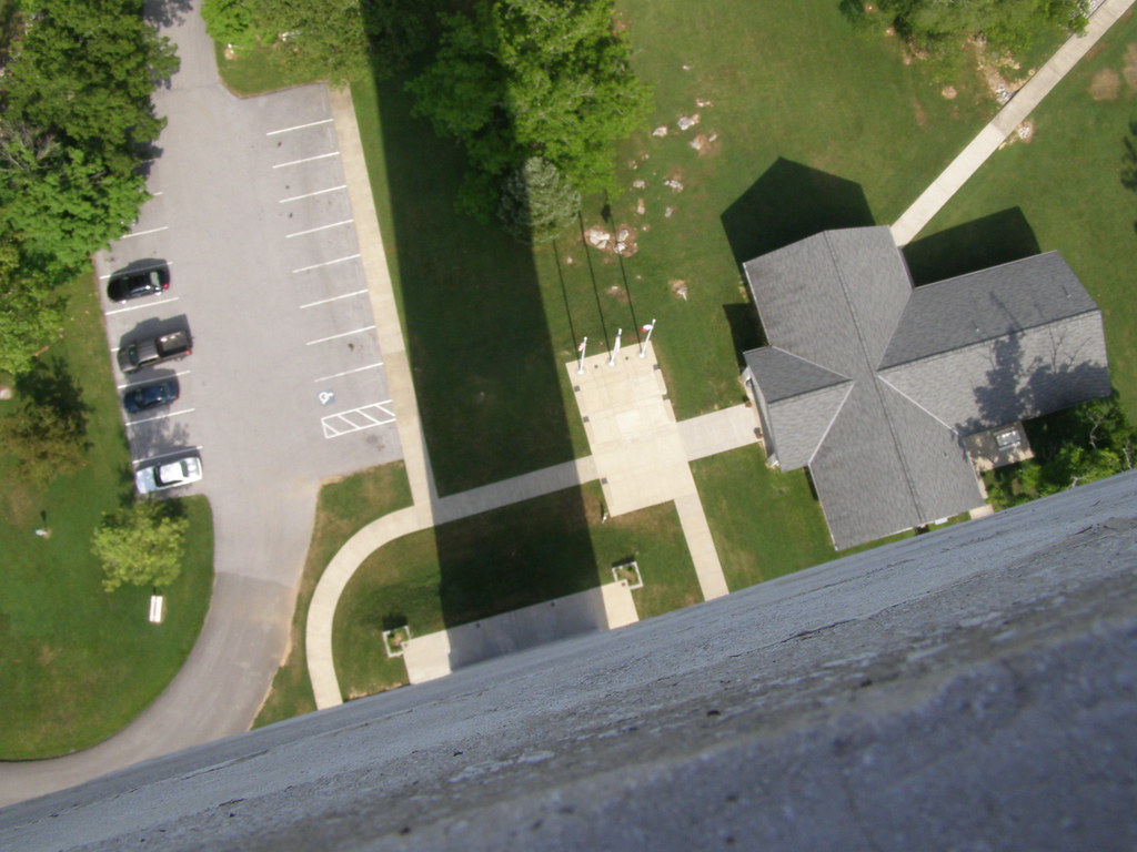
Fooour!
Jefferson Davis Birthplace, Ky
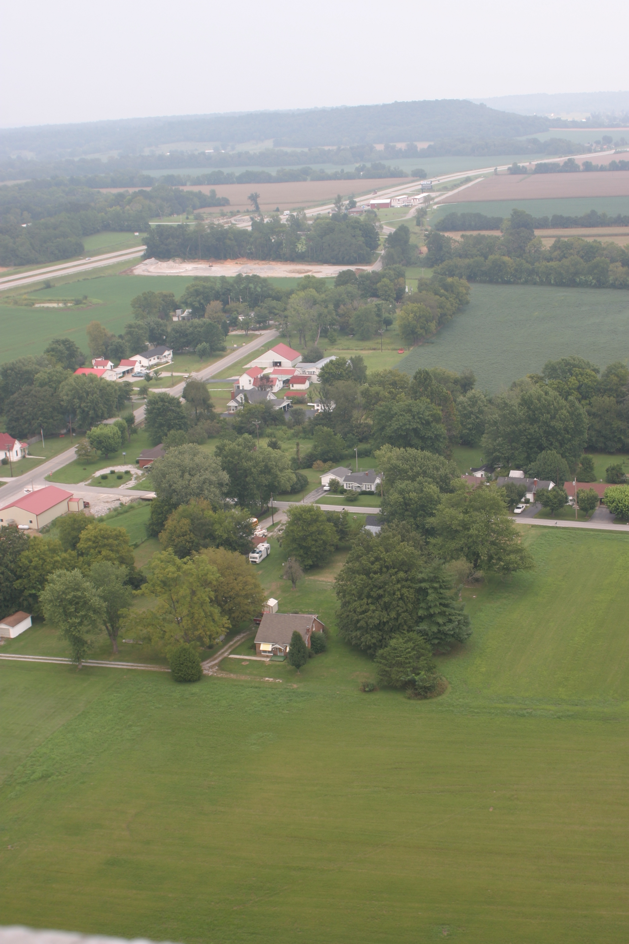
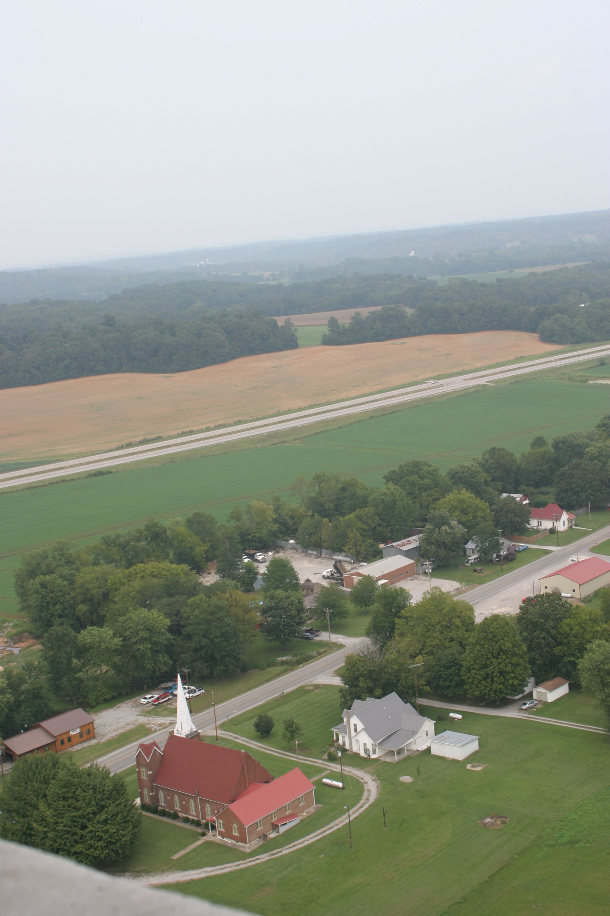
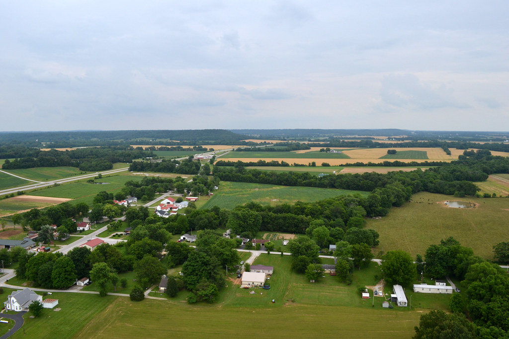
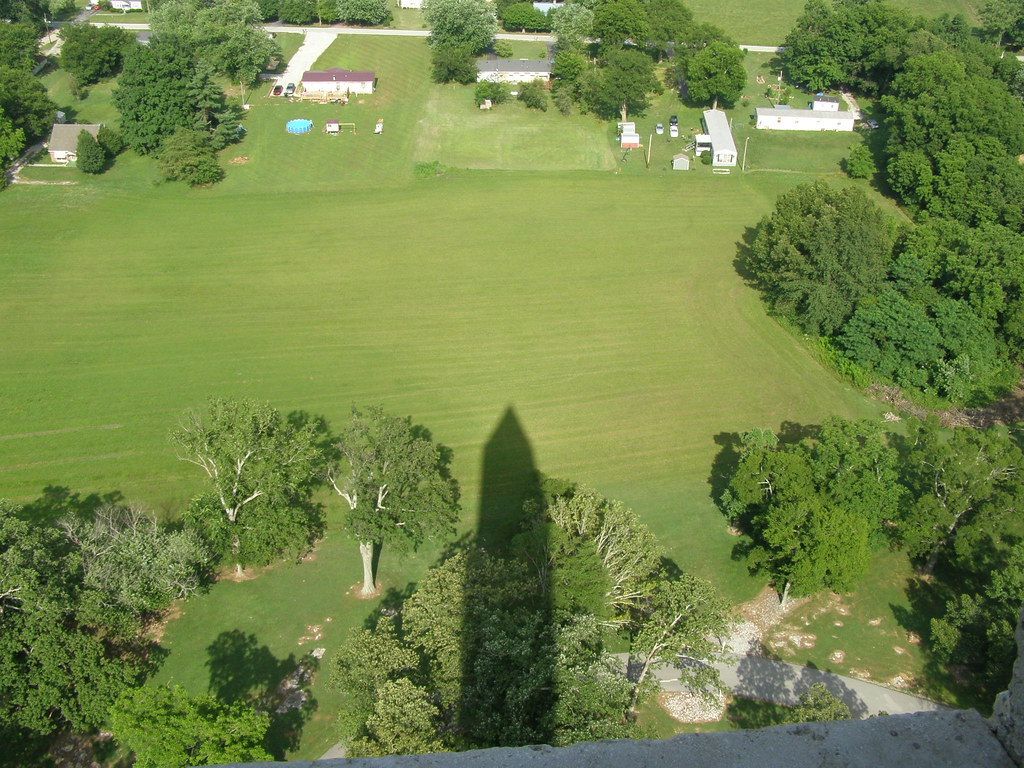
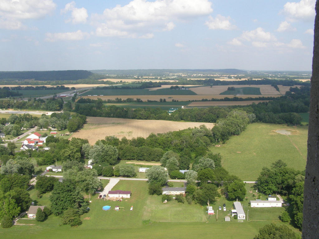
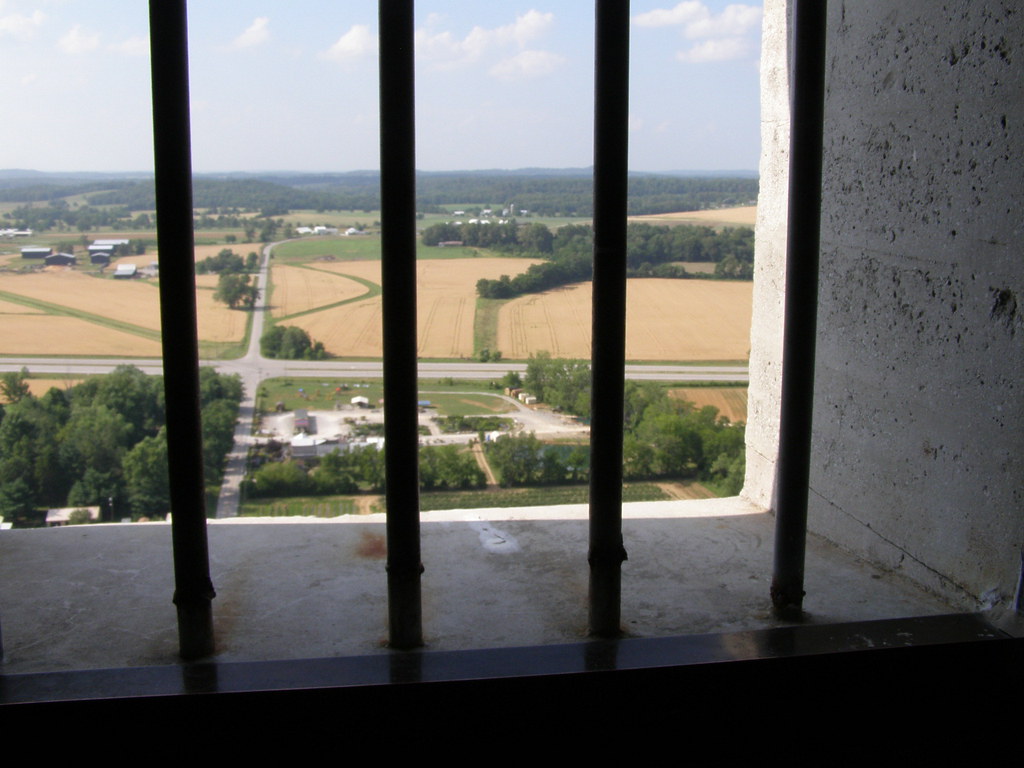
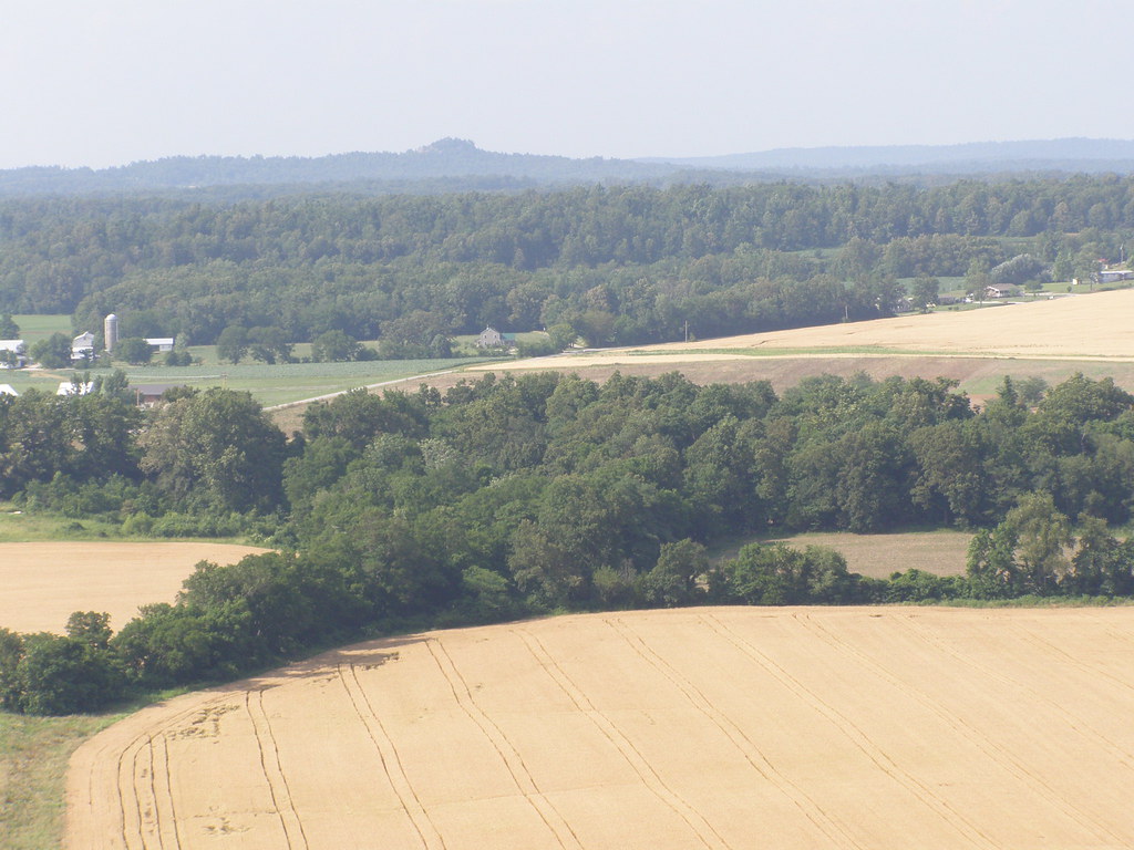
From Jeff Davis Monument

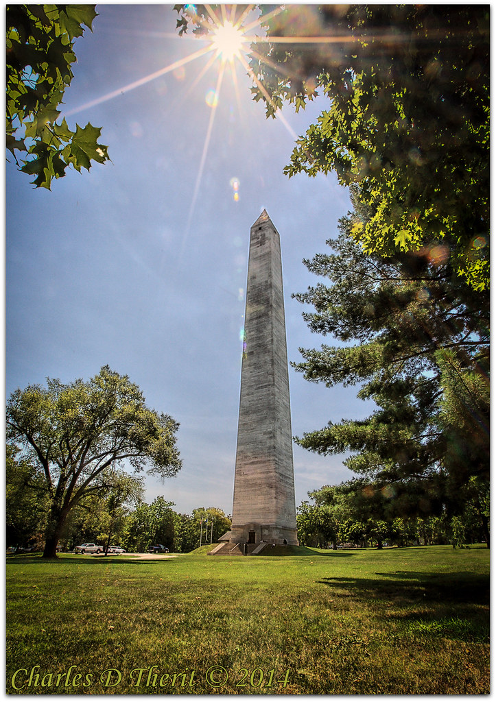
Jefferson Davis Memorial
Jefferson Davis Birthplace, Ky
Jefferson Davis Birthplace, Ky
View 4
View 1
View 5
View 2
View 3
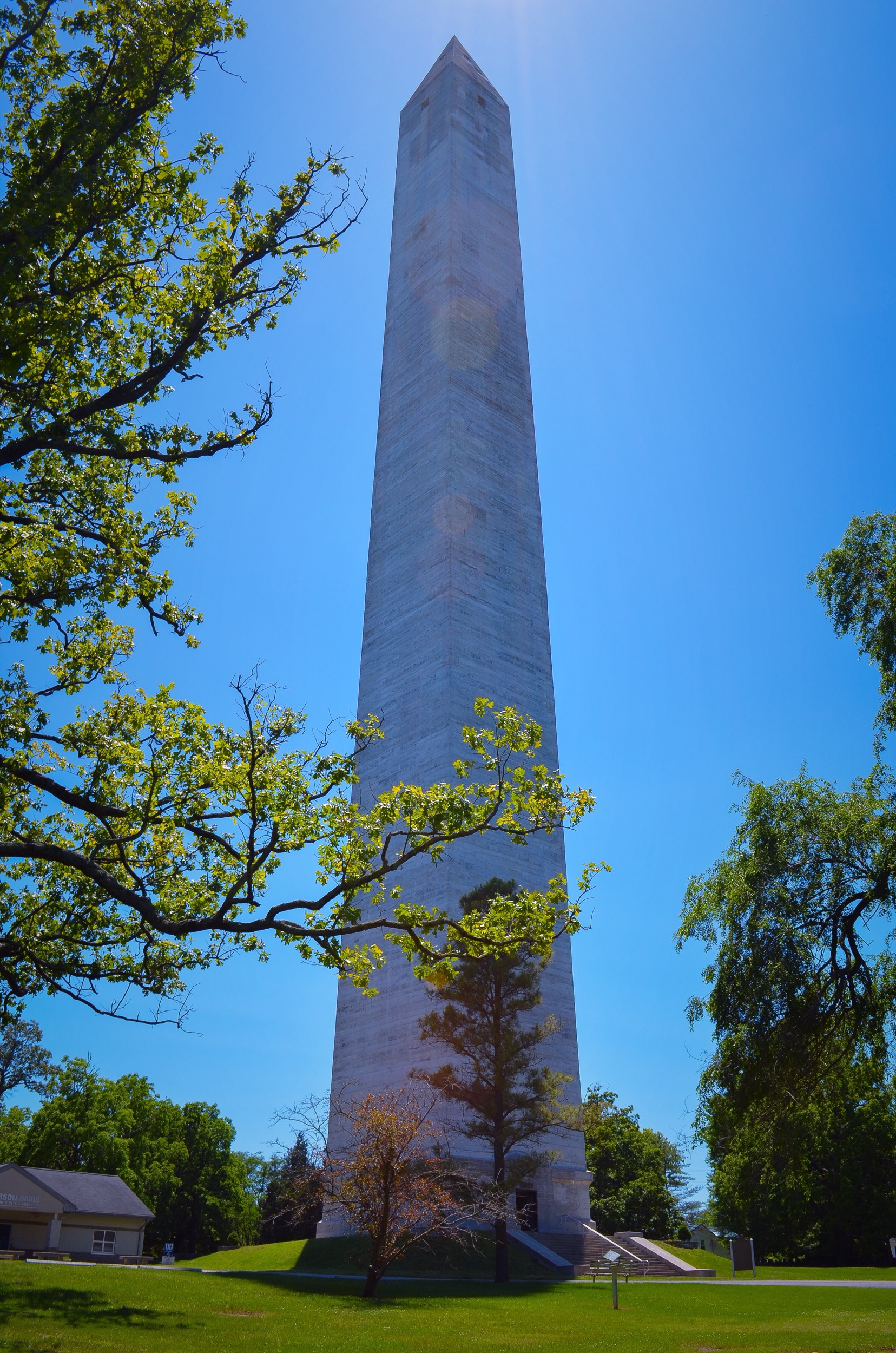
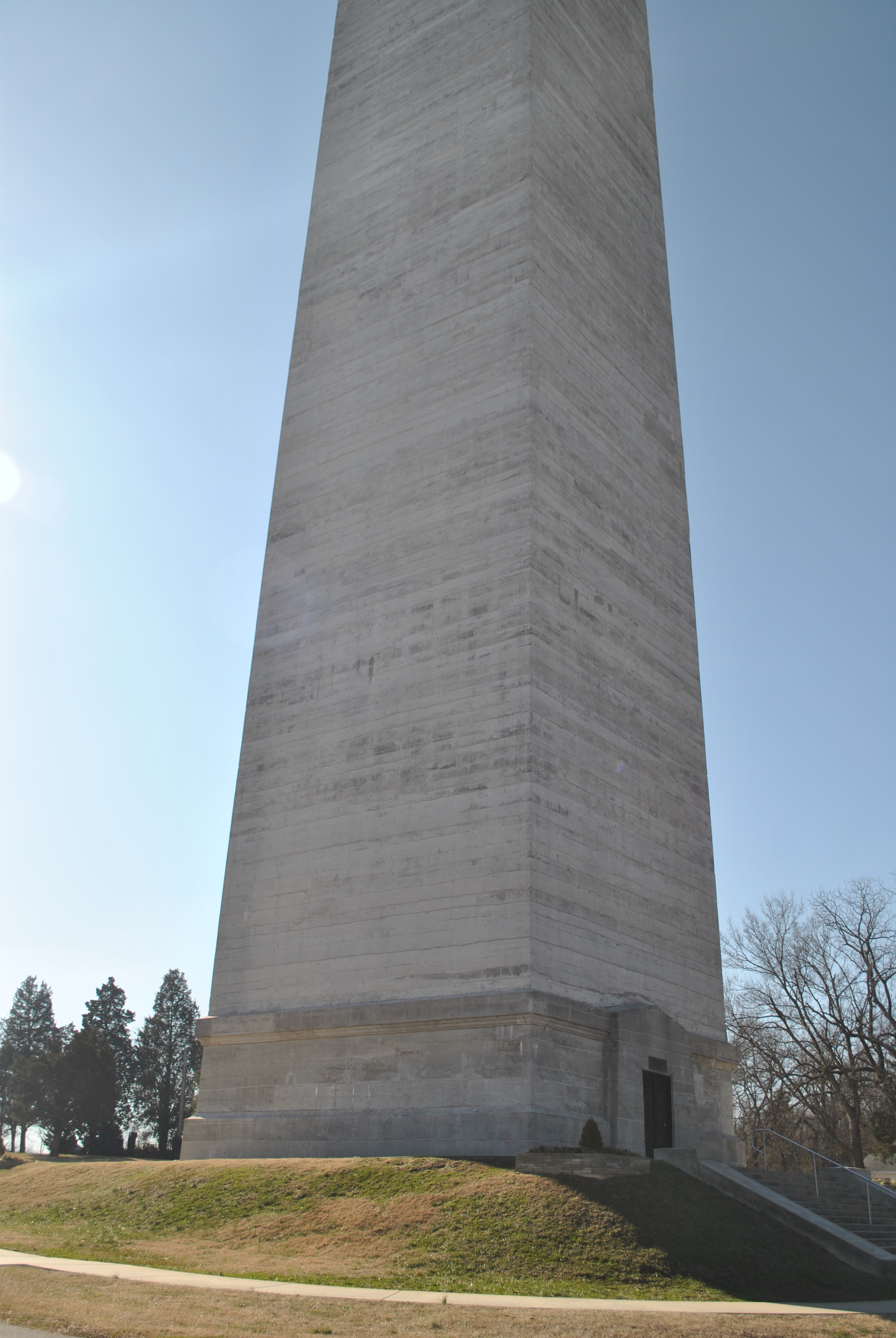
Jefferson Davis Monument
Old Country
Jefferson Davis Birthplace, Ky
Jefferson Davis Birthplace, Ky
Jefferson Davis Birthplace, Ky
Jefferson Davis Birthplace, Ky

Last rays before the storm
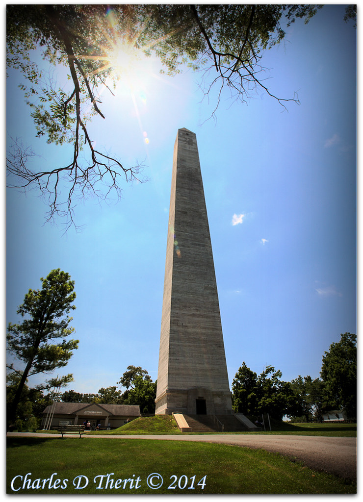
Jefferson Davis State Historic Site
Jefferson Davis Memorial

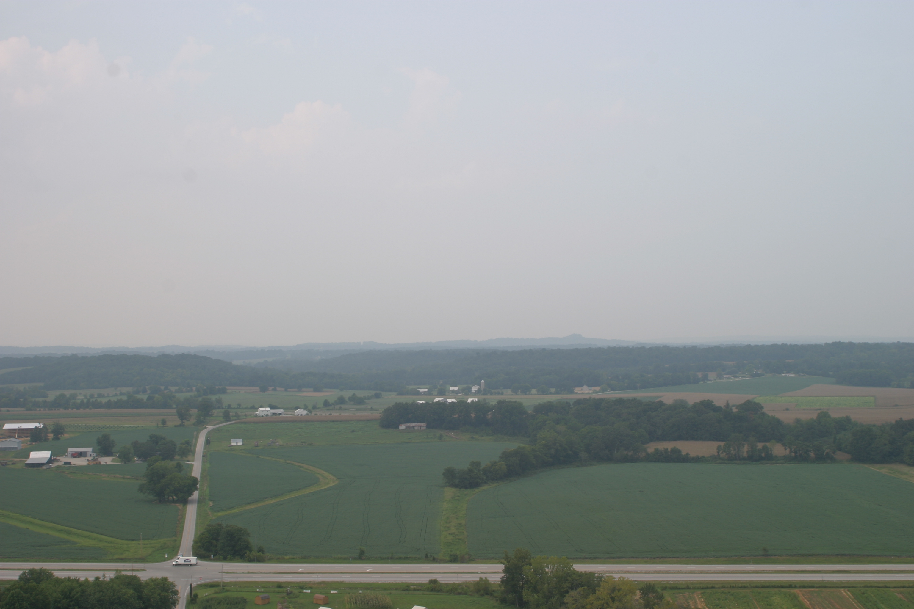
A walk through the cornfields yesterday
Jefferson Davis Memorial

Total eclipse

Blue-gray Gnatcatcher

peaceful resting spot
Topographic Map of Perry St, Elkton, KY, USA
Find elevation by address:

Places near Perry St, Elkton, KY, USA:
104 Perry St
Elkton
Todd County
1220 Blue And Gray Park Rd
3010 Old Railroad Ln
3010 Old Railroad Ln
3010 Old Railroad Ln
3010 Old Railroad Ln
3010 Old Railroad Ln
Penchem Rd, Guthrie, KY, USA
W Old Volney Rd, Olmstead, KY, USA
Olmstead
Highland Rd, Guthrie, KY, USA
Olmstead Rd, Olmstead, KY, USA
Guthrie
Greenville Rd, Lewisburg, KY, USA
104 B Nealy Rd
501 Woodruff Rd
Adams
Logan Aluminum Gate 1
Recent Searches:
- Elevation of Corso Fratelli Cairoli, 35, Macerata MC, Italy
- Elevation of Tallevast Rd, Sarasota, FL, USA
- Elevation of 4th St E, Sonoma, CA, USA
- Elevation of Black Hollow Rd, Pennsdale, PA, USA
- Elevation of Oakland Ave, Williamsport, PA, USA
- Elevation of Pedrógão Grande, Portugal
- Elevation of Klee Dr, Martinsburg, WV, USA
- Elevation of Via Roma, Pieranica CR, Italy
- Elevation of Tavkvetili Mountain, Georgia
- Elevation of Hartfords Bluff Cir, Mt Pleasant, SC, USA