Elevation of Old Railroad Ln, Guthrie, KY, USA
Location: United States > Kentucky > Todd County > Guthrie >
Longitude: -87.165725
Latitude: 36.7421503
Elevation: 186m / 610feet
Barometric Pressure: 99KPa
Elevation Map:
Satellite Map:
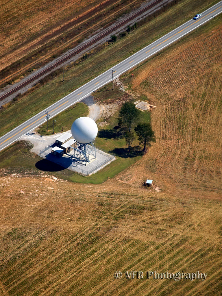
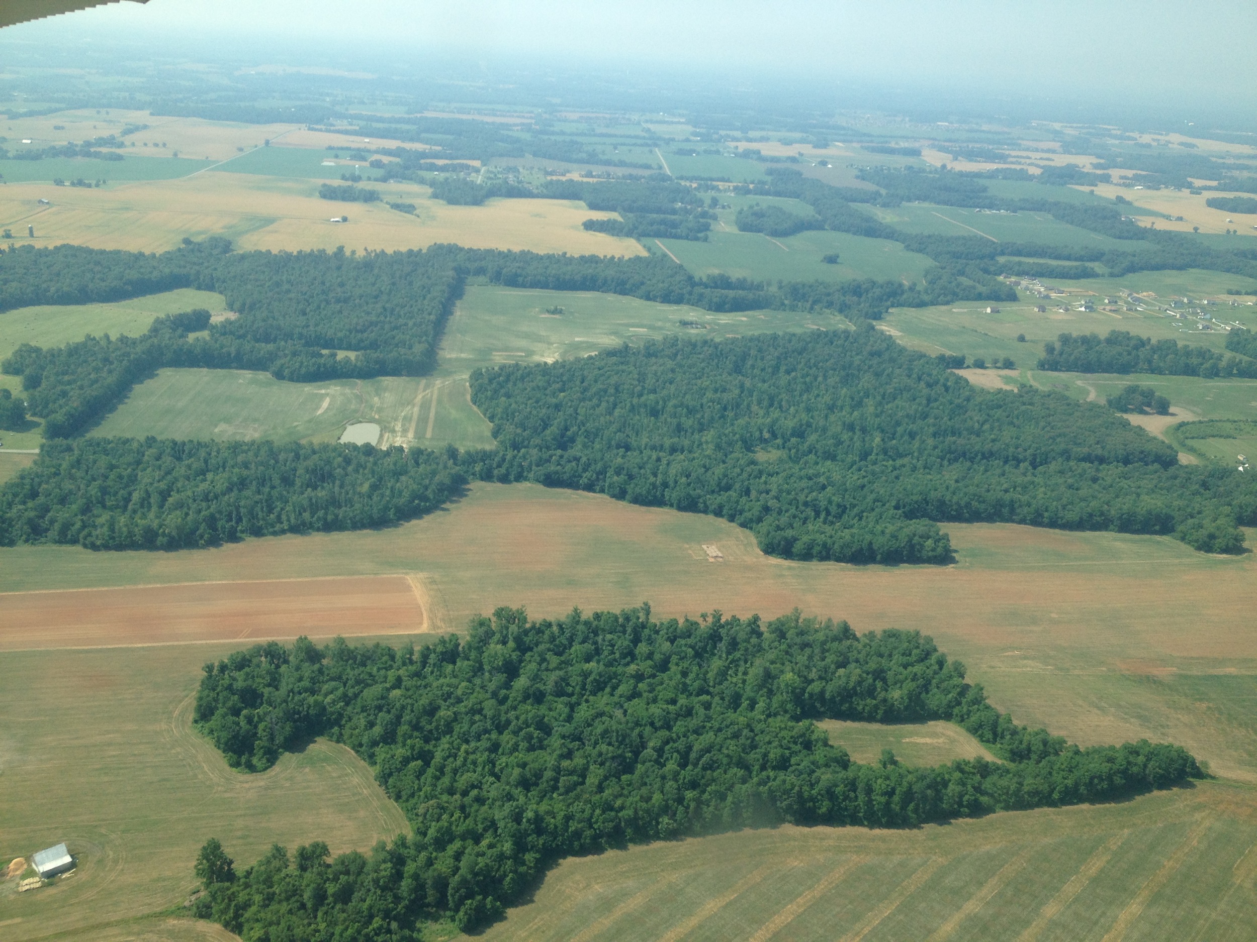
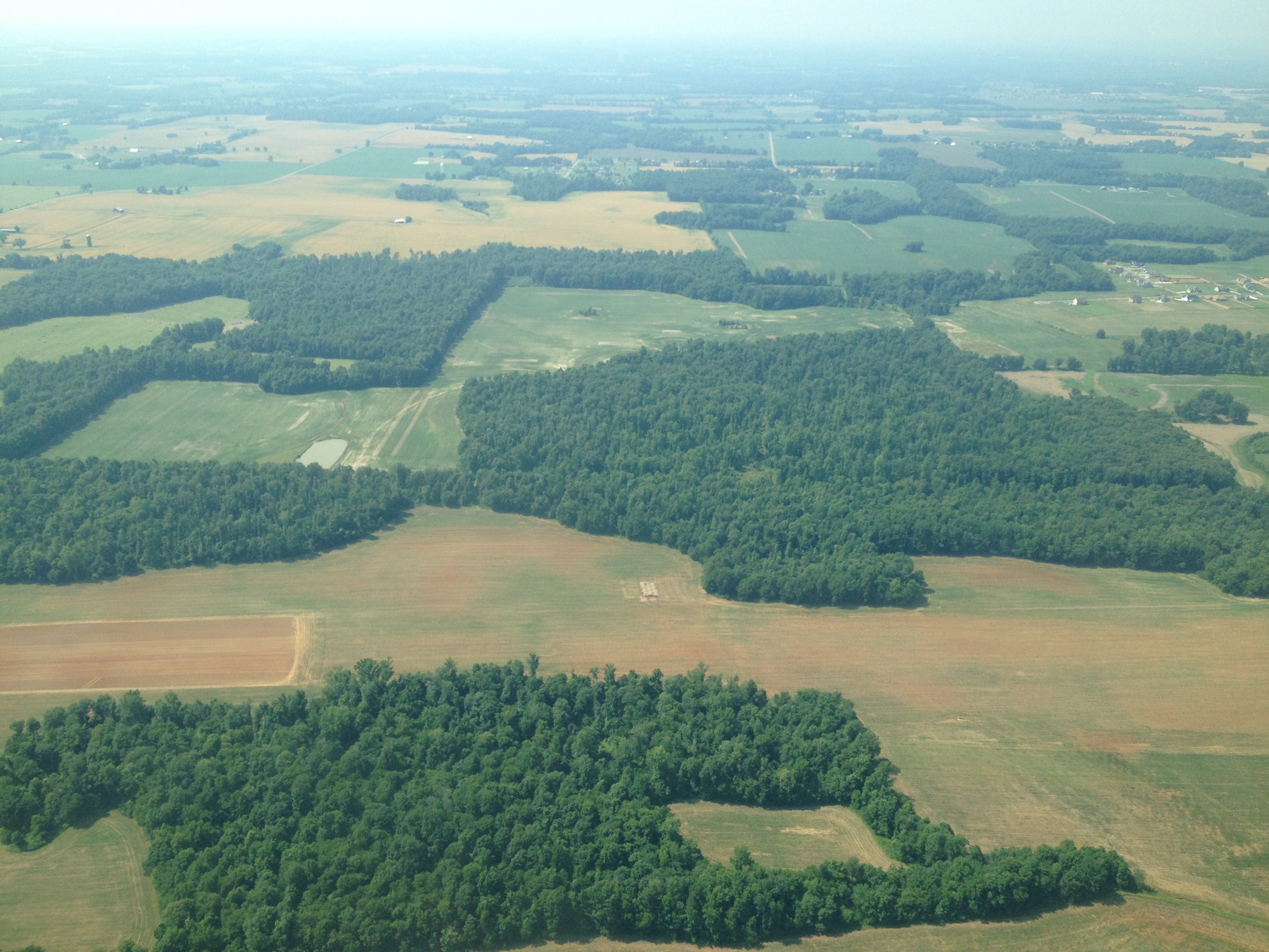
Related Photos:
Fooour!

Part One 2012...

Last rays before the storm

Muggy McGregor Road sunset...

Golden light on golden fields...

More McGregor Road Gold...

Elk Fork mist-ery

Gate open for another crop...
Camera Roll-164
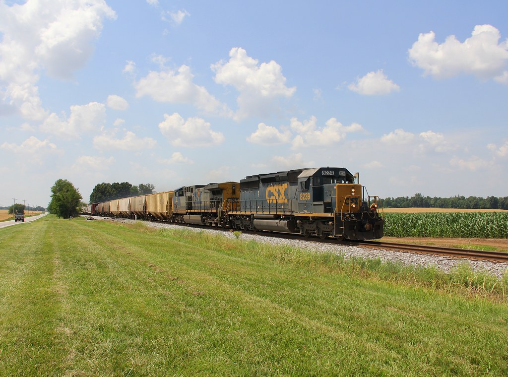
CSX S645, Trenton,KY 6/16/2014
Camera Roll-163

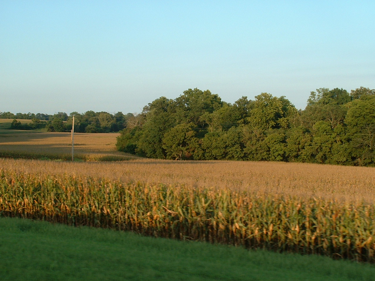
A walk through the cornfields yesterday

solitude in color
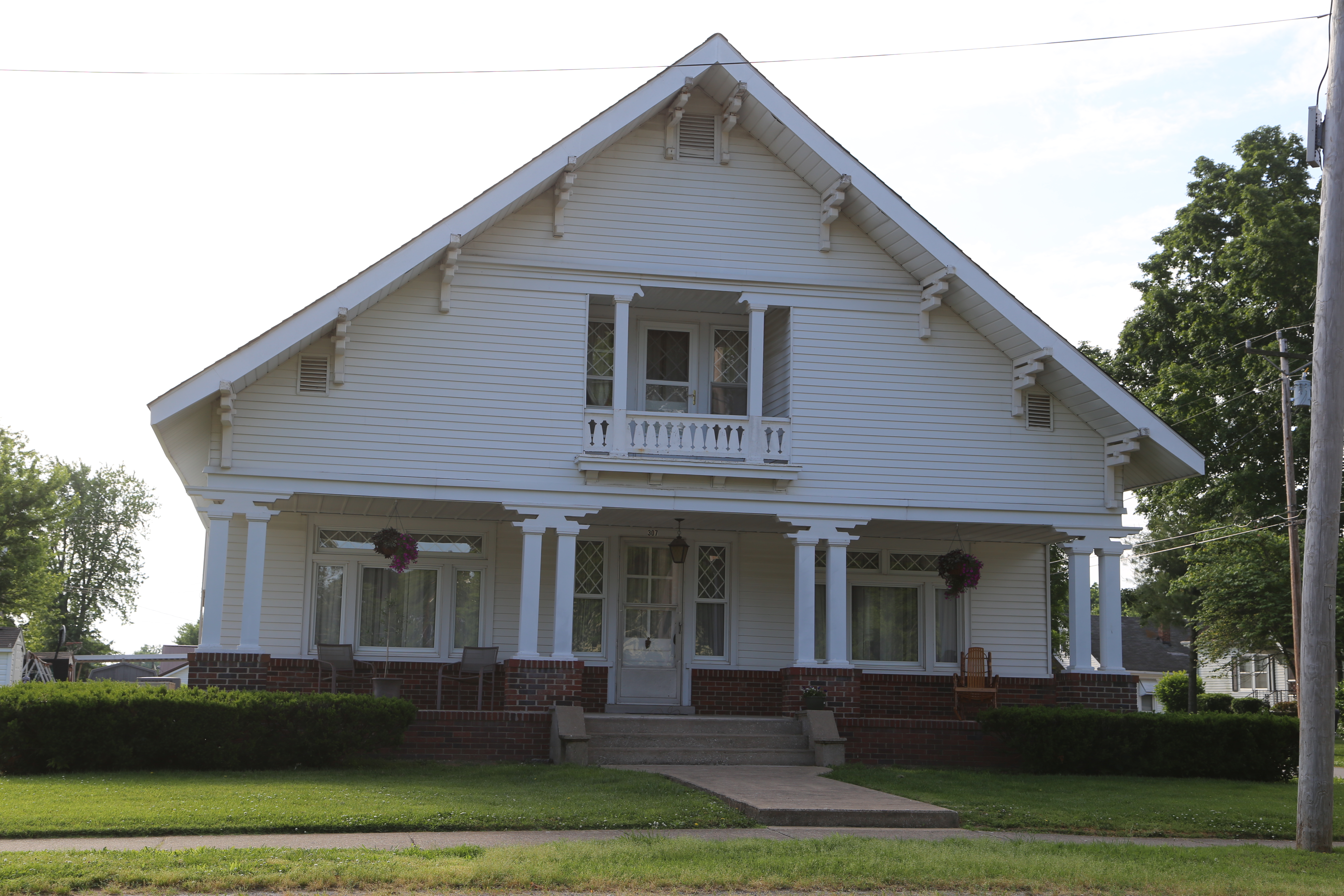
Elkton Kentucky, Todd County KY

Blue-gray Gnatcatcher
Golden corn field
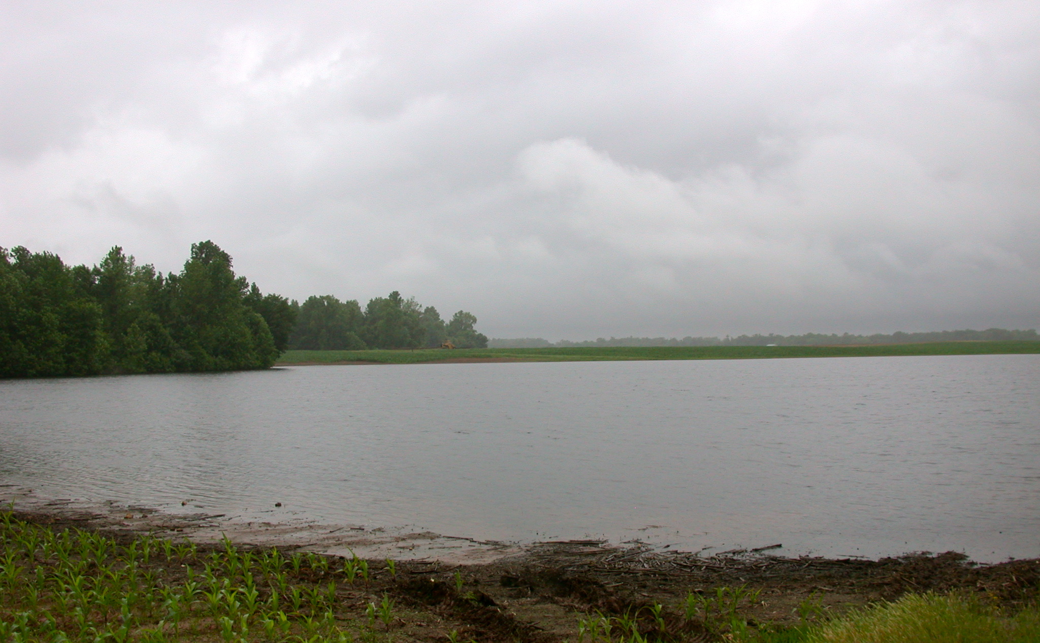
John U. Young Road pond
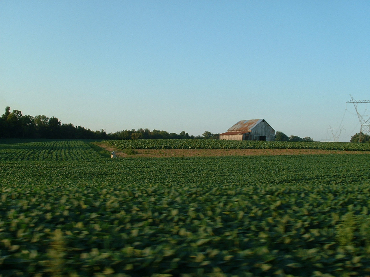
Farmland on the way to the HSC site
Topographic Map of Old Railroad Ln, Guthrie, KY, USA
Find elevation by address:

Places near Old Railroad Ln, Guthrie, KY, USA:
3010 Old Railroad Ln
3010 Old Railroad Ln
3010 Old Railroad Ln
3010 Old Railroad Ln
Penchem Rd, Guthrie, KY, USA
104 Perry St
104 Perry St
Elkton
Highland Rd, Guthrie, KY, USA
Guthrie
Todd County
1220 Blue And Gray Park Rd
W Old Volney Rd, Olmstead, KY, USA
Olmstead
Olmstead Rd, Olmstead, KY, USA
501 Woodruff Rd
Adams
104 B Nealy Rd
Greenville Rd, Lewisburg, KY, USA
5217 Drake Rd #7a
Recent Searches:
- Elevation of Corso Fratelli Cairoli, 35, Macerata MC, Italy
- Elevation of Tallevast Rd, Sarasota, FL, USA
- Elevation of 4th St E, Sonoma, CA, USA
- Elevation of Black Hollow Rd, Pennsdale, PA, USA
- Elevation of Oakland Ave, Williamsport, PA, USA
- Elevation of Pedrógão Grande, Portugal
- Elevation of Klee Dr, Martinsburg, WV, USA
- Elevation of Via Roma, Pieranica CR, Italy
- Elevation of Tavkvetili Mountain, Georgia
- Elevation of Hartfords Bluff Cir, Mt Pleasant, SC, USA