Elevation of Pennines, Penrith, Cumbria CA10, UK
Location: United Kingdom > Cumbria > Kirkland >
Longitude: -2.486667
Latitude: 54.702778
Elevation: 887m / 2910feet
Barometric Pressure: 91KPa
Elevation Map:
Satellite Map:
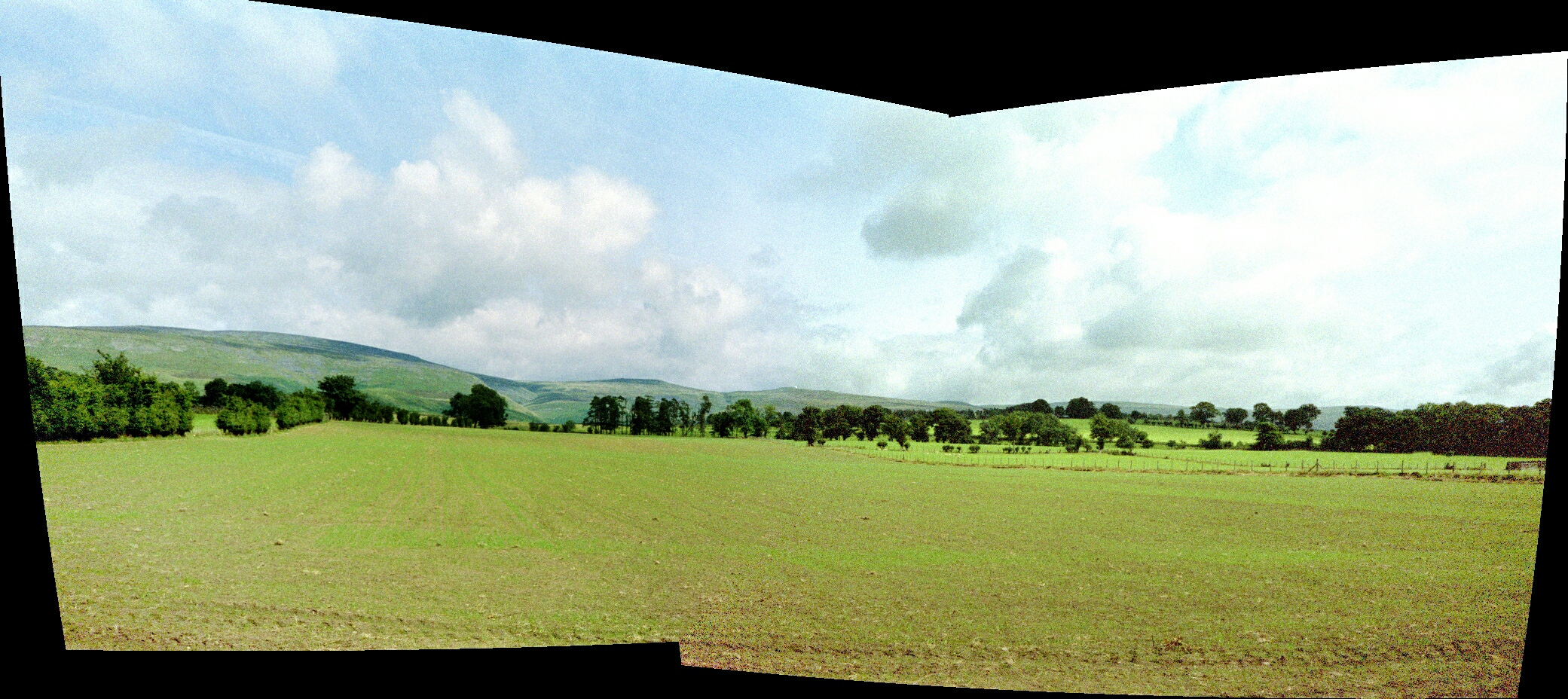
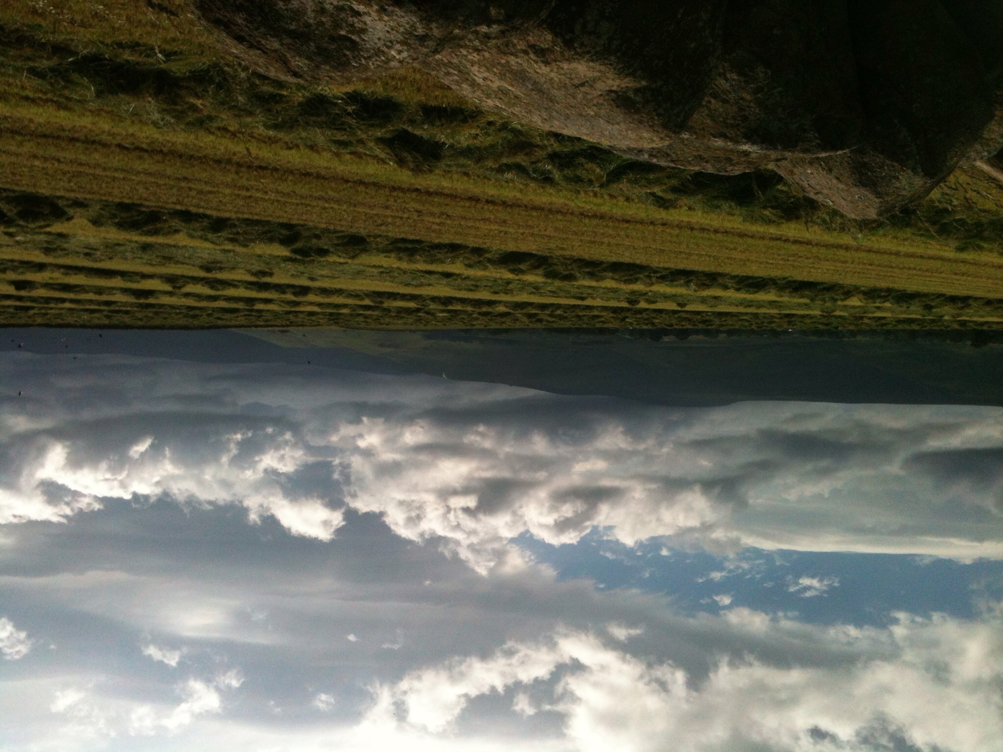
Related Photos:
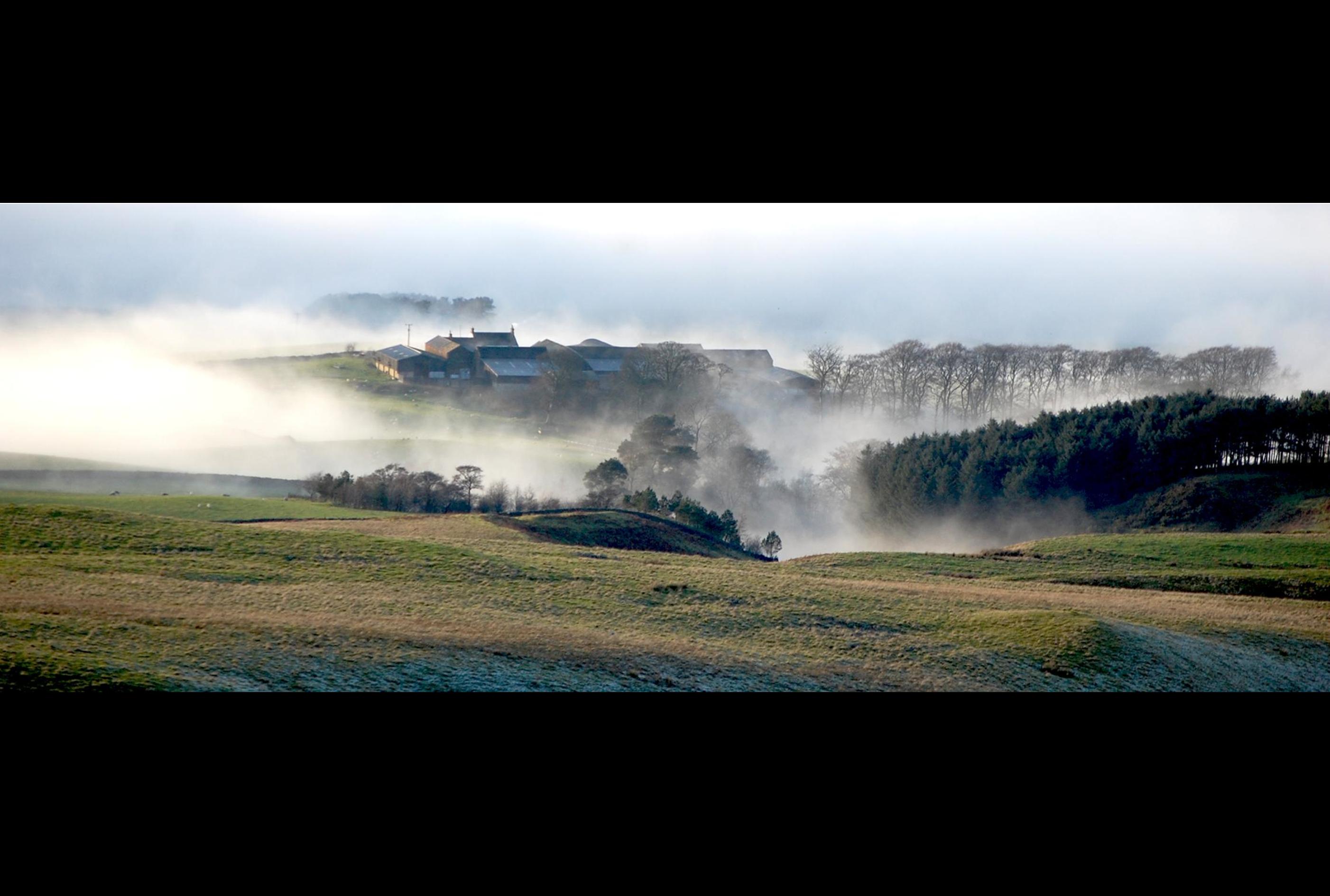
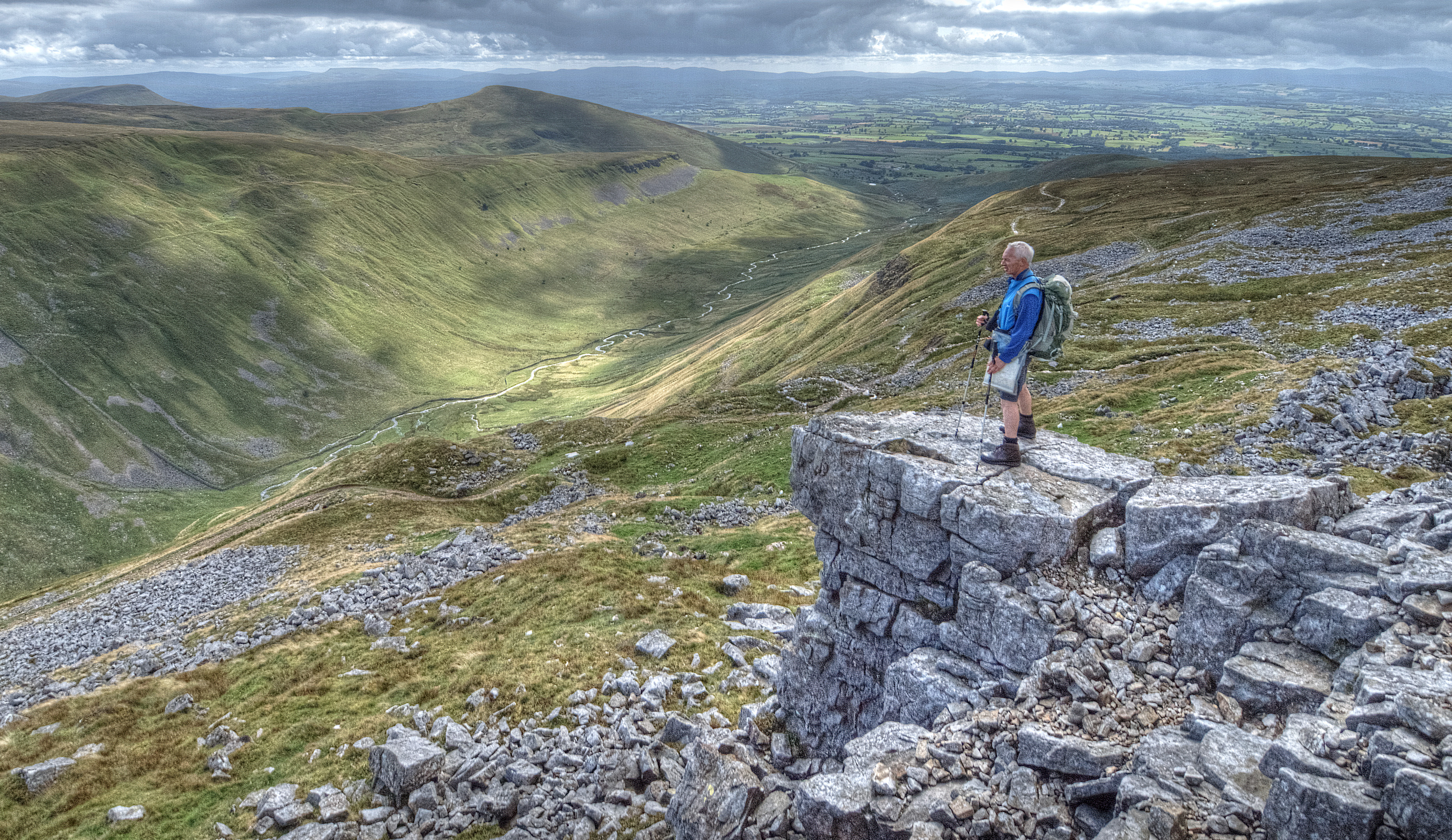
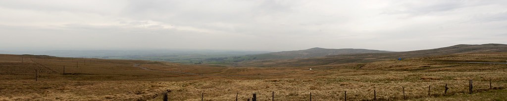
from Hartside

Force Mill Eden view
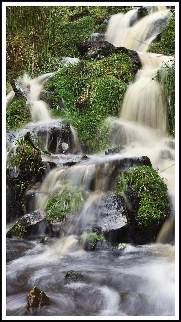
Miniature falls

Pennine pyramidical (365/239)
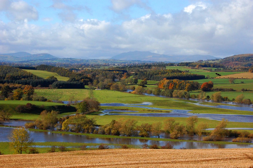
River Eamont joins the River Eden in flood

Another Day, Another Sunrise

Hartside View
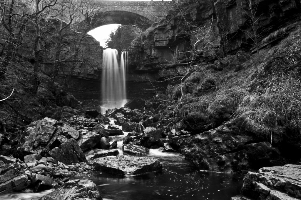
Week 8/52 - Wünderfall

Cumbria – Grey

That track again. HDR
close to the edge
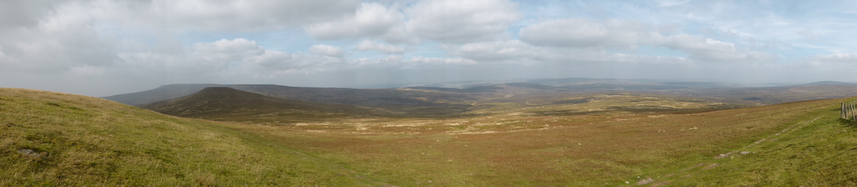
High Cup Nick valley view
The Pennine way 102.
View across the Eden Valley | Long Meg and her Daughters - 2
Hartside Pass
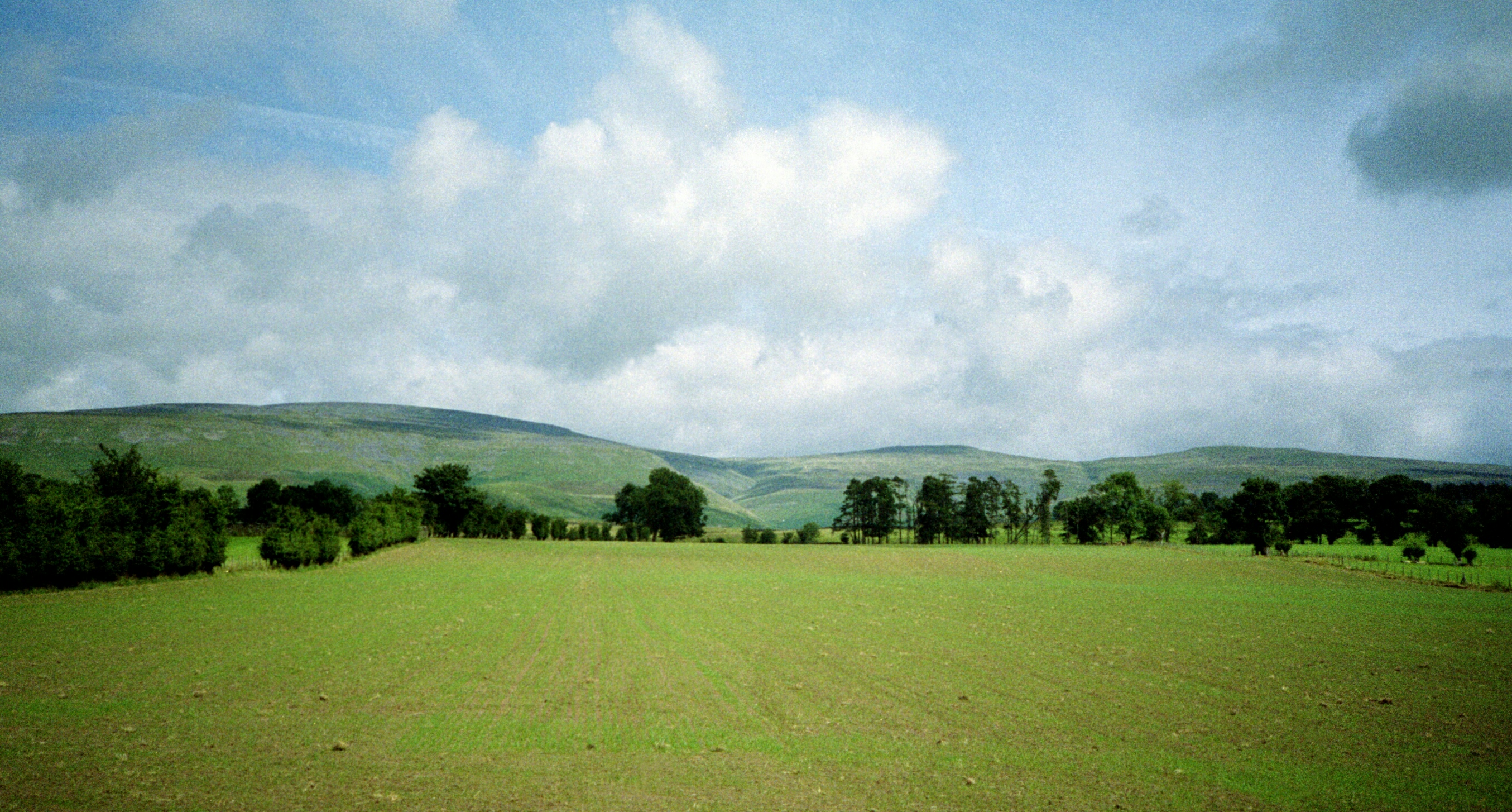
Pennine View, Dufton
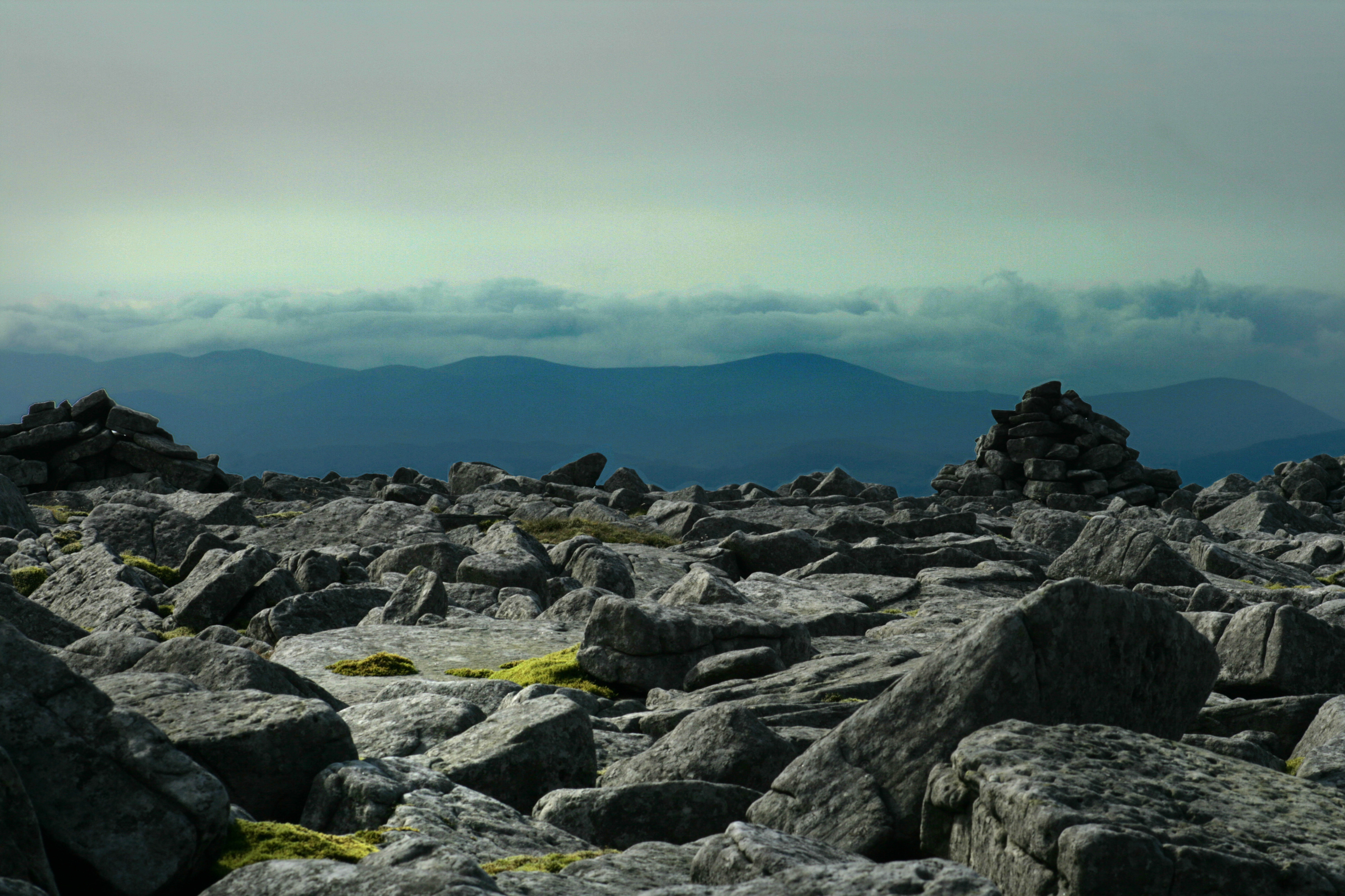
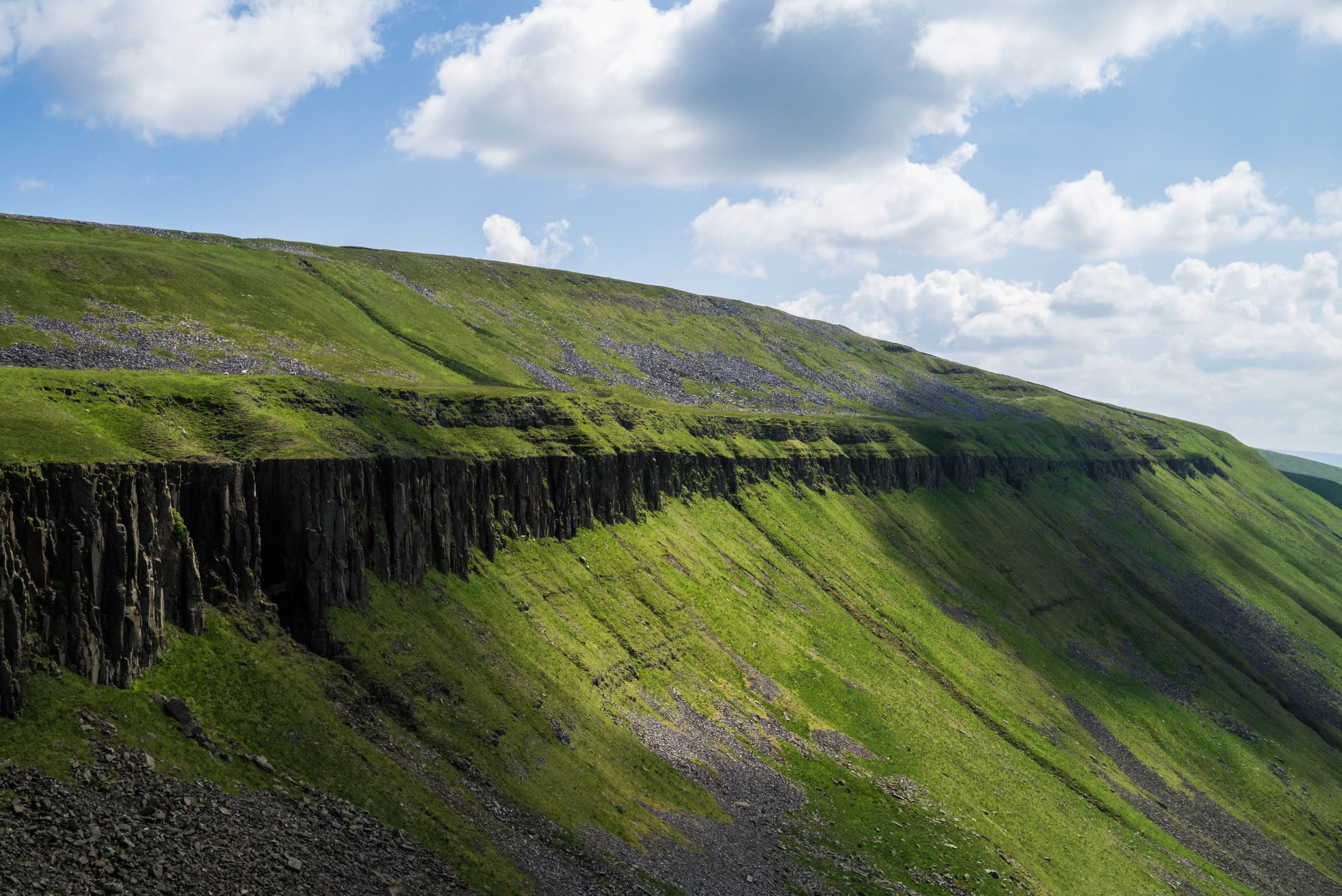
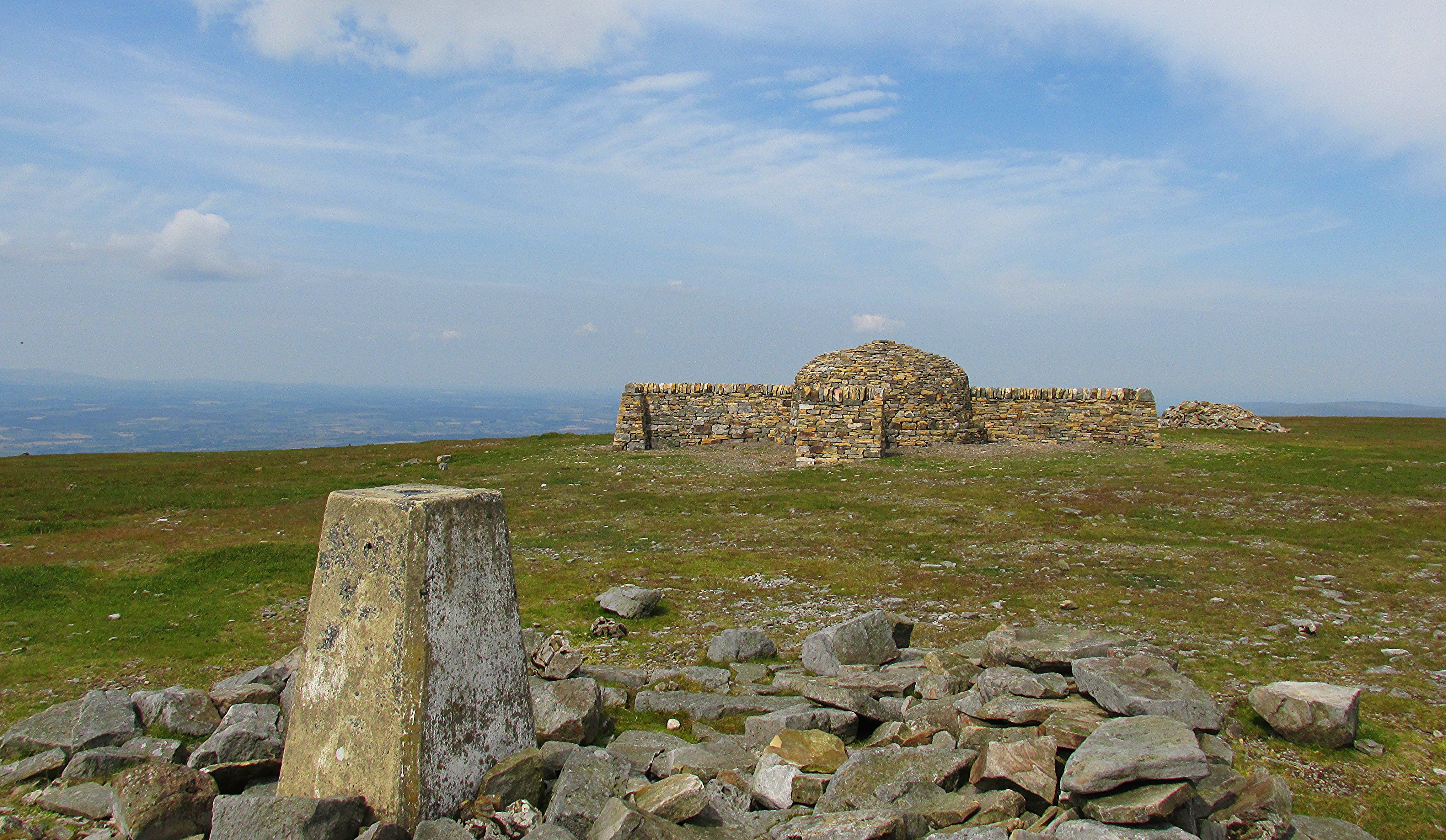
Cross Fell
What a view
Pennine View, Dufton
The view!
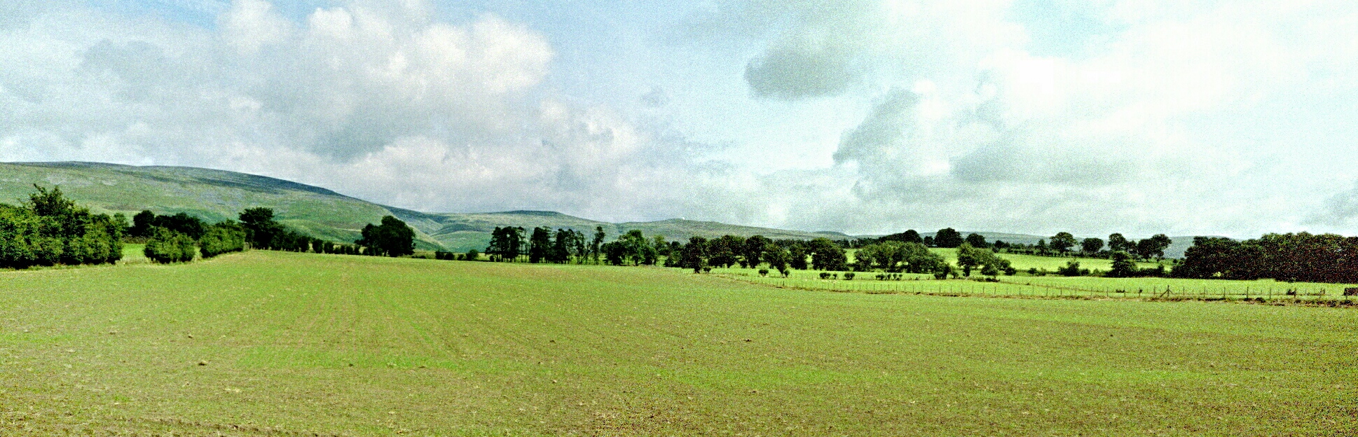
Pennine View (stitch of 2 photographs, now cropped), Dufton
Topographic Map of Pennines, Penrith, Cumbria CA10, UK
Find elevation by address:

Places near Pennines, Penrith, Cumbria CA10, UK:
Cross Fell
Kirkland
Ca9 3ej
Hartside Pass
Ghyll House
Stout & Partners
Ousby
Ca16 6jw
Kirkby Thore
Garrigill
Park Lane
Raise
Townfoot
Melmerby
Granville House
Alston
Ca9 3lg
1 Grassfields Cottages, Nenthead, Alston CA9 3LW, UK
Nenthead
Nenthead Mines
Recent Searches:
- Elevation of Corso Fratelli Cairoli, 35, Macerata MC, Italy
- Elevation of Tallevast Rd, Sarasota, FL, USA
- Elevation of 4th St E, Sonoma, CA, USA
- Elevation of Black Hollow Rd, Pennsdale, PA, USA
- Elevation of Oakland Ave, Williamsport, PA, USA
- Elevation of Pedrógão Grande, Portugal
- Elevation of Klee Dr, Martinsburg, WV, USA
- Elevation of Via Roma, Pieranica CR, Italy
- Elevation of Tavkvetili Mountain, Georgia
- Elevation of Hartfords Bluff Cir, Mt Pleasant, SC, USA