Elevation of Granville House, Alston CA9 3HX, UK
Location: United Kingdom > Cumbria > Alston > Townfoot >
Longitude: -2.4416932
Latitude: 54.8122665
Elevation: 279m / 915feet
Barometric Pressure: 0KPa
Related Photos:

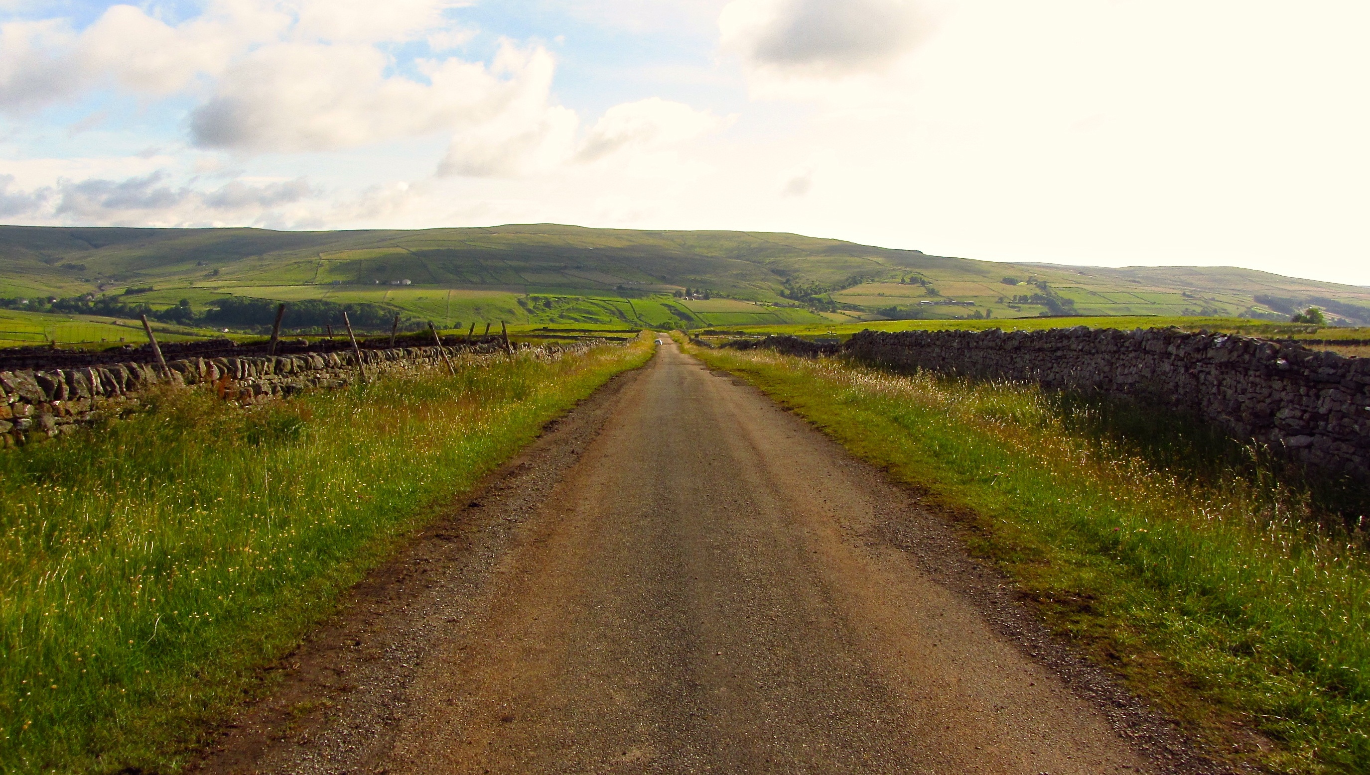
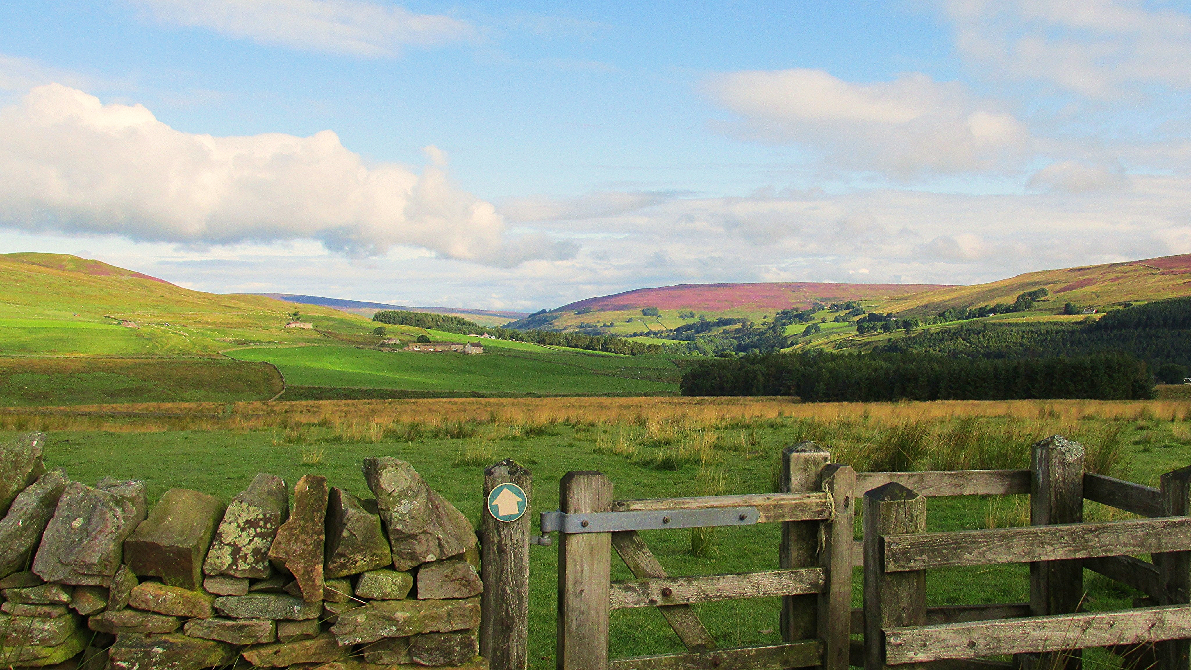
The Track and Gate

Hartside View
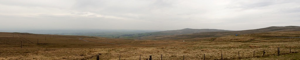
from Hartside
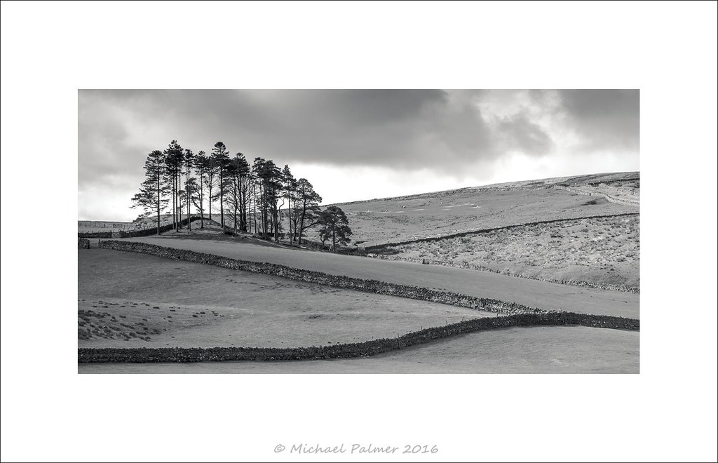
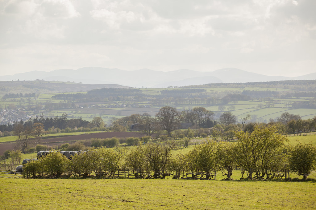
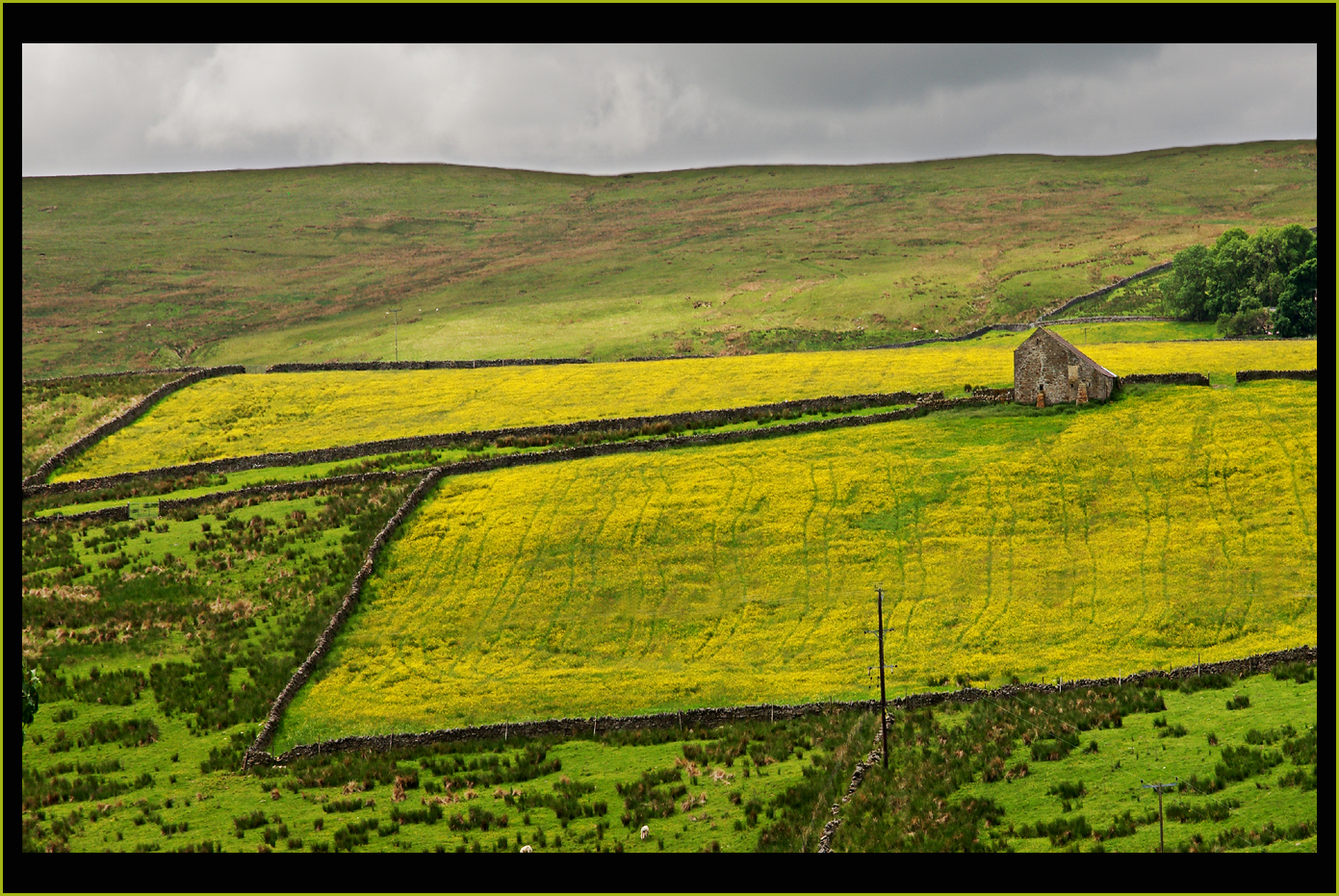
Fields of View
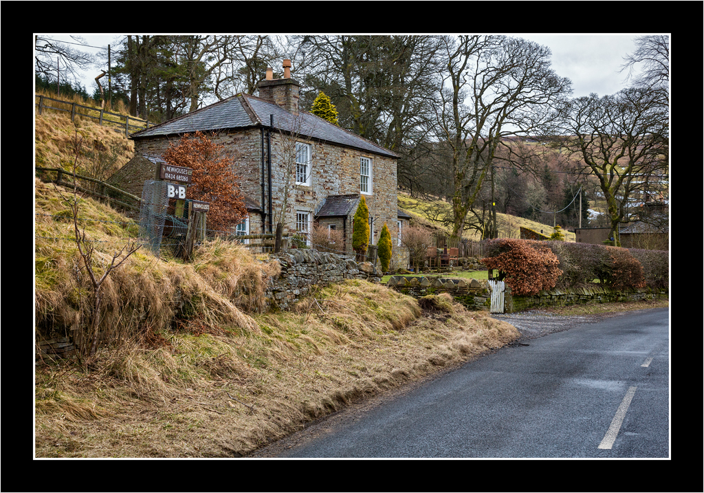
B&B

The Brook
Hartside Pass

Lambley Viaduct, South Tyne Trail.

Lambley Viaduct.

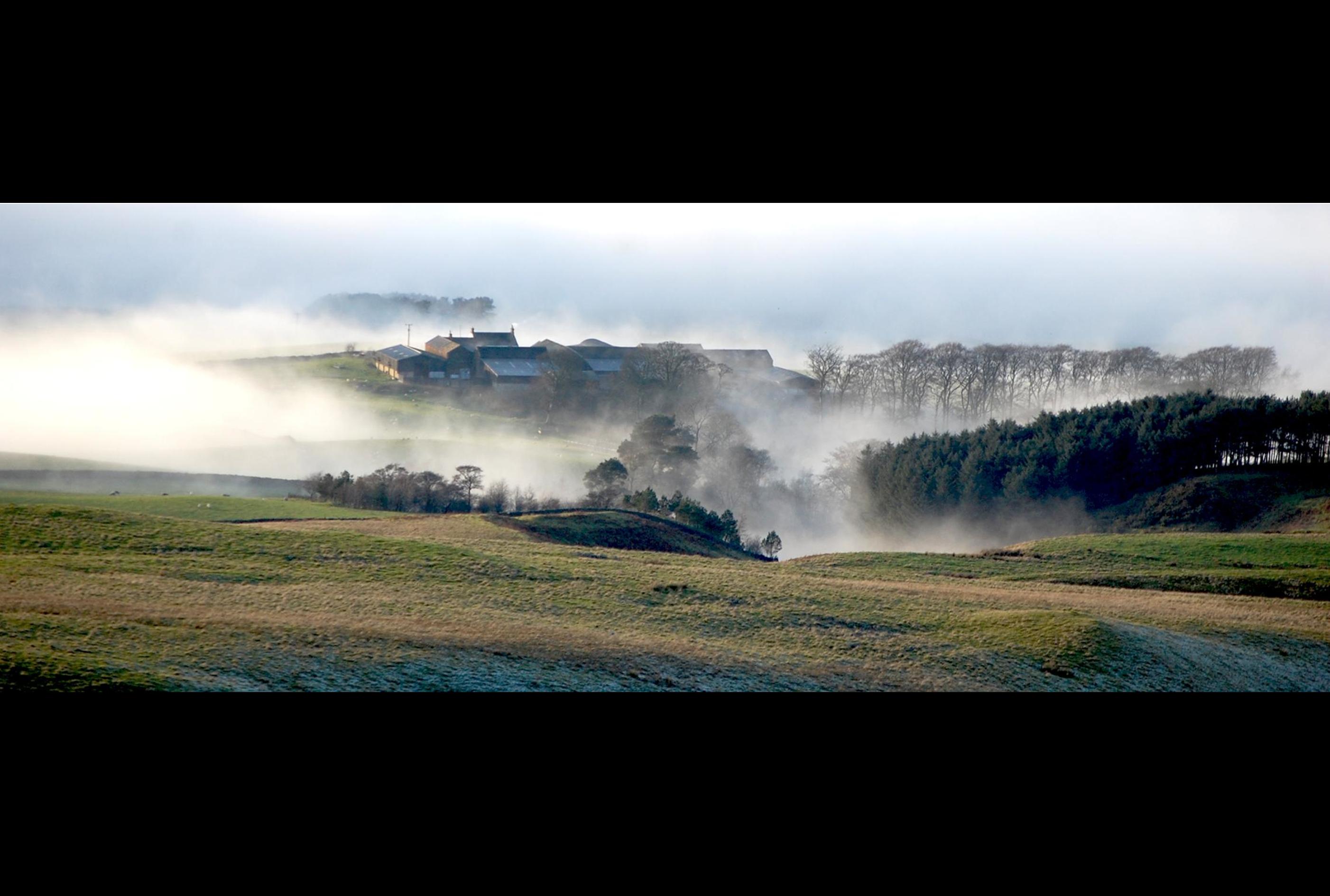
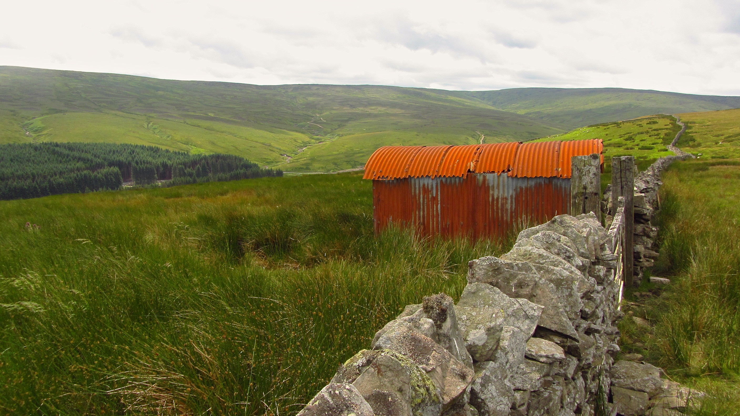
In The Dip
The road to Weardale
An orange room with a view

H_H-ADale_03
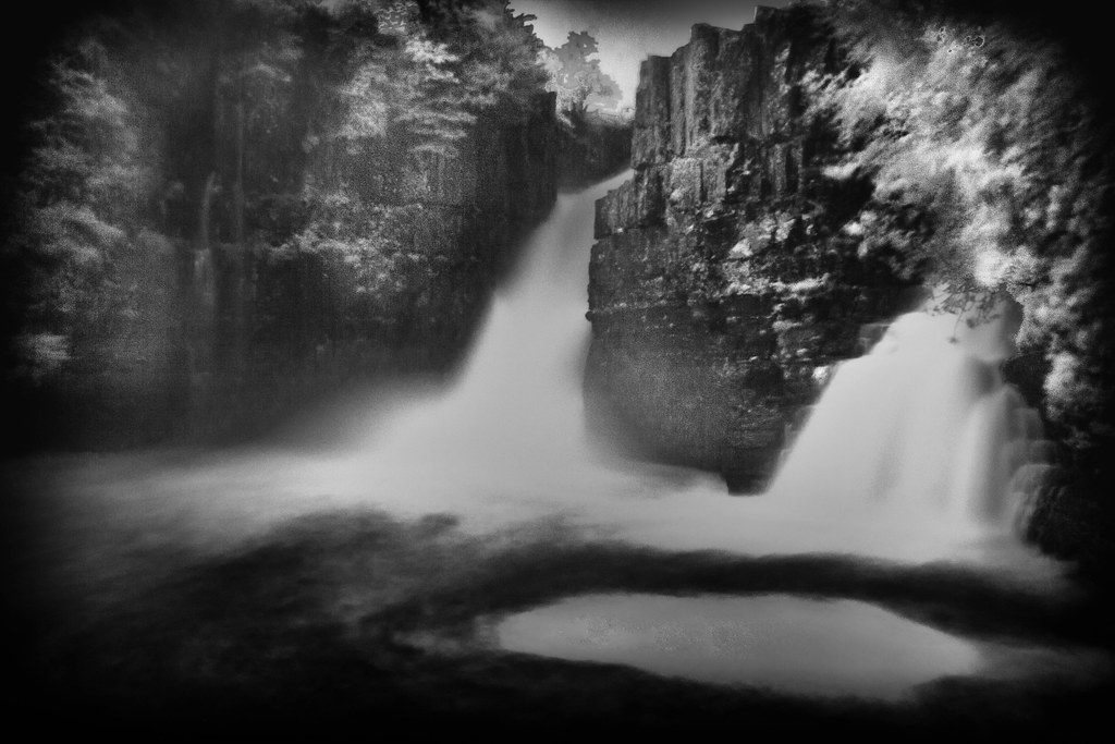
Week 8/52 - Wünderfall
Hartside View
The Pennine way 102.

Allenheads Nag

What a view
Looking west to the Lake District from Scales | Ancestral Trail - 94
Pennine Way
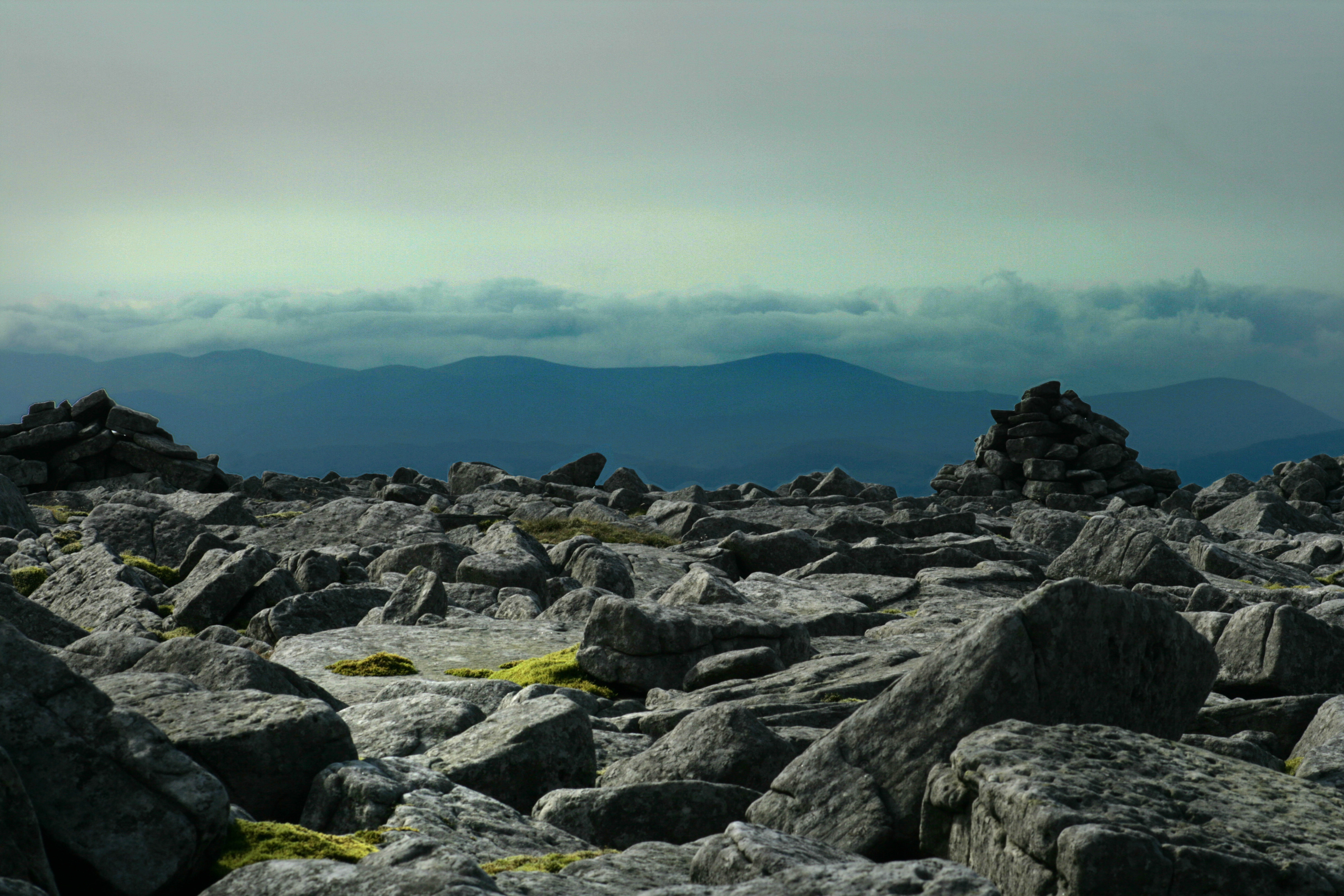
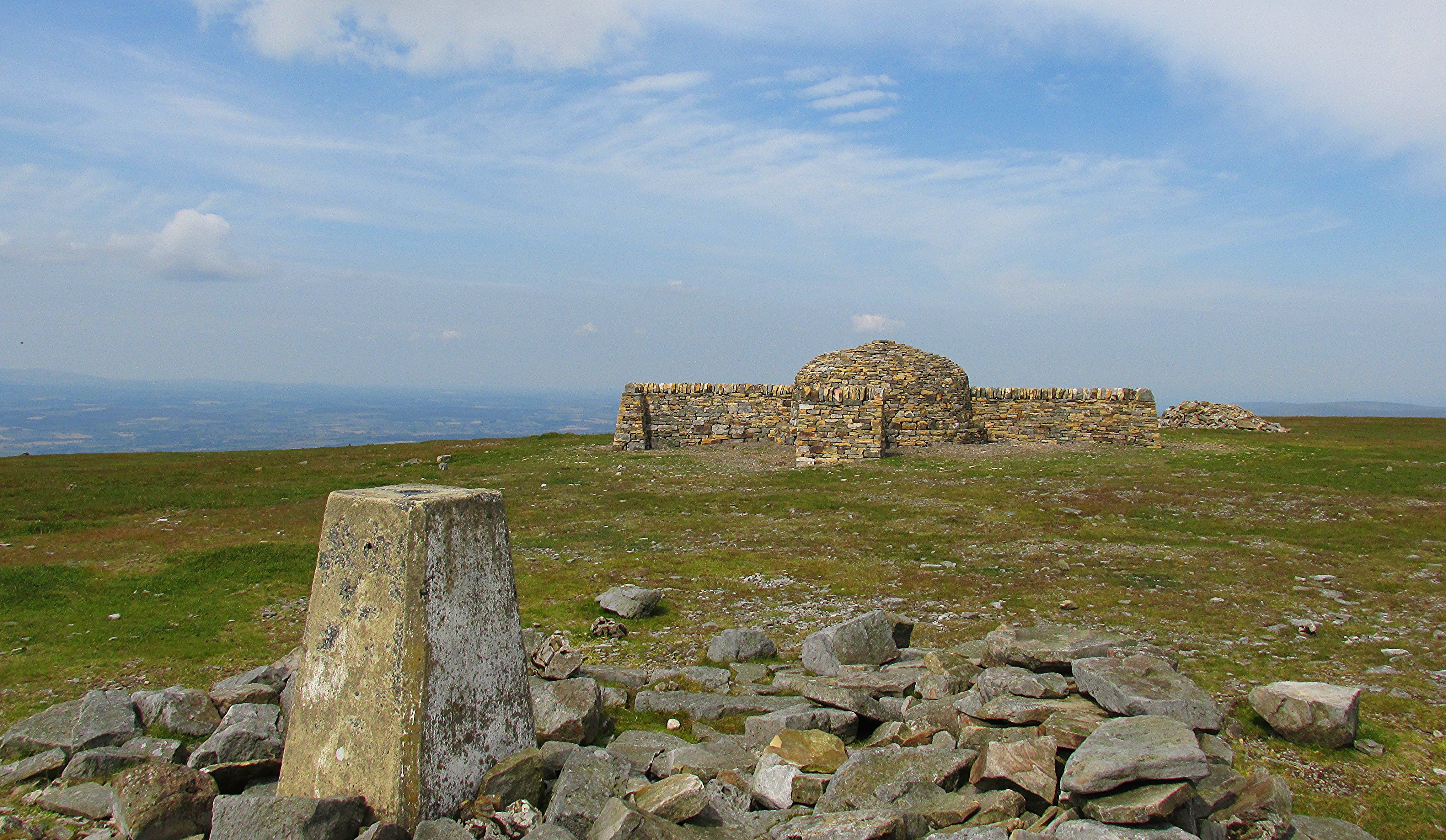
Cross Fell
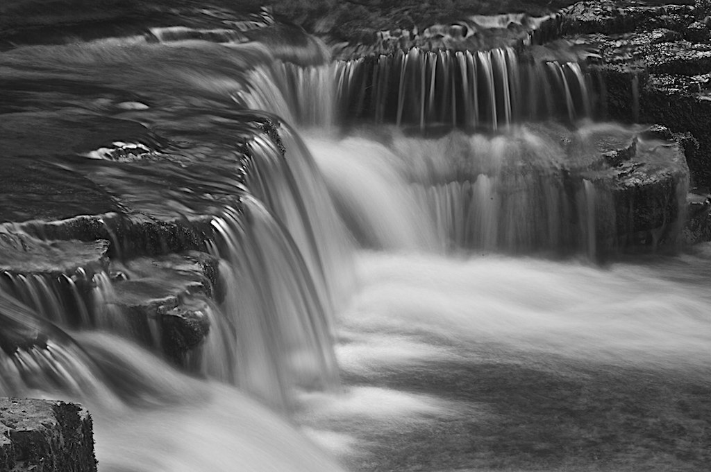
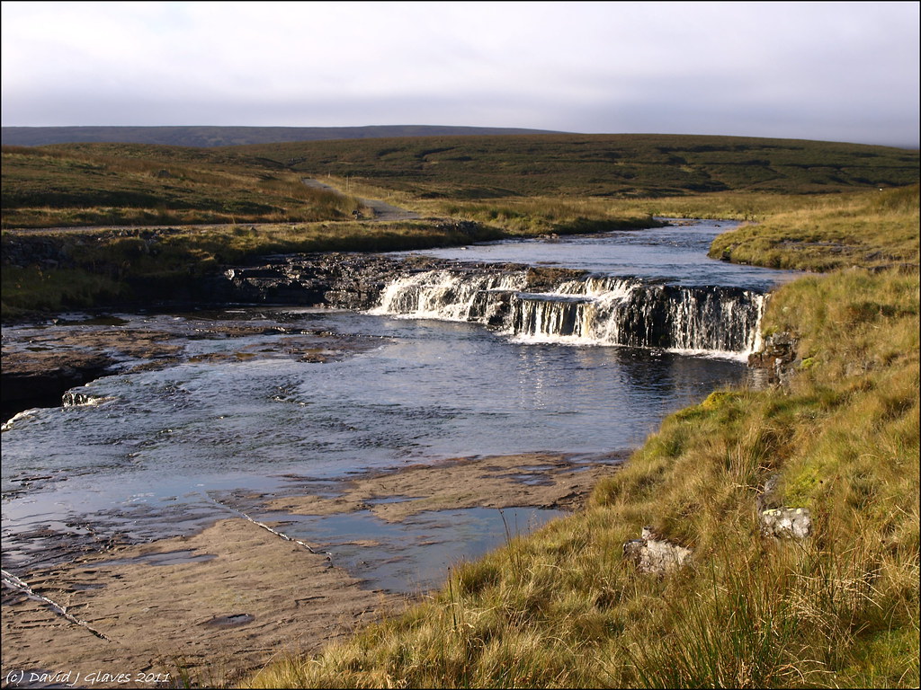
Cross Gill Waterfall
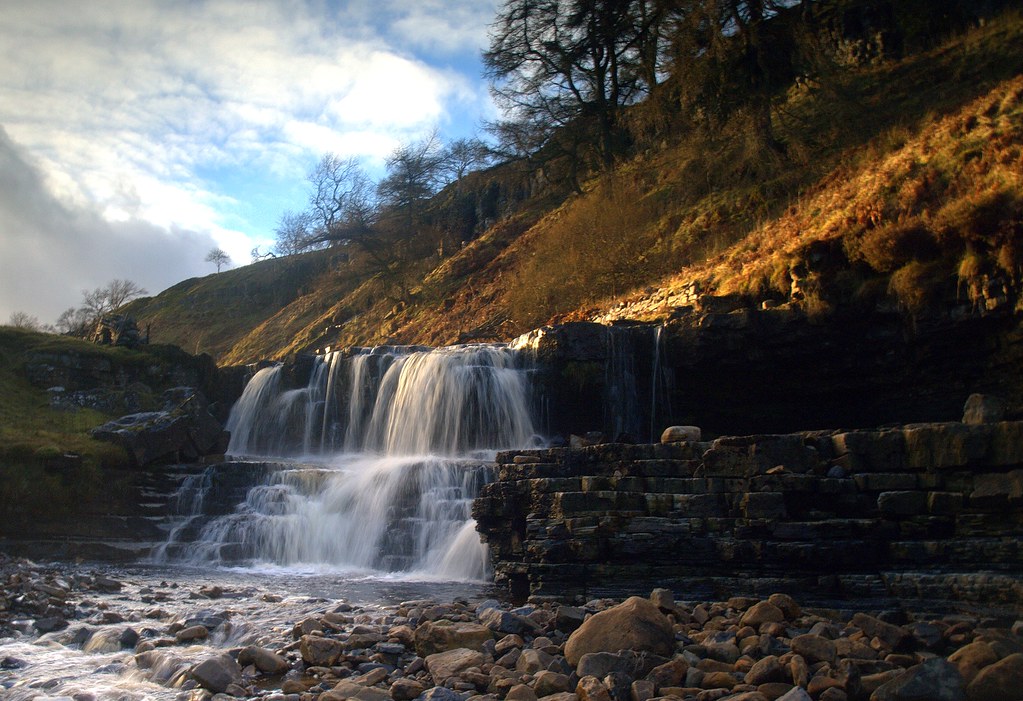
High Force Waterfall, Teesdale
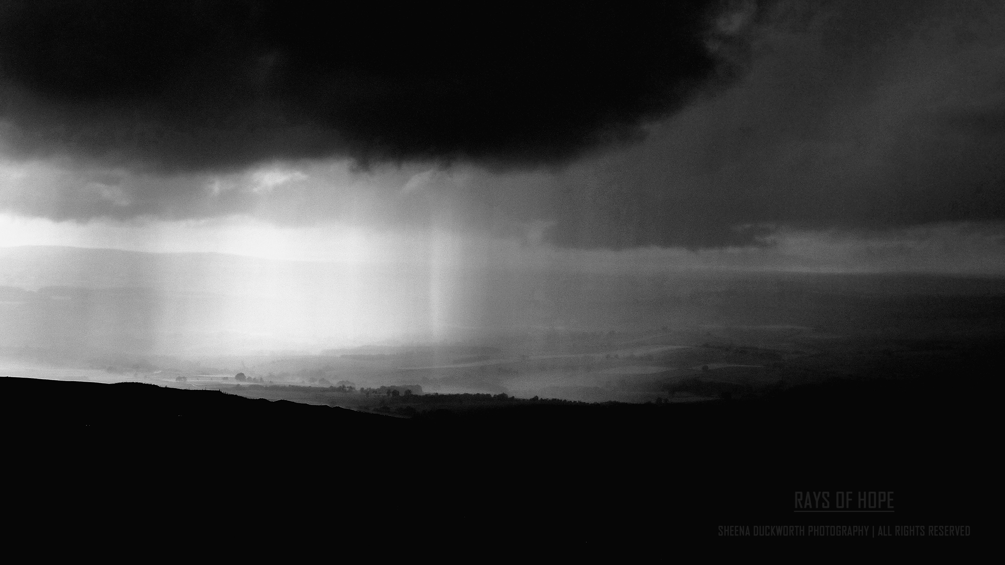
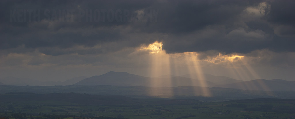
Rays Of Hope
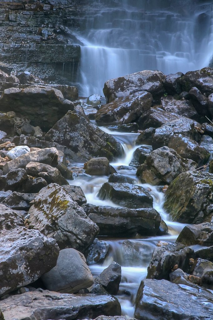
Approaching Ashgill Force, North Pennines

Z Curve
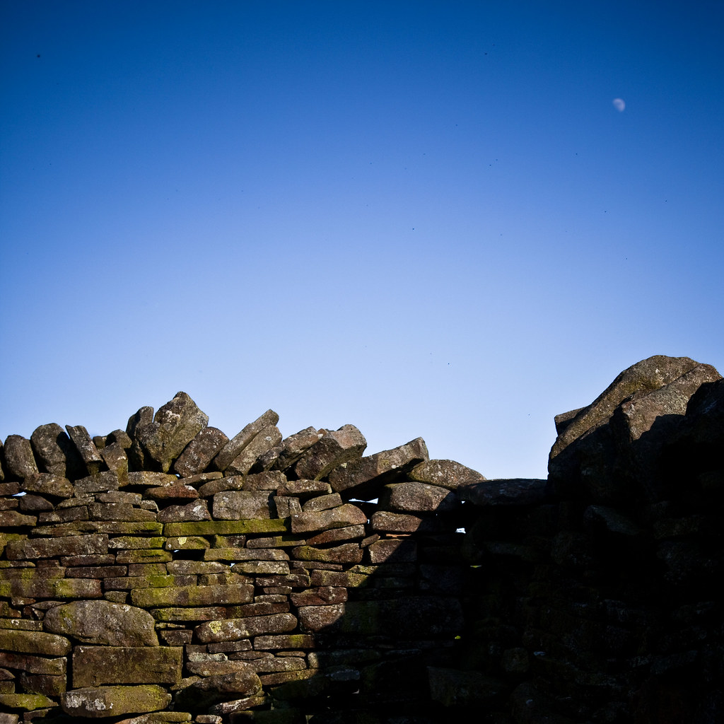
The moon above a dry stone nose...
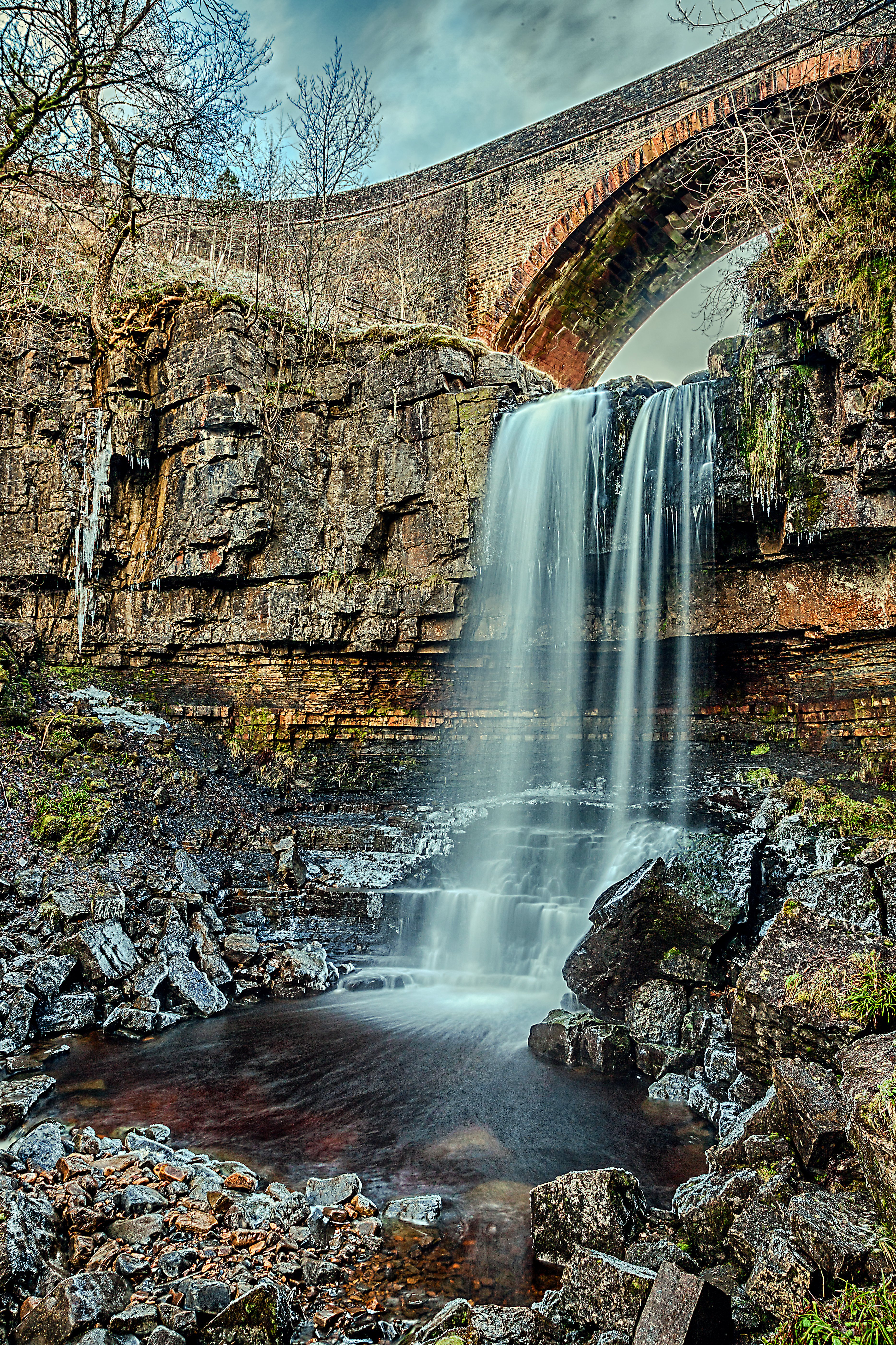
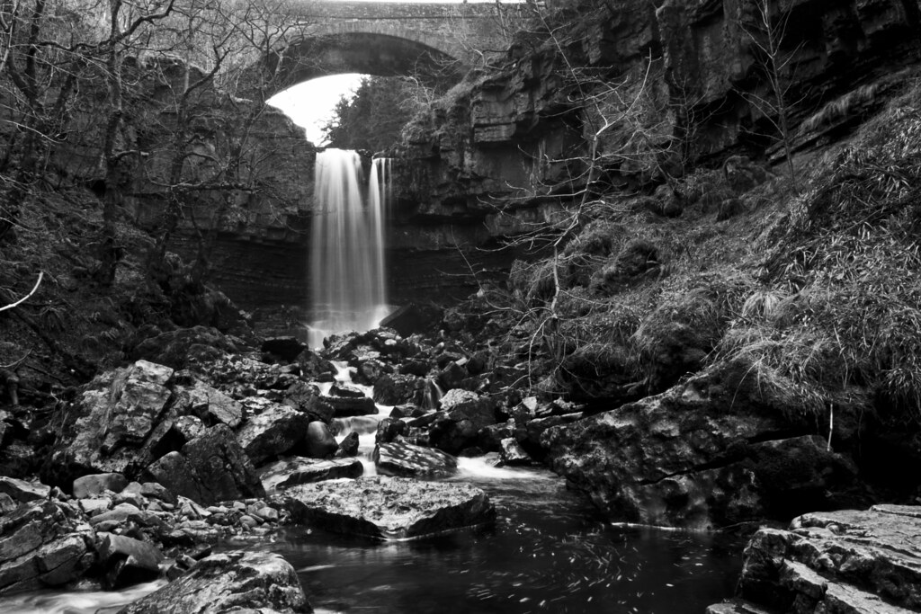
Ashgill Force
Trout Beck
Ashgill Force, North Pennines
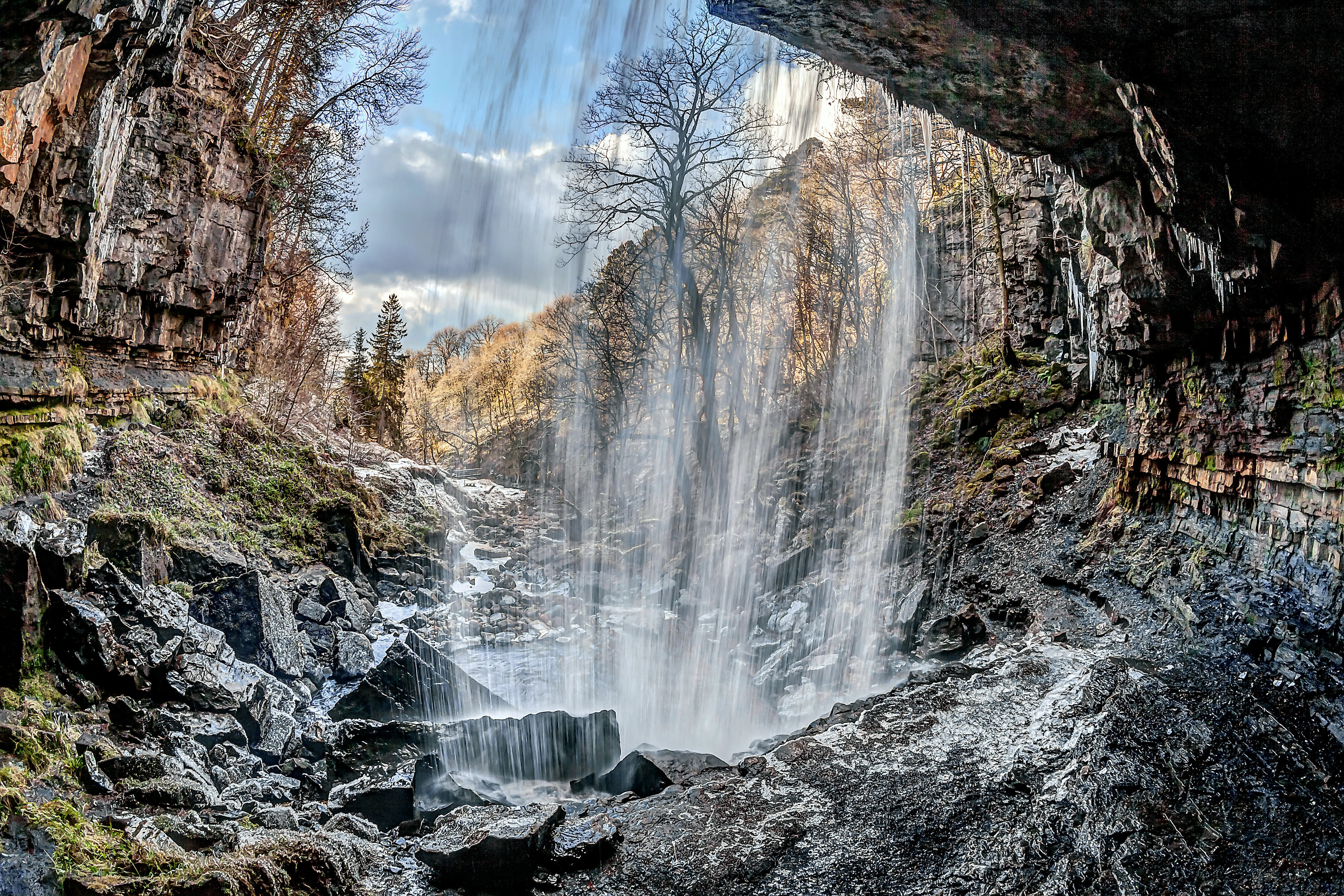
Behind the curtain

The Alston Road

Catton Beacon
isolation.
The Pennine way 108.

ASHGILL FORCE
The Sky Today Edit II
Topographic Map of Granville House, Alston CA9 3HX, UK
Find elevation by address:

Places near Granville House, Alston CA9 3HX, UK:
Alston
Townfoot
Park Lane
Raise
Ghyll House
Ca9 3ej
Ca9 3lg
Garrigill
1 Grassfields Cottages, Nenthead, Alston CA9 3LW, UK
Nenthead
Nenthead Mines
Hartside Pass
Cross Fell
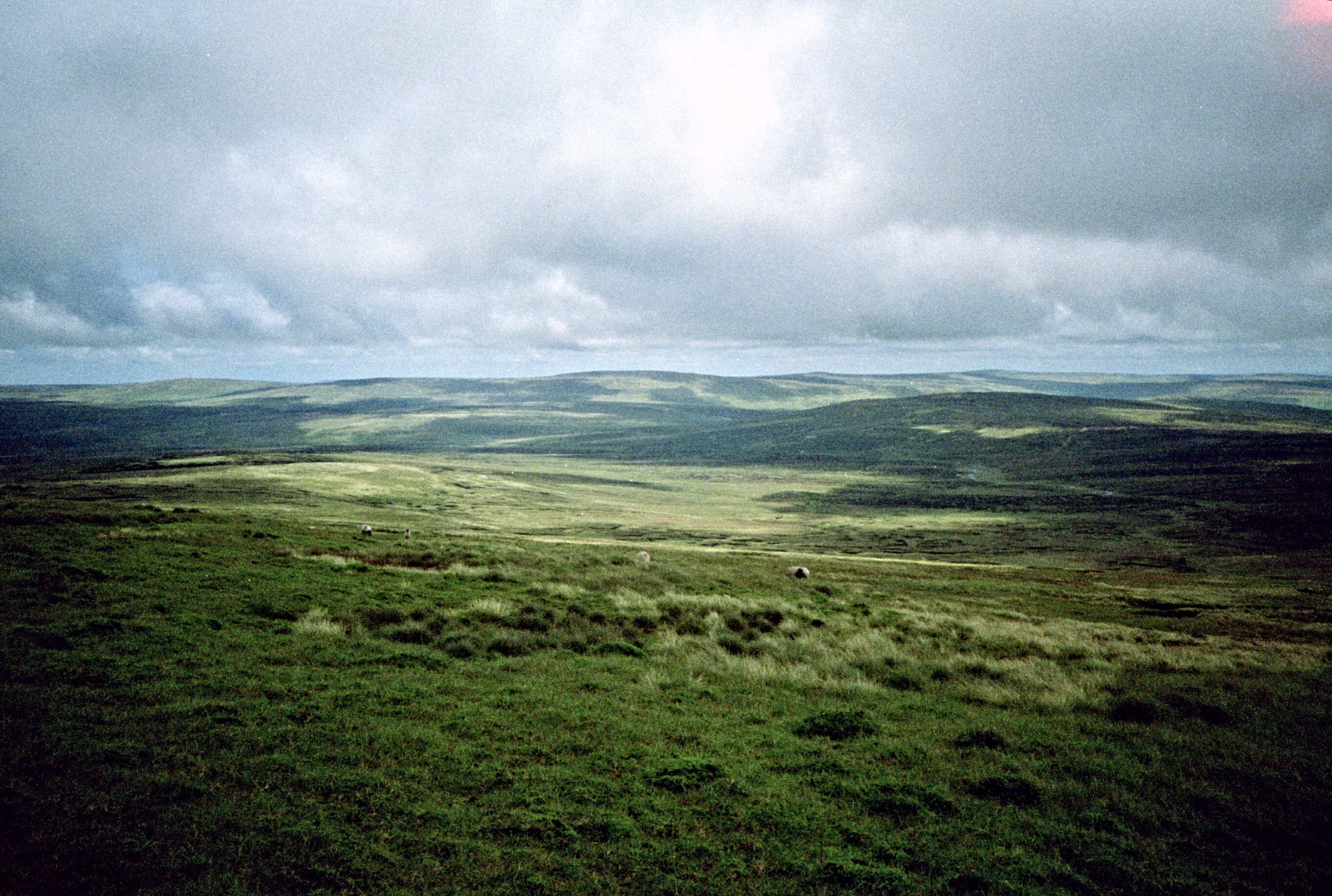
Pennines
Killhope Cross
Carrshield
2 Blue Row, Carrshield, Hexham NE47 8AR, UK
Ne47 8ap
Kirkland
Killhope Lead Mining Museum
Recent Searches:
- Elevation of 2881, Chabot Drive, San Bruno, San Mateo County, California, 94066, USA
- Elevation of 10370, West 107th Circle, Westminster, Jefferson County, Colorado, 80021, USA
- Elevation of 611, Roman Road, Old Ford, Bow, London, England, E3 2RW, United Kingdom
- Elevation of 116, Beartown Road, Underhill, Chittenden County, Vermont, 05489, USA
- Elevation of Window Rock, Colfax County, New Mexico, 87714, USA
- Elevation of 4807, Rosecroft Street, Kempsville Gardens, Virginia Beach, Virginia, 23464, USA
- Elevation map of Matawinie, Quebec, Canada
- Elevation of Sainte-Émélie-de-l'Énergie, Matawinie, Quebec, Canada
- Elevation of Rue du Pont, Sainte-Émélie-de-l'Énergie, Matawinie, Quebec, J0K2K0, Canada
- Elevation of 8, Rue de Bécancour, Blainville, Thérèse-De Blainville, Quebec, J7B1N2, Canada
- Elevation of Wilmot Court North, 163, University Avenue West, Northdale, Waterloo, Region of Waterloo, Ontario, N2L6B6, Canada
- Elevation map of Panamá Province, Panama
- Elevation of Balboa, Panamá Province, Panama
- Elevation of San Miguel, Balboa, Panamá Province, Panama
- Elevation of Isla Gibraleón, San Miguel, Balboa, Panamá Province, Panama
- Elevation of 4655, Krischke Road, Schulenburg, Fayette County, Texas, 78956, USA
- Elevation of Carnegie Avenue, Downtown Cleveland, Cleveland, Cuyahoga County, Ohio, 44115, USA
- Elevation of Walhonding, Coshocton County, Ohio, USA
- Elevation of Clifton Down, Clifton, Bristol, City of Bristol, England, BS8 3HU, United Kingdom
- Elevation map of Auvergne-Rhône-Alpes, France