Elevation of Payne Rd, Russellville, MO, USA
Location: United States > Missouri > Cole County > Moreau Township > Russellville >
Longitude: -92.452581
Latitude: 38.455851
Elevation: 225m / 738feet
Barometric Pressure: 99KPa
Elevation Map:
Satellite Map:
Related Photos:
Photography - 05
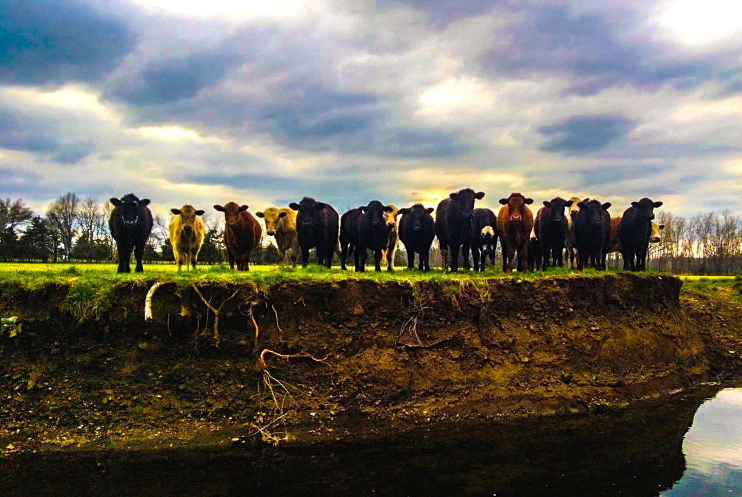
Shelby Bledsoe - Calm Before the Storm
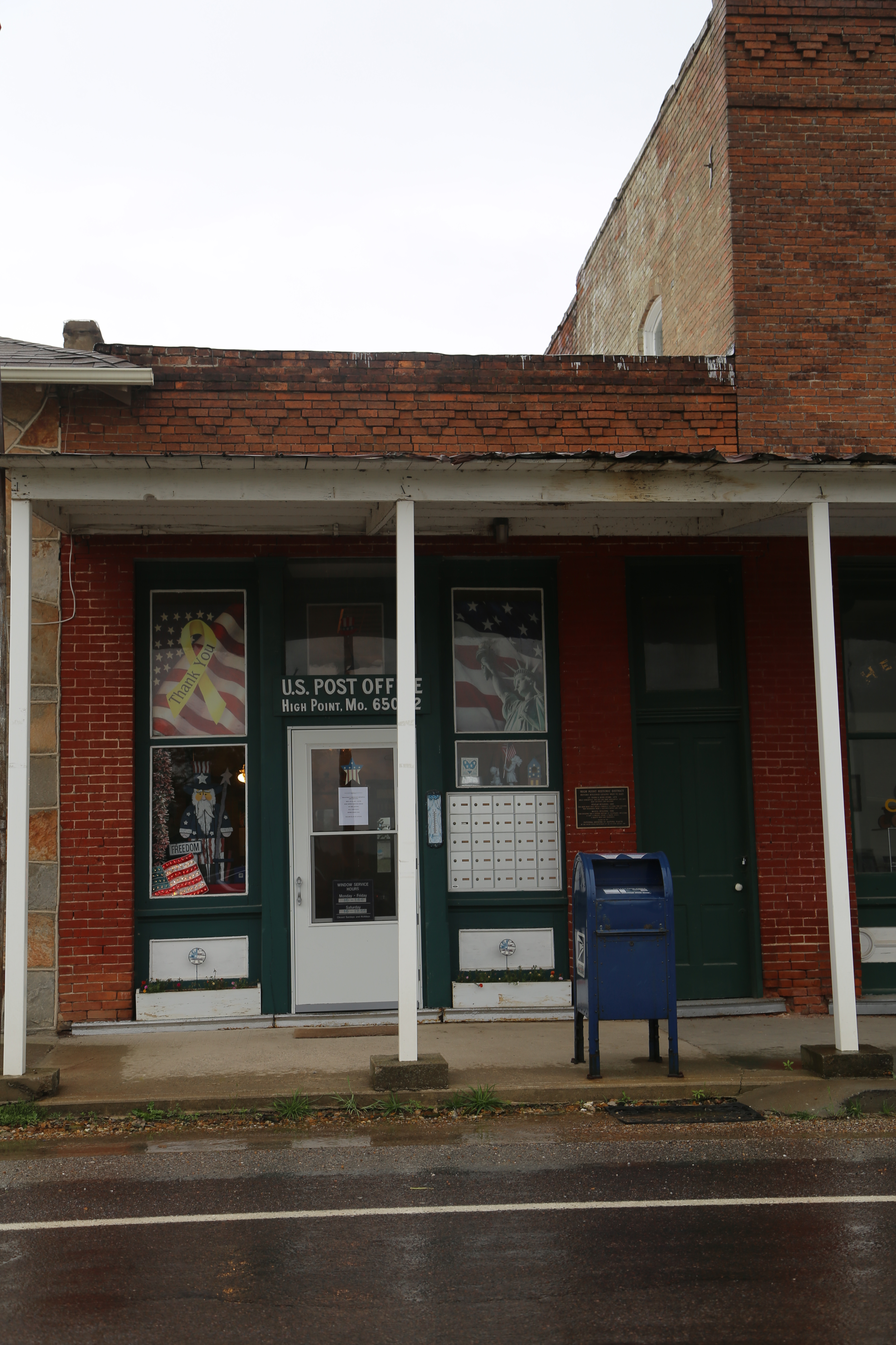
High Point Missouri, Post Office, 65054, Moniteau County MO
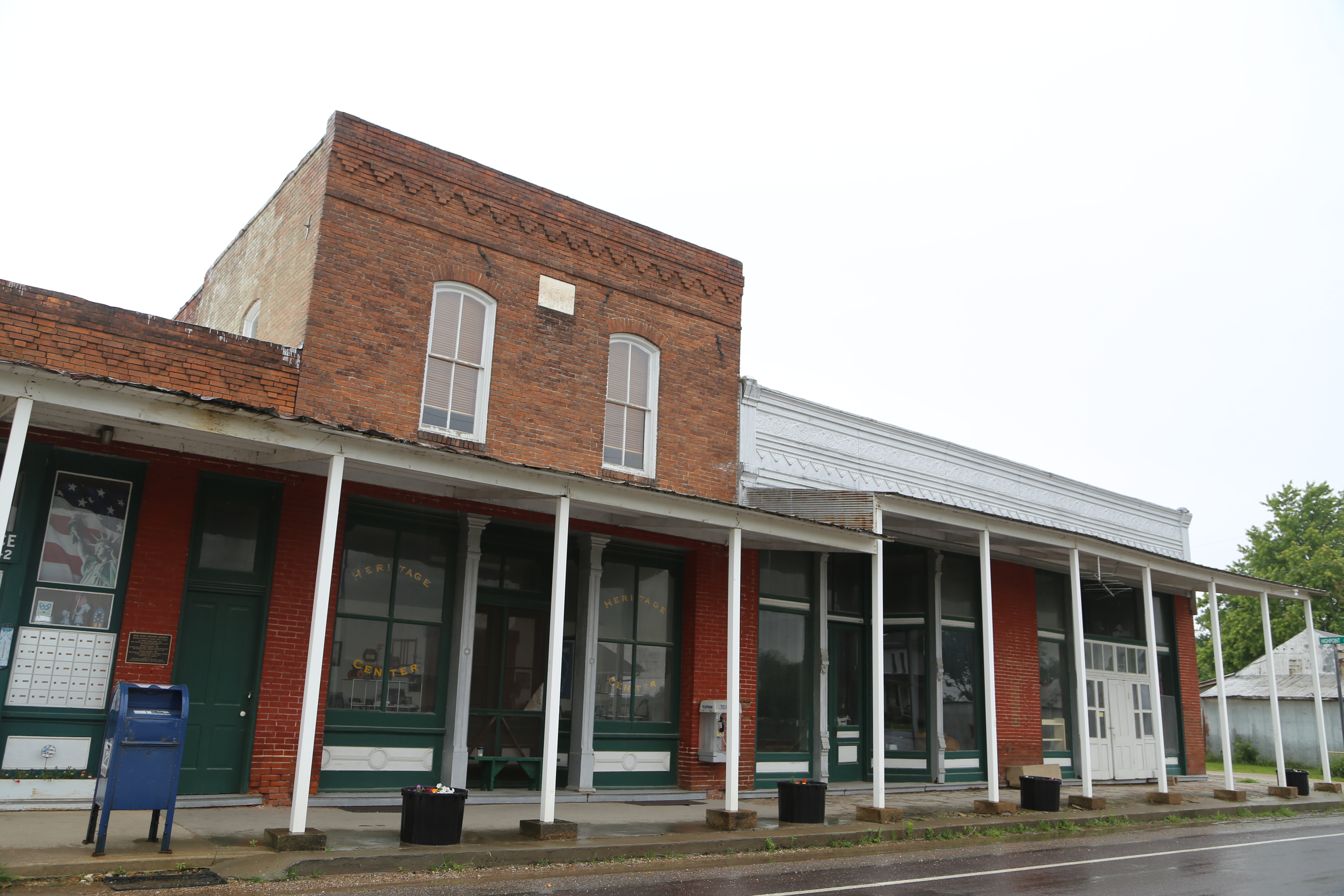
High Point Missouri, Moniteau County MO
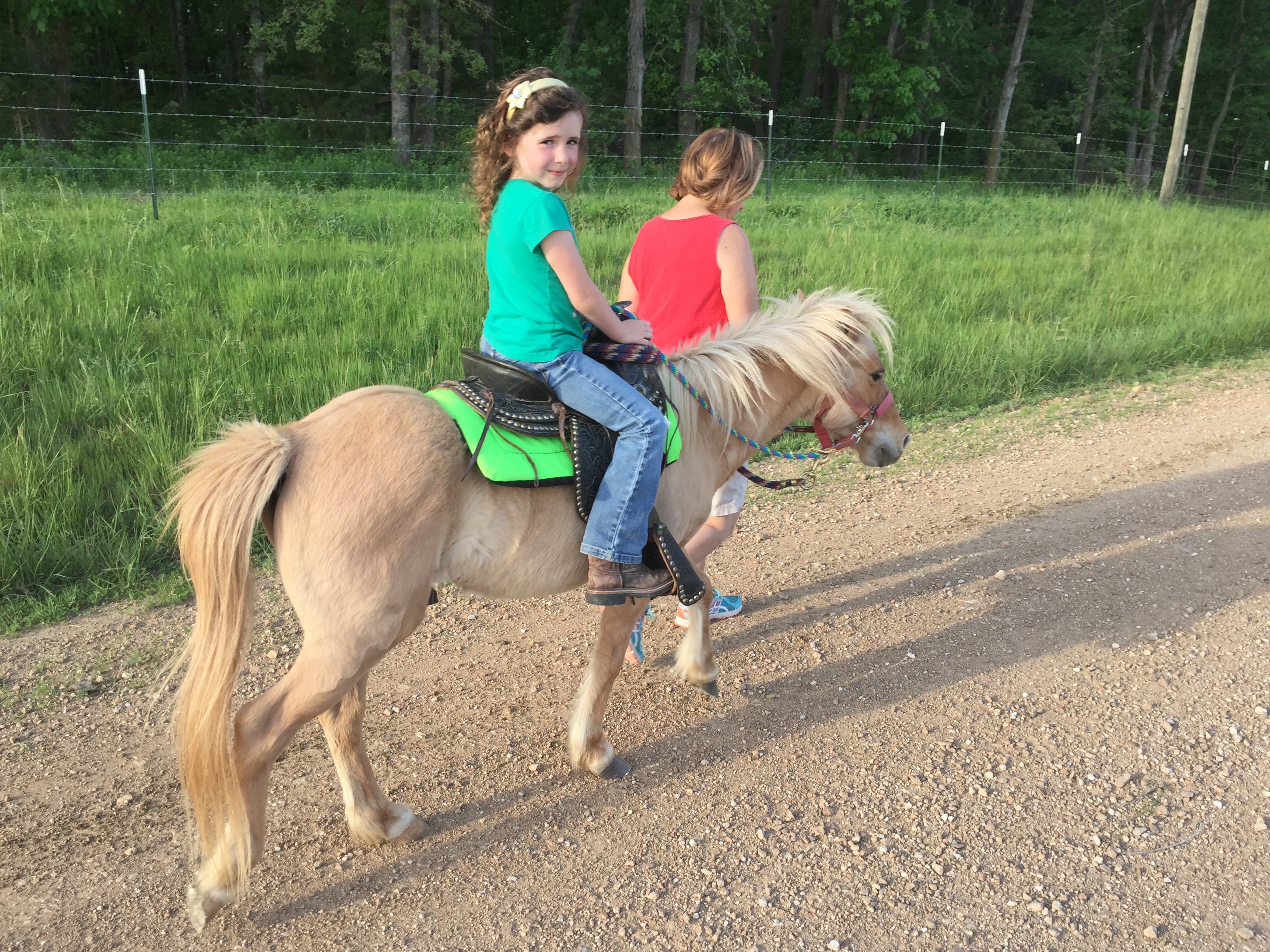
Barbara Whittle - Princess and the Pony
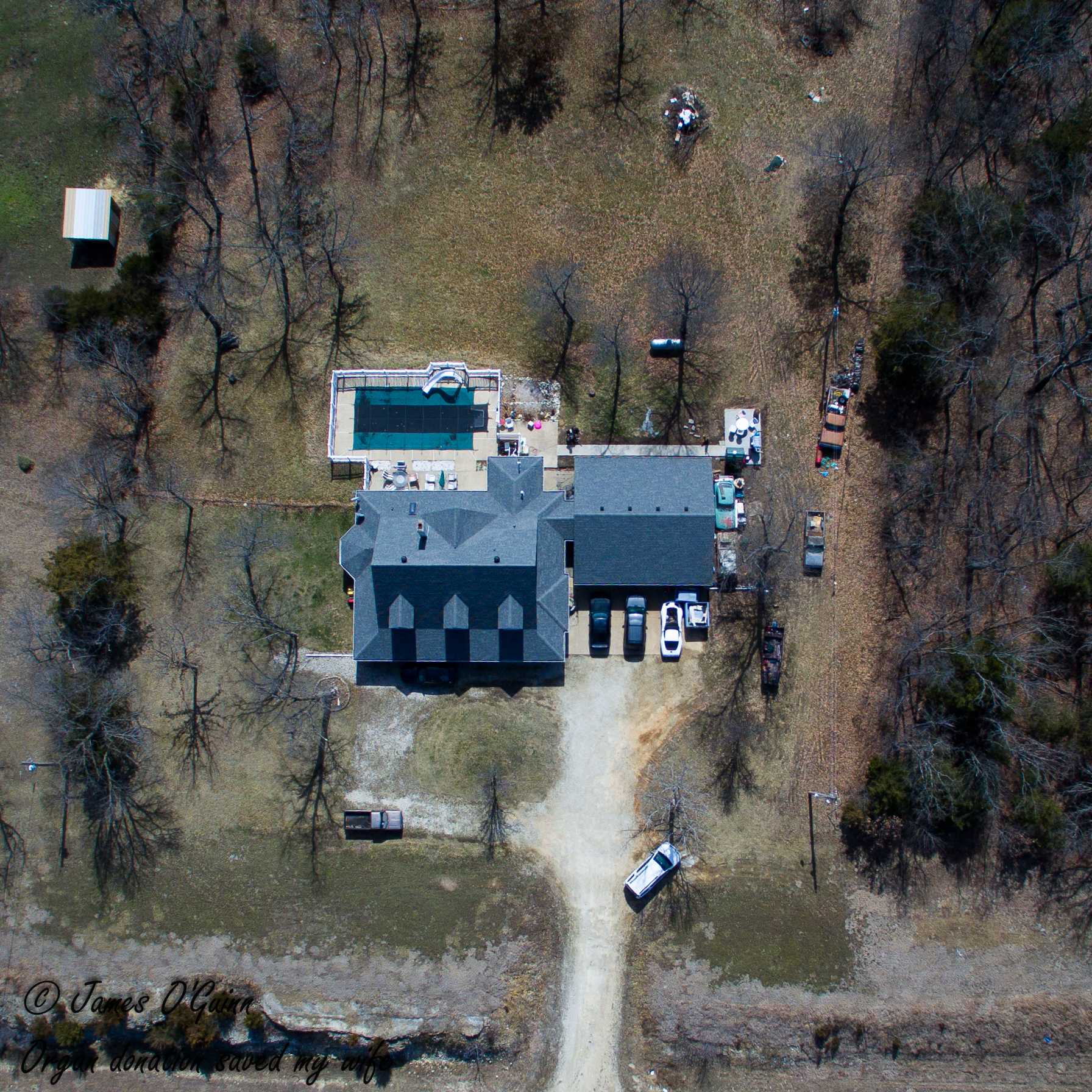
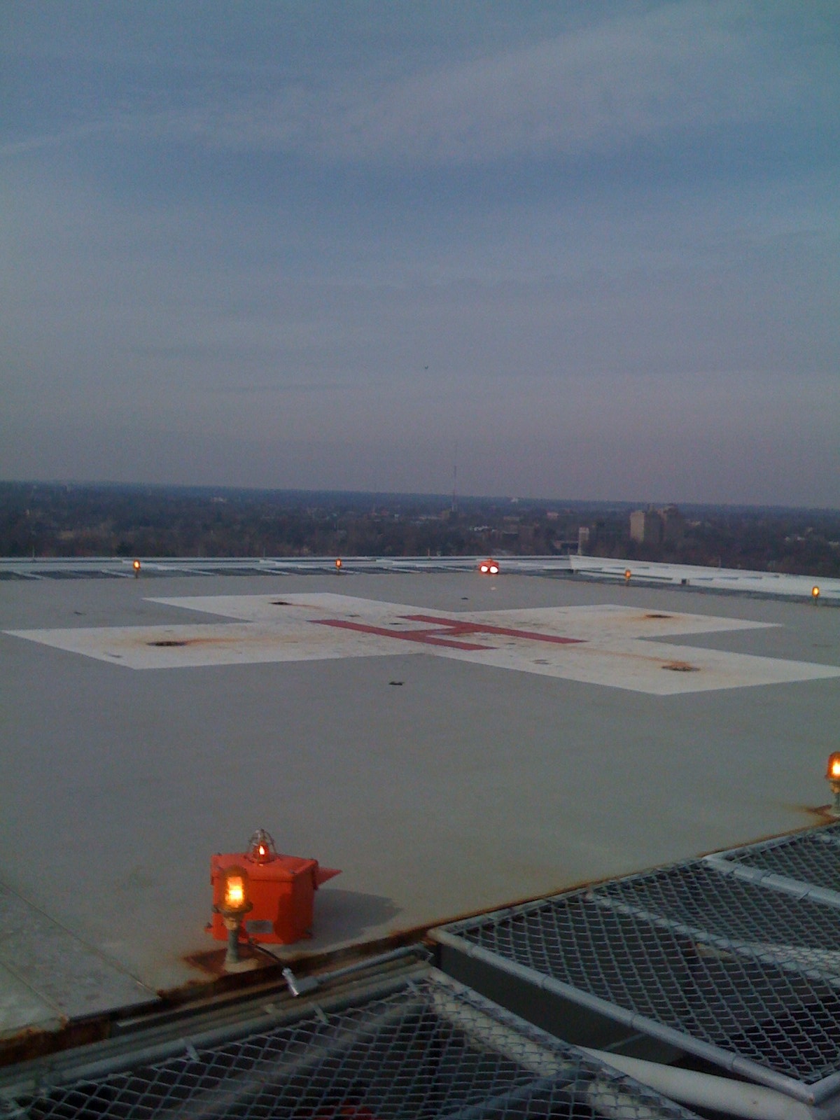
Chip's House - Aerial

window seat
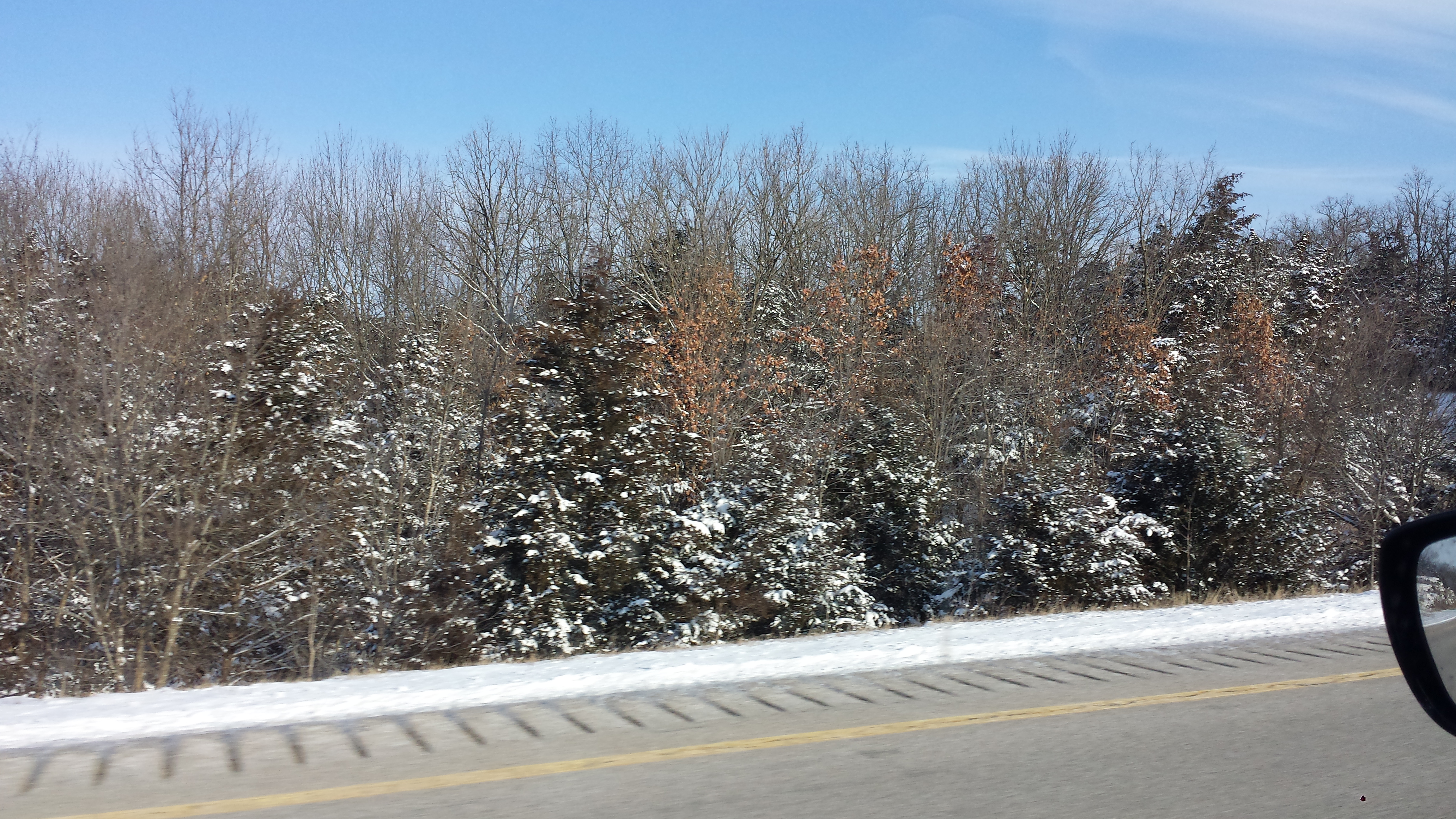
Baby, it's cold outside!
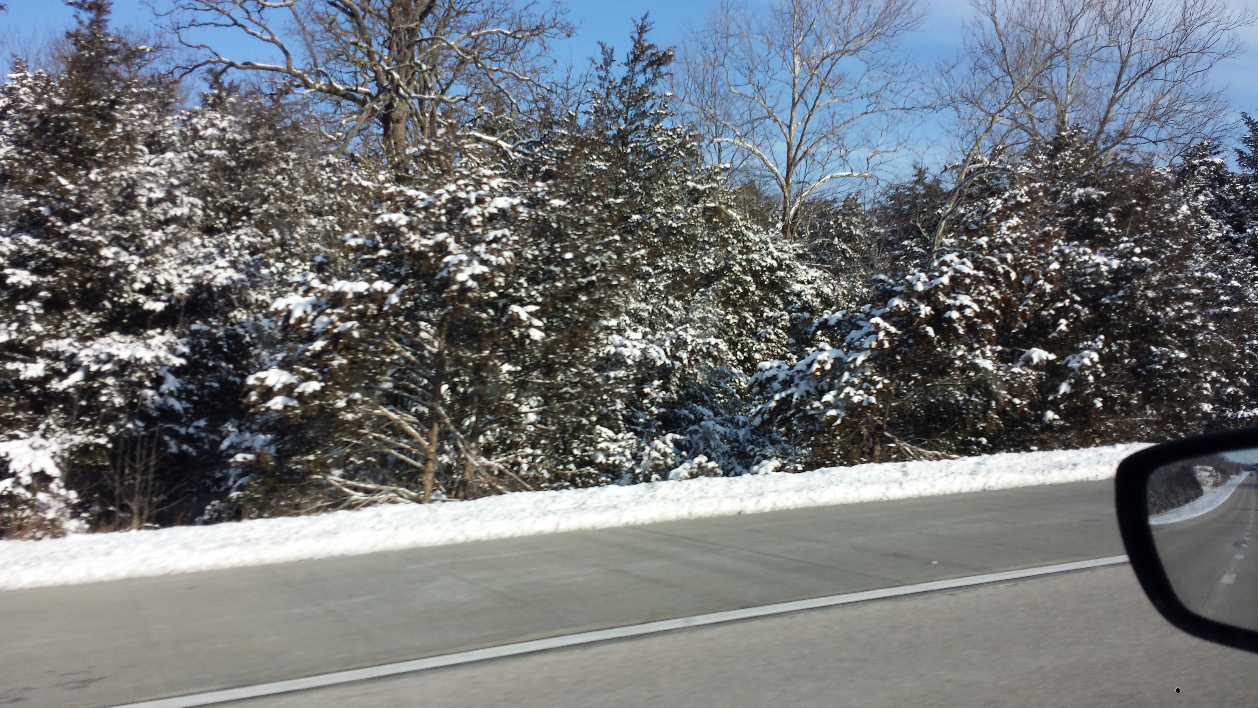
Baby, it's cold outside!
Quail Valley in JC
Wayne Dummermuth - Trim Time
Wayne Dummermuth - Taking a Break

Ida Rolston
Lake bound

where my grandma lived

where my grandma lived
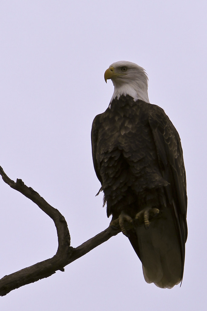
Bald Eagle (Haliaeetus leucocephalus)

little bridge

ghostly pic
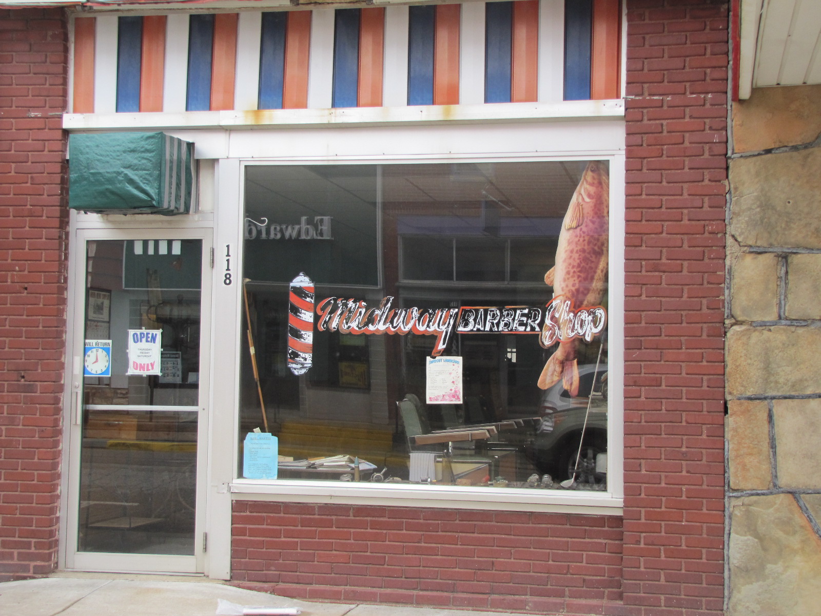
Midway Barber Shop
Bypassed but not forgotten
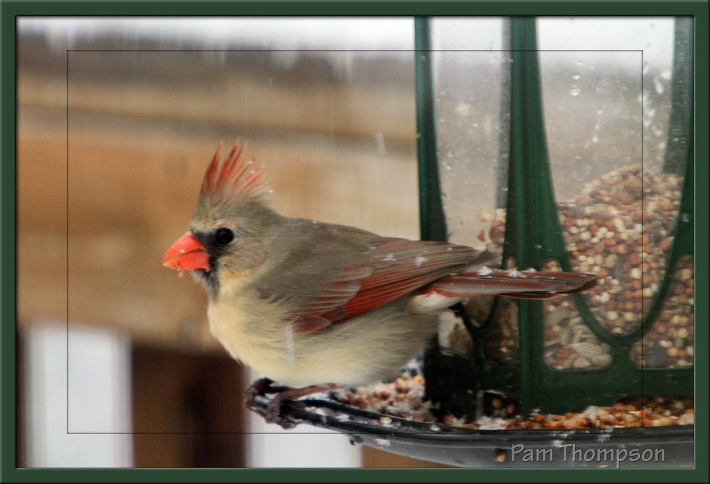
Female Cardinal
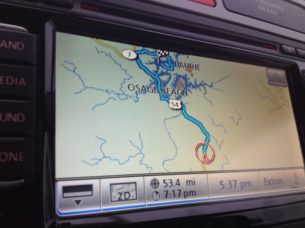
Topographic Map of Payne Rd, Russellville, MO, USA
Find elevation by address:

Places near Payne Rd, Russellville, MO, USA:
Russellville
Moreau Township
328 Shaw Rd
7912 Scrivner Rd
9814 State Hwy Bb
Eugene
Clark Township
Old Bass Rd, Eugene, MO, USA
High Point
Brazito
Rte U, Centertown, MO, USA
Centertown
Eldon
Henley
Moniteau County
3122 Landing Creek Rd
5204 Scruggs Station Rd
Kings Chapel Road
Route E
Cole County
Recent Searches:
- Elevation of Corso Fratelli Cairoli, 35, Macerata MC, Italy
- Elevation of Tallevast Rd, Sarasota, FL, USA
- Elevation of 4th St E, Sonoma, CA, USA
- Elevation of Black Hollow Rd, Pennsdale, PA, USA
- Elevation of Oakland Ave, Williamsport, PA, USA
- Elevation of Pedrógão Grande, Portugal
- Elevation of Klee Dr, Martinsburg, WV, USA
- Elevation of Via Roma, Pieranica CR, Italy
- Elevation of Tavkvetili Mountain, Georgia
- Elevation of Hartfords Bluff Cir, Mt Pleasant, SC, USA