Elevation of Paul's Woods Road, Paul's Woods Rd, Sherman, WV, USA
Location: United States > West Virginia > Baker >
Longitude: -78.652008
Latitude: 39.1753458
Elevation: 398m / 1306feet
Barometric Pressure: 97KPa
Elevation Map:
Satellite Map:
Related Photos:
DSC01432 027 View

Taking in the view from the #frontporch of the #oldredstore in #caponsprings

The #morning #panorama #view from the #cottage @ #caponsprings
DSC02420.JPG
DSC00997 006 Max Spitzer Overlook view
Lost River

DSC00996 006 Max Spitzer Overlook view

DSC01431 027 View

DSC01433 027 View
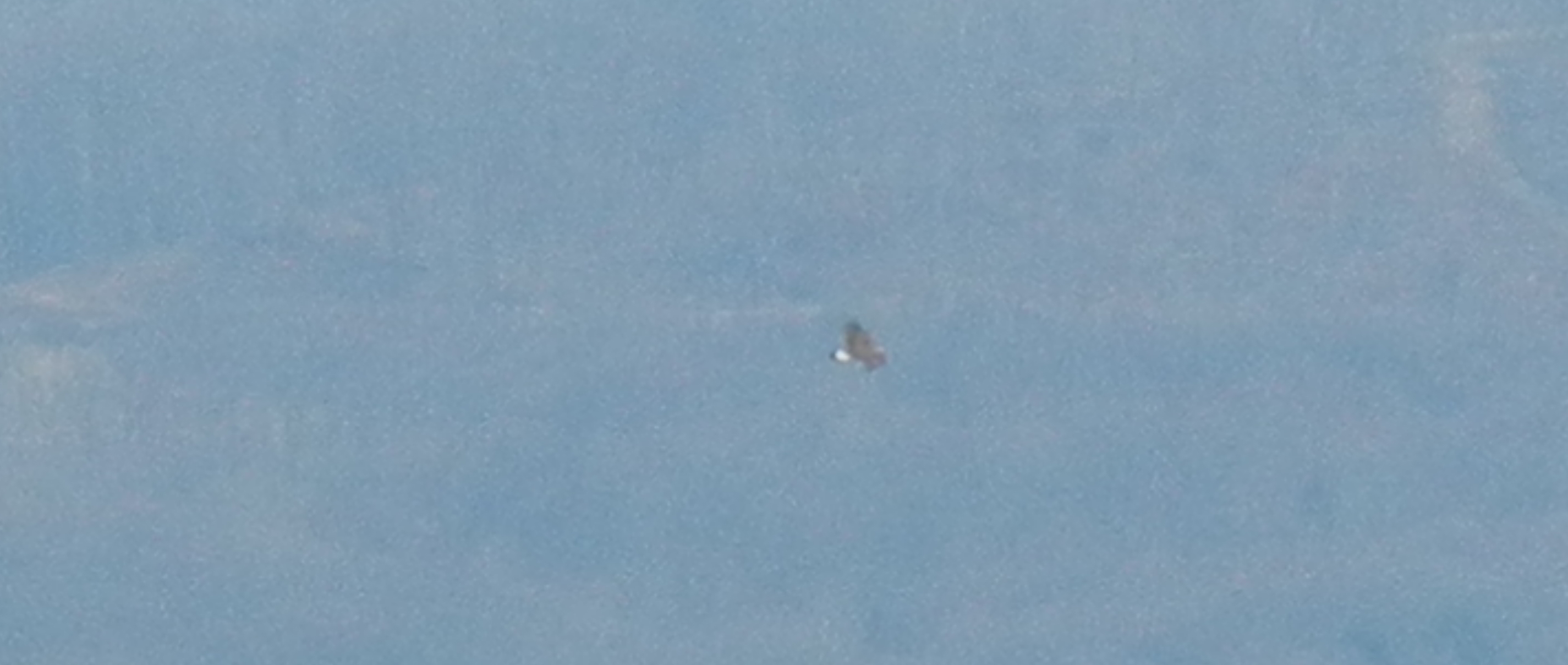
Golden Eagle immature GBBC
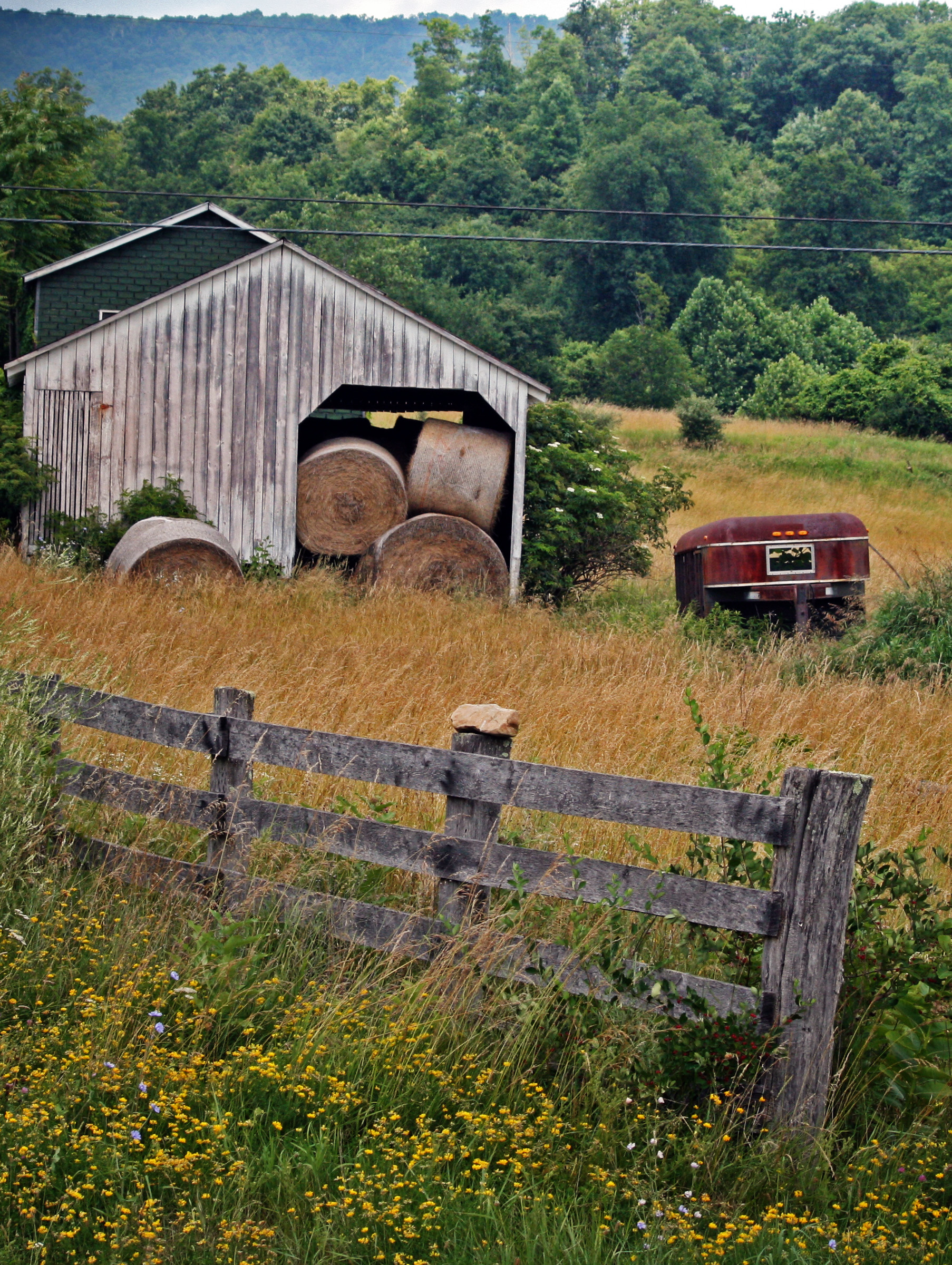
Hay Barn and Trailer
DSC_4409.JPG
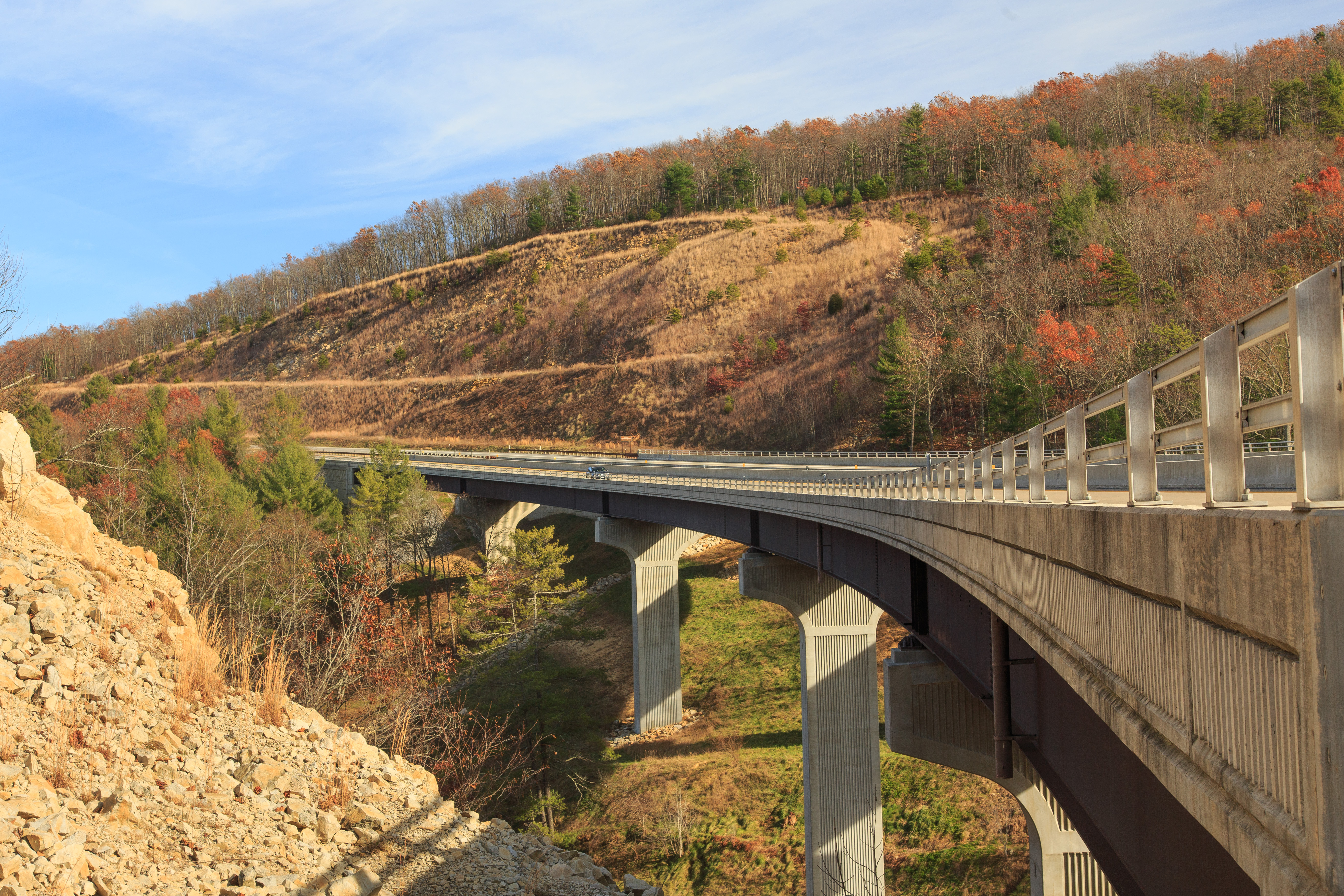
Highway Bridge
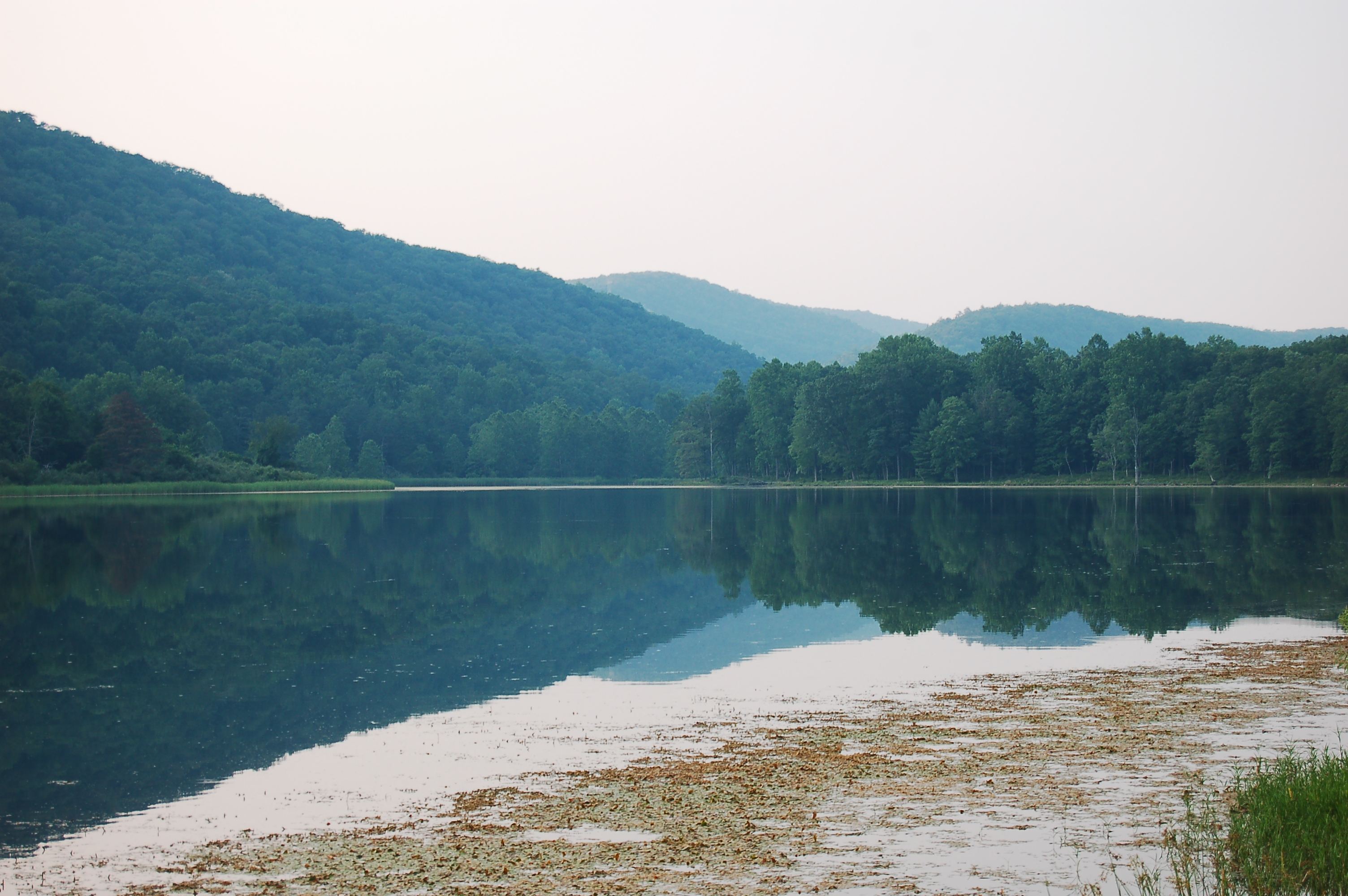
Beauty On The River
DSC00974 005 Utility Tr near Squirrel Gap Tr Old Rte 55

DSC01002 008 Blowdown

Yellow #autumn #leaves along the sleepy #northforklittlecacaponriver #littlecacapon #littlecacaponriver #frenchburg #frenchburgwv #frenchburgwestvirginia #wv #westvirginia #wv_igers #autumn #fall #almostheaven #wildandwonderful #instanature #northwestern
The Chimney itself
DSC00966 003 Jct Squirrel Gap Tr Lost River
DSC_4383.JPG
Tearcoat Creek

DSC01437 028 Jct Squirrel Gap Tr and Lost River east bank

DSC00967 003 Jct Squirrel Gap Tr Lost River

DSC01011 010 Sandy Ridge Tr jct FDR 344_Squirrel Gap Tr
DSC_4445.JPG
DSC01500 009 Hawk Campground sign
Topographic Map of Paul's Woods Road, Paul's Woods Rd, Sherman, WV, USA
Find elevation by address:

Places near Paul's Woods Road, Paul's Woods Rd, Sherman, WV, USA:
Deep Woods Run
10000 Wv-29
South Lick Run Road
South Lick Run Road
Rio
Delray
1608 County Rte 53
Journeys End Ln, Wardensville, WV, USA
4671 Co Rte 3/1
4671 Co Rte 3/1
553 Warden Lake A B Dr
Kirby
902 Warden Hollow West Rd
1235 Lost River Ridge Cir
Baker Mountain Drive
999 Lost River Ridge Cir
999 Lost River Ridge Cir
999 Lost River Ridge Cir
Peaks View Drive
Capon
Recent Searches:
- Elevation of Corso Fratelli Cairoli, 35, Macerata MC, Italy
- Elevation of Tallevast Rd, Sarasota, FL, USA
- Elevation of 4th St E, Sonoma, CA, USA
- Elevation of Black Hollow Rd, Pennsdale, PA, USA
- Elevation of Oakland Ave, Williamsport, PA, USA
- Elevation of Pedrógão Grande, Portugal
- Elevation of Klee Dr, Martinsburg, WV, USA
- Elevation of Via Roma, Pieranica CR, Italy
- Elevation of Tavkvetili Mountain, Georgia
- Elevation of Hartfords Bluff Cir, Mt Pleasant, SC, USA