Elevation of Delray, WV, USA
Location: United States > West Virginia > Hampshire County > Sherman >
Longitude: -78.604178
Latitude: 39.1945484
Elevation: 304m / 997feet
Barometric Pressure: 98KPa
Elevation Map:
Satellite Map:
Related Photos:
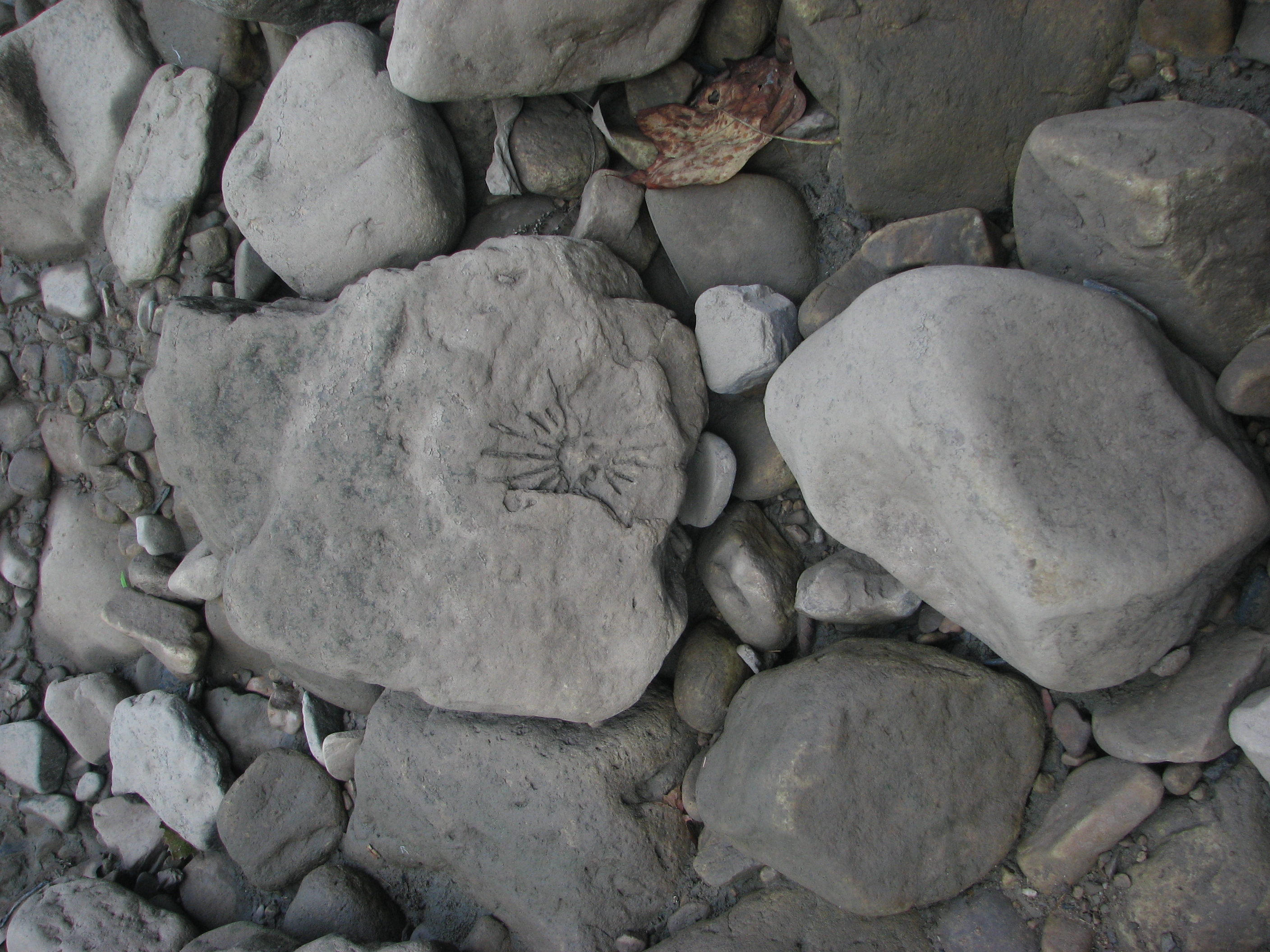
IMG_2034.JPG

The #morning #panorama #view from the #cottage @ #caponsprings

Taking in the view from the #frontporch of the #oldredstore in #caponsprings

DSC02420.JPG

We weren't expecting the waist-deep snow-drifts... neither were my shoes, but this view made it worth the pain.???? (debatably)
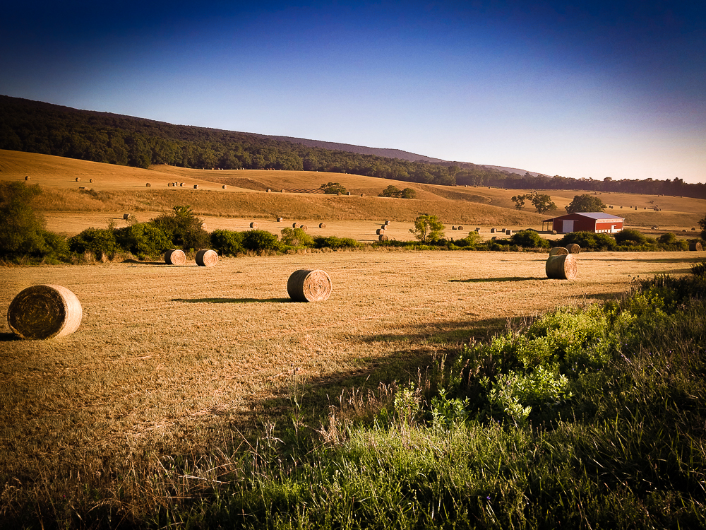
Hay Bales Sperrys Run

Fall at the creek within Capon Springs and Farms

Pine Draft Farm in Hampshire County, W.Va.

Pine Draft Farm in Hampshire County, W.Va.

Pine Draft Farm in Hampshire County, W.Va.

Highway Bridge

Hay Barn and Trailer

Yellow #autumn #leaves along the sleepy #northforklittlecacaponriver #littlecacapon #littlecacaponriver #frenchburg #frenchburgwv #frenchburgwestvirginia #wv #westvirginia #wv_igers #autumn #fall #almostheaven #wildandwonderful #instanature #northwestern
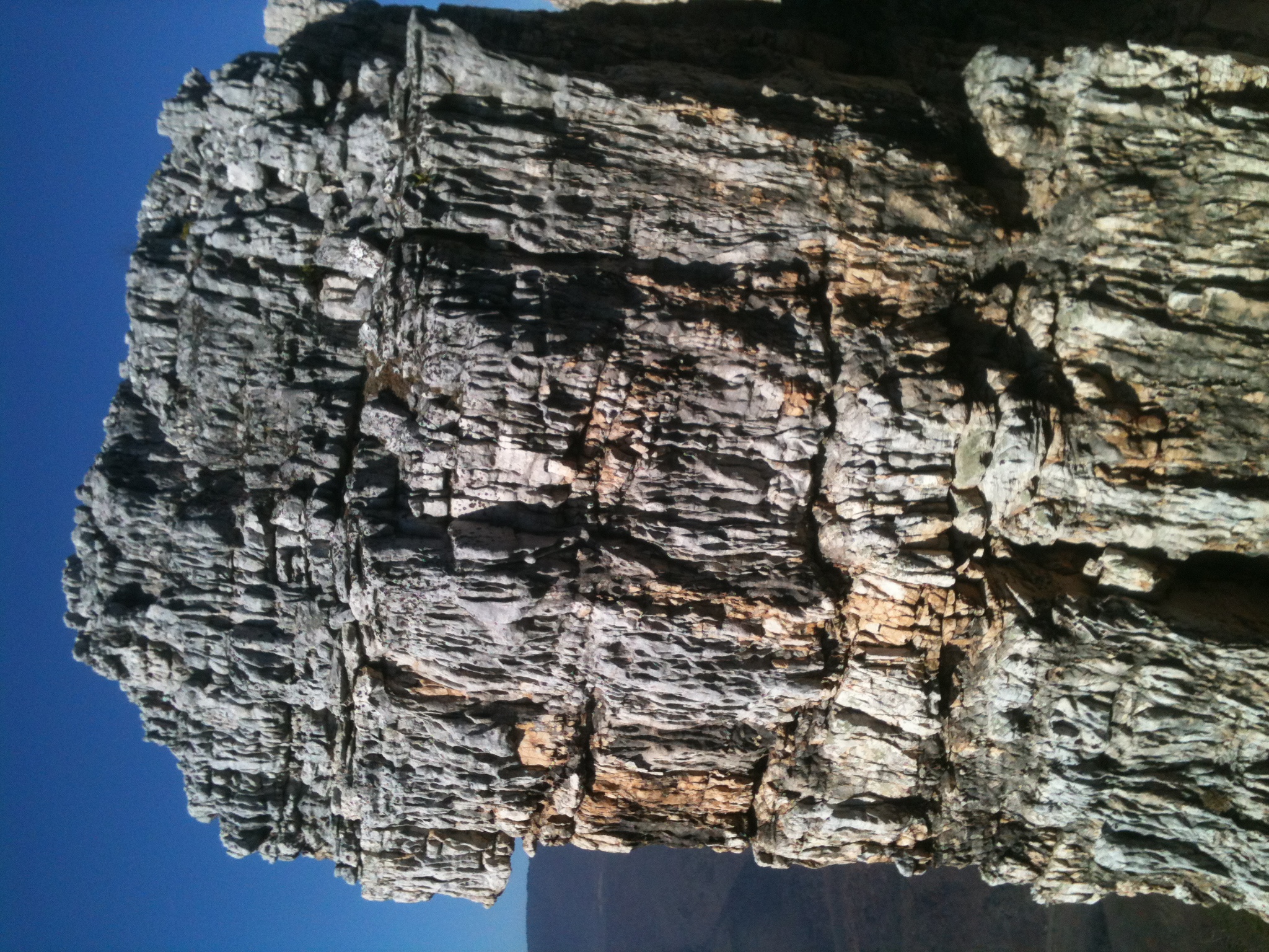
The Chimney itself

20090525-DSC_0698

South Branch of the Little Cacapon Road

20090525-DSC_0739

Camera Roll-1034

DSC_4409.JPG

Tearcoat Creek

DSC00987 003 Jct Squirrel Gap Rd and Sandy Ridge Tr

The Chimney

DSC00991 004 Sandy Ridge Tr gate post

Tearcoat Creek

DSC01552 026 stream xing Sine Run

DSC00982 003 Jct Squirrel Gap Rd and Sandy Ridge Tr
Topographic Map of Delray, WV, USA
Find elevation by address:

Places in Delray, WV, USA:
Places near Delray, WV, USA:
Journeys End Ln, Wardensville, WV, USA
South Lick Run Road
South Lick Run Road
Deep Woods Run
Paul's Woods Road
Peaks View Drive
553 Warden Lake A B Dr
Baker Mountain Drive
10000 Wv-29
902 Warden Hollow West Rd
Lehew, WV, USA
Rio
Yellow Spring
Capon River Rd, High View, WV, USA
Capon River Rd, High View, WV, USA
Capon
1608 County Rte 53
1235 Lost River Ridge Cir
4671 Co Rte 3/1
4671 Co Rte 3/1
Recent Searches:
- Elevation of Corso Fratelli Cairoli, 35, Macerata MC, Italy
- Elevation of Tallevast Rd, Sarasota, FL, USA
- Elevation of 4th St E, Sonoma, CA, USA
- Elevation of Black Hollow Rd, Pennsdale, PA, USA
- Elevation of Oakland Ave, Williamsport, PA, USA
- Elevation of Pedrógão Grande, Portugal
- Elevation of Klee Dr, Martinsburg, WV, USA
- Elevation of Via Roma, Pieranica CR, Italy
- Elevation of Tavkvetili Mountain, Georgia
- Elevation of Hartfords Bluff Cir, Mt Pleasant, SC, USA