Elevation of Peaks View Drive, Peaks View Dr, Capon, WV, USA
Location: United States > West Virginia > Hampshire County > Capon >
Longitude: -78.563018
Latitude: 39.1554299
Elevation: 598m / 1962feet
Barometric Pressure: 94KPa
Elevation Map:
Satellite Map:
Related Photos:
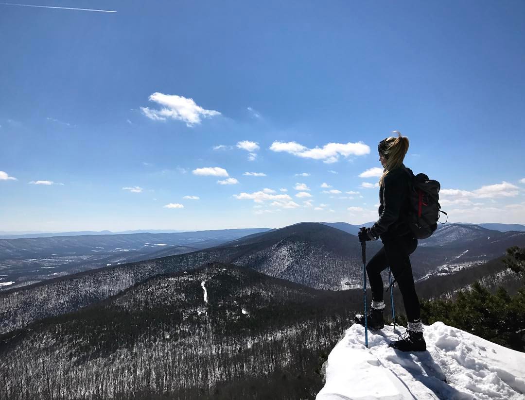
We weren't expecting the waist-deep snow-drifts... neither were my shoes, but this view made it worth the pain.???? (debatably)

Taking in the view from the #frontporch of the #oldredstore in #caponsprings

The #morning #panorama #view from the #cottage @ #caponsprings
DSC02420.JPG
DSC00997 006 Max Spitzer Overlook view

DSC00996 006 Max Spitzer Overlook view
DSC_7145.JPG
DSC_4383.JPG
Highway Bridge
DSC01500 009 Hawk Campground sign
20090525-DSC_0698
DSC00594 137 TT jct Gander Rock Rd
DSC00974 005 Utility Tr near Squirrel Gap Tr Old Rte 55

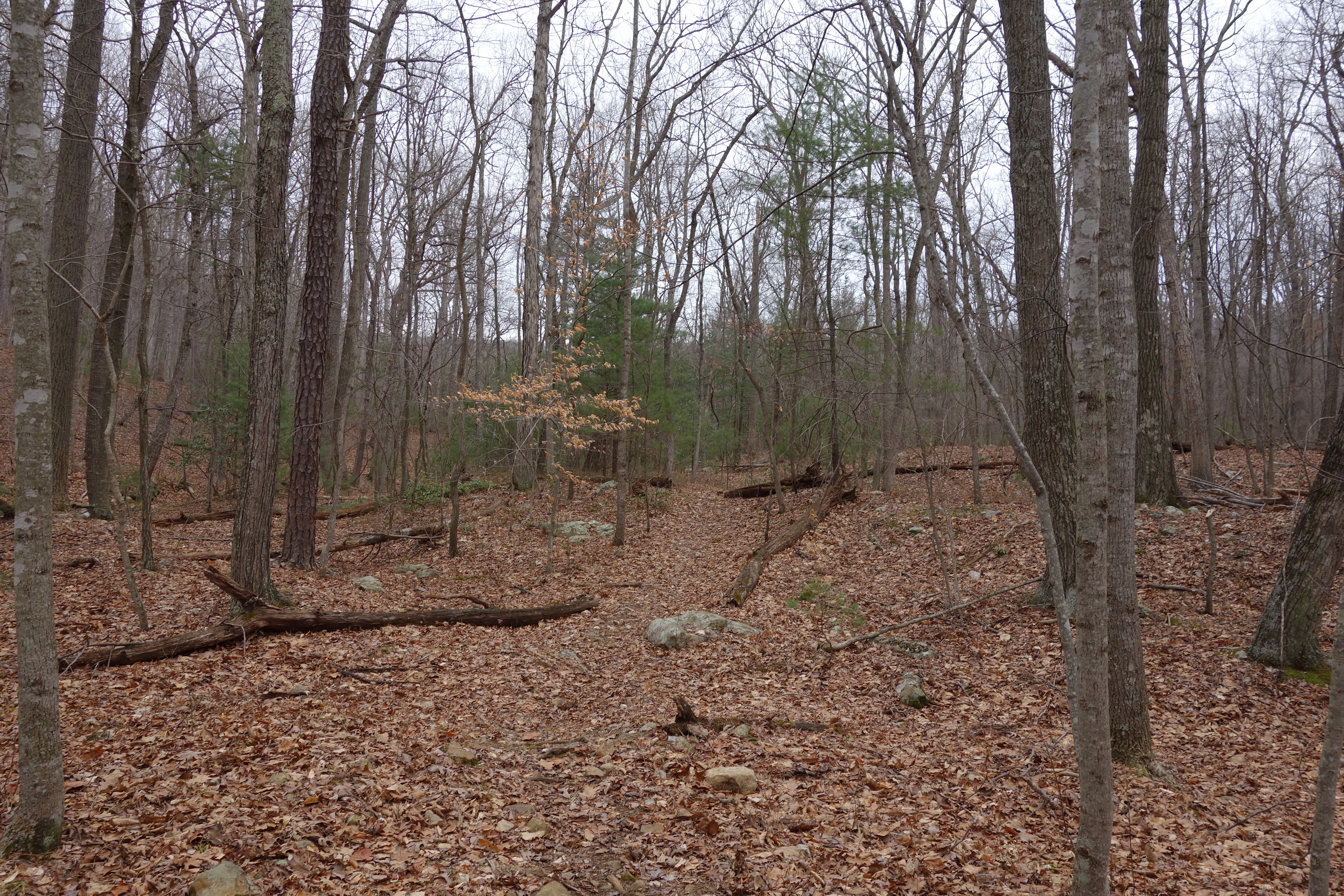
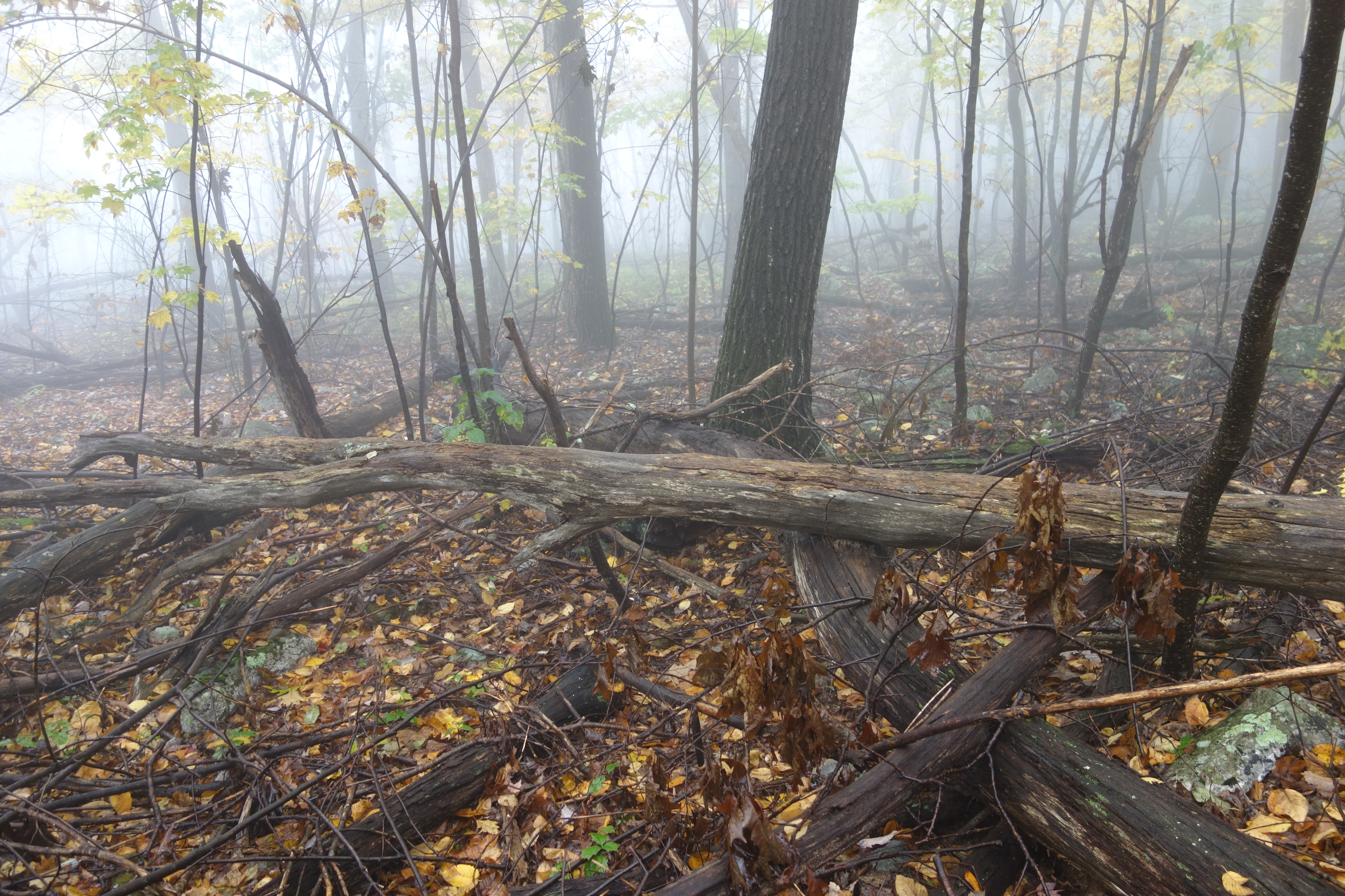
DSC01002 008 Blowdown

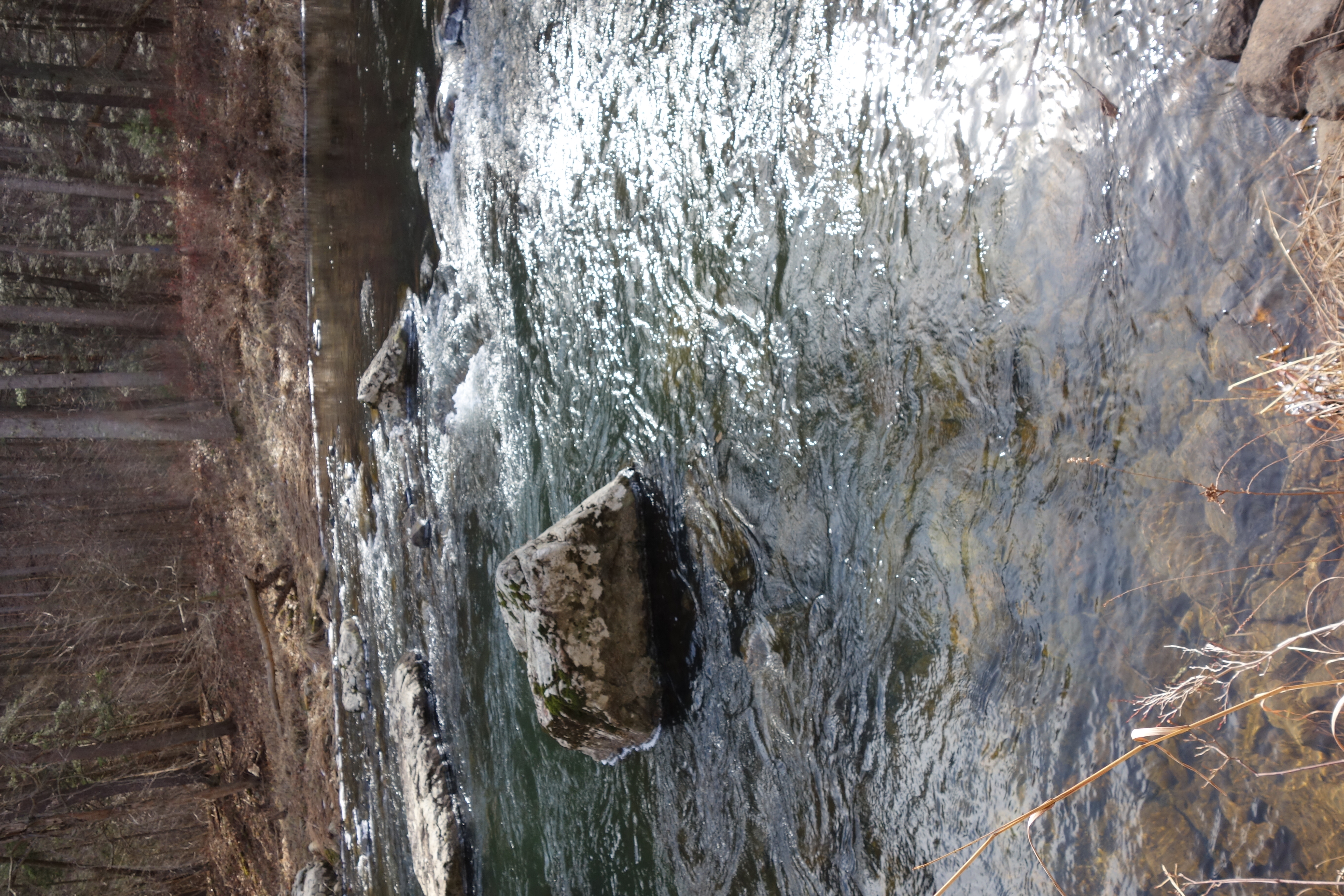
DSC01039 008 Stream xing
DSC00587 135 TT jct Gander Rock Rd and Waites Run Rd

DSC00651 151 Gerhard Shelter Tr jct Spring Tr
DSC00604 140 TT BD
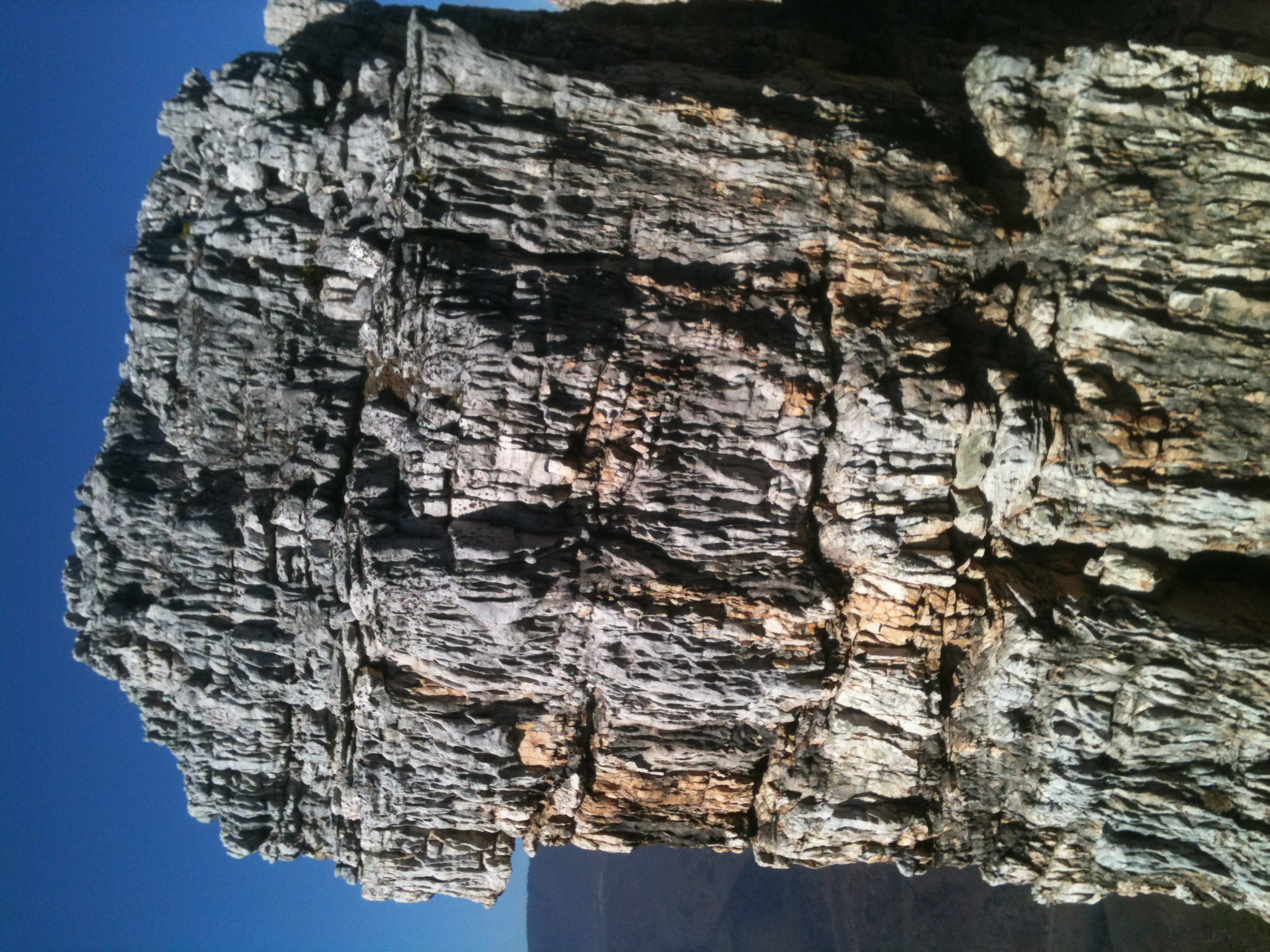
The Chimney itself
DSC01055 012 Stream xing
DSC01049 010 Stream xing
DSC00966 003 Jct Squirrel Gap Tr Lost River
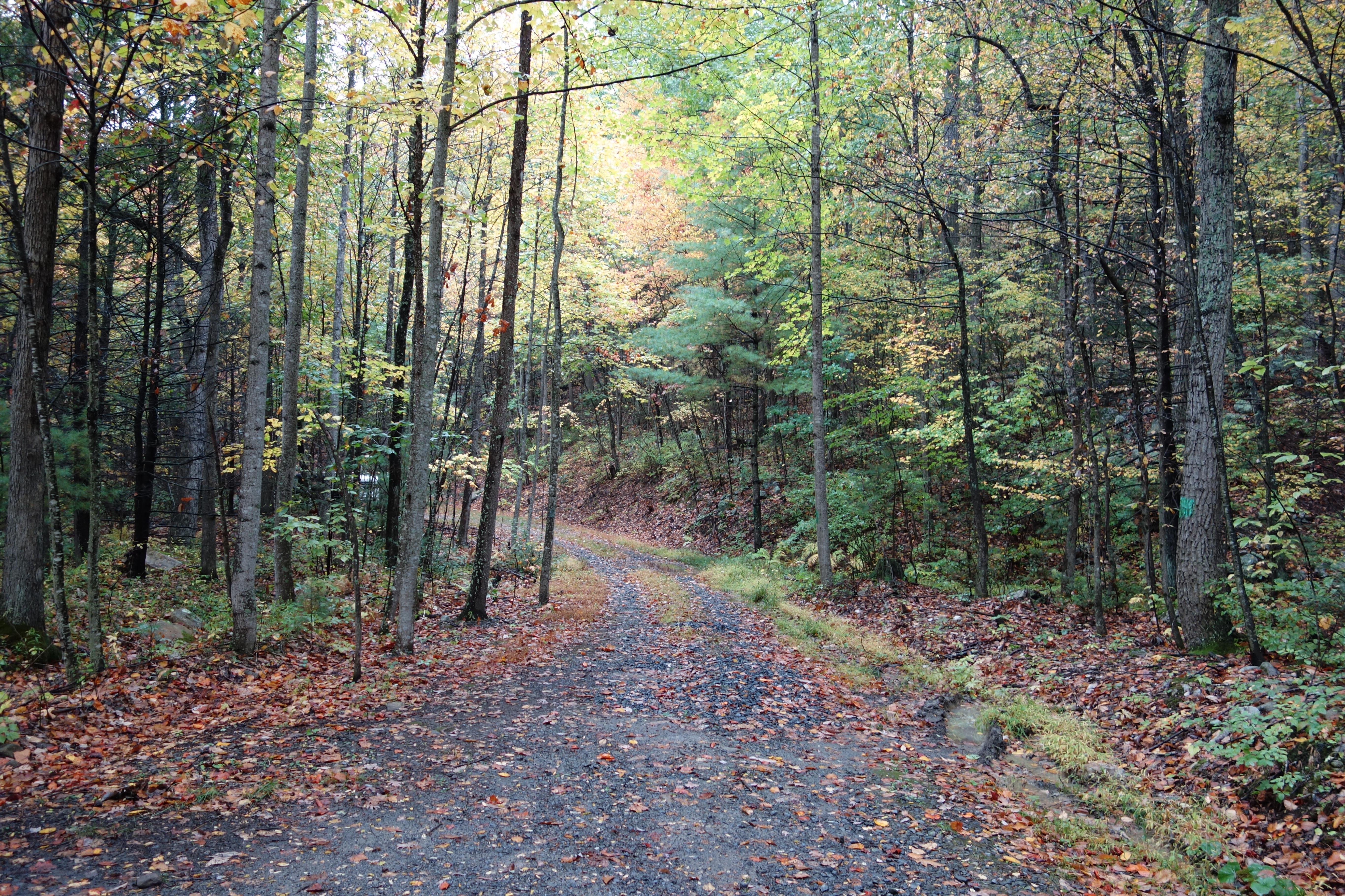
DSC00585 135 TT jct Gander Rock Rd and Waites Run Rd
DSC00615 143 TT BD

DSC01041 008 Stream xing
DSC00654 151 Gerhard Shelter Tr jct Spring Tr

DSC01437 028 Jct Squirrel Gap Tr and Lost River east bank
Topographic Map of Peaks View Drive, Peaks View Dr, Capon, WV, USA
Find elevation by address:

Places near Peaks View Drive, Peaks View Dr, Capon, WV, USA:
Baker Mountain Drive
Lehew, WV, USA
553 Warden Lake A B Dr
902 Warden Hollow West Rd
Journeys End Ln, Wardensville, WV, USA
Delray
Yellow Spring
Capon River Rd, High View, WV, USA
Capon
Capon River Rd, High View, WV, USA
South Lick Run Road
South Lick Run Road
Deep Woods Run
Unnamed Road
15 W Main St
70 W Main St
70 W Main St
70 W Main St
Wardensville
10000 Wv-29
Recent Searches:
- Elevation of Corso Fratelli Cairoli, 35, Macerata MC, Italy
- Elevation of Tallevast Rd, Sarasota, FL, USA
- Elevation of 4th St E, Sonoma, CA, USA
- Elevation of Black Hollow Rd, Pennsdale, PA, USA
- Elevation of Oakland Ave, Williamsport, PA, USA
- Elevation of Pedrógão Grande, Portugal
- Elevation of Klee Dr, Martinsburg, WV, USA
- Elevation of Via Roma, Pieranica CR, Italy
- Elevation of Tavkvetili Mountain, Georgia
- Elevation of Hartfords Bluff Cir, Mt Pleasant, SC, USA