Elevation of Patchwork Ln, Georgetown, CA, USA
Location: United States > California > El Dorado County > Georgetown >
Longitude: -120.74009
Latitude: 38.9361951
Elevation: 1030m / 3379feet
Barometric Pressure: 90KPa
Elevation Map:
Satellite Map:
Related Photos:
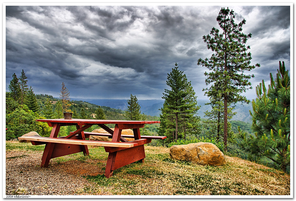
Before the Rain

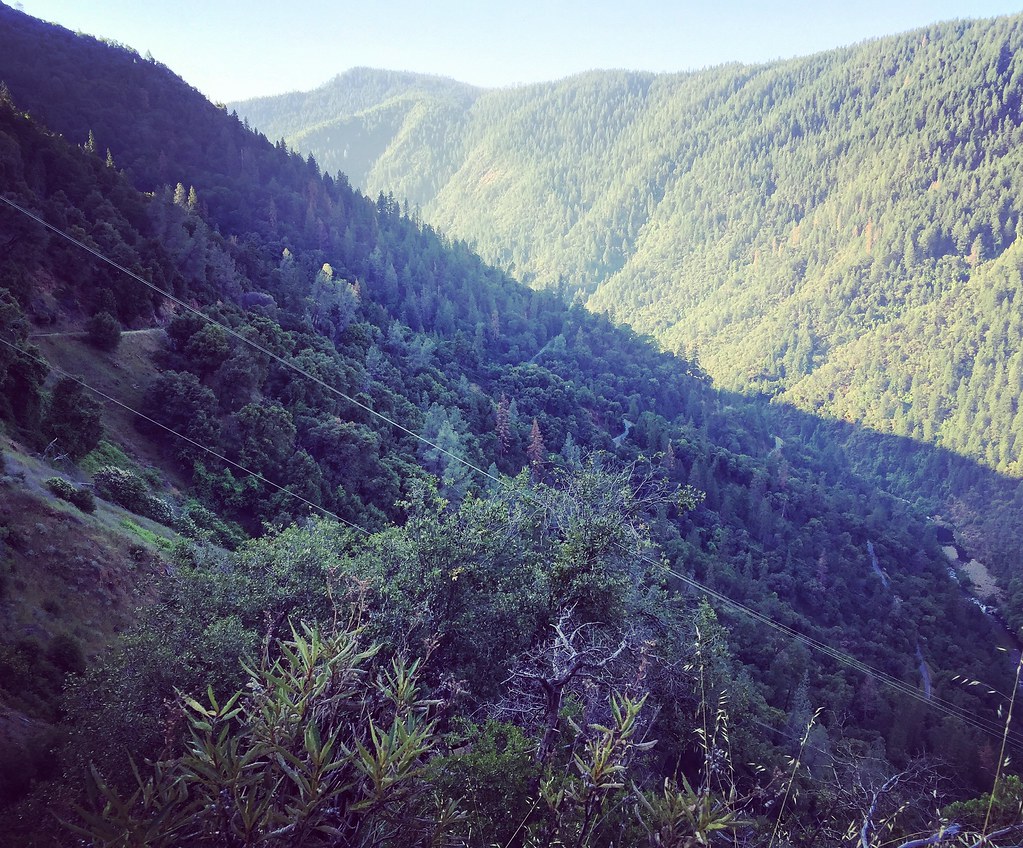
The American River Gorge – A Semi-Grand Canyon

Black-headed Grosbeak
View from almost the top of Ralston Ridge
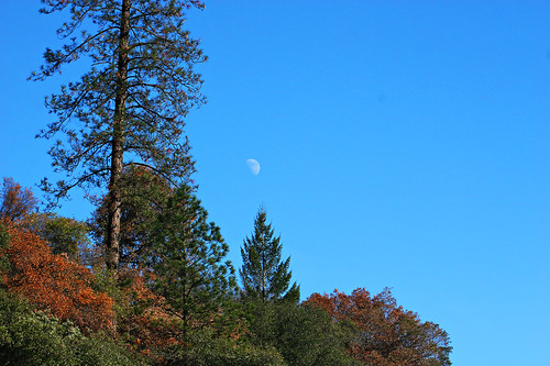
Midday Moon 1786

Thunderclouds Over the Crest
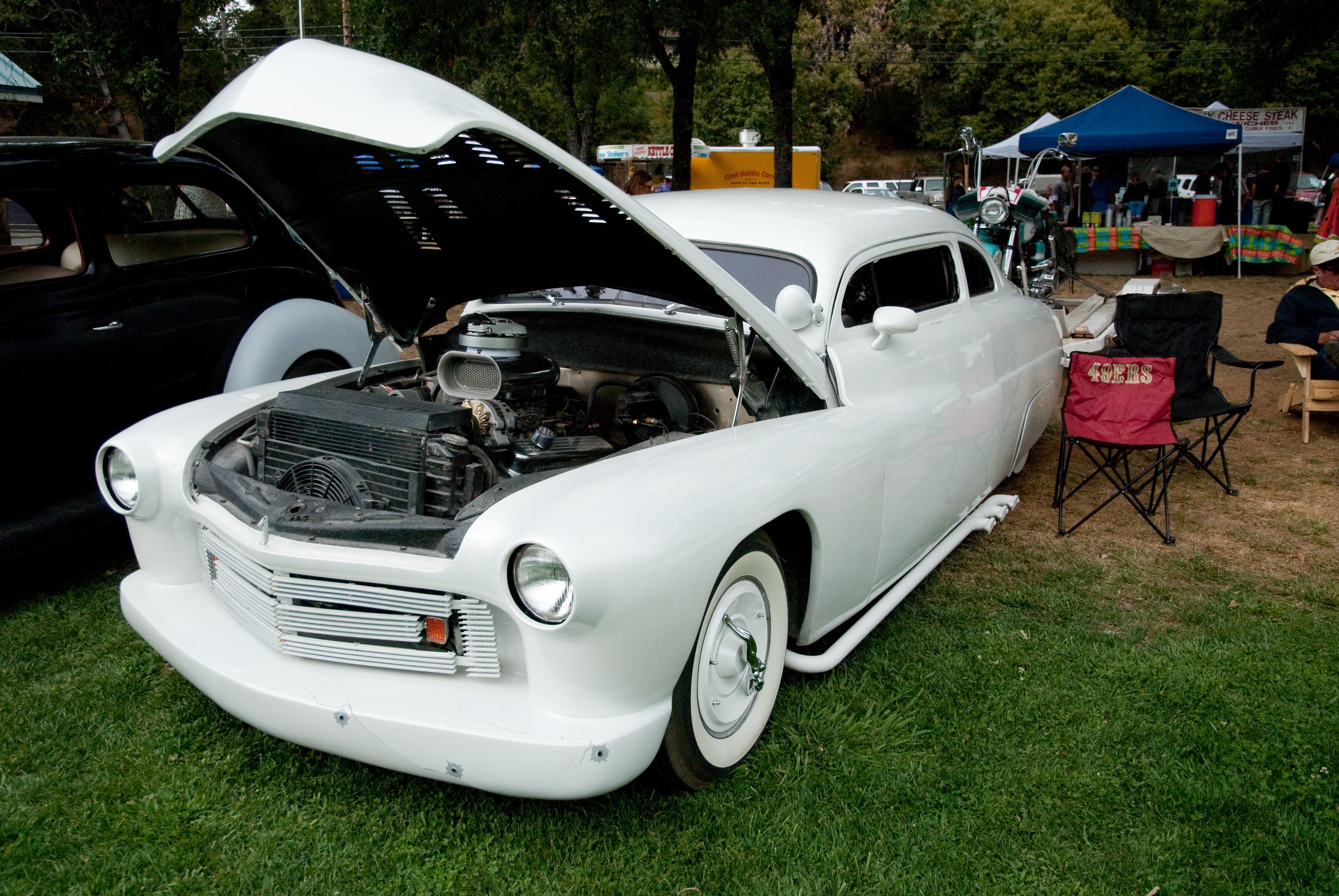
GVCarShow-6

View from almost the top of Ralston Ridge
In Bear Country

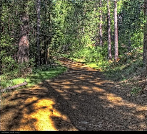
American River Canyon
#rybridge wedding. Nice location.
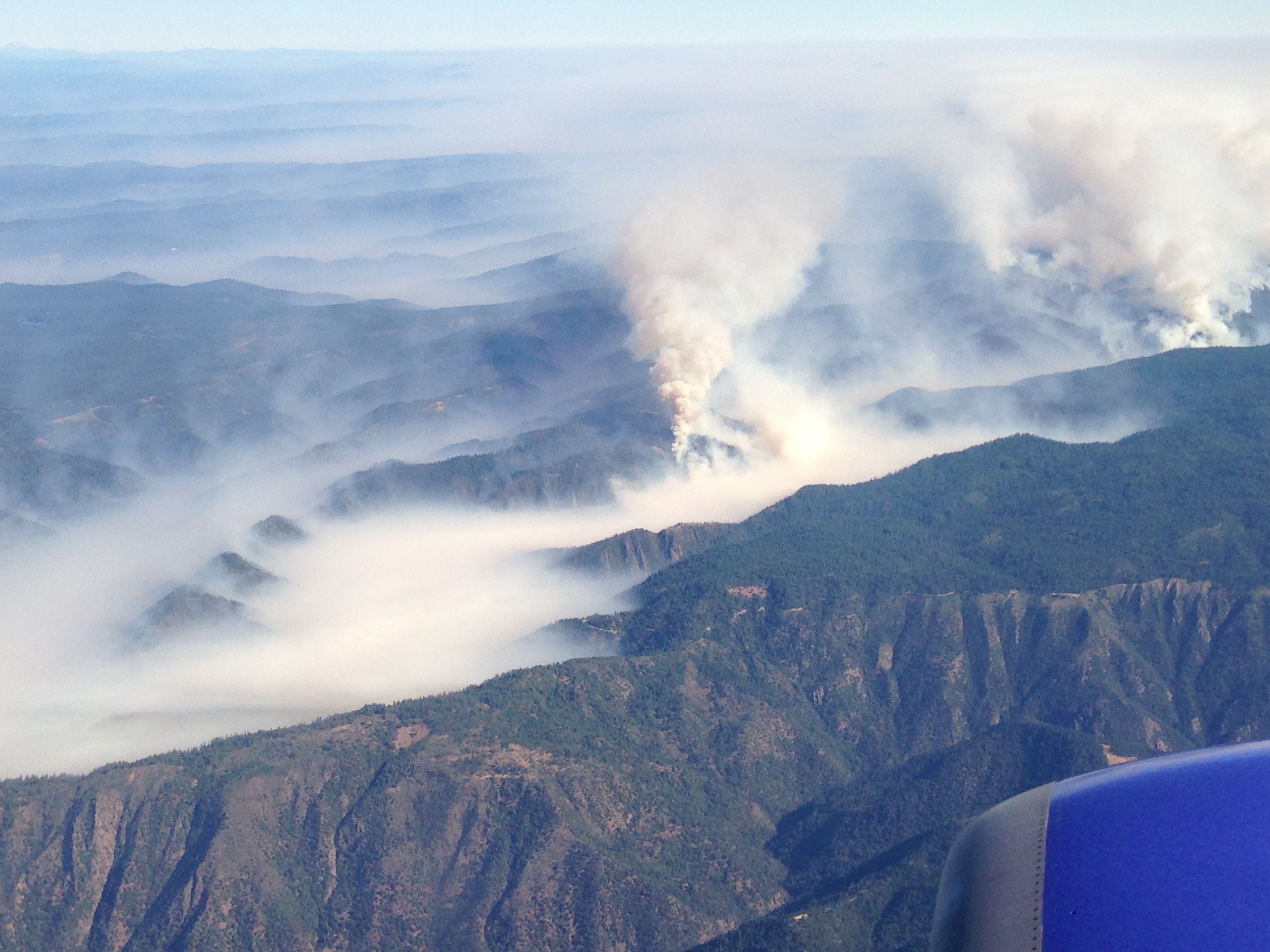
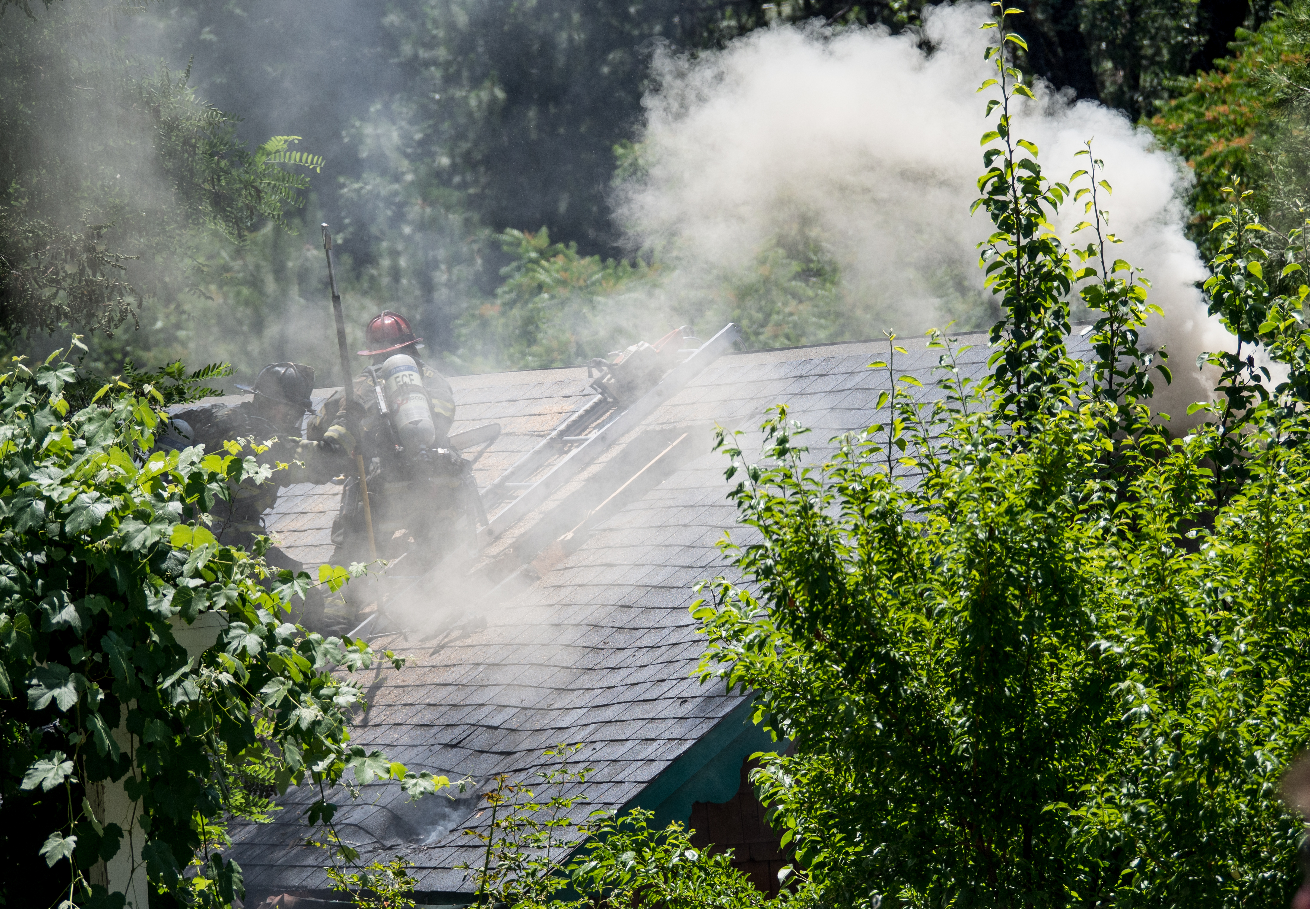
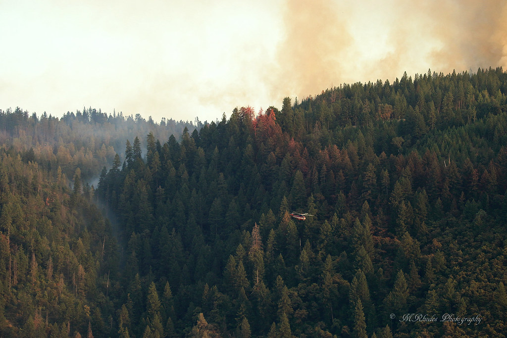
Southwest Airlines' flight from Las Vegas today flew over the American Fire. Image: Bill Roush
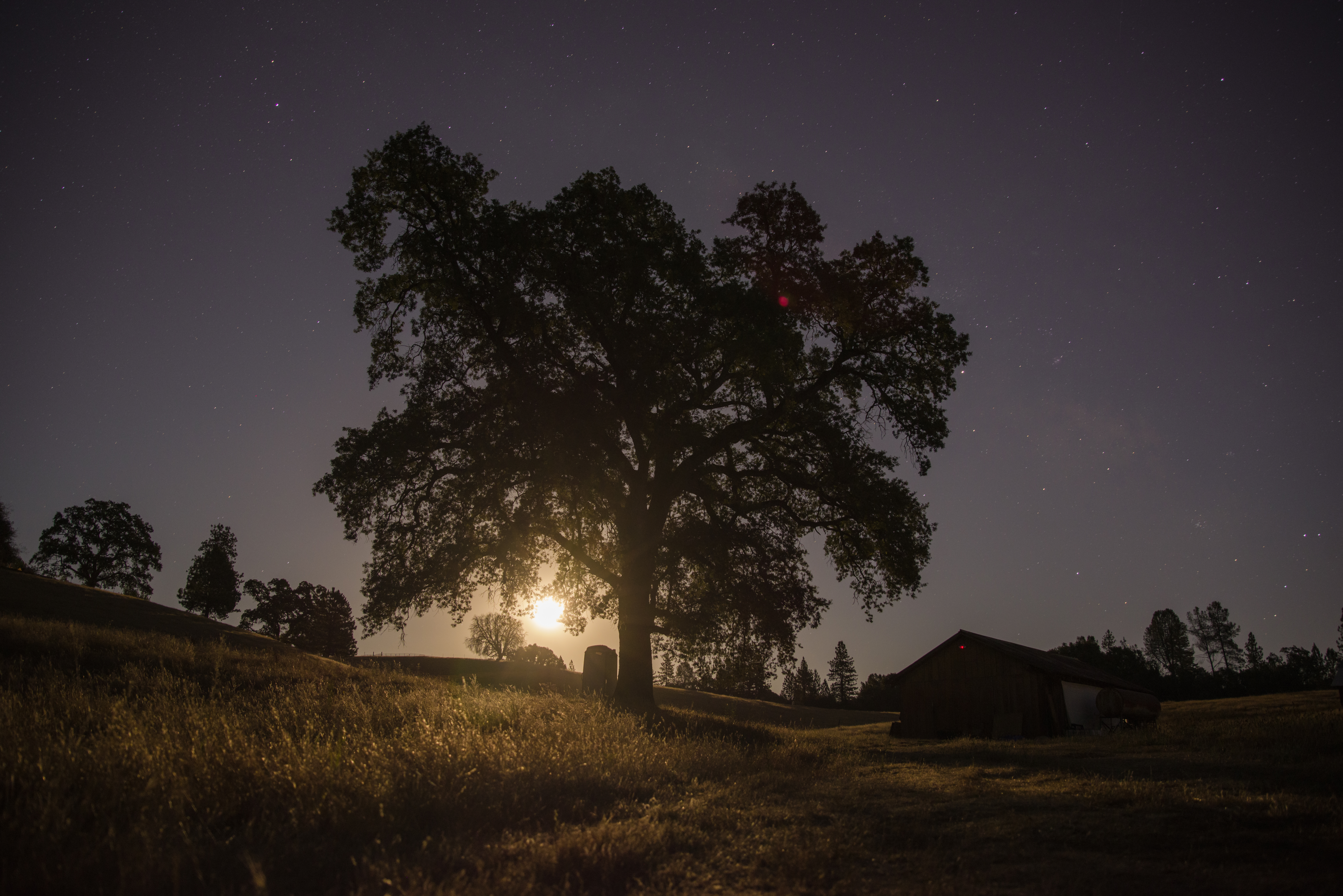
Midnight Moonrise
Sunken ice pond

Rock Creek, El Dorado Co

Rafting Tunnel Chute
Rock Creek, El Dorado Co

American River Canyon at Oxbow Reservoir

Stillness, Reflected
Oxbow Reservoir
Southwest Airlines' flight from Las Vegas today flew over the American Fire. Image: Bill Roush
untitled047-27.jpg

IMG_4486.jpg
Returning for one more
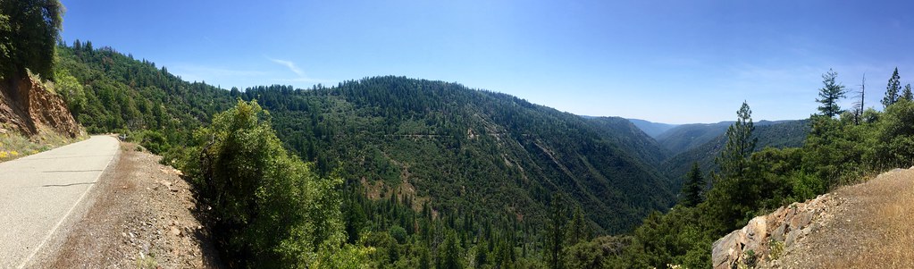
Mosquito Ridge Road Pano
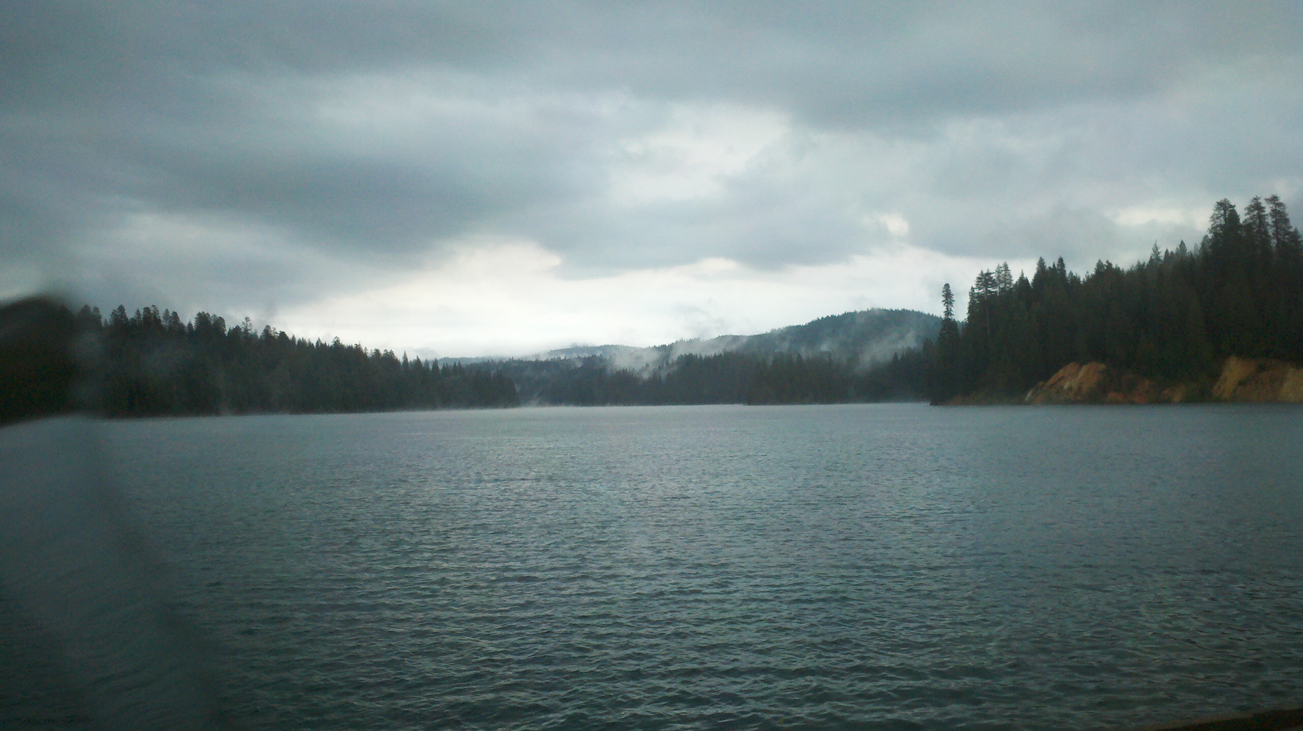
Lake Edson
Topographic Map of Patchwork Ln, Georgetown, CA, USA
Find elevation by address:

Places near Patchwork Ln, Georgetown, CA, USA:
9092 Wentworth Springs Rd
1200 Rock Creek Rd
8961 Wentworth Springs Rd
Wentworth Springs Rd, Georgetown, CA, USA
8709 Wentworth Springs Rd
3300 Rock Creek Rd
2548 Tinsel Trail
8533 Wentworth Springs Rd
9635 Wentworth Springs Rd
5181 Volcanoville Rd
9054 Country Rd
Shotgun Lane
8251 Balderston Rd
7120 Chestnut Hill Rd
4731 Volcanoville Rd
10431 Wentworth Springs Rd
Quintette
Carey Ave, Georgetown, CA, USA
Wentworth Springs Rd, Georgetown, CA, USA
1395 Paymaster Mine Rd
Recent Searches:
- Elevation of Corso Fratelli Cairoli, 35, Macerata MC, Italy
- Elevation of Tallevast Rd, Sarasota, FL, USA
- Elevation of 4th St E, Sonoma, CA, USA
- Elevation of Black Hollow Rd, Pennsdale, PA, USA
- Elevation of Oakland Ave, Williamsport, PA, USA
- Elevation of Pedrógão Grande, Portugal
- Elevation of Klee Dr, Martinsburg, WV, USA
- Elevation of Via Roma, Pieranica CR, Italy
- Elevation of Tavkvetili Mountain, Georgia
- Elevation of Hartfords Bluff Cir, Mt Pleasant, SC, USA