Elevation of Carey Ave, Georgetown, CA, USA

Location: United States > California > El Dorado County > Georgetown >

Longitude: -120.68597

Latitude: 38.915042

Elevation: 1262m / 4140feet

Barometric Pressure: 87KPa

Elevation Map:

elevation map of Carey Ave, Georgetown, CA, USA

Satellite Map:

Satellite map of Carey Ave, Georgetown, CA, USA

Related Photos:

california road ca mountains sports sport race forest landscape gold view marathon grandcanyon extreme topv999 deep running run canyon racing international lottery rush vista runners gorge athlete sierranevada topv9999 runner ultra forests 28135mm entry vistapoint goldrush northfork placercounty americanriver goldcountry wser ws sierranevadamountains ultramarathon ultrarunning middlefork landscapephotography 1849 westernstatestrail ws100 westernstates landscapephotos mosquitoridgeroad northforkofthemiddlefork landscapephoto americanrivercanyon westernstates100mileendurancerun mosquitoridge foresthilldivide northforkofthemiddleforkoftheamericanriver
The American River Gorge – A Semi-Grand Canyon
View from almost the top of Ralston Ridge
california ca rock wall landscape geotagged gold photo interestingness funny photos topv999 humor pic explore walls funnypics topv9999 28135mm placercounty funnyphotos goldmine funnyphoto landscapephotography funnypic top500 tahoenationalforest interestingness401 i500 landscapephotos mosquitoridgeroad handstacked funnyfeature
Hand Stacked Rock Wall – Can You Find the Funny Feature?
bird grosbeak placercounty sierrafoothills blackheadedgrosbeak pheucticusmelanocephalus perchingbird femaleblackheadedgrosbeak
Black-headed Grosbeak
california trees northerncalifornia clouds edited pines sierranevada pinetrees thunderclouds oaktrees thunderstorms ponderosapines 25july2013
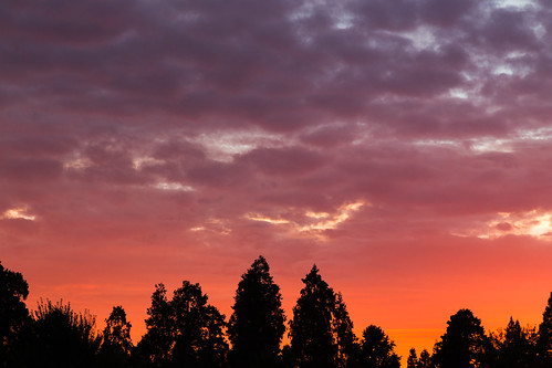
Thunderclouds Over the Crest
camp nature square vineyard kitsch disney squareformat campout bearcreek club33 gardenvalley thomaskincade iphoneography instagramapp uploaded:by=instagram romevalleyvineyards davidfatemehs
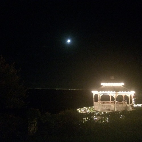
This place is a Thomas Kincaid Disney wedging cake vineyard with music coming out of rocks and plastic flowers galore with awesome views and vineyard
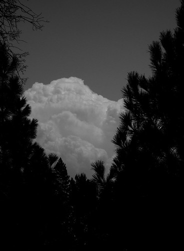
california northerncalifornia dark edited pines thunderstorm grayscale sierranevada pinetrees thunderclouds ponderosapines 25july2013
Dark Thunderclouds
View from almost the top of Ralston Ridge
california summer canon fire july eldorado 7d firefighting tamron placer neu wildfire blm americanriver 2016 usfs eldoradonationalforest enf aeu calfire canon7dmarkii tamron150600mm trailheadfire
The view from Foresthill
View from almost the top of Ralston Ridge
california blue sky moon mountain tree 20d canon landscape daylight photo sierra photograph half sacramento noon midday placercounty casch canon2880f284l familygetty
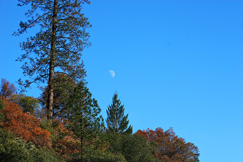
Midday Moon 1786
california flower reflection green nature water rural canon landscape waterfall memorial softwater t1i matthewreichel
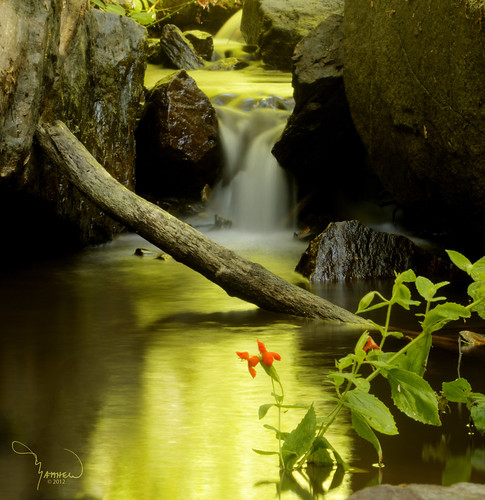
Iowa Creek
In Bear Country
california unitedstates foresthill
IMG_4505.jpg
california unitedstates foresthill
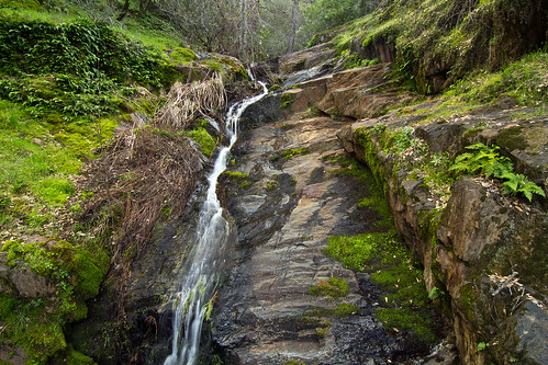
Falls on Big Mosquito Creek
square squareformat hefe iphoneography instagramapp uploaded:by=instagram foursquare:venue=4dbb413a1e72b351ca94bd44
#rybridge wedding. Nice location.
whitewater rafting alloutdoors middleforkamerican
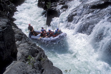
Rafting Tunnel Chute
california unitedstates
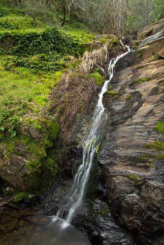
Falls on Big Mosquito Creek
_8140138.NEF
california ca blue wild snow cold green nature water river landscape geotagged landscapes interestingness movement scenery energy colorful chaos natural nevada topv999 tranquility bubbles spray sierra rapids explore whirlpool rivers waters highenergy melt icy eddy frigid cauldron rapid mountians 28135mm torrent boiling churn turbulence chaotic boil waterscape placercounty americanriver scour eddies splashing boils churning middlefork landscapephotography tumultuous top500 whirlpools flickrexplore tumult interestingness153 i500 landscapephotos landscapephoto
The Cauldron of Frigid Waters
wildfire tahoenationalforest americanfire
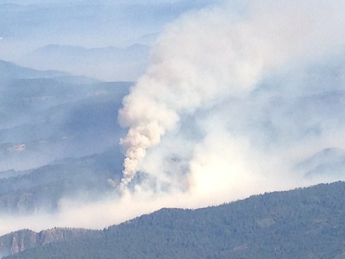
Southwest Airlines' flight from Las Vegas today flew over the American Fire. Image: Bill Roush
0012580-R1-010-3A
wildfire tahoenationalforest americanfire
Southwest Airlines' flight from Las Vegas today flew over the American Fire. Image: Bill Roush
petrescue georgetownfire lowermainfire
untitled047-27.jpg
0012580-R1-024-10A
eldorado sierra sierranevada rockcreek eldoradonationalforest enf
Rock Creek, El Dorado Co
california ca summer mountain lake fish mountains green nature water river season landscape geotagged boats landscapes boat high still fishing scenery seasons natural dam topv999 lakes deep tranquility canyon rivers serenity boating waters troll serene trout sierranevada tranquil 28135mm steep placercounty americanriver sierranevadamountains middlefork trolling landscapephotography landscapephotos oxbowreservoir landscapephoto
Lone Boater on Oxbow Reservoir
justinsfpics
Lake Edson
nevada eldorado sierra rockcreek eldoradonationalforest enf
Rock Creek, El Dorado Co