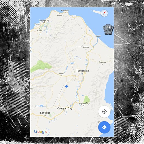
Elevation of Paracelis, Mountain Province, Philippines
Location: Philippines > Cordillera Administrative Region > Mountain Province >
Longitude: 121.491318
Latitude: 17.1562214
Elevation: 300m / 984feet
Barometric Pressure: 98KPa
Related Photos:
Topographic Map of Paracelis, Mountain Province, Philippines
Find elevation by address:

Places in Paracelis, Mountain Province, Philippines:
Places near Paracelis, Mountain Province, Philippines:
Simmacbot Mountain Province
Buringal
Munoz East
Roxas Freedom Park
Roxas
Alfonso Lista
Poblacion
Dpwh-mpsdeo
Natonin
Aurora
Kalabaza-macatal Road
Bulanao
Kalabaza Elem. School
Alfonso Lista Police Station
Kalinga State University
Aguinaldo Municipal Police Station
Aguinaldo
Tabuk
Tanudan
Mangali Centro Elementary School
Recent Searches:
- Elevation of Corso Fratelli Cairoli, 35, Macerata MC, Italy
- Elevation of Tallevast Rd, Sarasota, FL, USA
- Elevation of 4th St E, Sonoma, CA, USA
- Elevation of Black Hollow Rd, Pennsdale, PA, USA
- Elevation of Oakland Ave, Williamsport, PA, USA
- Elevation of Pedrógão Grande, Portugal
- Elevation of Klee Dr, Martinsburg, WV, USA
- Elevation of Via Roma, Pieranica CR, Italy
- Elevation of Tavkvetili Mountain, Georgia
- Elevation of Hartfords Bluff Cir, Mt Pleasant, SC, USA


