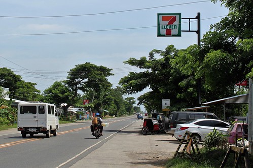
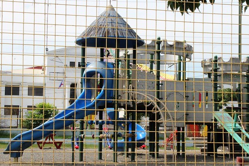
Elevation of Buringal, Paracelis, Mountain Province, Philippines
Location: Philippines > Cordillera Administrative Region > Mountain Province > Paracelis >
Longitude: 121.514161
Latitude: 17.2151899
Elevation: 230m / 755feet
Barometric Pressure: 99KPa
Related Photos:
Topographic Map of Buringal, Paracelis, Mountain Province, Philippines
Find elevation by address:

Places near Buringal, Paracelis, Mountain Province, Philippines:
Paracelis
Simmacbot Mountain Province
Munoz East
Roxas Freedom Park
Roxas
Bulanao
Kalinga State University
Tabuk
Nambaran
Alfonso Lista
Poblacion
Dpwh-mpsdeo
To Ipil
Natonin
Bado Dangwa
Aurora
Kalabaza-macatal Road
Kalinga Apayao Provincial Cooperative Union Incorporated
Kalabaza Elem. School
Amlao
Recent Searches:
- Elevation of Corso Fratelli Cairoli, 35, Macerata MC, Italy
- Elevation of Tallevast Rd, Sarasota, FL, USA
- Elevation of 4th St E, Sonoma, CA, USA
- Elevation of Black Hollow Rd, Pennsdale, PA, USA
- Elevation of Oakland Ave, Williamsport, PA, USA
- Elevation of Pedrógão Grande, Portugal
- Elevation of Klee Dr, Martinsburg, WV, USA
- Elevation of Via Roma, Pieranica CR, Italy
- Elevation of Tavkvetili Mountain, Georgia
- Elevation of Hartfords Bluff Cir, Mt Pleasant, SC, USA


