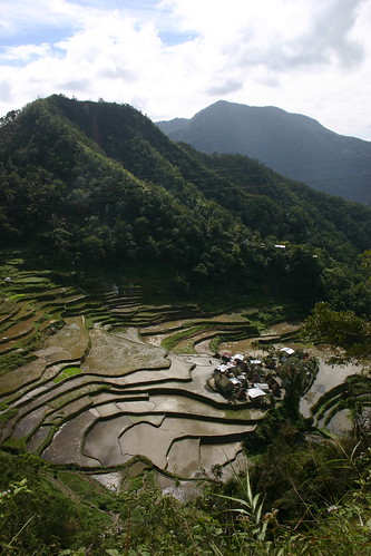
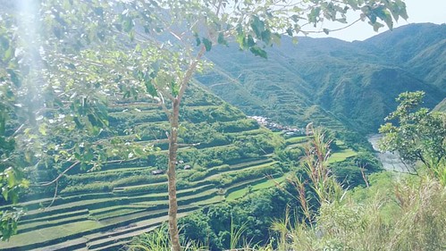
Elevation map of Cordillera Administrative Region, Philippines
Location: Philippines >
Longitude: 121.171885
Latitude: 17.3512542
Elevation: 922m / 3025feet
Barometric Pressure: 91KPa
Related Photos:
Topographic Map of Cordillera Administrative Region, Philippines
Find elevation by address:

Places in Cordillera Administrative Region, Philippines:
Places near Cordillera Administrative Region, Philippines:
Lubuagan Municipal Hall
Mabilong Primary School
Agagama Elementary School
Mabongtot Primary School
Cagaluan
Dangtalan
Mallango
Guina-ang (pob.)
Lower Mangali
Upper Taloctoc
Gaang Elementary School
Lower Taloctoc
Tinglayan Municipal Hall
Mangali Centro Elementary School
Tanudan
Ngibat
Tulgao Proper
Tinglayan
Butbut Proper
Buscalan Proper
Recent Searches:
- Elevation of Corso Fratelli Cairoli, 35, Macerata MC, Italy
- Elevation of Tallevast Rd, Sarasota, FL, USA
- Elevation of 4th St E, Sonoma, CA, USA
- Elevation of Black Hollow Rd, Pennsdale, PA, USA
- Elevation of Oakland Ave, Williamsport, PA, USA
- Elevation of Pedrógão Grande, Portugal
- Elevation of Klee Dr, Martinsburg, WV, USA
- Elevation of Via Roma, Pieranica CR, Italy
- Elevation of Tavkvetili Mountain, Georgia
- Elevation of Hartfords Bluff Cir, Mt Pleasant, SC, USA


