Elevation map of Kalinga, Philippines
Location: Philippines > Cordillera Administrative Region >
Longitude: 121.354163
Latitude: 17.4740422
Elevation: 373m / 1224feet
Barometric Pressure: 97KPa
Elevation Map:
Satellite Map:
Related Photos:

"Takipsilim sa Bundok Pulag" (Sunset at Mt. Pulag)
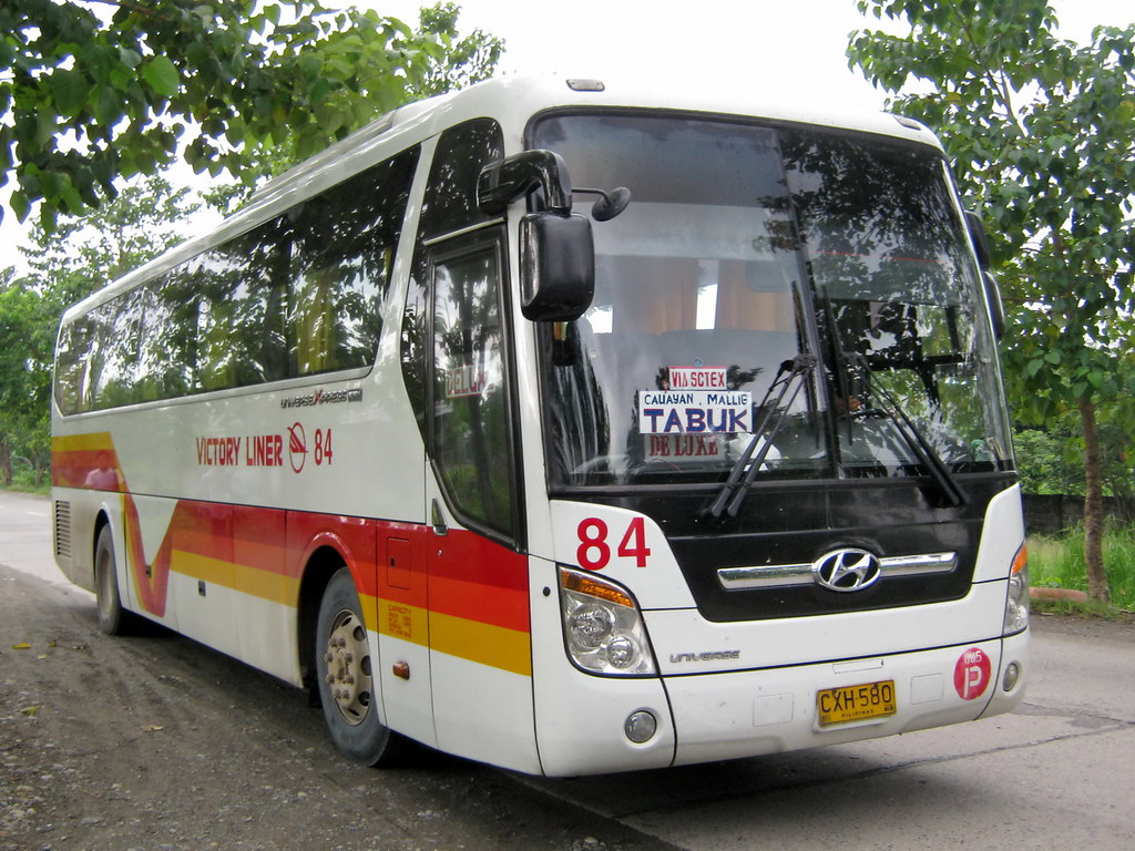
Victory Liner
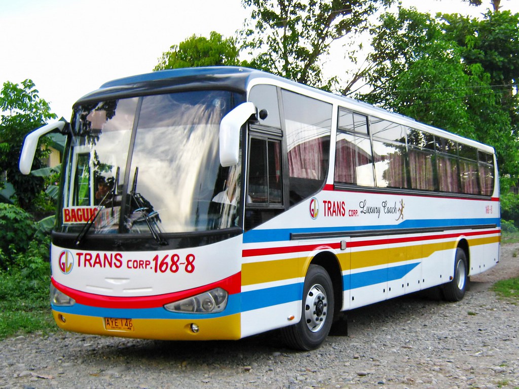
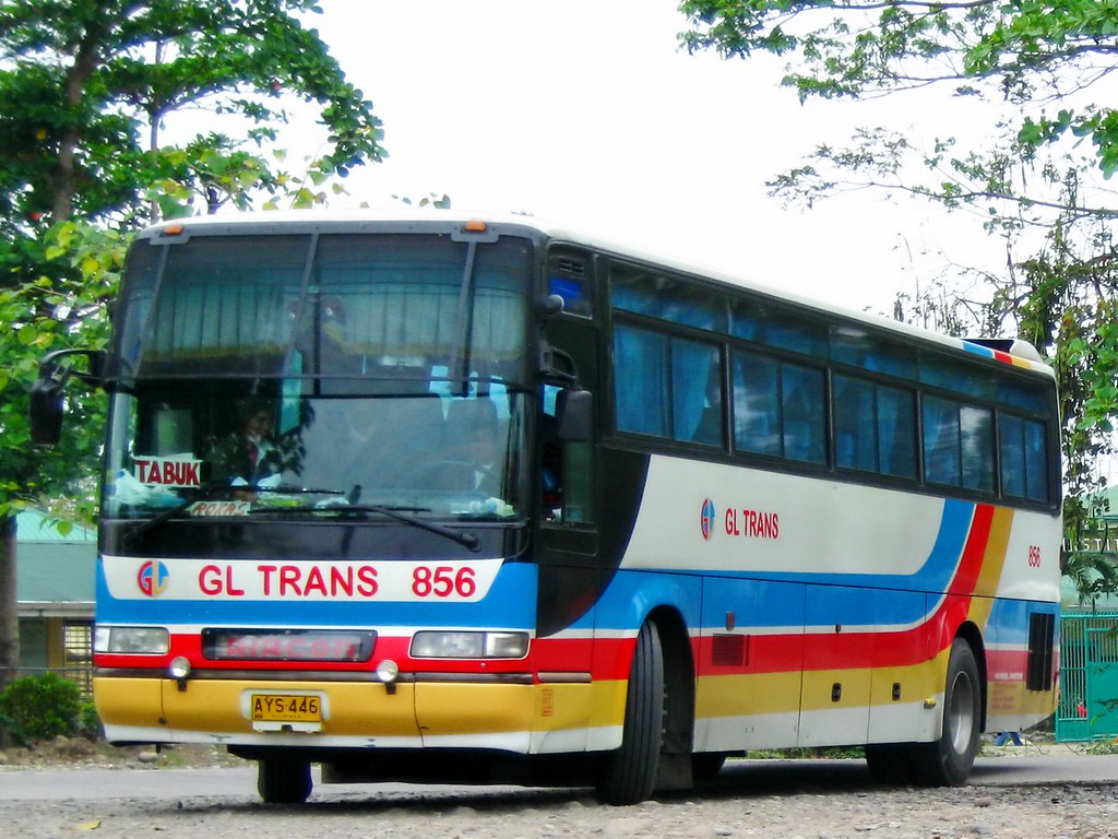
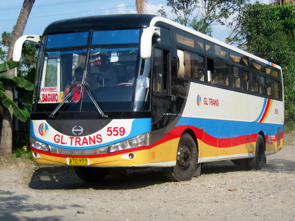
GL Trans
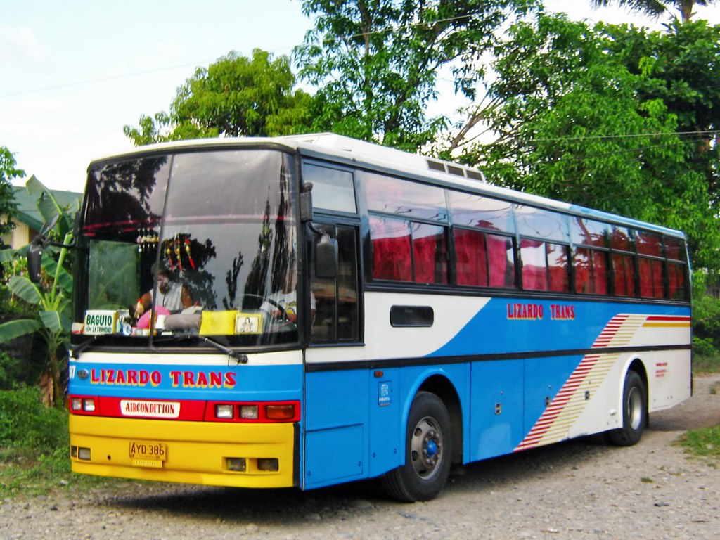
Lizardo Trans
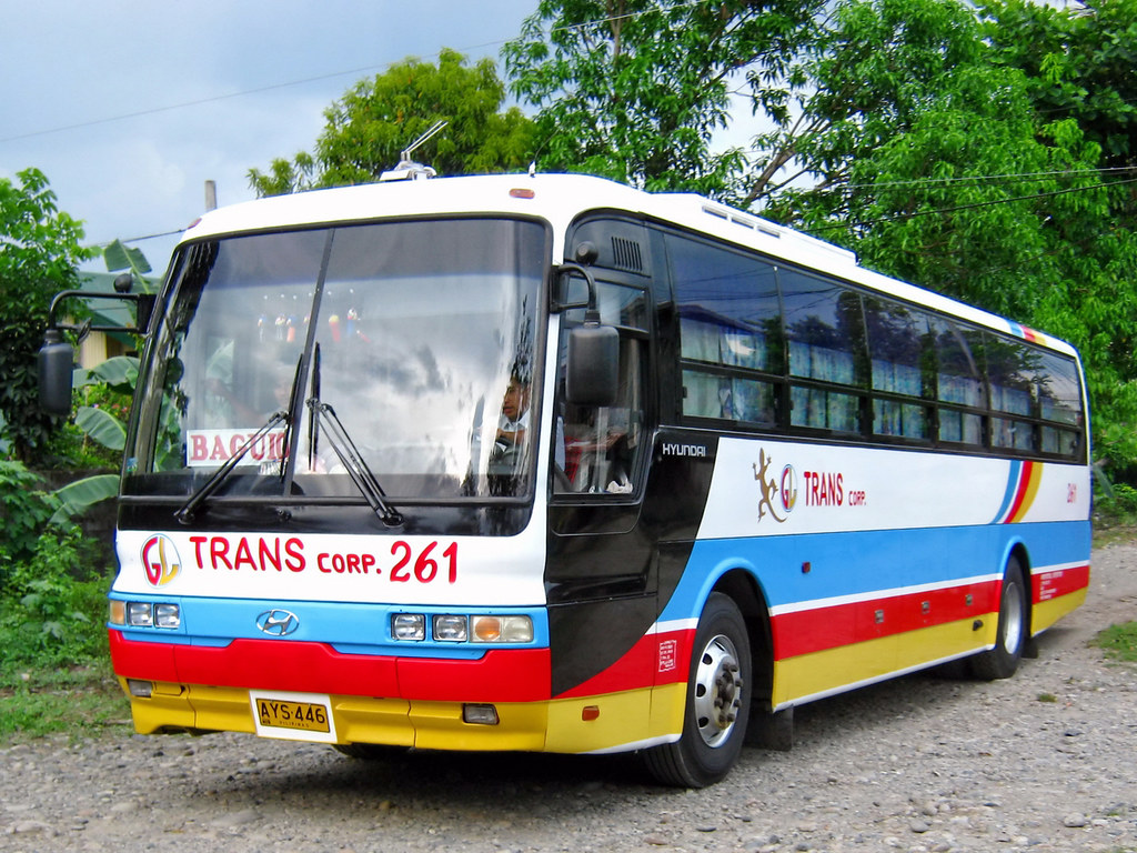
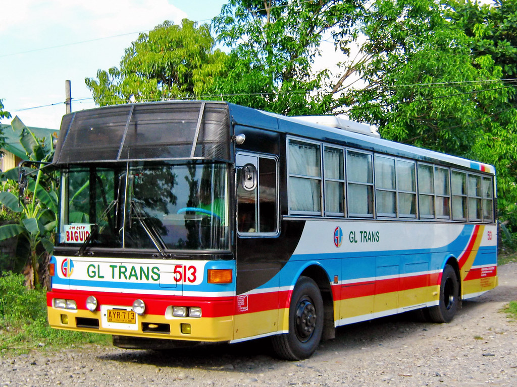
GL Trans
Victory Liner
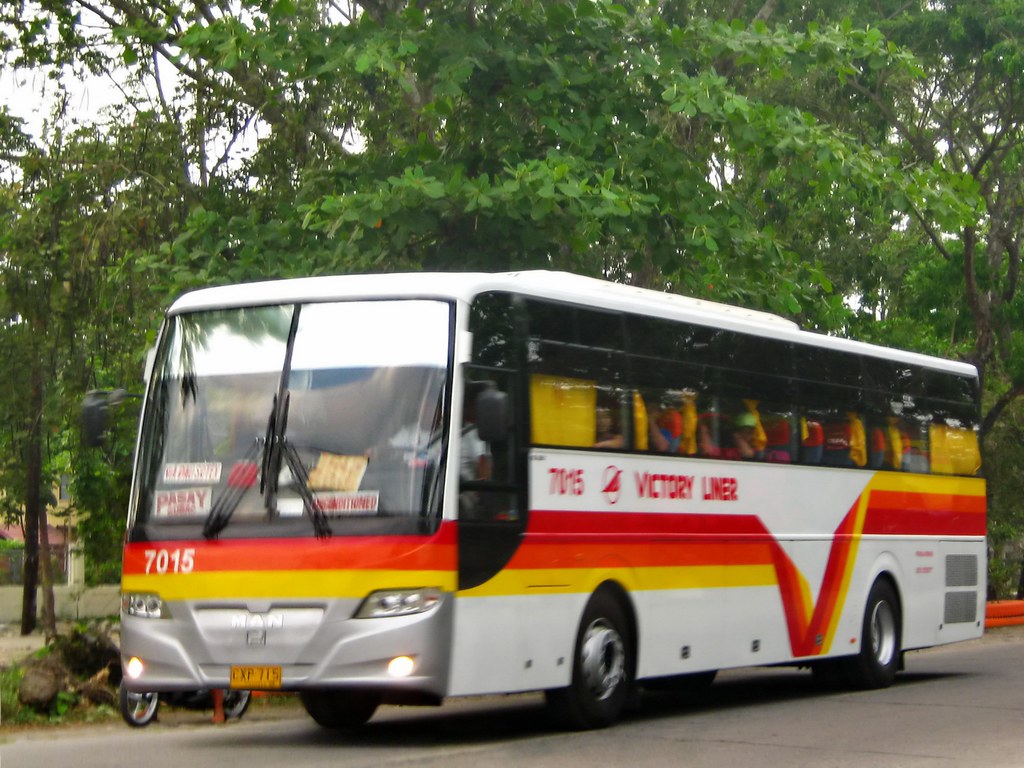
7015 Reporting for duty Sir!
GL Trans

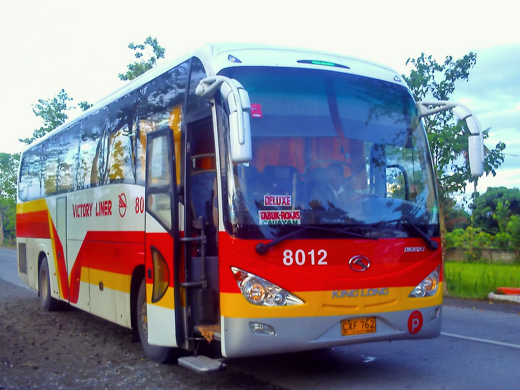
Victory Liner

Victory Liner
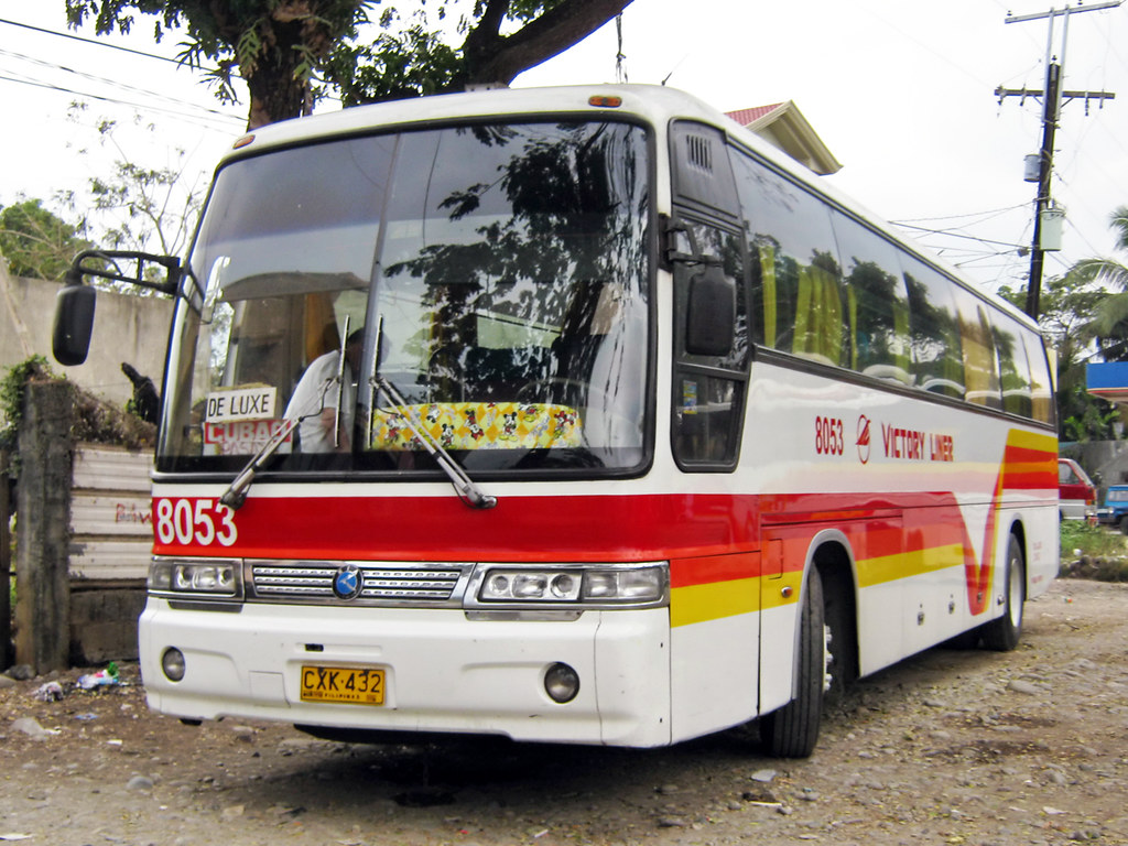
Victory Liner
GL Trans

FNT SORTIES in Kalinga with Cong Bambol Tolentino
St. Thomas Church, Tabuk, Kalinga. An Anglican church.

dx2011-09-24-015tipid
GL Trans
Topographic Map of Kalinga, Philippines
Find elevation by address:

Places in Kalinga, Philippines:
Pinukpuk
Tinglayan
Tabuk
Pasil
Lubuagan
Balbalan
Tanudan
Rizal
Lubuagan
Lower Mangali
Dupag
Guilayon
Lower Taloctoc
Mabaca
Balbalasang
Places near Kalinga, Philippines:
Guilayon
Nambucayan
Coddog Primary School
Allaguia Elementary School
Bayao
Bado Dangwa
Dugpa
Kalinga Apayao Provincial Cooperative Union Incorporated
Allaguia
Bagumbayan
Dao-angan
Amlao
Tabuk
Apatan
Ba-ay
Kalinga State University
To Ipil
Malaap Primary School
Taga (pob.)
Poswoy
Recent Searches:
- Elevation of Corso Fratelli Cairoli, 35, Macerata MC, Italy
- Elevation of Tallevast Rd, Sarasota, FL, USA
- Elevation of 4th St E, Sonoma, CA, USA
- Elevation of Black Hollow Rd, Pennsdale, PA, USA
- Elevation of Oakland Ave, Williamsport, PA, USA
- Elevation of Pedrógão Grande, Portugal
- Elevation of Klee Dr, Martinsburg, WV, USA
- Elevation of Via Roma, Pieranica CR, Italy
- Elevation of Tavkvetili Mountain, Georgia
- Elevation of Hartfords Bluff Cir, Mt Pleasant, SC, USA