Elevation of Panaga, Brunei
Location: Brunei >
Longitude: 114.292542
Latitude: 4.5996311
Elevation: 11m / 36feet
Barometric Pressure: 101KPa
Elevation Map:
Satellite Map:
Related Photos:
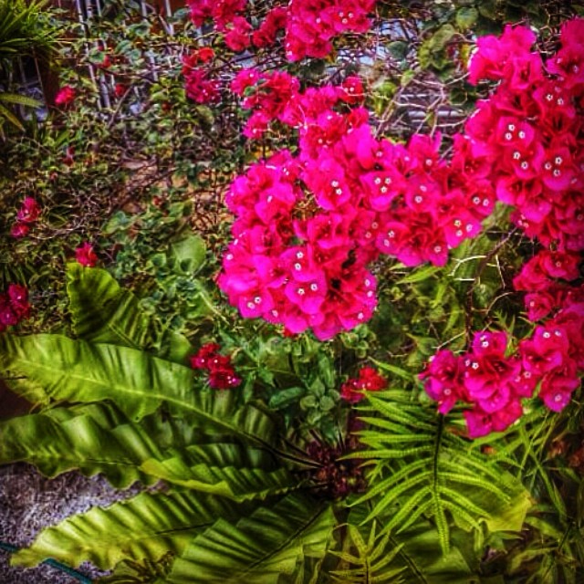
Bougainvillea bloom... ☺️with a little bit of green... A better & relaxing view at home ...sort of my own version of "back-from-work" therepy
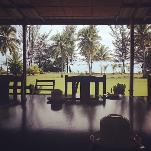
Breakfast setting with seaside view
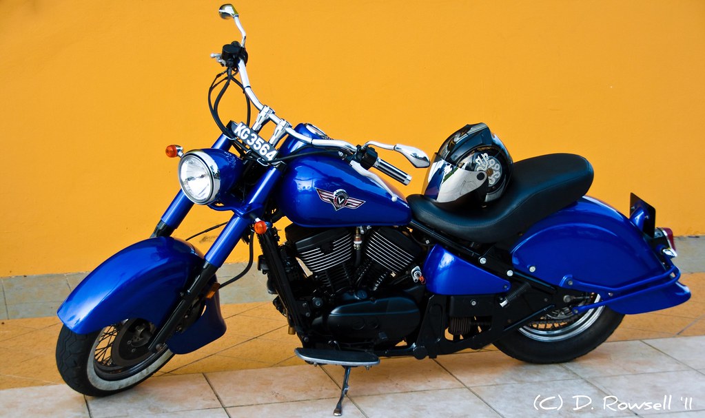
Vulcan Classic
Neils Island
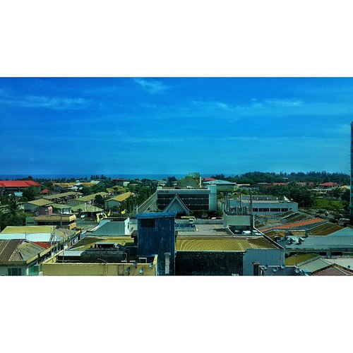
Sunset from 9 floors up in KB

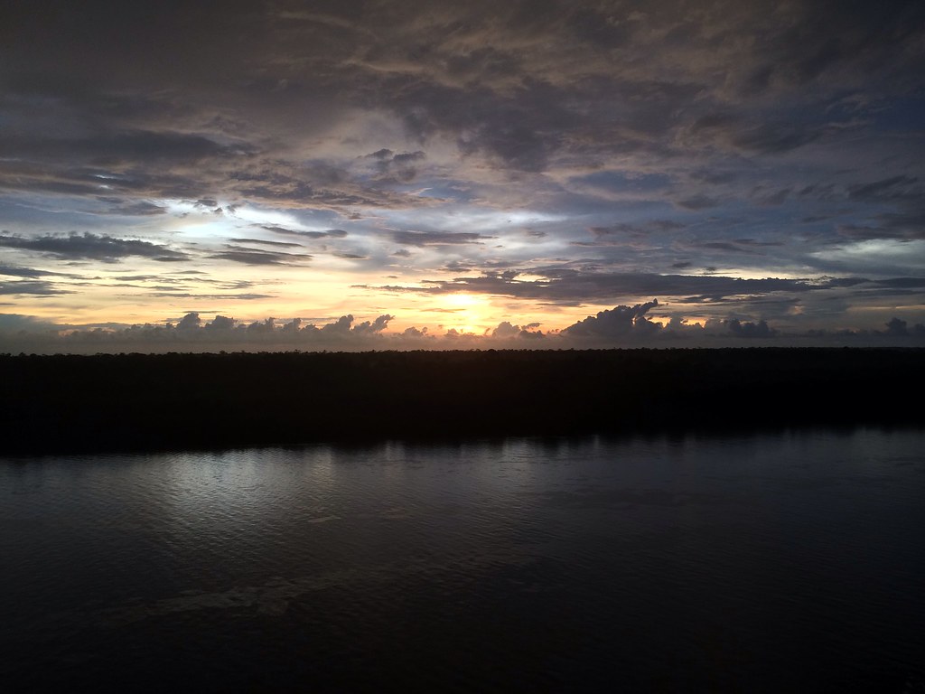
Sungai Teraban Sunset

Early Morning Sunrise @ Brunei

The lonely man
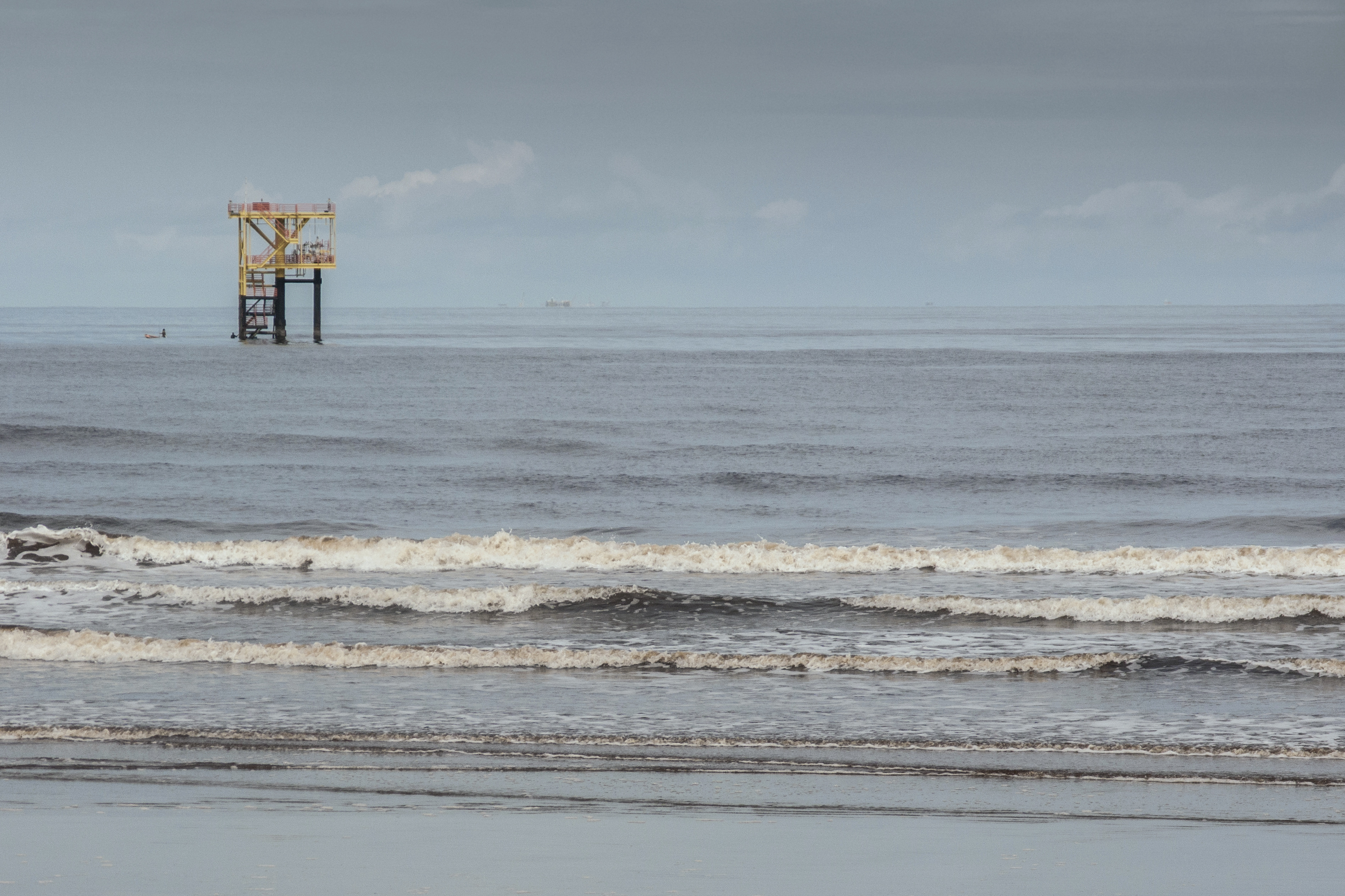
There is oil
Pemandangan di Kuala Belait, Brunei dari tingkat 6 Keoje Hotel. #scenenary #travel #outstation

In the woods.
Topographic Map of Panaga, Brunei
Find elevation by address:

Places near Panaga, Brunei:
Seria
Mumong Sports Complex
Kuala Belait
Sungai Tujoh
Bukit Sawat
Jalan Senandin
Miri
Kampung Penapar
Tutong District
Pekan Tutong
Tutong
Brunei
Penanjong
Kampong Keriam
Kampong Kupang
Jalan Ikas Bandung
Jalan Ikas Bandung
Sengkurong
Jerudong Park Playground
Selayun
Recent Searches:
- Elevation of Corso Fratelli Cairoli, 35, Macerata MC, Italy
- Elevation of Tallevast Rd, Sarasota, FL, USA
- Elevation of 4th St E, Sonoma, CA, USA
- Elevation of Black Hollow Rd, Pennsdale, PA, USA
- Elevation of Oakland Ave, Williamsport, PA, USA
- Elevation of Pedrógão Grande, Portugal
- Elevation of Klee Dr, Martinsburg, WV, USA
- Elevation of Via Roma, Pieranica CR, Italy
- Elevation of Tavkvetili Mountain, Georgia
- Elevation of Hartfords Bluff Cir, Mt Pleasant, SC, USA