Elevation of Kampong Keriam, Brunei
Location: Brunei >
Longitude: 114.696480
Latitude: 4.8221953
Elevation: 19m / 62feet
Barometric Pressure: 101KPa
Elevation Map:
Satellite Map:
Related Photos:
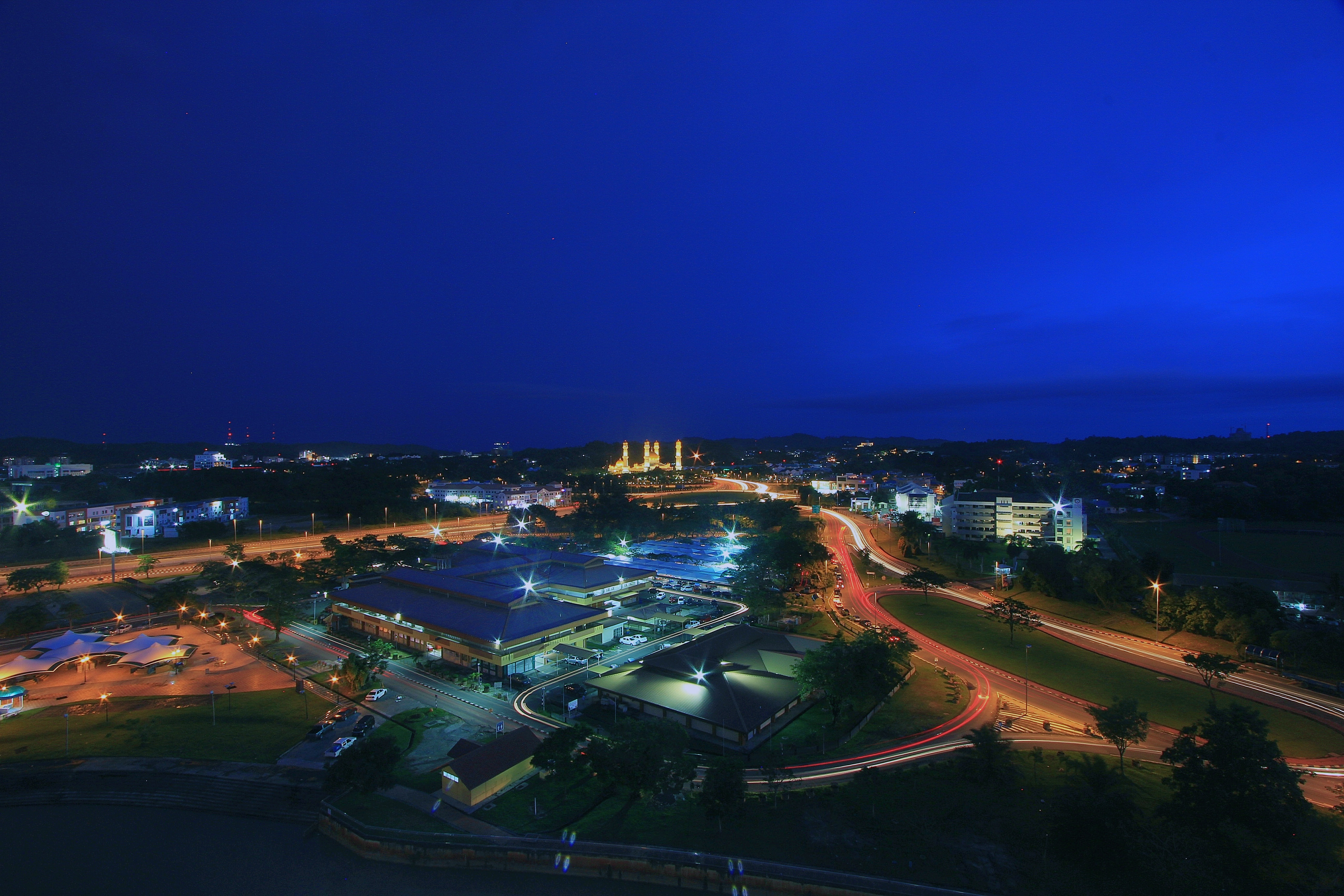
Light trails from above...
DB 2012

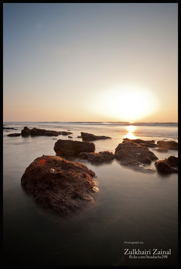
Sunrise at Sungai Tutong

The lone photographer II
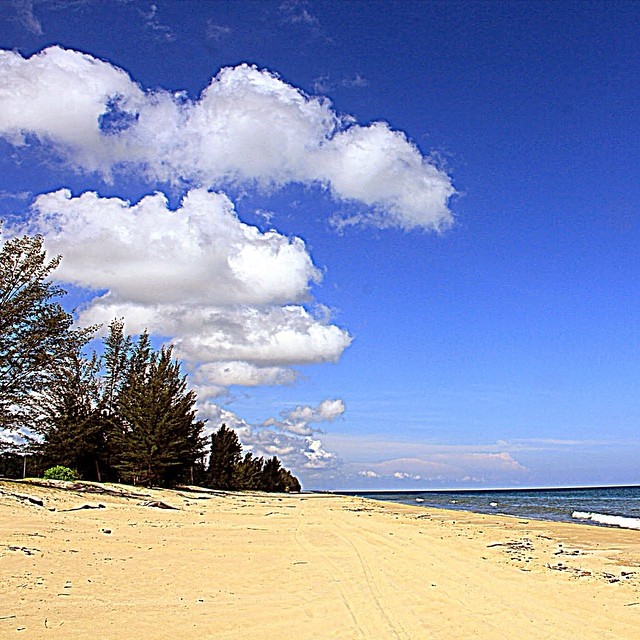
The unforgettable, beautiful, clean sands of Seri Kenangan #Beach is a long narrow spit of land that separates the calm #Tutong River from the wavy waters of South China Sea. Another popular picnic recreation spot for the family.
untitled-3

Landscape in infrared
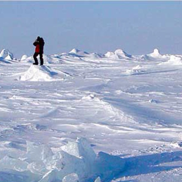
Since everyone doing a #throwback photo aku pun mau jua. Here I am in North Pole sorry gambar from far can't see my face. I am wearing Santa's baju basahan bagas nya misin rumput. #alumsusah

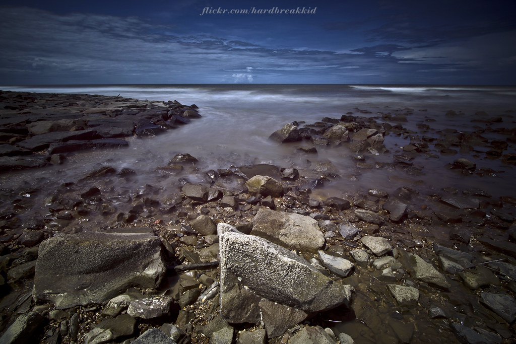
Empty Beach at Tutong

An "i" in the sky. For any questions, look up.
Topographic Map of Kampong Keriam, Brunei
Find elevation by address:

Places near Kampong Keriam, Brunei:
Penanjong
Tutong
Pekan Tutong
Kampong Kupang
Jalan Ikas Bandung
Jalan Ikas Bandung
Tutong District
Kampung Penapar
Sengkurong
Selayun
Jerudong Park Playground
Jerudong
Mukim Gadong B
Kampong Kiarong
Sungai Kebun
Gadong
Kampong Ayer
Bandar Seri Begawan
Band Bolkiah Garrison
Brunei International Airport
Recent Searches:
- Elevation of Corso Fratelli Cairoli, 35, Macerata MC, Italy
- Elevation of Tallevast Rd, Sarasota, FL, USA
- Elevation of 4th St E, Sonoma, CA, USA
- Elevation of Black Hollow Rd, Pennsdale, PA, USA
- Elevation of Oakland Ave, Williamsport, PA, USA
- Elevation of Pedrógão Grande, Portugal
- Elevation of Klee Dr, Martinsburg, WV, USA
- Elevation of Via Roma, Pieranica CR, Italy
- Elevation of Tavkvetili Mountain, Georgia
- Elevation of Hartfords Bluff Cir, Mt Pleasant, SC, USA