Elevation map of Brunei
Longitude: 114.727668
Latitude: 4.535277
Elevation: 58m / 190feet
Barometric Pressure: 101KPa
Elevation Map:
Satellite Map:
Related Photos:
The View

Tasek Merimbun Heritage Park.Brunei.

Fadzil Haji Dollah
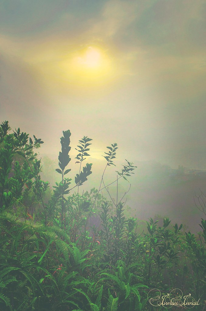
1st January 2015 sunrise outing with #bruneilandscapiers airbiscuit Amri HMS Azrol Azmi The Photographist Yuddin HB

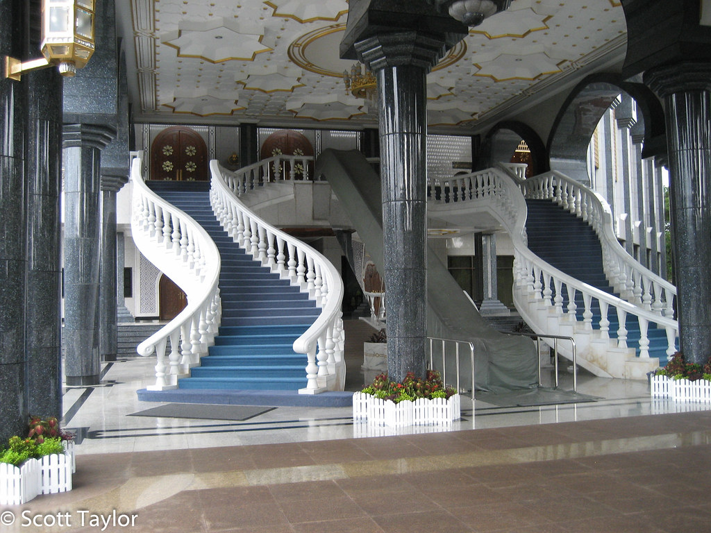
Gee teng wah
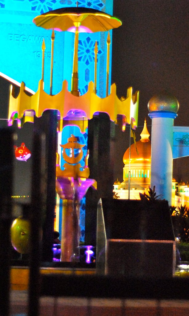
Brunei Palace
Topographic Map of Brunei
Find elevation by address:

Places in Brunei:
Brunei-muara District
Temburong District
Kuala Belait
Seria
Bukit Sawat
Kampong Keriam
Panaga
Kampung Penapar
Sungai Tujoh
Tutong District
Places near Brunei:
Bukit Sawat
Tutong District
Kampung Penapar
Pekan Tutong
Tutong
Kampong Keriam
Kampong Kupang
Penanjong
Jalan Ikas Bandung
Jalan Ikas Bandung
Sungai Kebun
Sengkurong
Selayun
Bangar
Mukim Gadong B
Seria
Unnamed Road
Kampong Kiarong
Kampong Ayer
Unnamed Road
Recent Searches:
- Elevation of Corso Fratelli Cairoli, 35, Macerata MC, Italy
- Elevation of Tallevast Rd, Sarasota, FL, USA
- Elevation of 4th St E, Sonoma, CA, USA
- Elevation of Black Hollow Rd, Pennsdale, PA, USA
- Elevation of Oakland Ave, Williamsport, PA, USA
- Elevation of Pedrógão Grande, Portugal
- Elevation of Klee Dr, Martinsburg, WV, USA
- Elevation of Via Roma, Pieranica CR, Italy
- Elevation of Tavkvetili Mountain, Georgia
- Elevation of Hartfords Bluff Cir, Mt Pleasant, SC, USA