Elevation of Palisades, ID, USA
Location: United States > Idaho > Bonneville County >
Longitude: -111.21772
Latitude: 43.3518627
Elevation: 1646m / 5400feet
Barometric Pressure: 83KPa
Elevation Map:
Satellite Map:
Related Photos:
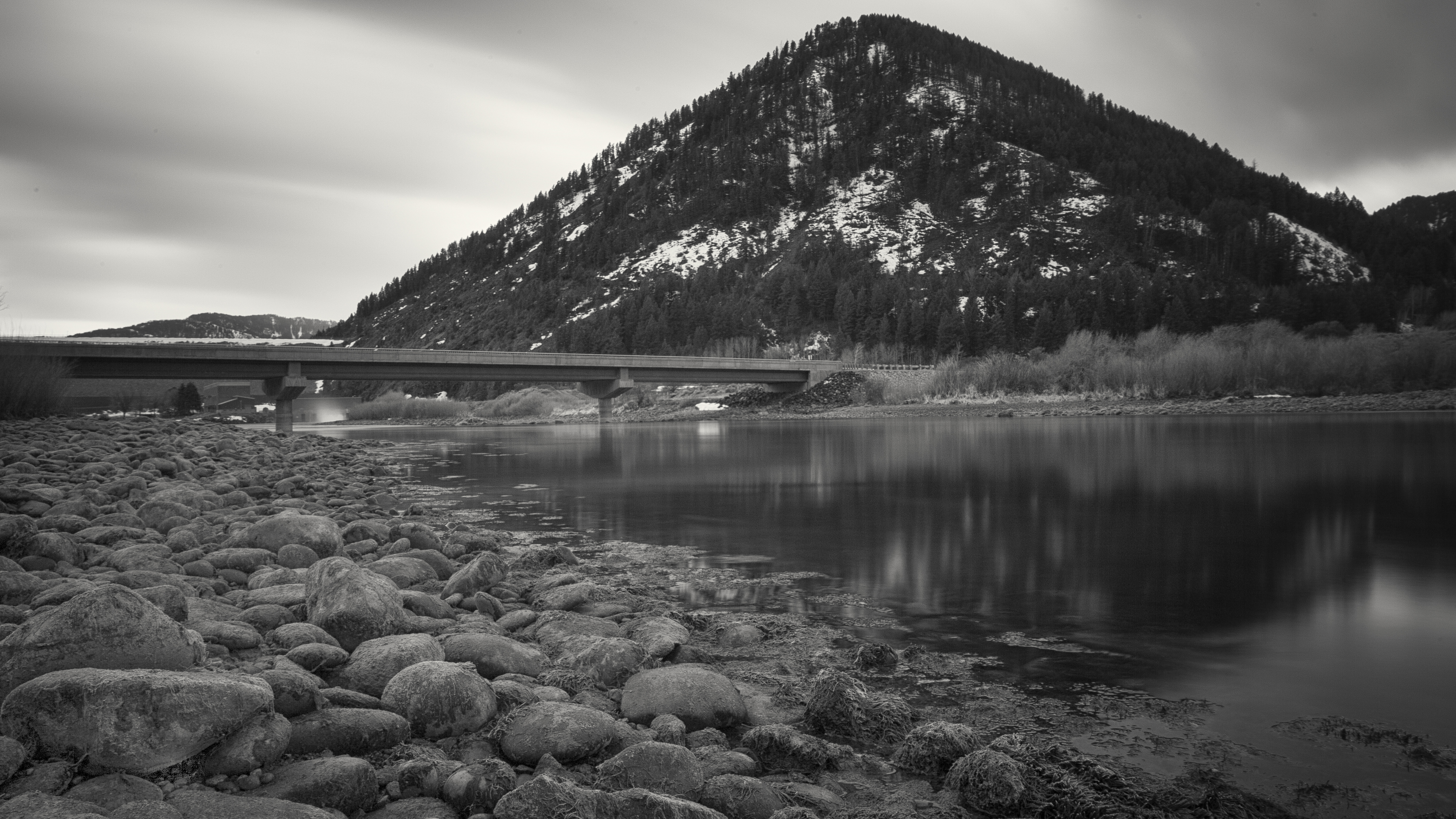
Winter Stillness

New Business Card
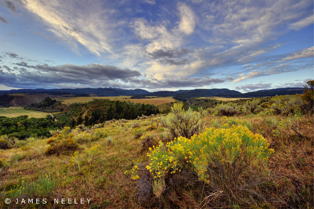
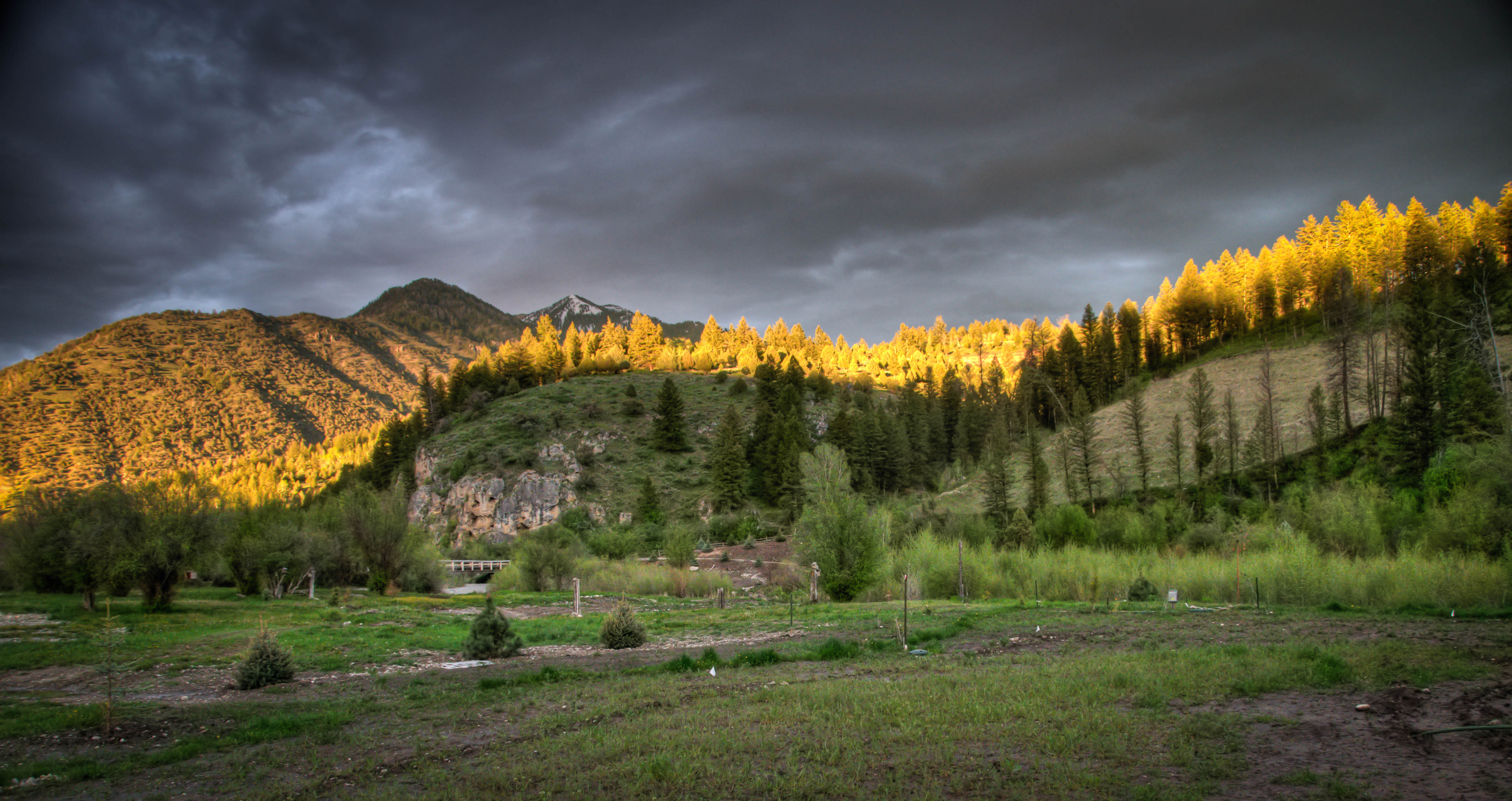
Swan Valley Sunrise

The View
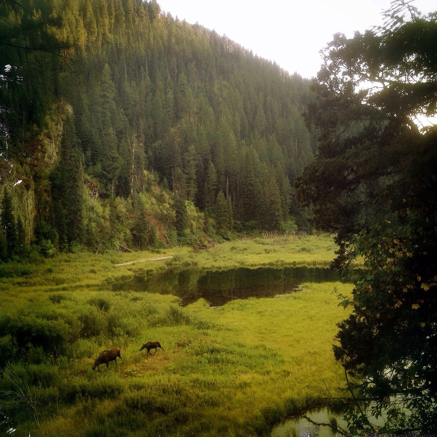
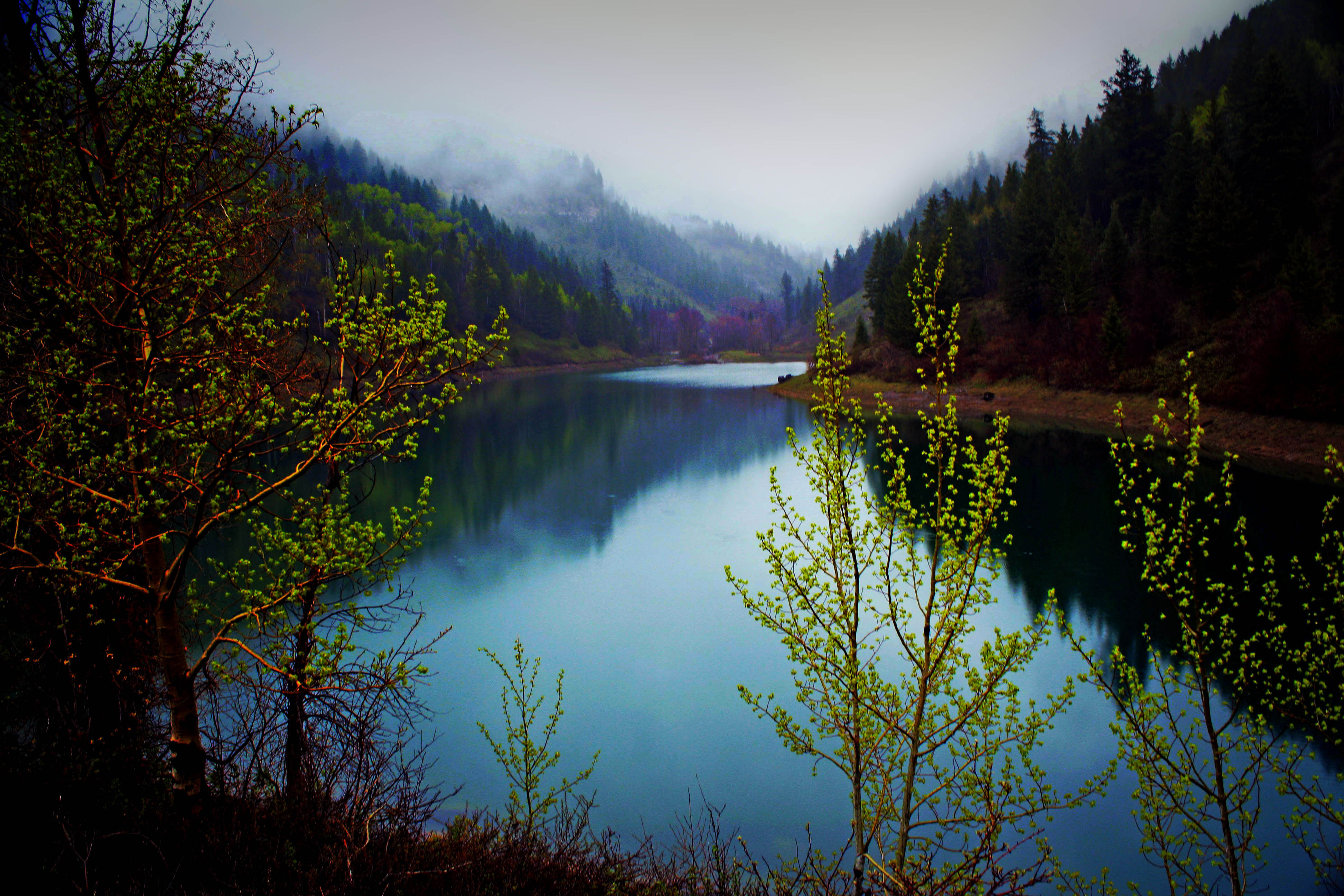
View up Palisades Creek Canyon

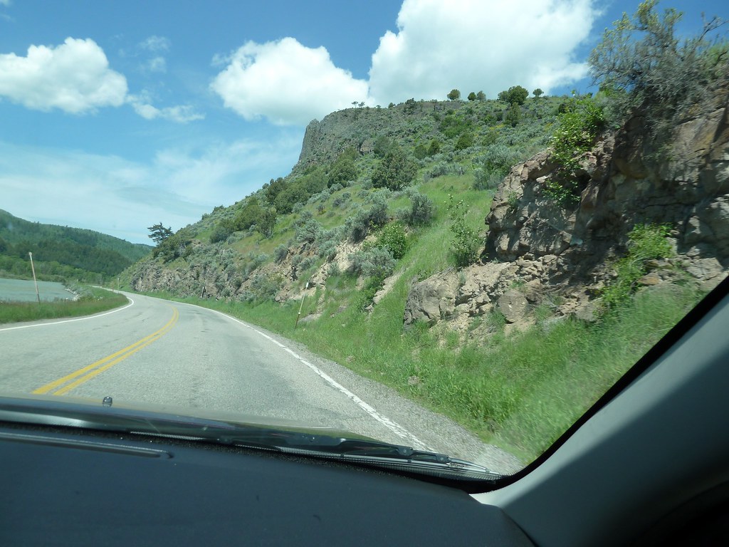
View from the road: from Jackson, Wy to Idaho Springs, Idaho
Road views: From Jackson, Wyoming to Idaho Falls, Idaho

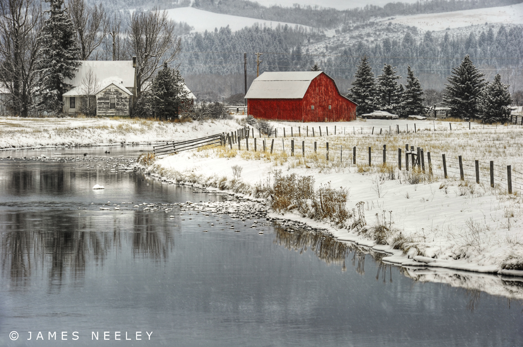
Deep in Winter
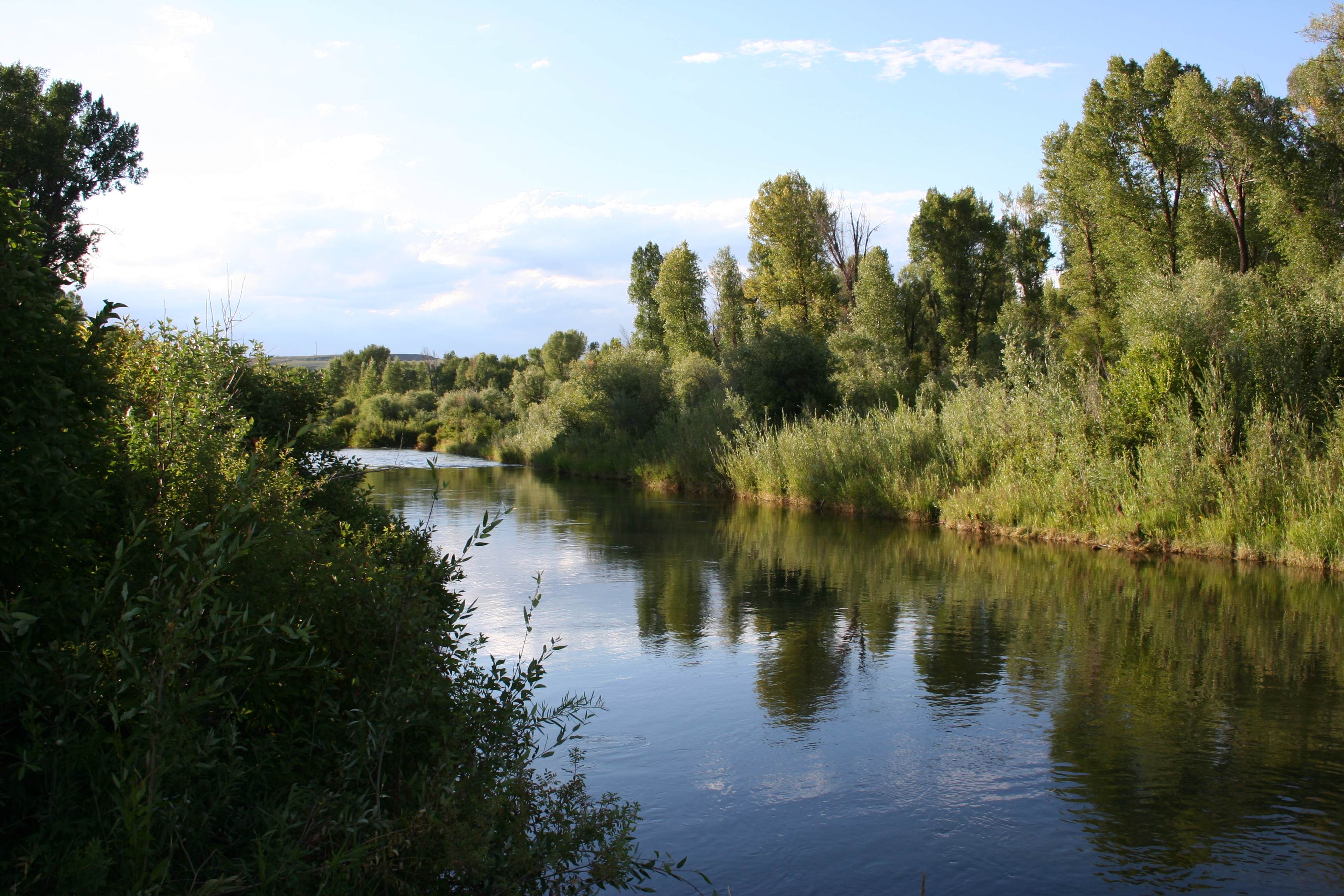
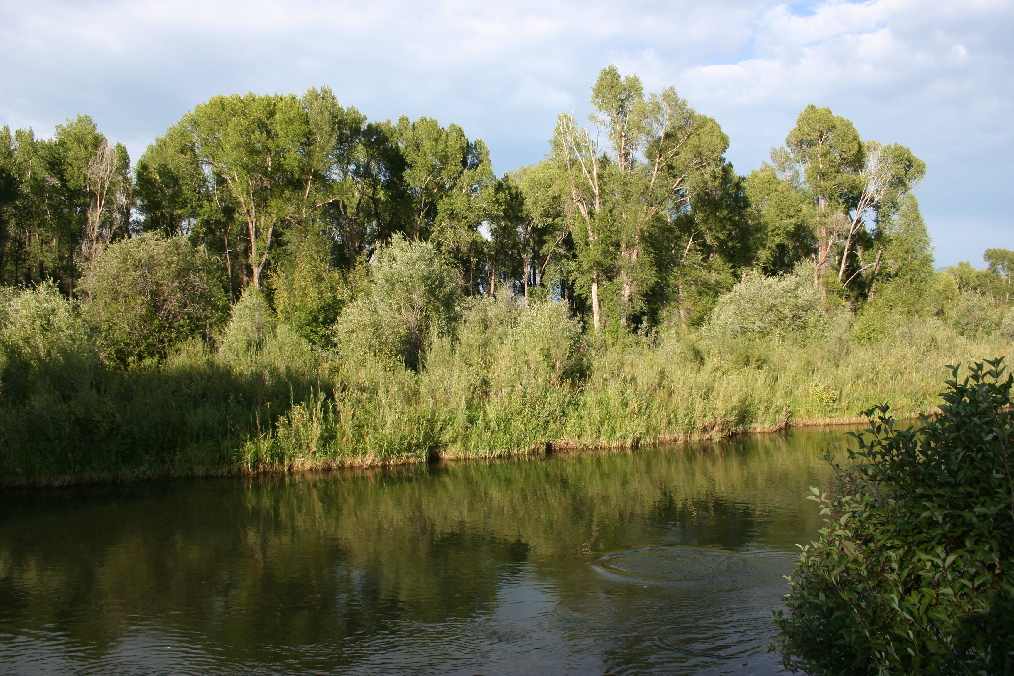
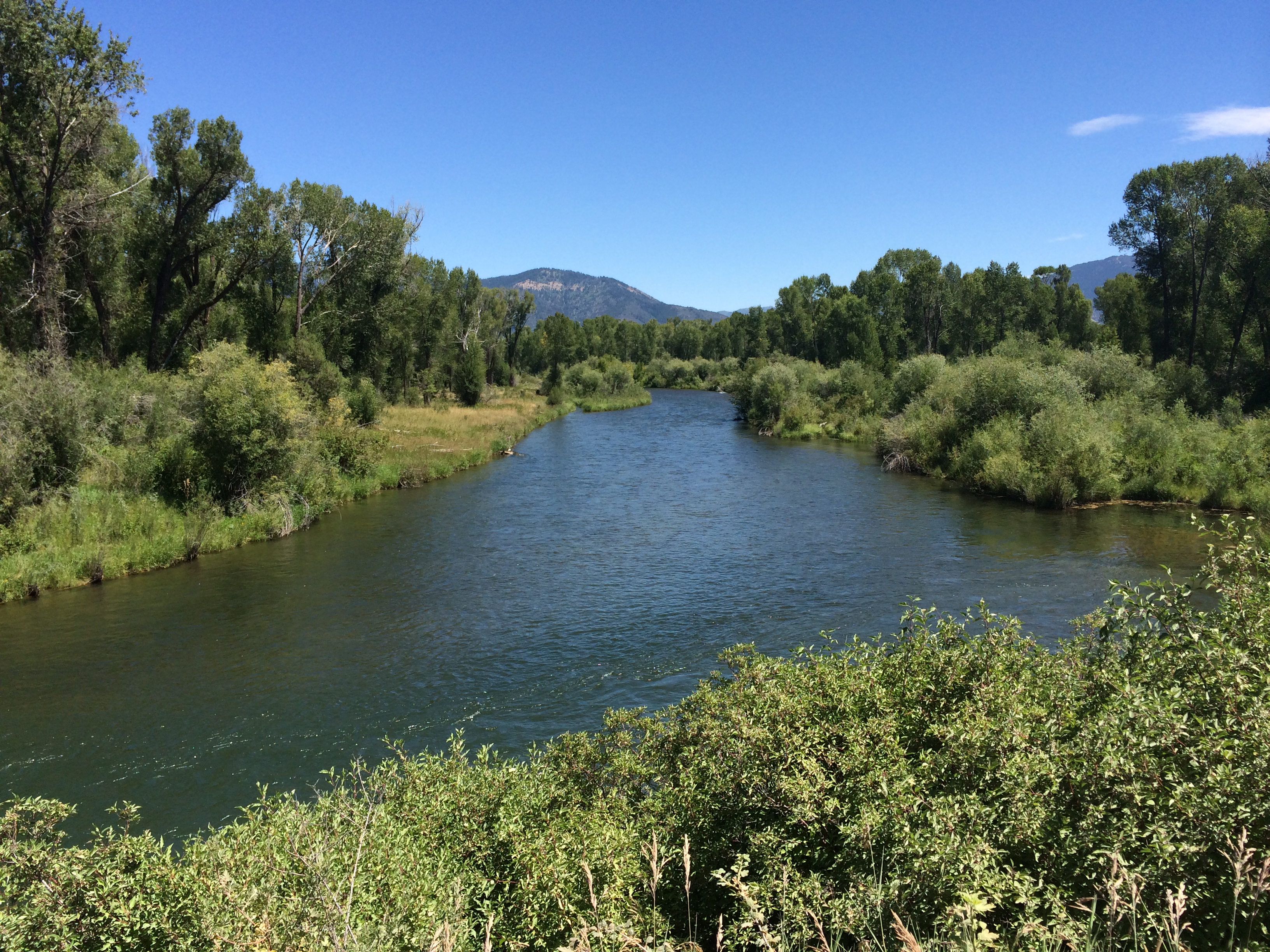
Cottonwoods on the Snake River
Next Door Neighbor

along the Snake river
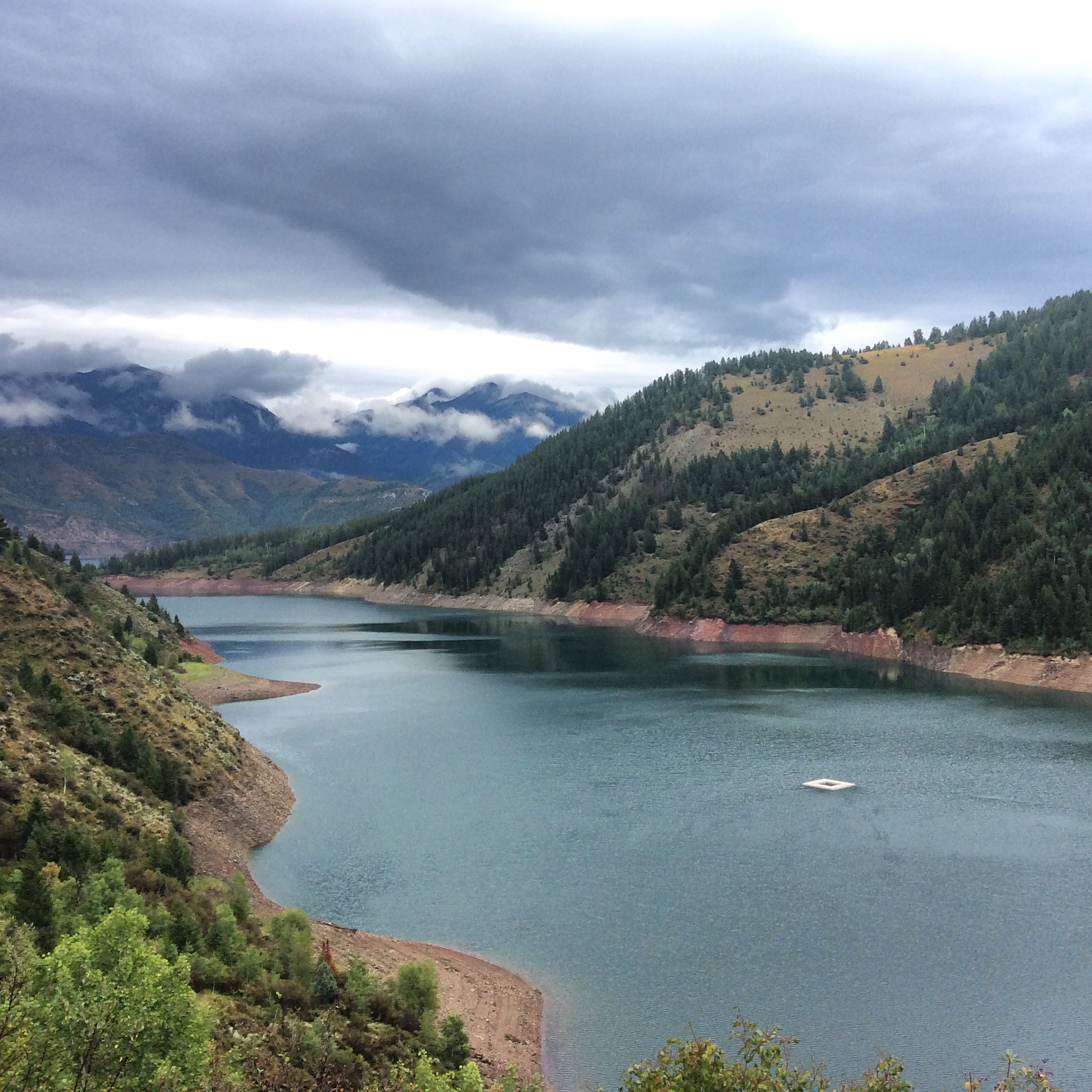
Palisades Reservoir, Idaho
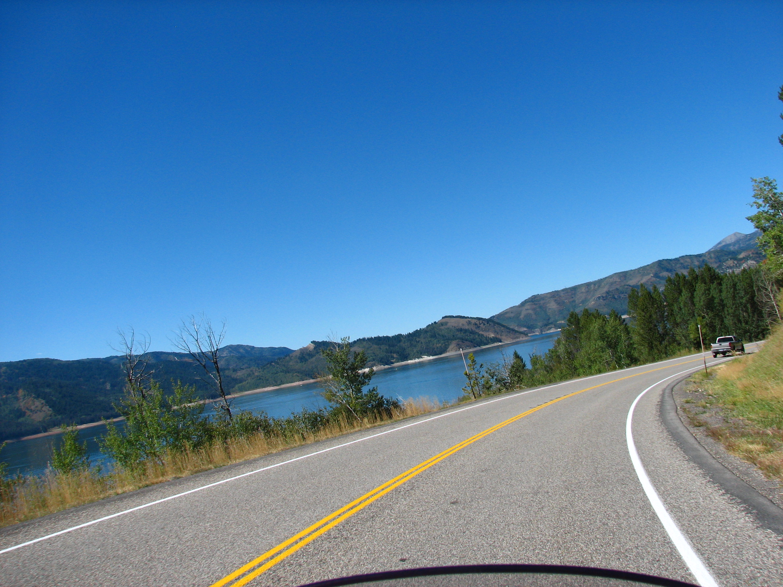
Hwy 26 & 31 Idaho
Palisades Reservoir Dam
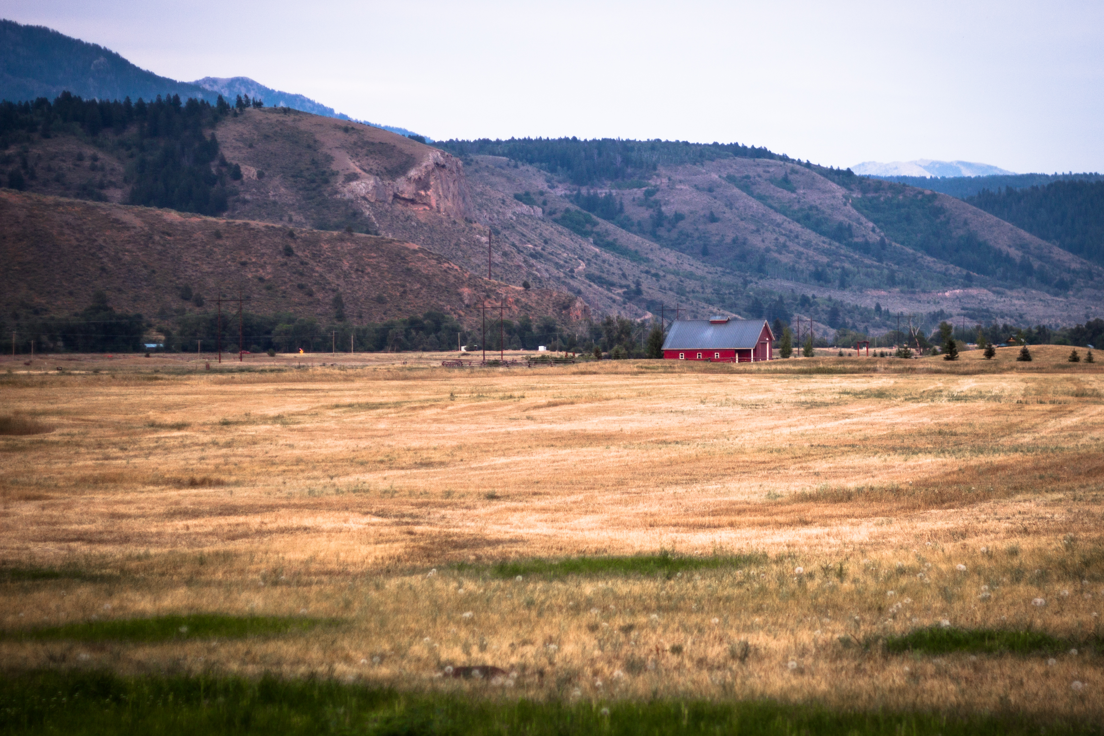
Sunset at Palisades House HDR
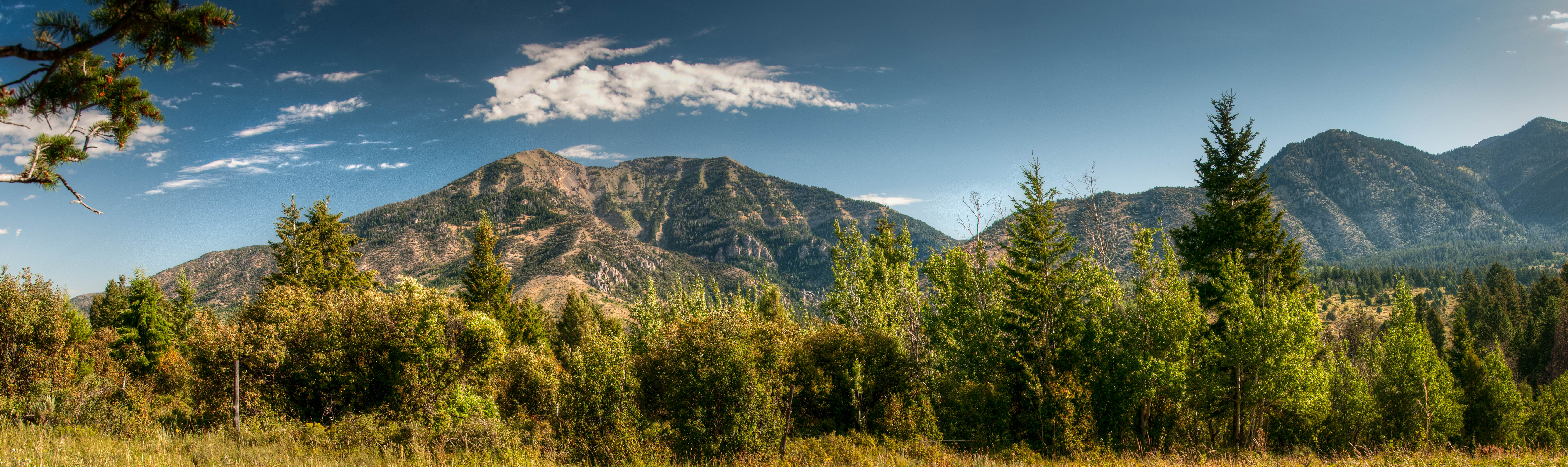
Baldy Mtn HDR Panorama
Palisade Creek Trail | Swan Valley, ID

Caribou-Targhee

Idaho is soms ook plat
Colors of Heaven
Snake River
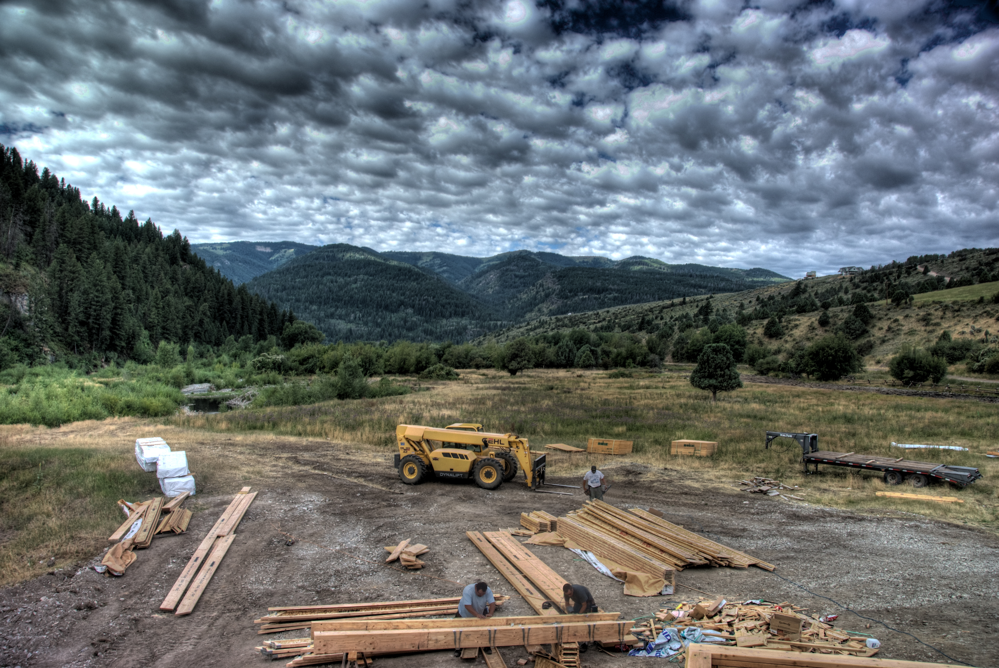
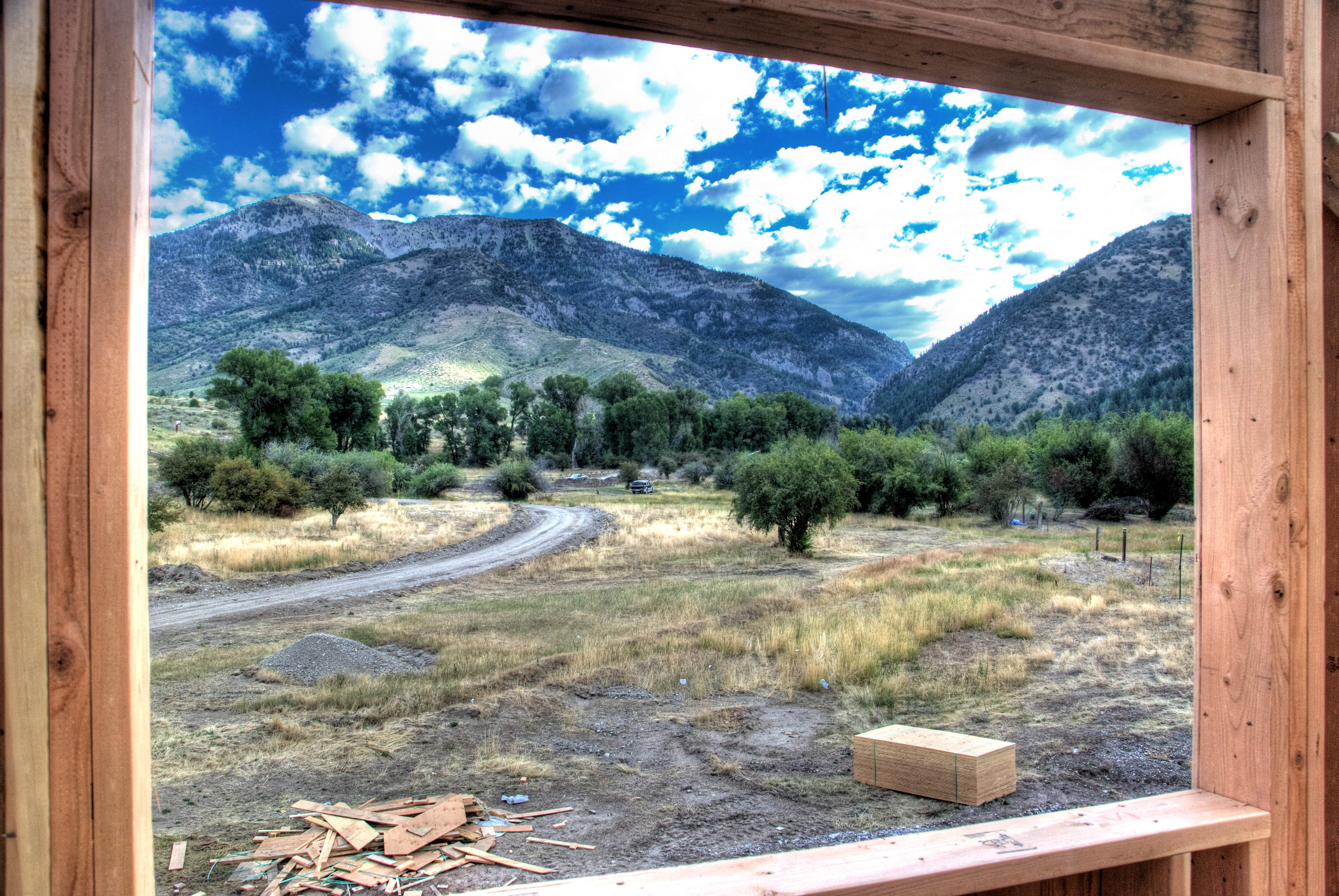
Palisades Creek House Construction
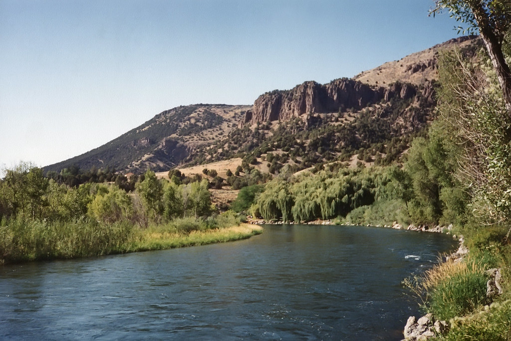
Snake River, Idaho, 1994

The Forested Mountain
Caribou-Targhee
Topographic Map of Palisades, ID, USA
Find elevation by address:

Places near Palisades, ID, USA:
White Tail Dr, Swan Valley, ID, USA
Buckthorn Way
Irwin
Swan Valley
Pine Creek Pass
Swan Valley Hwy, Ririe, ID, USA
Grays Lake Rd, Wayan, ID, USA
454 Grays Lake Rd
Grays Lake Rd, Wayan, ID, USA
Bonneville County
4317 Tincup Rd
Wayan
Henry Cutoff Road
Henry Cutoff Road
Bone Rd, Iona, ID, USA
1062 Bone Rd
7130 E Valco Dr
5243 Tildy Ln
Iona
5237 Treyden Dr
Recent Searches:
- Elevation of Corso Fratelli Cairoli, 35, Macerata MC, Italy
- Elevation of Tallevast Rd, Sarasota, FL, USA
- Elevation of 4th St E, Sonoma, CA, USA
- Elevation of Black Hollow Rd, Pennsdale, PA, USA
- Elevation of Oakland Ave, Williamsport, PA, USA
- Elevation of Pedrógão Grande, Portugal
- Elevation of Klee Dr, Martinsburg, WV, USA
- Elevation of Via Roma, Pieranica CR, Italy
- Elevation of Tavkvetili Mountain, Georgia
- Elevation of Hartfords Bluff Cir, Mt Pleasant, SC, USA