Elevation of Grays Lake Rd, Wayan, ID, USA
Location: United States > Idaho > Caribou County > Wayan >
Longitude: -111.36501
Latitude: 43.080502
Elevation: -10000m / -32808feet
Barometric Pressure: 295KPa
Elevation Map:
Satellite Map:
Related Photos:

Caribou City Panorama

Autumn and All It's Splendor

Wayan, Idaho

Grays Lake National Wildlife Refuge. Photo credit: USFWS

Morning Song
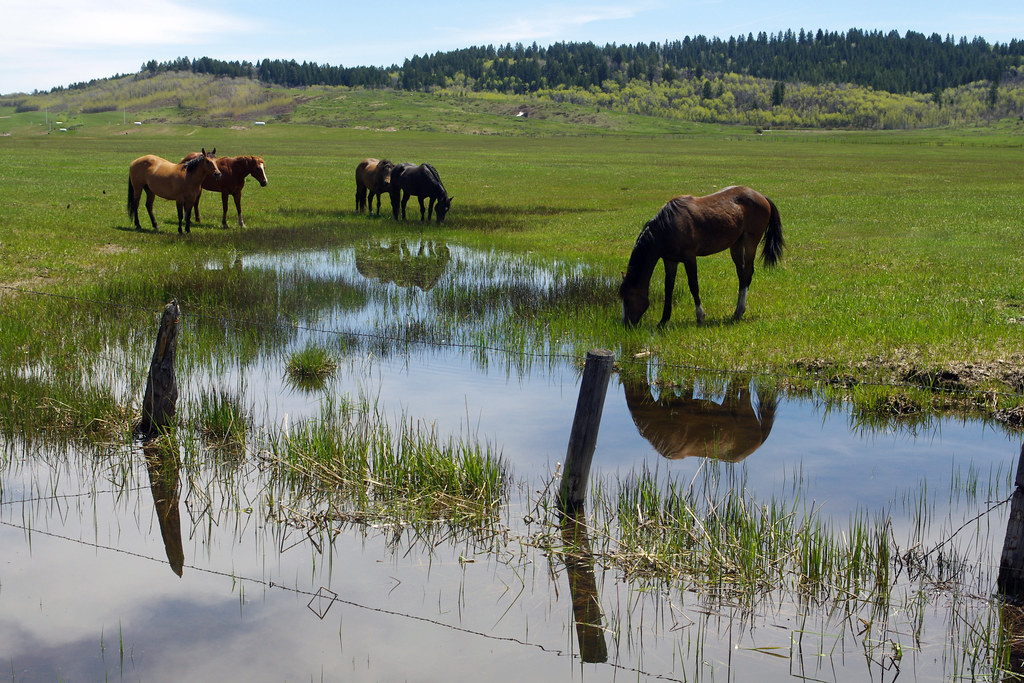
Around The Water Cooler

Caribou City Sluiceways
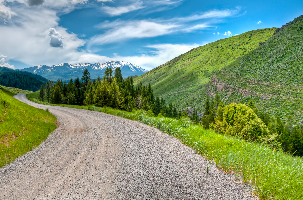
Road to Caribou City
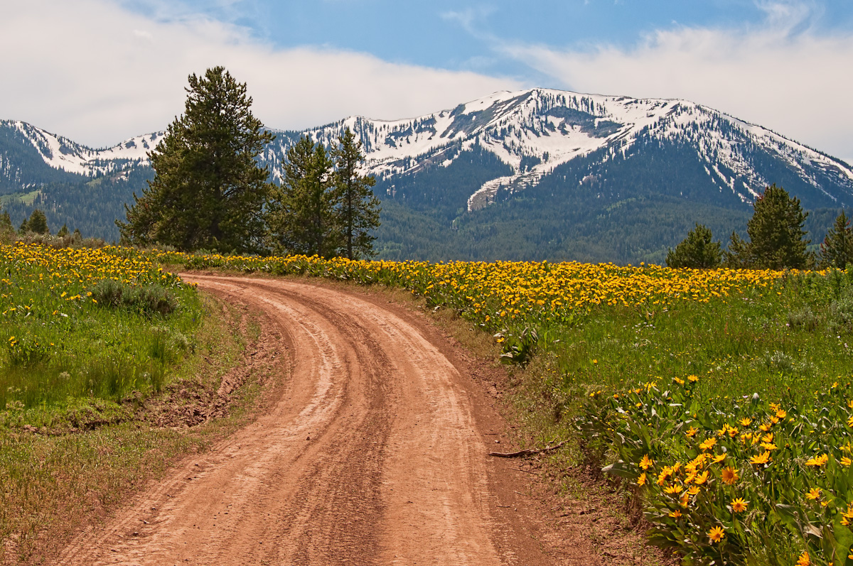
Road to Caribou Mountain

Sunbeams and Showers
Topographic Map of Grays Lake Rd, Wayan, ID, USA
Find elevation by address:

Places near Grays Lake Rd, Wayan, ID, USA:
Grays Lake Rd, Wayan, ID, USA
Grays Lake Rd, Wayan, ID, USA
4317 Tincup Rd
Wayan
Henry Cutoff Road
Henry Cutoff Road
White Tail Dr, Swan Valley, ID, USA
Palisades
Irwin
Buckthorn Way
Swan Valley
Swan Valley Hwy, Ririe, ID, USA
Bonneville County
Caribou County
Bone Rd, Iona, ID, USA
Soda Springs
Pine Creek Pass
1062 Bone Rd
N Hatch Loop, Bancroft, ID, USA
Georgetown
Recent Searches:
- Elevation of Corso Fratelli Cairoli, 35, Macerata MC, Italy
- Elevation of Tallevast Rd, Sarasota, FL, USA
- Elevation of 4th St E, Sonoma, CA, USA
- Elevation of Black Hollow Rd, Pennsdale, PA, USA
- Elevation of Oakland Ave, Williamsport, PA, USA
- Elevation of Pedrógão Grande, Portugal
- Elevation of Klee Dr, Martinsburg, WV, USA
- Elevation of Via Roma, Pieranica CR, Italy
- Elevation of Tavkvetili Mountain, Georgia
- Elevation of Hartfords Bluff Cir, Mt Pleasant, SC, USA