Elevation of Grays Lake Rd, Wayan, ID, USA
Location: United States > Idaho > Bonneville County >
Longitude: -111.37994
Latitude: 43.051094
Elevation: 1950m / 6398feet
Barometric Pressure: 80KPa
Elevation Map:
Satellite Map:
Related Photos:
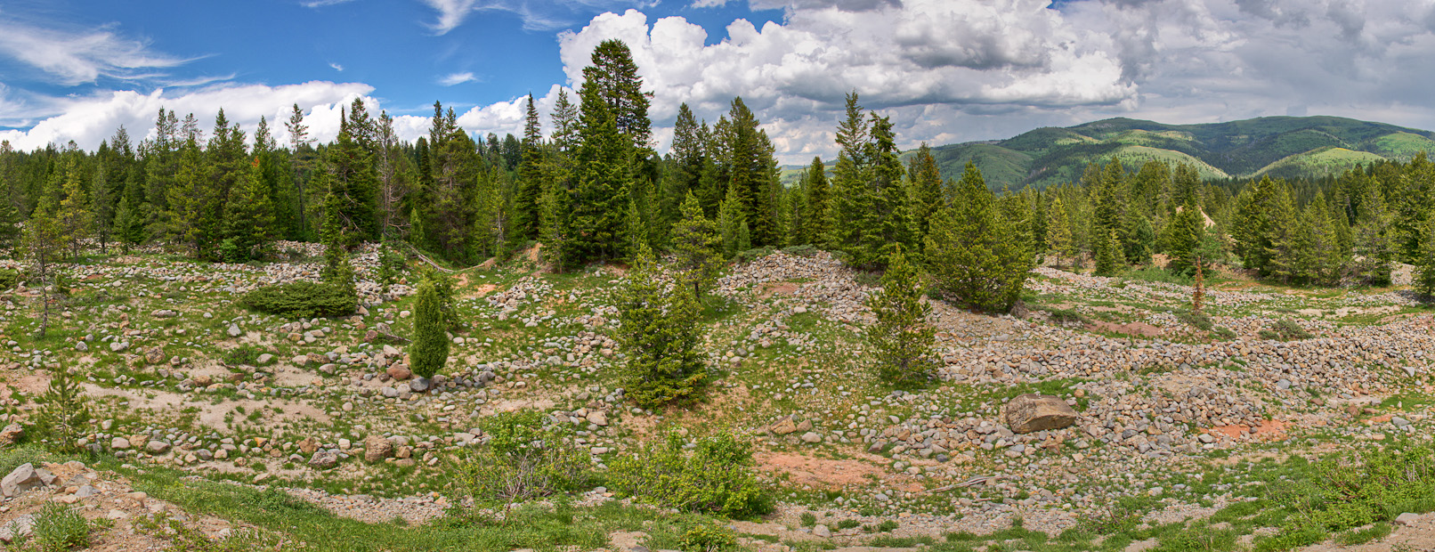
Caribou City Panorama
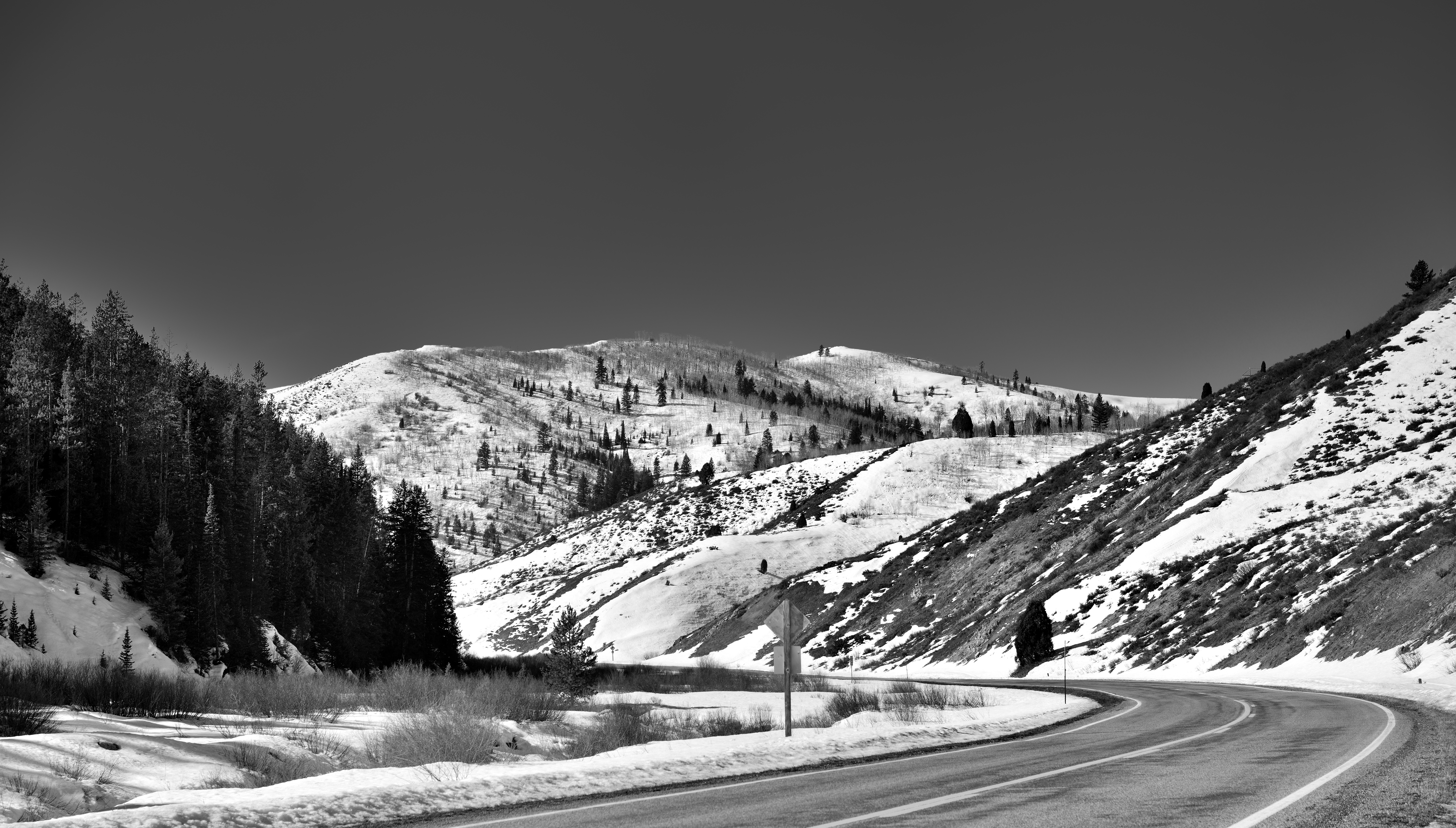
A Curve in the Highway with Mountains All Around (Black & White)

Grays Lake National Wildlife Refuge. Photo credit: USFWS
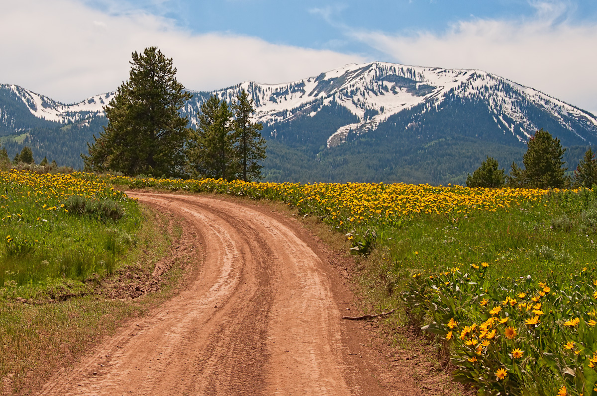
Road to Caribou City
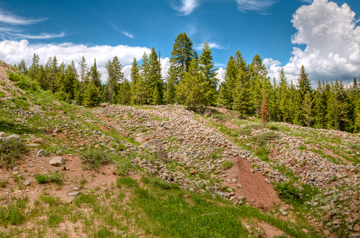
Caribou City Sluiceways

Morning Song

Incontri ravvicinati con vacche al pascolo

Incontri ravvicinati con vacche al pascolo
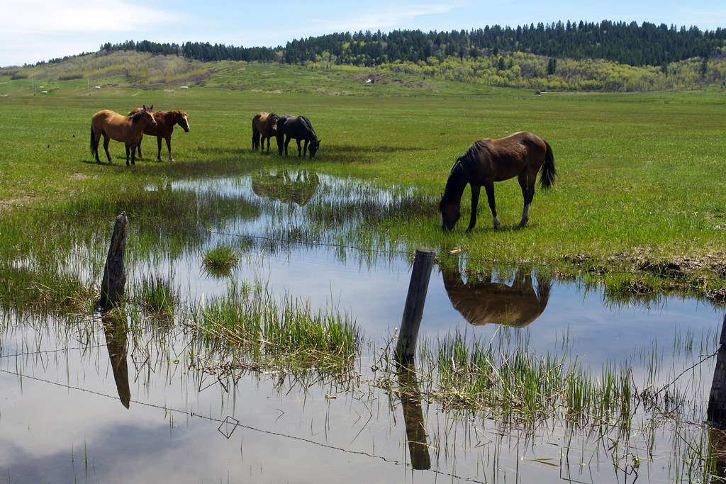
Around The Water Cooler
Topographic Map of Grays Lake Rd, Wayan, ID, USA
Find elevation by address:

Places near Grays Lake Rd, Wayan, ID, USA:
454 Grays Lake Rd
Wayan
4317 Tincup Rd
Grays Lake Rd, Wayan, ID, USA
Henry Cutoff Road
Henry Cutoff Road
White Tail Dr, Swan Valley, ID, USA
Palisades
Irwin
Buckthorn Way
Swan Valley
Caribou County
Swan Valley Hwy, Ririe, ID, USA
Bonneville County
Soda Springs
Bone Rd, Iona, ID, USA
N Hatch Loop, Bancroft, ID, USA
Pine Creek Pass
1062 Bone Rd
Georgetown
Recent Searches:
- Elevation of Corso Fratelli Cairoli, 35, Macerata MC, Italy
- Elevation of Tallevast Rd, Sarasota, FL, USA
- Elevation of 4th St E, Sonoma, CA, USA
- Elevation of Black Hollow Rd, Pennsdale, PA, USA
- Elevation of Oakland Ave, Williamsport, PA, USA
- Elevation of Pedrógão Grande, Portugal
- Elevation of Klee Dr, Martinsburg, WV, USA
- Elevation of Via Roma, Pieranica CR, Italy
- Elevation of Tavkvetili Mountain, Georgia
- Elevation of Hartfords Bluff Cir, Mt Pleasant, SC, USA