Elevation of Palamaner, Andhra Pradesh, India
Location: India > Andhra Pradesh > Chittoor >
Longitude: 78.7469436
Latitude: 13.1990798
Elevation: 678m / 2224feet
Barometric Pressure: 93KPa
Elevation Map:
Satellite Map:
Related Photos:

Image acquired by Sentinel-2B on 2019 January 19 at 5:24 UTC. Centre coordinates: 13.06 N, 78.74 E.

Image acquired by Sentinel-2B on 2019 January 9 at 5:24 UTC. Centre coordinates: 13.06 N, 78.74 E.

Varsha Restau where the APSRTC Bus stopped for lunch~II
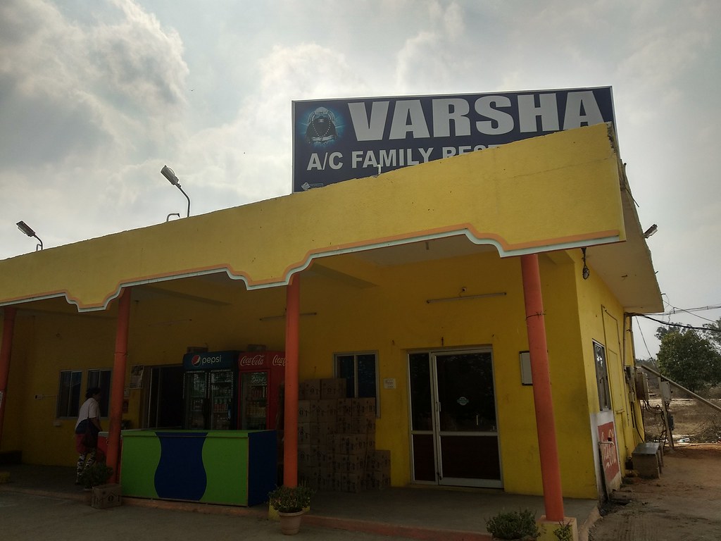
Varsha Restau where the APSRTC Bus stopped for lunch
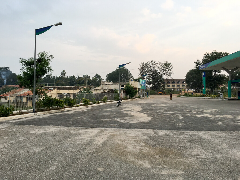
Reliance petrol bunk i think
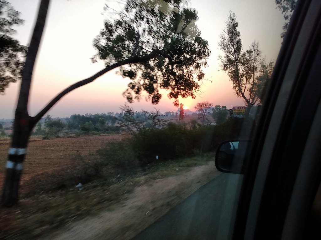
Sunrise on the Old Madras Road 22-Feb-2017

Moon from Pavithra Greenland Restaurant, Palamaner

Pavithra Greenland Restaurant, Palamaner
Topographic Map of Palamaner, Andhra Pradesh, India
Find elevation by address:

Places near Palamaner, Andhra Pradesh, India:
Bommanapalli Bus Stop
Bommanapalli
Gundugallu
Peranampattu
Venkatagirikota
Ramasamudram
Nimmanapalli
Ambur
Chembakur
Theneegalavaripalle
Madanapalle
Amburpettai
Chintamanipalli
Kolar
Horsley Hills Top Point
Horsley Hills Viewpoint
Horsley Hills
Horsley Hills Haritha Hill Resort
Kadirayacheruvu
Bangarapet
Recent Searches:
- Elevation of Corso Fratelli Cairoli, 35, Macerata MC, Italy
- Elevation of Tallevast Rd, Sarasota, FL, USA
- Elevation of 4th St E, Sonoma, CA, USA
- Elevation of Black Hollow Rd, Pennsdale, PA, USA
- Elevation of Oakland Ave, Williamsport, PA, USA
- Elevation of Pedrógão Grande, Portugal
- Elevation of Klee Dr, Martinsburg, WV, USA
- Elevation of Via Roma, Pieranica CR, Italy
- Elevation of Tavkvetili Mountain, Georgia
- Elevation of Hartfords Bluff Cir, Mt Pleasant, SC, USA